The best mountain hikes around Vallanzengo
4.5
(6)
36
hikers
4
hikes
Mountaineering routes around Vallanzengo offer a range of challenging ascents and scenic traverses within the Biella region. The area is characterized by its mountainous terrain, featuring prominent peaks like Monte Camino and Monte Mucrone, alongside several alpine lakes such as Mucrone Lake, Lago del Camino, and Lago Barma superiore. These routes often involve significant elevation gain, providing extensive views of the surrounding landscape.
Best mountaineering routes around Vallanzengo
- The most popular mountaineering route is Monte Camino – Rifugio Rosazza loop…
Last updated: June 24, 2026
4.5
(2)
12
hikers
13.1km
06:33
1,090m
1,090m
Hard mountaineering route. Very good fitness required. Sure-footedness, sturdy shoes and alpine experience required.
5.0
(1)
7
hikers
5.23km
01:53
280m
270m
Moderate mountaineering route. Great for any fitness level. Mostly accessible paths. Sure-footedness required.

Sign up for free
3
hikers
13.2km
06:39
1,100m
1,100m
Hard mountaineering route. Very good fitness required. Sure-footedness, sturdy shoes and alpine experience required.
Our route recommendations are based on thousands of hikes, rides, and runs completed by other people on komoot.
Start today with a free account
Your next adventure awaits.
Login or Signup
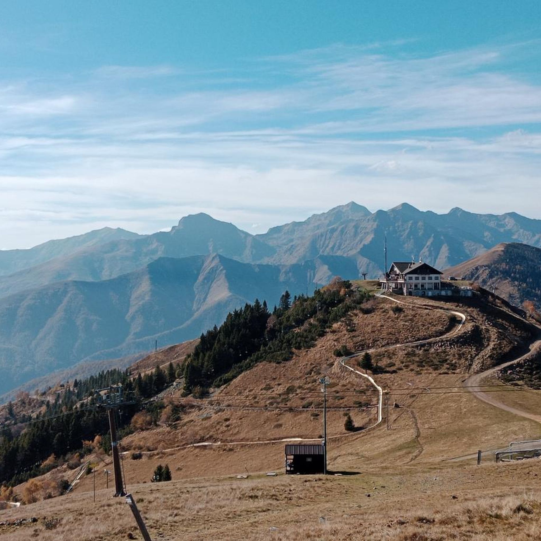
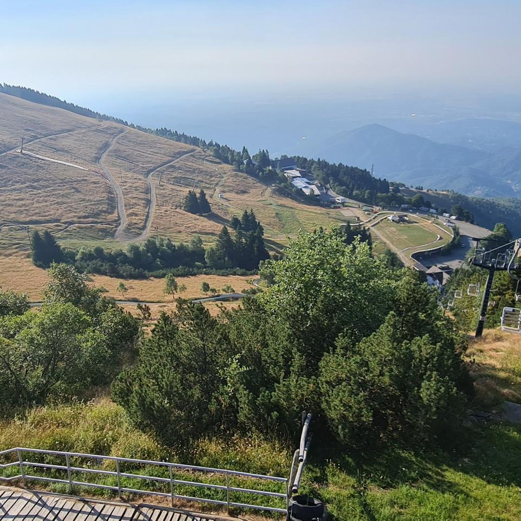
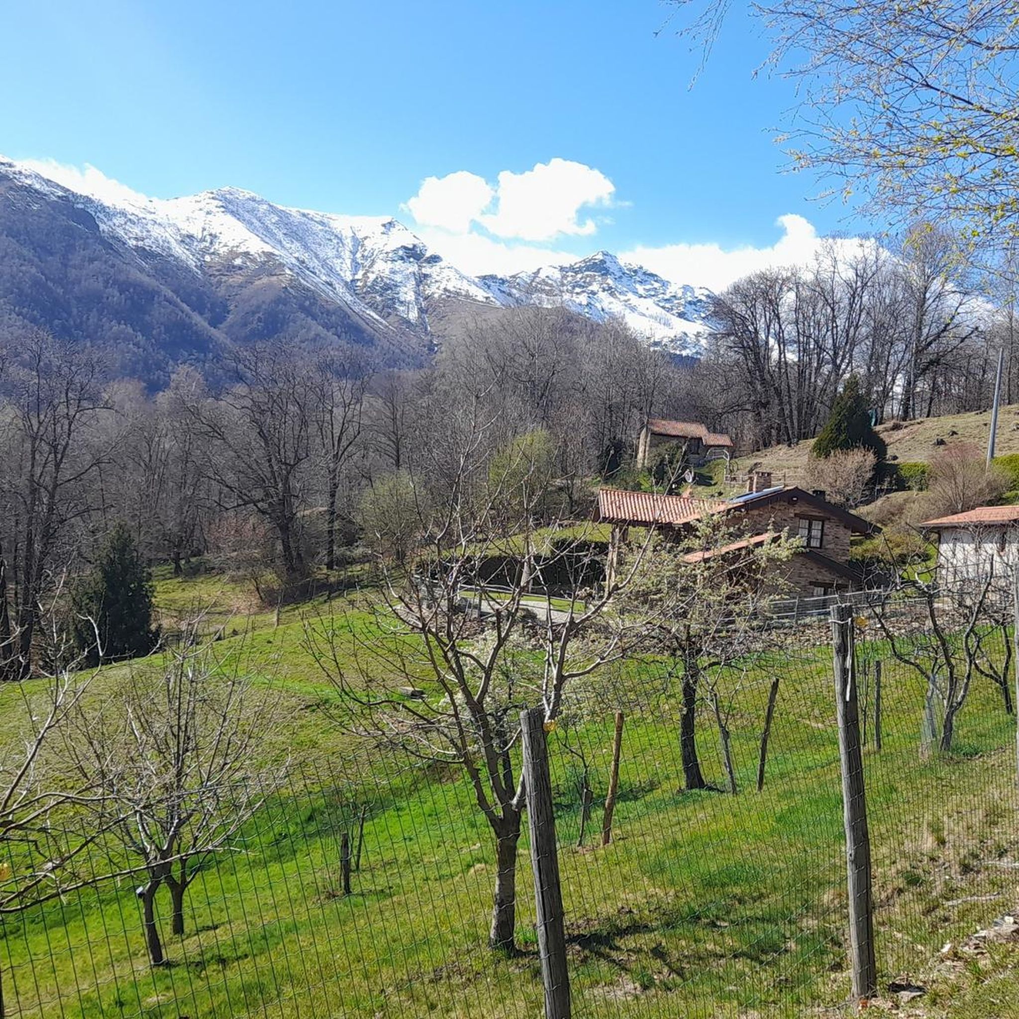


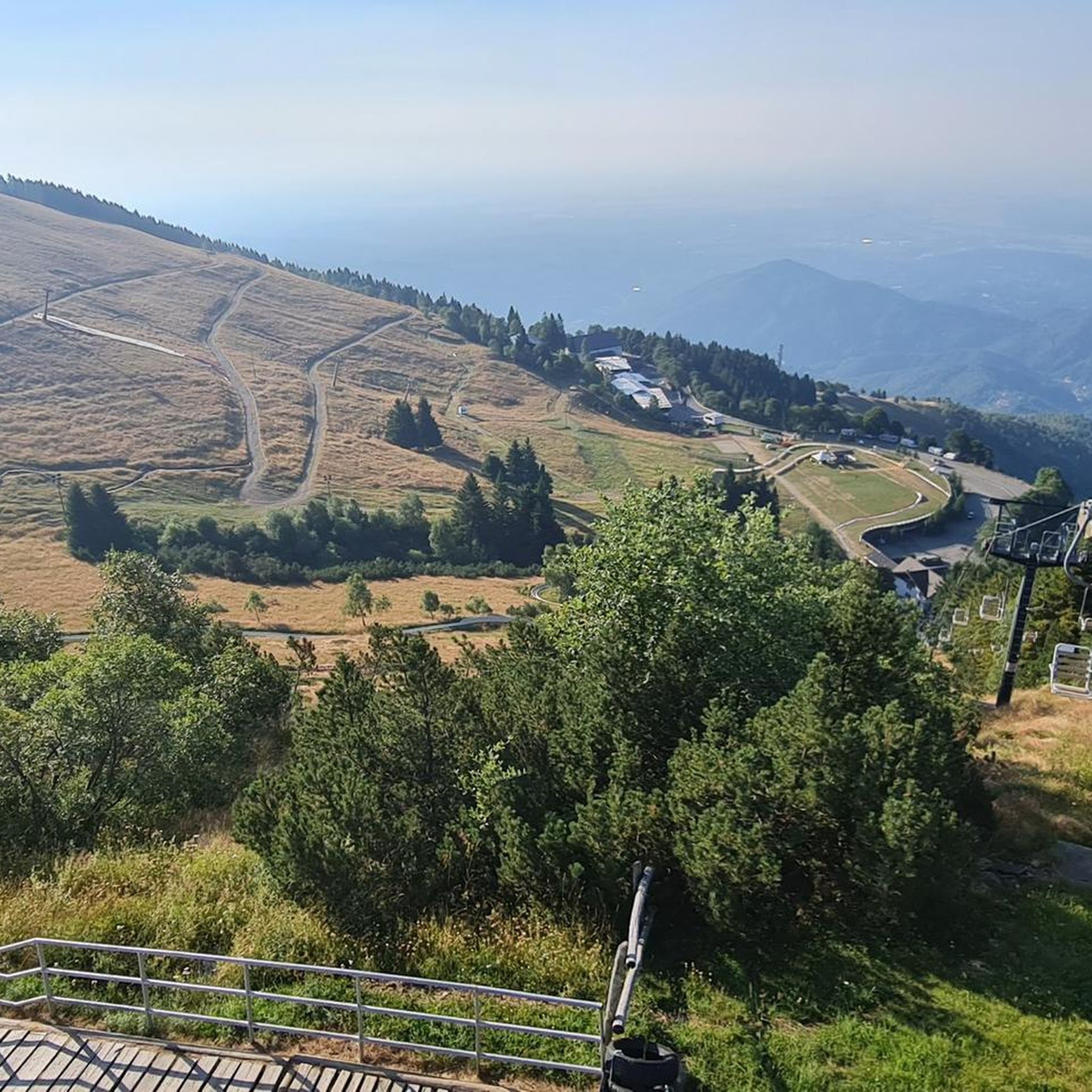
Tips from the Community


glacial lake that gives rise to the Oropa stream
0
0
built in 1936 and restored in 2006
0
0

Beautiful view that goes around the mountain, only for very expert MTBs. The path is very exposed and dangerous with many stones and rocks. If done on foot, it takes at least half an hour.
0
0

sanctuary about ten km above Biella, reachable by road bike along the only road from Biella, from Andrate, a town above Ivrea with the road called "Tracciolino" from Favaro, just above Biella by mountain bike along the route of the old train
1
0

A few meters from Lake Mucrone, if you are looking for a place to fill your water bottle, the Fonte del Bersagliere is the ideal place, where the freshest spring water flows.
0
0

The path to the Sanctuary of Oropa is a journey through nature, history, and spirituality: trails pass through ancient forests, hills, and charming villages, all the way up to the majestic Biella mountains. The itineraries, at times challenging, test your pace and endurance, but reward you with breathtaking views and the unique thrill of reaching one of Piedmont's most fascinating sacred sites.
2
2

The sanctuary of Oropa is a Marian sanctuary - dedicated to the Black Madonna - located a dozen kilometers north of the city of Biella, in the Oropa hamlet, at about 1,280 meters above sea level, in a natural amphitheater of mountains that surround the city below and are part of the Biella Alps. The sanctuary includes, in addition to a Sacred Mount (the Sacred Mount of Oropa), the original church built on the basis of an ancient shrine and the current sanctuary itself, equipped with various structures intended to accommodate the faithful and tourists. And it is also the Arrival of the Stage of the Giro d'Italia. The most famous one was in 1999 with the comeback of Marco Pantani who went on to win the Stage (Arrival dedicated to Him).
0
1
Frequently Asked Questions
How many mountaineering routes are available around Vallanzengo?
There are 9 mountaineering routes around Vallanzengo, offering a mix of challenging ascents and scenic traverses. The majority, 7 routes, are classified as difficult, with 2 moderate options available for those seeking less strenuous climbs.
Are there any beginner-friendly mountaineering routes in Vallanzengo?
While most routes around Vallanzengo are challenging, there are a couple of moderate options. For a less strenuous experience, consider the Poggio Canajone – Rocca d'Argimonia loop from Oasi Zegna, which covers 5.2 km with a more manageable elevation gain.
What is the best time of year for mountaineering in Vallanzengo?
The best time for mountaineering in Vallanzengo is typically from late spring to early autumn (June to September) when the weather is more stable and trails are clear of snow. However, conditions can vary, so always check local forecasts before heading out.
What are the conditions like for winter mountaineering in Vallanzengo?
Winter mountaineering in Vallanzengo can be demanding, with snow and ice presenting significant challenges. Routes often require specialized equipment like crampons and ice axes, and experience with winter conditions is essential. Always consult local mountain guides or authorities for current conditions and avalanche risks.
Are there any circular mountaineering routes in Vallanzengo?
Yes, many of the mountaineering routes in Vallanzengo are circular. For example, the challenging Monte Mucrone Summit – Lake Mucrone loop from Oropa offers a full circuit with stunning views of Mucrone Lake and the surrounding peaks.
What kind of wildlife might I encounter on the trails?
The mountainous terrain around Vallanzengo is home to various alpine wildlife. Keep an eye out for chamois and ibex on higher slopes, and listen for marmots. Birdwatchers might spot eagles or other raptors soaring above the peaks. Always observe wildlife from a distance and avoid disturbing their natural habitat.
Are there any notable landmarks or attractions along the mountaineering routes?
Yes, several significant landmarks and natural attractions are accessible. You can visit the historic Oropa Sanctuary, or explore natural features like the Oropa Stream Waterfall. The routes also offer views of prominent summits like Monte Barone.
What do other mountaineers enjoy most about the routes in Vallanzengo?
The komoot community highly rates the routes around Vallanzengo, with an average score of 4.75 stars. Mountaineers often praise the challenging ascents, the rewarding panoramic views from peaks like Monte Camino, and the serene beauty of alpine lakes such as Mucrone Lake and Lago del Camino.
Are there any hidden gem mountaineering trails in the area?
While many routes are well-known, exploring the less frequented sections of the Biella region can reveal hidden gems. The area's diverse terrain means that even familiar trails can offer new perspectives, especially during different seasons. Consider exploring routes that traverse the less-visited valleys for a more secluded experience.
What should I pack for a mountaineering trip in Vallanzengo?
For mountaineering in Vallanzengo, essential gear includes sturdy hiking boots, layered clothing suitable for changing mountain weather, rain gear, a map and compass (or GPS device), sufficient water and snacks, a first-aid kit, and sun protection. For more challenging or winter routes, specialized equipment like helmets, harnesses, and ice axes may be necessary.
Are there any cafes or pubs near the trailheads in Vallanzengo?
Many of the routes start near Oropa, where you can find facilities including cafes and restaurants, particularly around the Oropa Sanctuary. These spots offer a chance to refuel before or after your mountaineering adventure.
Are permits required for mountaineering in Vallanzengo?
Generally, permits are not required for day mountaineering trips on established trails in the Vallanzengo area. However, if you plan to access specific protected areas or engage in activities like climbing, it's always best to check with local authorities or park management for any specific regulations or permit requirements.
Most popular routes around Vallanzengo
Most popular attractions around Vallanzengo

Get inspired with the komoot mobile app


Explore more
Browse the best Mountain Hikes & Routes in other regions.
