The best walks and hikes around Buonalbergo
3.9
(7)
30
hikers
12
hikes
Hiking around Buonalbergo offers routes through a landscape characterized by rolling hills, historical sites, and forested paths. The region features a mix of cultural landmarks, such as ancient necropolises and Norman towers, alongside natural scenery. Trails often provide views of local villages and extend into wooded areas. The terrain includes moderate ascents and descents, suitable for various hiking experiences.
Best hiking trails around Buonalbergo
- The most popular hiking route is From Buonalbergo to the Samnite necropolis, a 5.5 miles…
Last updated: October 24, 2026
4.0
(1)
16
hikers
29.5km
08:50
960m
780m
Hard hike. Very good fitness required. Easily walkable paths.
26.5km
08:14
1,050m
830m
Hard hike. Very good fitness required. Easily walkable paths.

8.78km
02:45
360m
360m
Moderate hike. Good fitness required. Easily walkable paths.
3.0
(1)
3
hikers
Moderate hike. Good fitness required. Easily walkable paths.
1
hikers
2.73km
00:49
90m
80m
Easy hike. Easily walkable paths.
Get access to more routes and recommendations from other explorers.
Already have an account?
Our route recommendations are based on thousands of hikes, rides, and runs completed by other people on komoot.
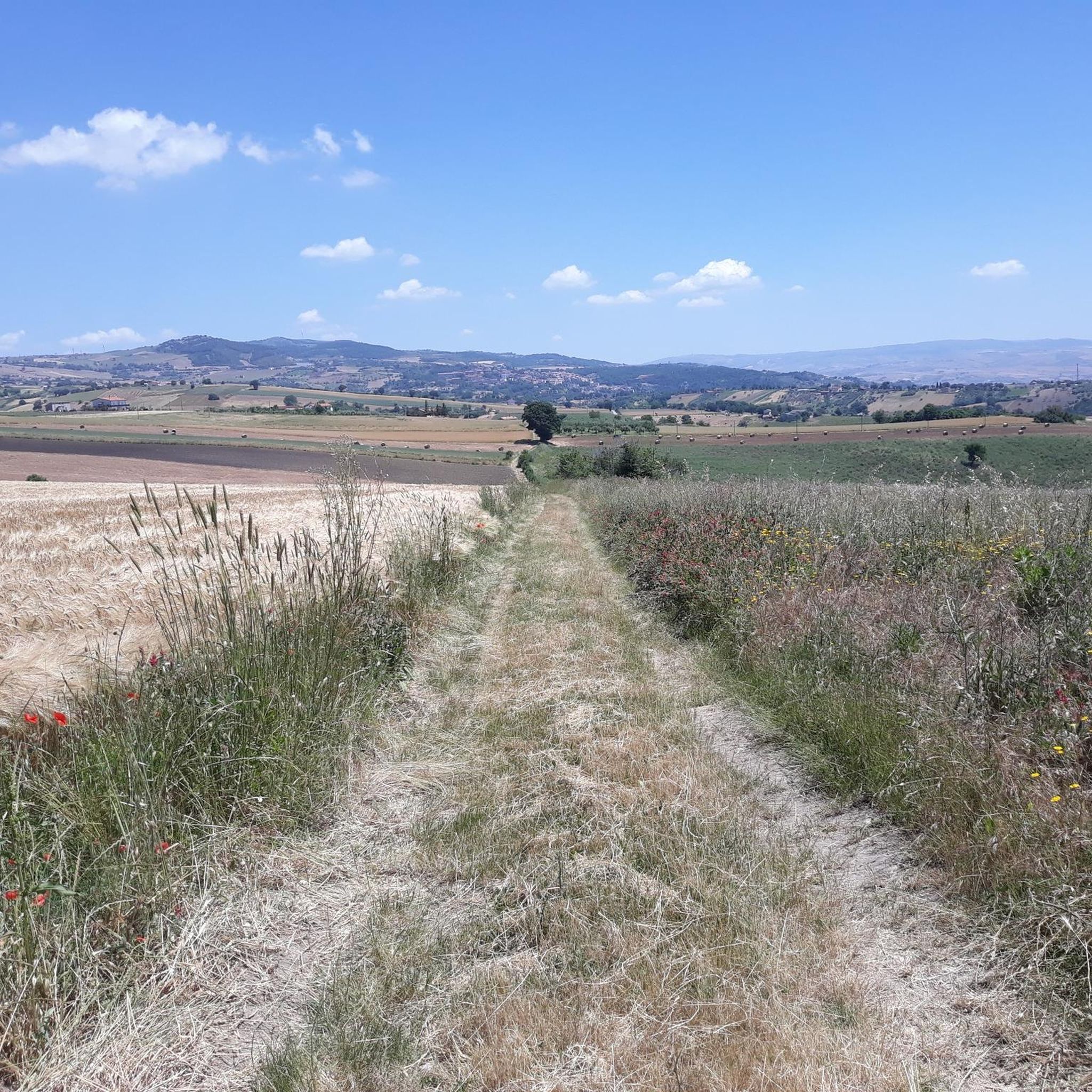
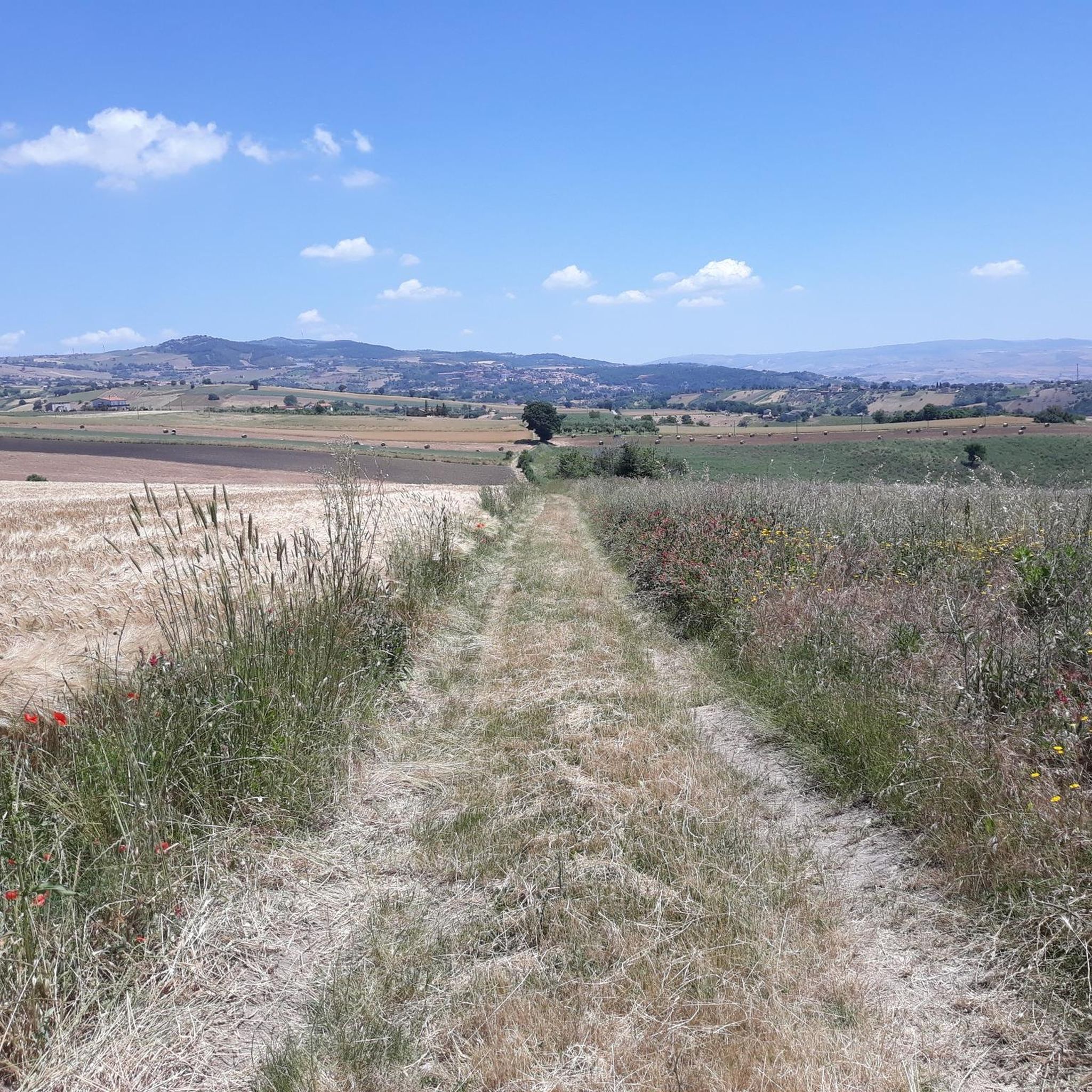
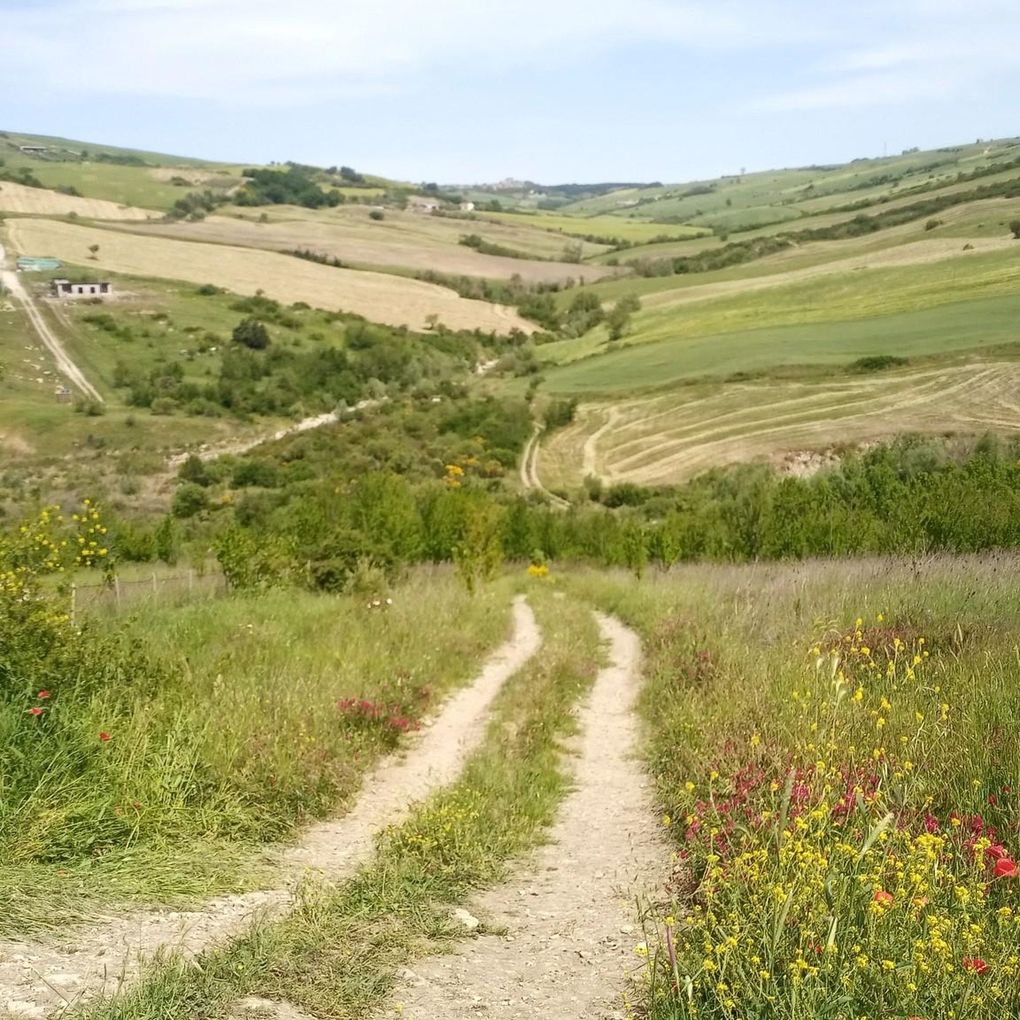
Tips from the Community

Montefalcone is the highest municipality in the province of Benevento: 830 meters, with the territory reaching 981, and on clear days you can see the mountains of Abruzzo and Basilicata. The old center is perched around the ruins of the castle, which hosted Alfonso of Aragon in 1439. Then the earthquakes took their toll, the one in 1456 and the one in 1962, and today the town is divided into two distinct parts: the old one on the hill, the new one lower down. Administrative curiosity: until 1861 Montefalcone was in the province of Foggia, and the addition “di Val Fortore” only arrived in 1863, so as not to confuse it with the other Montefalcone towns in Italy. The Fortore river rises right here, in the Trivolicchio area, and after about a hundred kilometers it ends in the Adriatic. On the surrounding ridges you can see wind turbines: the park dates back to 1995-96, one of the first in Italy. Worth seeing is the Museo della Civiltà Contadina (Museum of Peasant Civilization), with about three thousand objects distributed in thirteen rooms.
0
0

Montefalcone di Val Fortore is a town in the province of Benevento, near the border between Campania and Puglia. The Fortore river is born in the municipal area and is the highest municipality in the province with the historic village located more than 800 meters above sea level.
2
0

Buonalbergo is located at an altitude of 555 and it is assumed that it was built by some refugees from nearby villages that were destroyed by the Barbarians. Definitely worth seeing the Ponte delle Chianche, a Roman bridge still quite well preserved.
1
0
Here there are probably burial mounds and monumental burials, although research on this site is still ongoing, but it is very probable that the mounds were used in the past mainly by the local elite.
2
0
Frequently Asked Questions
How many hiking trails are available around Buonalbergo?
There are 6 distinct hiking routes documented around Buonalbergo on komoot, offering a variety of experiences through the region's landscape.
Are there easy hiking trails suitable for beginners in Buonalbergo?
Yes, Buonalbergo offers several easy trails perfect for beginners or those looking for a relaxed walk. An example is the Forest Trailhead – Tumuli Forest Path loop from Casalbore, which is 1.7 miles (2.7 km) long and typically takes less than an hour to complete.
What kind of scenery can I expect on the hiking trails in Buonalbergo?
The trails around Buonalbergo are characterized by rolling hills, historical sites, and forested paths. You'll often find views of local villages, ancient necropolises, and Norman towers, alongside natural scenery.
Which trails offer the best panoramic views of the region?
For panoramic vistas, consider the View of the Italian Village loop from Montefalcone di Val Fortore. This moderate 5.2-mile (8.4 km) path provides expansive views of the surrounding Italian villages and countryside.
Are there any historical sites or landmarks to explore along the hiking routes?
Absolutely. The region is rich in history. A notable route is From Buonalbergo to the Samnite necropolis, which leads directly to an ancient historical site. You can also find attractions like Apice Vecchia and the Ariano Irpino Castle nearby.
What is the best time of year to go hiking in Buonalbergo?
Spring (April-May) and Autumn (September-October) are generally the most pleasant times for hiking in Buonalbergo. The weather is mild, and the landscapes are vibrant with spring blooms or autumn colors. Summer can be hot, while winter offers cooler, quieter trails.
Are the hiking trails in Buonalbergo suitable for families with children?
Many of the easier trails are suitable for families. The Piana Romana Sanctuary loop from Pietrelcina is an easy 2.5-mile (4.1 km) route that could be a good option for a family outing, offering a manageable distance and elevation.
Can I bring my dog on the hiking trails in Buonalbergo?
Generally, dogs are welcome on most hiking trails in the Buonalbergo area, especially on leash. It's always advisable to check local regulations or signage at specific trailheads, and ensure you clean up after your pet.
Is parking available near the hiking trailheads in Buonalbergo?
While specific parking details for every trailhead are not always listed, you can typically find parking in or near the villages that serve as starting points for the routes, such as Buonalbergo, Montefalcone di Val Fortore, or Casalbore.
What do other hikers enjoy the most about hiking in Buonalbergo?
The hiking routes in Buonalbergo are highly rated by the komoot community, with an average score of 3.75 stars. Hikers often praise the blend of historical exploration with natural beauty, particularly the opportunities to see ancient sites and enjoy village views.
Are there any circular walks available in the Buonalbergo area?
Yes, several routes are designed as loops, allowing you to start and end in the same location. Examples include the View of the Italian Village loop from Montefalcone di Val Fortore and the Norman Tower of Casalbore – Tumuli Forest Path loop from Casalbore.
What kind of wildlife might I encounter while hiking?
The forested and rural areas around Buonalbergo are home to various local wildlife. While specific sightings are never guaranteed, you might spot common birds, small mammals, and insects typical of the Italian countryside. Keep an eye out, especially during quieter times of day.
Most popular attractions around Buonalbergo

Get inspired with the komoot mobile app


Explore more
Browse the best Hikes in other regions.
