The best walks and hikes around Nissoria
4.6
(6)
21
hikers
4
hikes
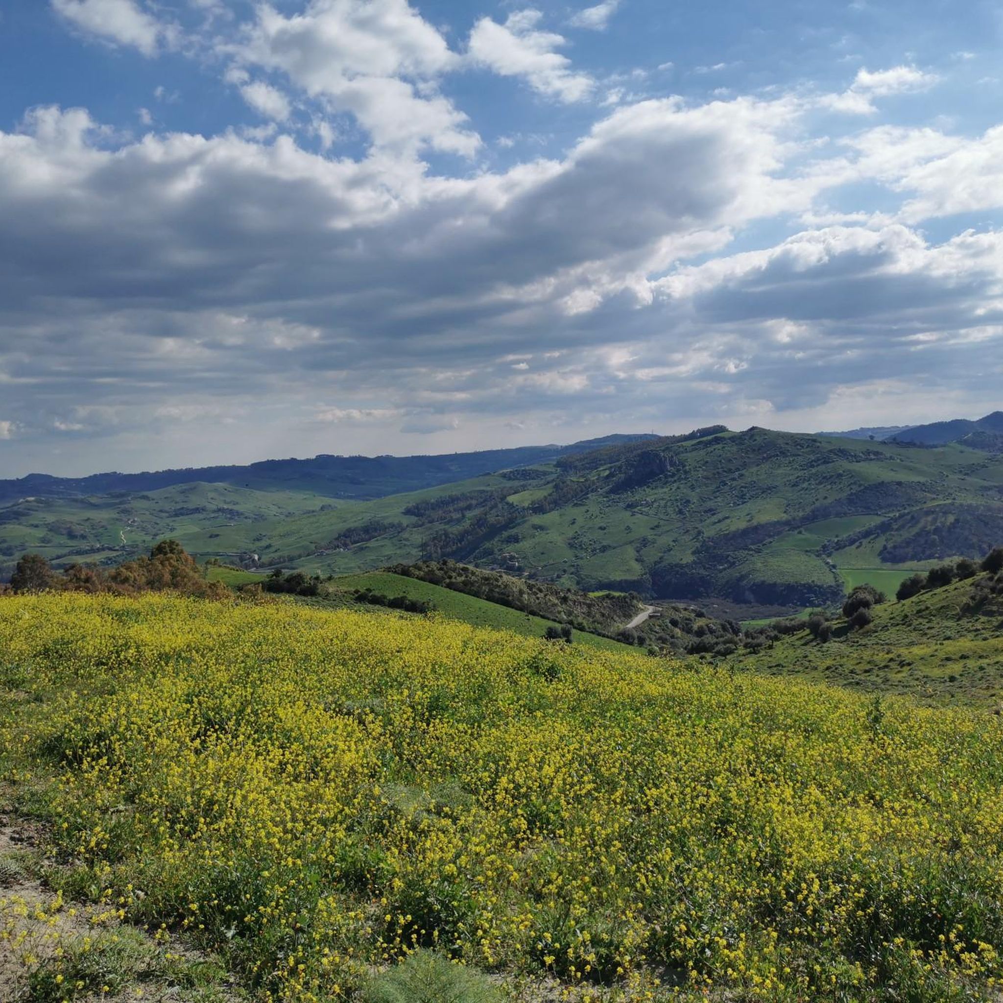
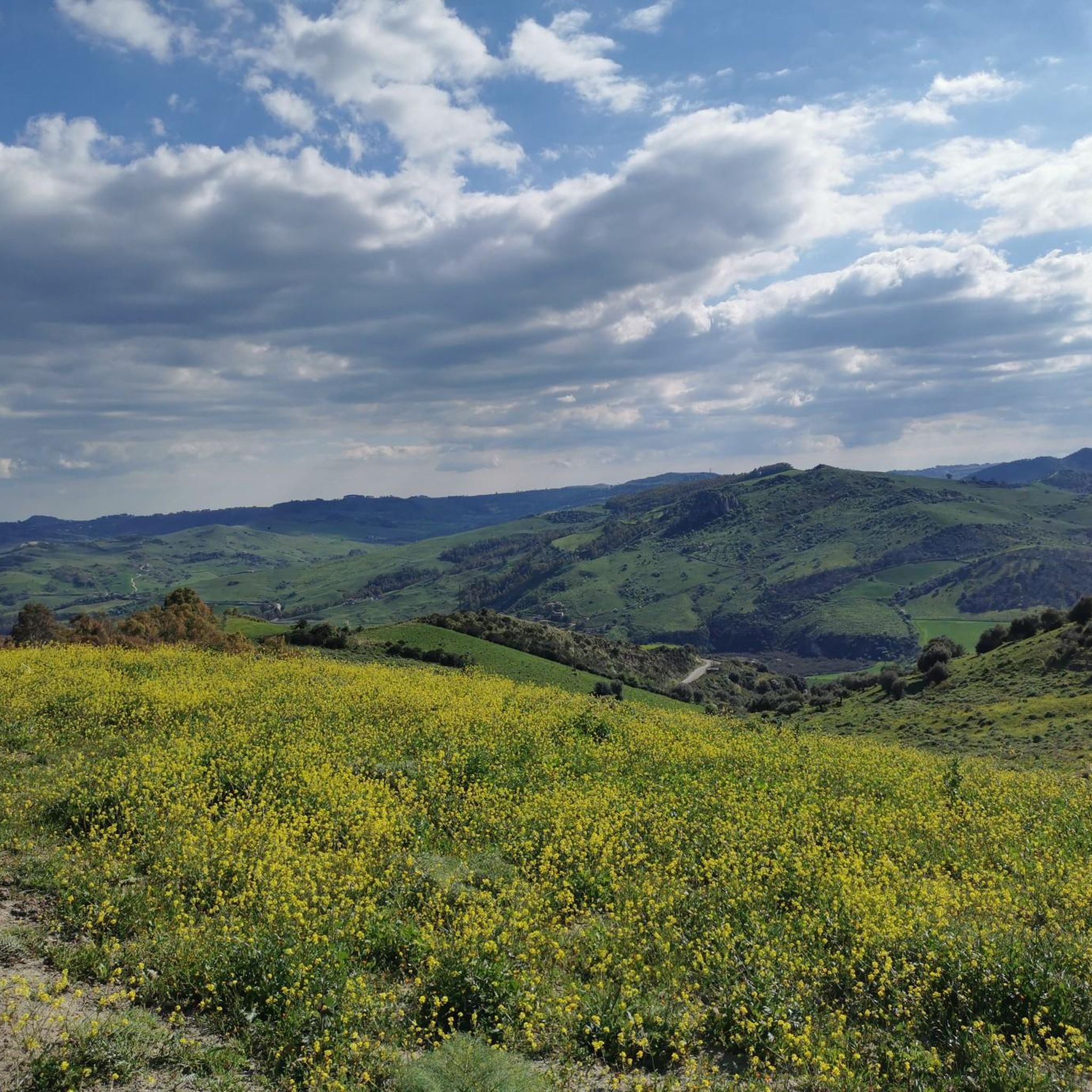
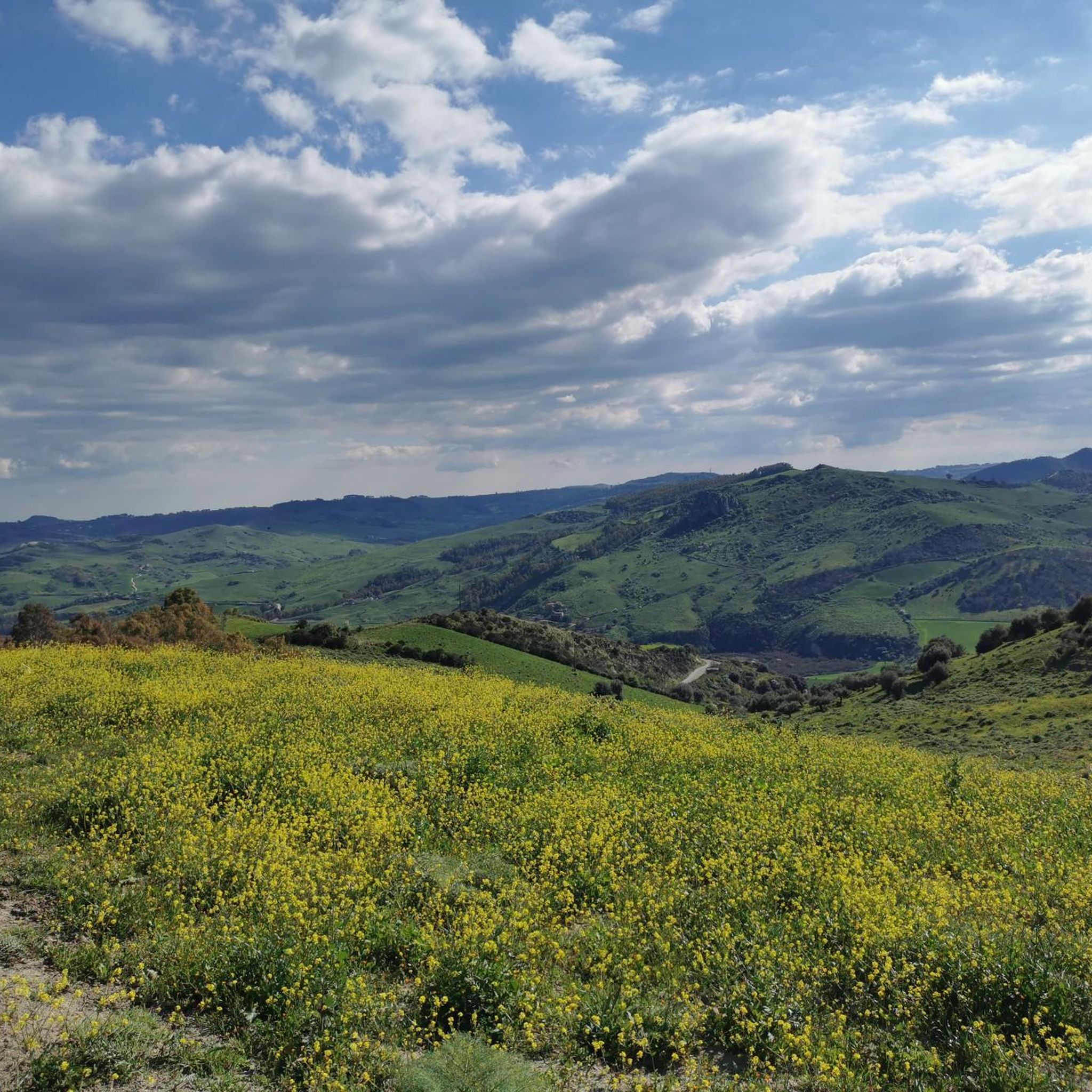
Hiking around Nissoria is characterized by varied terrain, including natural reserves and views of distant peaks. The region features rolling hills and protected landscapes, offering diverse environments for outdoor exploration. Trails often traverse through Mediterranean vegetation and provide vistas of the surrounding Sicilian countryside.
Best hiking trails around Nissoria
- The most popular hiking route is View of Mount Etna – View to the west loop from Riserva naturale orientata Monte Altesina, a 4.4 miles (7.1 km) trail that takes…
Last updated: June 24, 2026
4.2
(5)
11
hikers
Moderate hike. Good fitness required. Easily-accessible paths. Suitable for all skill levels.
3
hikers
10.9km
03:07
240m
240m
Moderate hike. Good fitness required. Easily-accessible paths. Suitable for all skill levels.

Sign up for free
5.0
(1)
5
hikers
Easy hike. Great for any fitness level. Easily-accessible paths. Suitable for all skill levels.
2
hikers
Easy hike. Great for any fitness level. Easily-accessible paths. Suitable for all skill levels.
Our route recommendations are based on thousands of hikes, rides, and runs completed by other people on komoot.
Start today with a free account
Your next adventure awaits.
Login or Signup
Popular around Nissoria
Tips from the Community

A truly impressive fountain 🤩. It's definitely worth a visit if you're in the area.
4
0

Marks the center of the village. Right next to it is the village square with some bars and the community center.
1
0
very nice details along the entrance gates!
1
0

beautiful fountains just before the center of Leonforte
0
0

Only remnant of the Convent of the Conventual Franciscan Fathers and adjoining church.
1
0
mother church with beautiful gothic bell tower
0
0
mother church with beautiful gothic bell tower. it also has a painted trussed roof, but unfortunately it is not visible as it is covered by the current vaults
1
0

The fountain known as Granfonte was built in 1652 at the behest of Prince Placido Branciforti, in the same place there was already an Arab fountain called "Fonte di Tavi". The project follows the Flemish Baroque style then very popular on the island. The fountain became the center of the community by supplying water through its twenty-four mouths. The same water supplied the fountains of the botanical garden. The drainage channel connected to the main basin was used, until recently, as a public wash house.
3
0
Frequently Asked Questions
How many hiking trails are available around Nissoria?
There are over 6 hiking trails in the Nissoria area, offering a variety of experiences for different skill levels. You'll find a mix of easy and moderate routes to explore the local landscape.
Are there easy hiking options suitable for beginners or families in Nissoria?
Yes, Nissoria offers several easy hiking trails. For instance, the Chiesa Madre of Nicosia – Portal of San Francesco Church loop from Nicosia is an easy 4.4 km (2.7 miles) route, and another easy option is the Hiking loop from Riserva naturale orientata Monte Altesina, which is 3.5 km (2.2 miles) long.
What is the typical duration for hikes around Nissoria?
Hikes in Nissoria vary in length and duration. Easy routes can take around 1 hour 30 minutes to 2 hours, while moderate trails like the View of Mount Etna – View to the west loop from Riserva naturale orientata Monte Altesina typically take about 2 hours 18 minutes. Longer moderate routes, such as the Granfonte of Leonforte loop from Leonforte, can take up to 3 hours 8 minutes.
Are there any challenging or advanced hiking routes in the Nissoria region?
The hiking trails around Nissoria are primarily categorized as easy or moderate. There are currently no routes classified as difficult, making the area more suitable for casual hikers and those looking for enjoyable, less strenuous walks.
What kind of scenery can I expect on the hiking trails near Nissoria?
The trails in Nissoria traverse varied terrain, including rolling hills, Mediterranean vegetation, and protected natural reserves. Many routes offer panoramic views of the surrounding Sicilian countryside, and some, like the View of Mount Etna – View to the west loop from Riserva naturale orientata Monte Altesina, even provide distant glimpses of Mount Etna.
Are there any circular walks available in Nissoria?
Yes, many of the hiking routes around Nissoria are circular, allowing you to start and end at the same point. Examples include the Hiking loop from Riserva naturale orientata Monte Altesina and the Granfonte of Leonforte loop from Leonforte.
What do other hikers say about the trails in Nissoria?
The hiking routes in Nissoria are highly rated by the komoot community, with an average score of 4.3 stars. Hikers often appreciate the diverse terrain, the natural beauty of the reserves, and the panoramic views available on many of the trails.
Are there any interesting landmarks or attractions to see near the hiking trails?
Yes, the Nissoria area is rich in points of interest. You can explore historical sites like the Agira Historic Center or the Sperlinga Castle and Cave Dwellings. Nature lovers might enjoy visiting Lake Pozzillo or the historic Granfonte of Leonforte.
When is the best time of year to go hiking in Nissoria?
The best time for hiking in Nissoria is typically during spring (April-May) and autumn (September-October). During these months, the weather is pleasantly mild, and the landscapes are vibrant. Summer can be very hot, while winter might bring cooler temperatures and occasional rain.
Are dogs allowed on the hiking trails in Nissoria?
While specific regulations can vary by protected area, generally, dogs are permitted on trails in Sicily, often on a leash. It's always recommended to check local signage or park regulations for specific reserves like Riserva naturale orientata Monte Altesina before heading out with your dog.
Is there parking available at the trailheads in Nissoria?
Parking availability can vary depending on the specific trailhead. For routes starting from towns or popular attractions, you can often find designated parking areas. For trails in more remote natural reserves, roadside parking might be an option. It's advisable to check the route details on komoot for specific parking information.
Are there any wild swimming spots near the hiking routes in Nissoria?
While not directly on every trail, the nearby Lake Pozzillo offers opportunities for water activities and is a popular spot for locals. It's a short drive from many of the hiking areas and could be a refreshing stop after a walk.
Most popular routes around Nissoria
Most popular attractions around Nissoria

Get inspired with the komoot mobile app


Explore more
Browse the best Hikes in other regions.
