The best mountain hikes around Ardenno
4.3
(5)
43
hikers
3
hikes
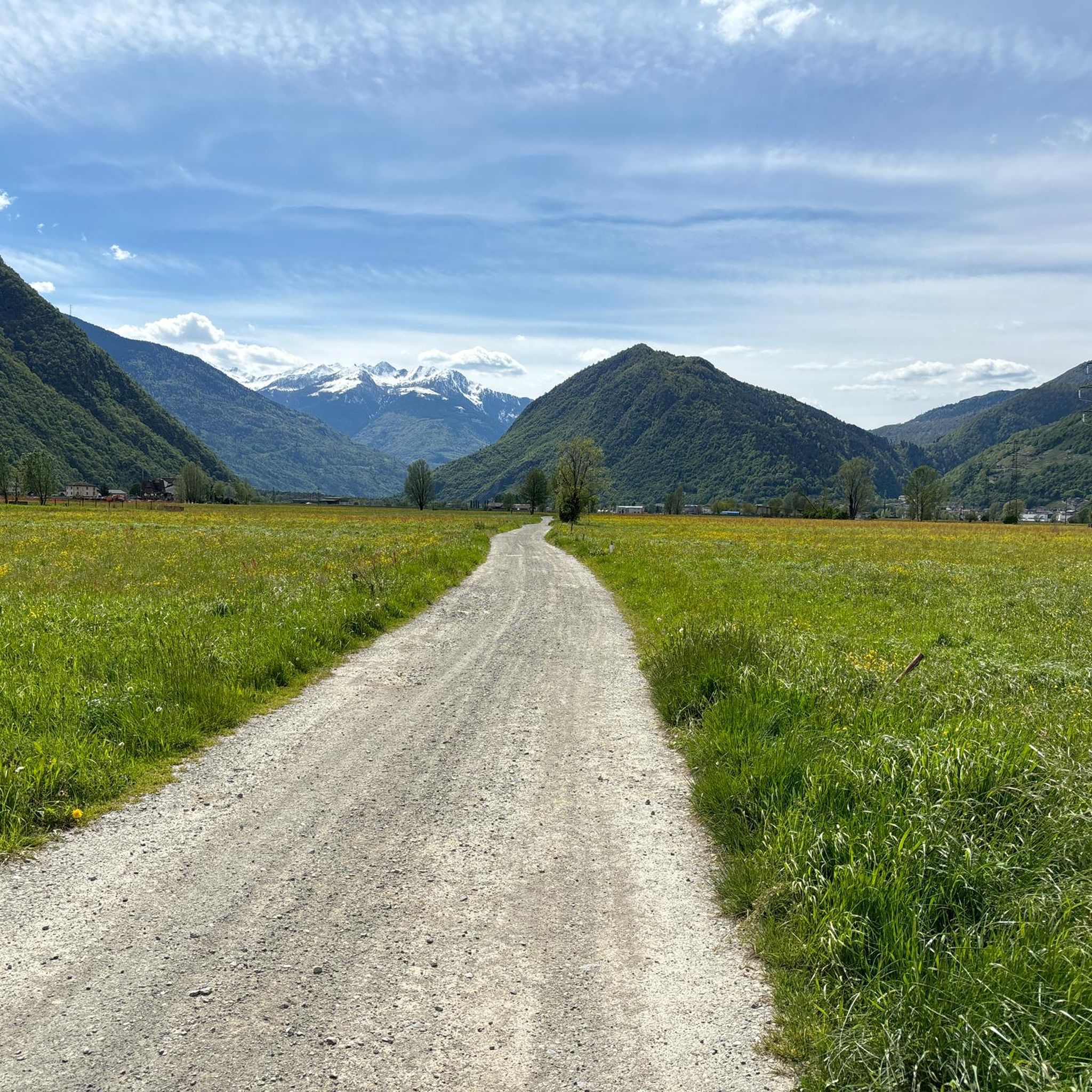
Mountaineering routes Ardenno are situated in the heart of the Valtellina, a mountainous region within the Italian Alps. This area is characterized by majestic alpine vistas, the Adda River, and the renowned Val di Mello Nature Reserve. The landscape offers diverse terrain, from high-altitude pastures like Alpe Scermendone to valleys with unique rock formations and waterways.
Best mountaineering routes around Ardenno
- The most popular mountaineering route is Cesare Ponti Hut – Monte Disgrazia (3,678 m) loop from Parcheggio Preda Rossa…
Last updated: October 11, 2026
5.0
(2)
22
hikers
16.3km
11:41
1,590m
1,590m
Hard mountaineering route. Very good fitness required. Sure-footedness, sturdy shoes and alpine experience required.
11
hikers
8.92km
03:57
610m
610m
Hard mountaineering route. Good fitness required. Sure-footedness, sturdy shoes and alpine experience required.

3.7
(3)
10
hikers
6.96km
02:04
170m
170m
Moderate mountaineering route. Good fitness required. Mostly accessible paths. Sure-footedness required.
Our route recommendations are based on thousands of hikes, rides, and runs completed by other people on komoot.
Start today with a free account
Your next adventure awaits.
Tips from the Community

Rifugio Luna Nascente https://youtu.be/HAschMaAGKg
5
1

Iconic mountain of Valtellina, majestic and beautiful!
3
0
Beautiful route of about 600 meters of positive difference in altitude between the 1950 meters of the Piana di Preda Rossa up to the 2560 meters of the Rifugio Cesare Ponti. The high mountain environment is enriched by the beauty of the Preda Rossa valley, by its milky and slow torrent, by the frame of the Corni Bruciati, up to the majestic mass of the Disgrazia, which dominates and watches over the path. An enchanting place!
3
0
Legendary refuge at the foot of Mount Disgrazia. It is located along the Roma trail and is a passage point of the Kima Trophy. In short, an exceptional place for mountain lovers.
3
0
Looking out over the Piana di Preda Rossa for the first time is an experience you never forget: a place that goes beyond normal daily experience and therefore enchants and requires time to be understood. The overhanging mass of Monte Disgrazia makes the scene simply perfect.
2
0
An epic break during the long normal route of Disgrazia. It is here that you emerge onto the ridge profile and can admire the spectacle of the north face and the view of Valmalenco, up to the Bernina. Unforgettable
3
0

The Torrente Mello is the main watercourse that crosses the Val di Mello, one of the most suggestive valleys of Valtellina. This torrent originates from Monte Disgrazia and flows along the entire valley, fed by numerous streams and natural springs from the surrounding mountains. The Torrente Mello is characterized by crystalline waters that flow between the imposing granite rocks and the lush vegetation, creating natural scenery of rare beauty. Along its course, the torrent feeds several lakes, such as the Laghetto del Qualido, and also feeds numerous waterfalls and pools, which make the valley even more fascinating and appreciated by hikers. The path of the Torrente Mello is clearly visible along the paths that start from the village of San Martino, which is the main starting point for exploring the valley. The path that follows the course of the torrent allows you to enjoy spectacular views of the surrounding nature and access places of great naturalistic interest, making it an ideal destination for lovers of trekking and photography.
0
0
Rifugio Mello is located in the beautiful Val di Mello, one of the most well-known and appreciated valleys of Valtellina, famous for its breathtaking landscapes, imposing mountains and its crystalline lakes. The refuge is located at about 1,350 meters above sea level and is a point of reference for hikers who visit the area. Rifugio Mello is easily accessible thanks to the paths that start from the village of San Martino, in the heart of Val di Mello. The route to reach the refuge is suitable for hikers of all levels, with a walk that lasts about 1.5-2 hours, crossing larch and fir forests, offering spectacular panoramic views of the valley and the surrounding mountains. Once arrived, the refuge offers a welcoming rest area, where hikers can refresh themselves with typical Valtellina dishes, such as pizzoccheri, sciatt and local cheeses, but also enjoy an incredible view of Val di Mello and the peaks that surround it, including Monte Disgrazia. Rifugio Mello is also a starting point for numerous hikes, including those leading to Laghetto del Qualido or Cascata della Val di Mello, as well as an ideal place for a quiet stop during a longer hike. It is recommended in all seasons, but especially in spring and autumn, when the landscape is particularly fascinating thanks to the colors of nature.
2
0
Frequently Asked Questions
How many mountaineering routes are available around Ardenno?
There are over 5 dedicated mountaineering routes around Ardenno, ranging from moderate to difficult. This includes challenging ascents and scenic loops through the alpine landscape.
Are there routes suitable for different skill levels?
Yes, Ardenno offers a variety of mountaineering routes. While most are considered difficult, there is at least one moderate route, such as the Val di Mello River – Mello Stream loop from Val Masino, which is a great option for those looking for a less strenuous experience in the Val di Mello Nature Reserve.
What natural attractions can I see along mountaineering routes in Ardenno?
Many routes traverse the stunning Val di Mello Nature Reserve, often referred to as the 'little Italian Yosemite'. You can encounter features like the Mello Stream, the crystalline Qualido Pond, and the famous Bidet della Contessa natural pool. The region also features impressive waterfalls, particularly along the Val di Mello River.
Are there any circular mountaineering routes around Ardenno?
Yes, several routes are designed as loops, allowing you to start and end at the same point. A notable challenging option is the Cesare Ponti Hut – Monte Disgrazia (3,678 m) loop from Parcheggio Preda Rossa. For a different experience, consider the Val di Mello River – Laghetto del Qualido loop from Val Masino, which explores the Val di Mello Nature Reserve.
What do other mountaineers say about the routes in Ardenno?
The mountaineering routes around Ardenno are highly rated by the komoot community, with an average score of 4.89 stars from over 6 reviews. Mountaineers often praise the dramatic alpine settings, the unique beauty of the Val di Mello Nature Reserve, and the extensive network of trails that cater to various experiences.
When is the best time of year for mountaineering in Ardenno?
The best time for mountaineering in Ardenno, given its alpine setting, is typically during the warmer months, from late spring to early autumn (June to September). During this period, trails are generally free of snow, and weather conditions are more stable, making high-altitude routes more accessible. Always check local weather forecasts and trail conditions before heading out.
Are there family-friendly mountaineering routes in Ardenno?
While many mountaineering routes in Ardenno are challenging, the Val di Mello Nature Reserve, a key area for these routes, offers numerous hiking trails for all levels. For families, it's advisable to look for shorter, less strenuous paths within the reserve, such as the Val di Mello River – Mello Stream loop from Val Masino, which is a moderate option. Always assess the difficulty and elevation gain to ensure it's suitable for all family members.
Can I bring my dog on mountaineering routes in Ardenno?
The Val di Mello Nature Reserve, where many of these routes are located, is a protected area. While general hiking trails might be dog-friendly, specific regulations can apply to mountaineering routes or within certain sensitive areas of the reserve. It's always best to check local signage or contact the Val di Mello Nature Reserve authorities directly for the most current rules regarding dogs on specific trails.
What are the parking options for mountaineering routes in Ardenno?
For routes starting near Val Masino or Preda Rossa, designated parking areas are available. For example, the challenging Cesare Ponti Hut loop begins from Preda Rossa, where parking facilities are typically provided. In Val Masino and Val di Mello, parking regulations and availability can vary, especially during peak season, so it's advisable to plan ahead.
Is public transport available to reach the trailheads?
Public transport options to reach trailheads in mountainous regions like Ardenno and Val Masino can be limited. While there might be bus services to larger towns in the Valtellina valley, reaching specific, more remote trailheads often requires a car. It's recommended to research local bus schedules or consider carpooling if you plan to rely on public transport.
Are there any mountain huts or cafes along the routes for refreshments?
Yes, some mountaineering routes, particularly those leading to higher altitudes, feature mountain huts. For instance, the Cesare Ponti Hut – Monte Disgrazia loop involves the Cesare Ponti Hut, which provides a place for rest and refreshments. Within the Val di Mello Nature Reserve, you might find smaller cafes or refuges, especially in areas like Cascina Piana, offering local products and a chance to refuel.
What makes the Val di Mello Nature Reserve special for mountaineering?
The Val di Mello Nature Reserve is a naturalistic treasure known for its unique rock formations, pristine streams, and breathtaking views. It offers a diverse landscape for mountaineers, from challenging ascents to scenic paths alongside the Val di Mello River and its waterfalls. Its designation as a reserve ensures a preserved environment, making it a truly immersive alpine experience.
Are there any other notable viewpoints or natural monuments nearby?
Beyond the Val di Mello, the region boasts other impressive natural features. The Alpe Scermendone, located over 2,100 meters, offers panoramic views across the entire Valtellina. You can also explore the fascinating Erosion Pyramids of Postalesio, a unique geological formation not far from Ardenno.
Most popular routes around Ardenno
Most popular attractions around Ardenno

Get inspired with the komoot mobile app


Explore more
Browse the best Mountain Hikes & Routes in other regions.
