The best mountain hikes around Bovegno
3.9
(8)
46
hikers
3
hikes
Mountaineering routes Bovegno are characterized by the rugged terrain of the upper Val Trompia, featuring some of the highest mountains in the valley. The region is dominated by significant peaks such as Monte Guglielmo, Monte Muffetto, and Monte Crestoso, offering diverse high-altitude trekking opportunities. Verdant plateaus like Caregno and extensive pine forests also contribute to the varied landscape, providing a challenging environment for mountaineers.
Best mountaineering routes around Bovegno
- The most popular mountaineering route is Via Ferrata Caspai – Notable…
Last updated: July 8, 2026
4.7
(6)
15
hikers
4.27km
02:10
420m
410m
Hard mountaineering route. Good fitness required. Sure-footedness, sturdy shoes and alpine experience required.
3.0
(1)
16
hikers
Moderate mountaineering route. Good fitness required. Mostly accessible paths. Sure-footedness required.

Sign up for free
10
hikers
11.7km
05:22
820m
820m
Hard mountaineering route. Very good fitness required. Sure-footedness, sturdy shoes and alpine experience required.
4.0
(1)
5
hikers
8.40km
04:12
750m
750m
Hard mountaineering route. Good fitness required. Sure-footedness, sturdy shoes and alpine experience required.
Our route recommendations are based on thousands of hikes, rides, and runs completed by other people on komoot.
Start today with a free account
Your next adventure awaits.
Login or Signup

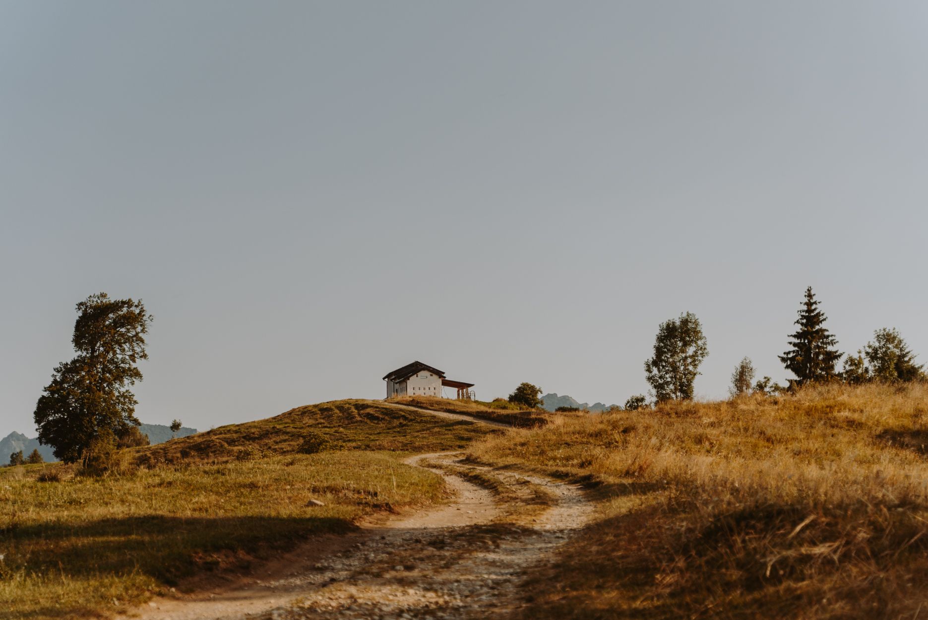
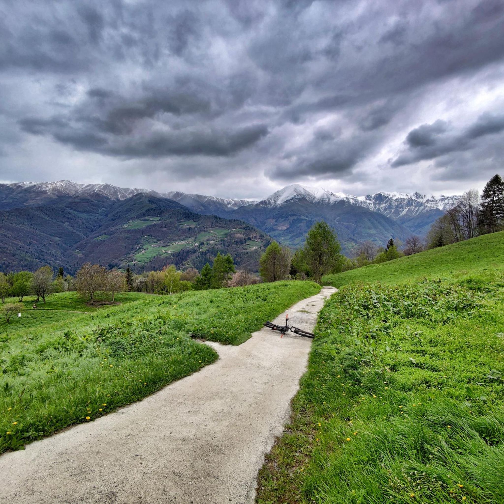
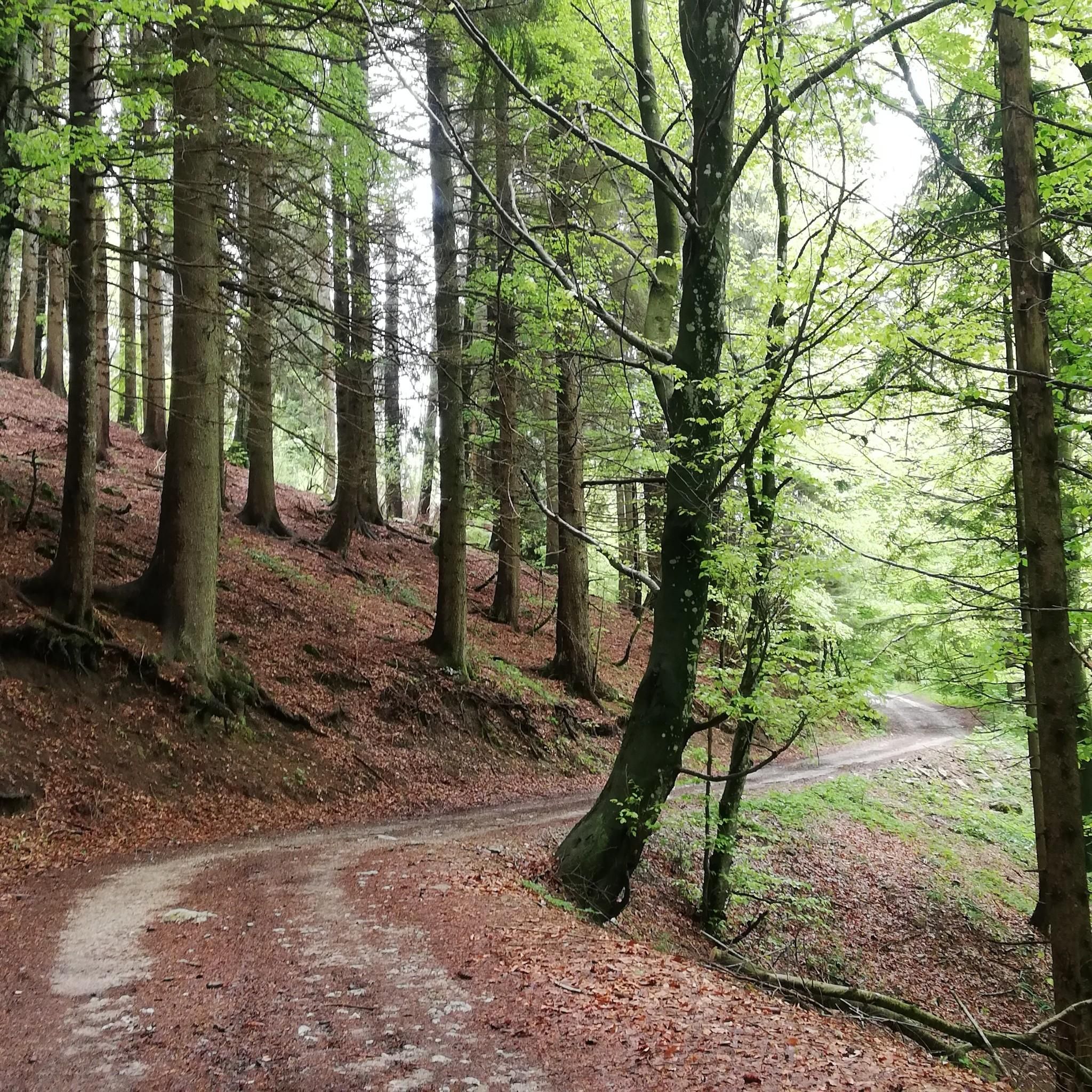


Tips from the Community

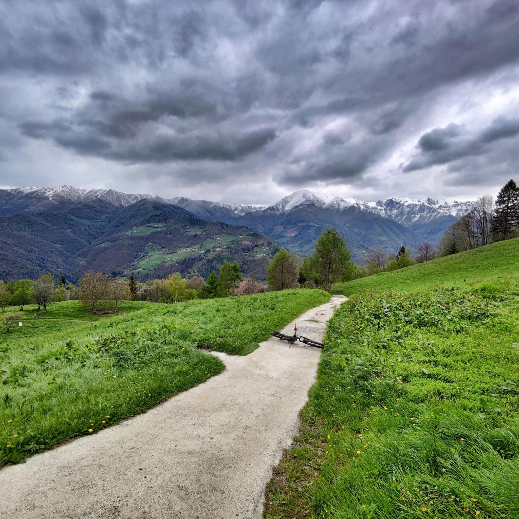
Beautiful tour with e-bike, with little portage below the 7 crocette and below the Tita Secchi (old refuge) to go to Pezzeda. Pay attention at the fork for Passo Croce, the path is barely visible. Shortly before reaching the pass, take the path to the right (which I missed) thus avoiding carrying the bike down the rocks.
0
0

Great refuge even if it's practically on the access road, let's say not exactly typical for hikers
0
0

The Rifugio C. Tassara (Bazena) is the classic starting point for reaching Val Fredda, Passo della Vacca, Lago della Vacca, and Rifugio Tita Secchi. It is a fundamental reference point for the entire eastern Adamello area.
0
0

Breathtaking panorama, with a sunny day it's fantastic!
0
0

Very nicely laid out via ferrata, but not necessarily suitable for beginners, difficulty D, already vertical at the start, slightly overhanging.
0
0

An excellent restaurant for enjoying typical Brescian mountain cuisine: homemade gnocchi with porcini mushrooms, pasta with Bagoss cheese, venison stew, casoncelli alla bresciana, and much more. E-bike rentals are available at the restaurant's adjacent facility (E-bike Dosso Alto). You can also charge your e-bike during lunch or coffee. (I recharged my legs instead.)
1
0

Beautiful via ferrata of medium difficulty. Even where there are no artificial holds, the rock usually offers nice pockets. I honestly preferred to do it with climbing shoes since it develops entirely vertically.
0
0

difficult path with last part on the crest and steep descent with 3 passage points with very exposed chain
1
1
Frequently Asked Questions
What kind of mountaineering routes can I find around Bovegno?
Bovegno, nestled in the upper Val Trompia, offers a diverse range of mountaineering routes. You'll find trails leading to significant peaks like Monte Guglielmo, Monte Muffetto, and Monte Crestoso, as well as routes through verdant plateaus and extensive pine forests. The area provides options for various ability levels, from moderate ascents to challenging high-altitude treks.
Are there any easy mountaineering routes suitable for beginners in Bovegno?
While Bovegno is known for its challenging terrain, there are moderate routes that can be suitable for beginners with a good level of fitness. For instance, the View of Dosso dei Galli, NATO antennas – Maniva Pass loop from Giogo del Maniva is a moderate 10.1 km route offering scenic views without extreme technical difficulty. Always check the route details and your own fitness before setting out.
What are some of the most challenging mountaineering routes in the Bovegno area?
For experienced mountaineers seeking a challenge, Bovegno offers routes with significant elevation gain and technical sections. The Via Ferrata Caspai – Notable section loop from Lodrino is a difficult 4.3 km route that includes technical ascents. Another demanding option is the Monte Frerone loop from Passo di Crocedomini, a difficult 11.5 km trail through high mountain terrain.
Are there any circular mountaineering routes around Bovegno?
Yes, many of the mountaineering routes in Bovegno are designed as loops, allowing you to start and finish at the same point. Examples include the moderate Punta Caravina – Monte Guglielmo loop from Catena Bresciana Occidentale and the challenging Monte Frerone loop from Passo di Crocedomini.
What kind of natural landmarks or viewpoints can I expect to see on these routes?
The Bovegno region is rich in natural beauty and offers spectacular panoramic views. You can expect to see majestic mountains like Monte Guglielmo and Monte Muffetto, which provide vistas stretching from the Adamello massif to Lake Garda. The Caregno Plateau offers verdant expanses, while the nearby 'Camini delle Fate' (Fairies' Chimneys) near Zone are unique geological formations worth exploring. You might also encounter the Pisot Waterfall or the dramatic Valle della Berga.
Are there any mountain huts or refuges along the mountaineering trails in Val Trompia?
Yes, the Val Trompia region is well-equipped with mountain huts and refuges that are crucial for mountaineers. Notable examples include Rifugio Almici on Monte Guglielmo, Rifugio Piardi at San Zeno Pass, and CAI Val Trompia Refuge in Pontogna. These often provide essential rest stops, catering, and accommodation, making longer treks more feasible.
What do other mountaineers say about the routes in Bovegno?
The mountaineering routes around Bovegno are highly regarded by the komoot community, with an average score of 4.9 stars from more than 10 reviews. Users often praise the challenging yet rewarding ascents, the stunning panoramic views from peaks like Monte Guglielmo, and the well-maintained trails that lead through diverse landscapes.
Can I find routes that are suitable for families with children?
While many routes are geared towards experienced mountaineers, the broader Val Trompia area offers a variety of hiking opportunities. For families, consider exploring the verdant plateaus or forest trails, which might offer gentler terrain. The Parco delle Fucine di Casto also offers a mix of nature and activities that could be suitable for a family outing.
Are there any dog-friendly mountaineering routes in Bovegno?
Many trails in the Bovegno region are generally dog-friendly, allowing you to enjoy the mountains with your canine companion. However, always ensure your dog is fit for the chosen route's difficulty and distance, and be mindful of local regulations, especially in nature reserves or near livestock. It's always best to keep dogs on a leash for their safety and that of wildlife.
What is the best time of year for mountaineering in Bovegno?
The best time for mountaineering in Bovegno is typically from late spring through early autumn (May to October) when the weather is more stable and the trails are clear of snow. During winter, some itineraries, especially at higher altitudes, can be traversed on skis or snowshoes, offering a different kind of challenge for experienced winter mountaineers.
Are there options for public transport to reach the trailheads around Bovegno?
While specific public transport options directly to every trailhead might be limited, Bovegno itself is accessible. The Mella bike path runs from Brescia to Bovegno, offering a scenic approach. For reaching specific mountain passes or remote starting points, a car is often the most convenient option, but local bus services may connect to larger villages from which you can start your ascent.
Where can I find information about parking near mountaineering trails in Bovegno?
Parking availability varies by trailhead. Many popular starting points, especially near mountain passes like Passo di Crocedomini or areas like Catena Bresciana Occidentale, often have designated parking areas. It's advisable to check specific route descriptions or local tourist information for details on parking facilities at your chosen starting point.
Most popular routes around Bovegno
Most popular attractions around Bovegno

Get inspired with the komoot mobile app


Explore more
Browse the best Mountain Hikes & Routes in other regions.
