The best mountain hikes around Ubiale Clanezzo
4.5
(2)
57
hikers
5
hikes
Mountaineering routes around Ubiale Clanezzo traverse a landscape characterized by significant elevation changes, offering challenging ascents and descents. The region, situated in the Bergamo province, features a mix of forested slopes, rocky outcrops, and panoramic mountain views. These trails often lead to prominent peaks and through varied terrain typical of the Prealps.
Best mountaineering routes around Ubiale Clanezzo
- The most popular mountaineering route is Start of Ferrata San Nicolò loop from San Pellegrino Terme, a 3.4 miles (5.4 km)…
Last updated: June 24, 2026
4.5
(2)
28
hikers
5.42km
02:25
290m
290m
Hard mountaineering route. Good fitness required. Sure-footedness, sturdy shoes and alpine experience required.
11
hikers
6.20km
02:38
490m
490m
Hard mountaineering route. Good fitness required. Sure-footedness, sturdy shoes and alpine experience required.

Sign up for free
6
hikers
15.8km
06:06
1,060m
1,060m
Hard mountaineering route. Very good fitness required. Sure-footedness, sturdy shoes and alpine experience required.
5
hikers
17.4km
06:09
830m
830m
Hard mountaineering route. Very good fitness required. Sure-footedness, sturdy shoes and alpine experience required.
3
hikers
14.6km
05:41
820m
820m
Hard mountaineering route. Very good fitness required. Sure-footedness, sturdy shoes and alpine experience required.
Our route recommendations are based on thousands of hikes, rides, and runs completed by other people on komoot.
Start today with a free account
Your next adventure awaits.
Login or Signup
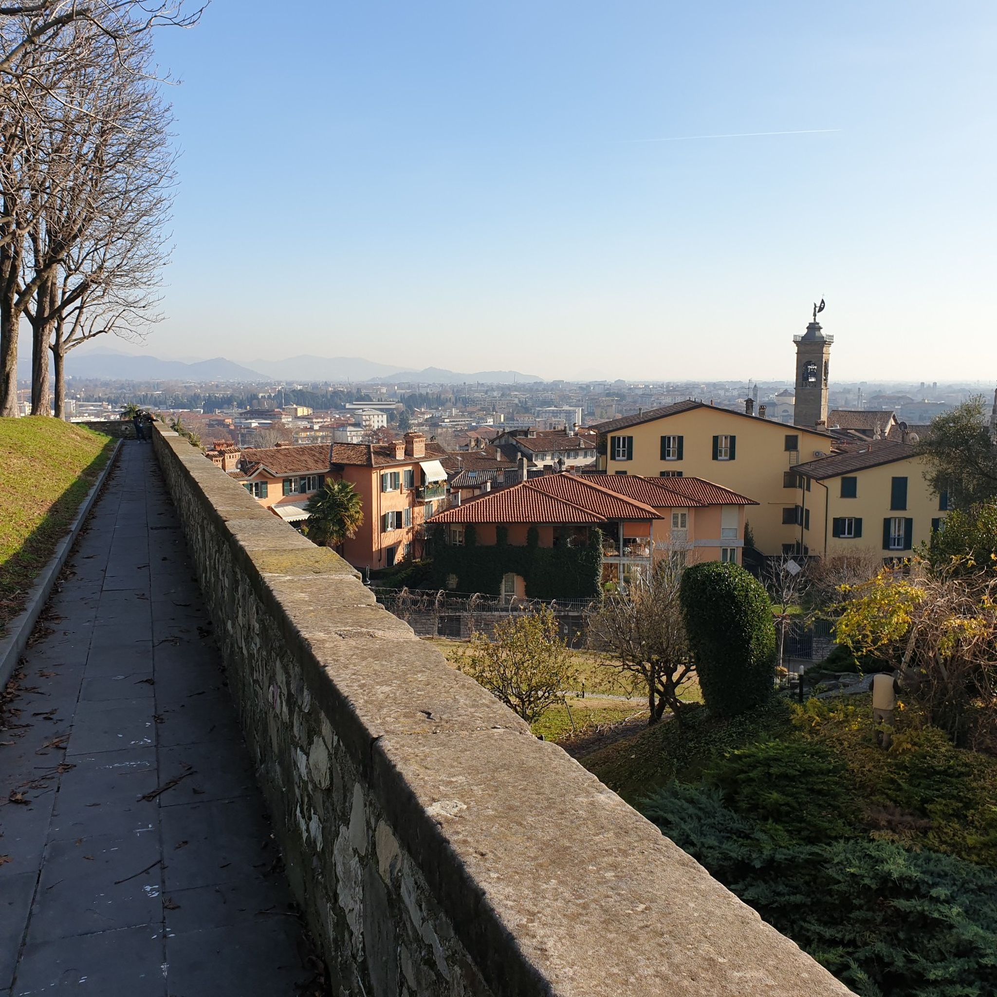
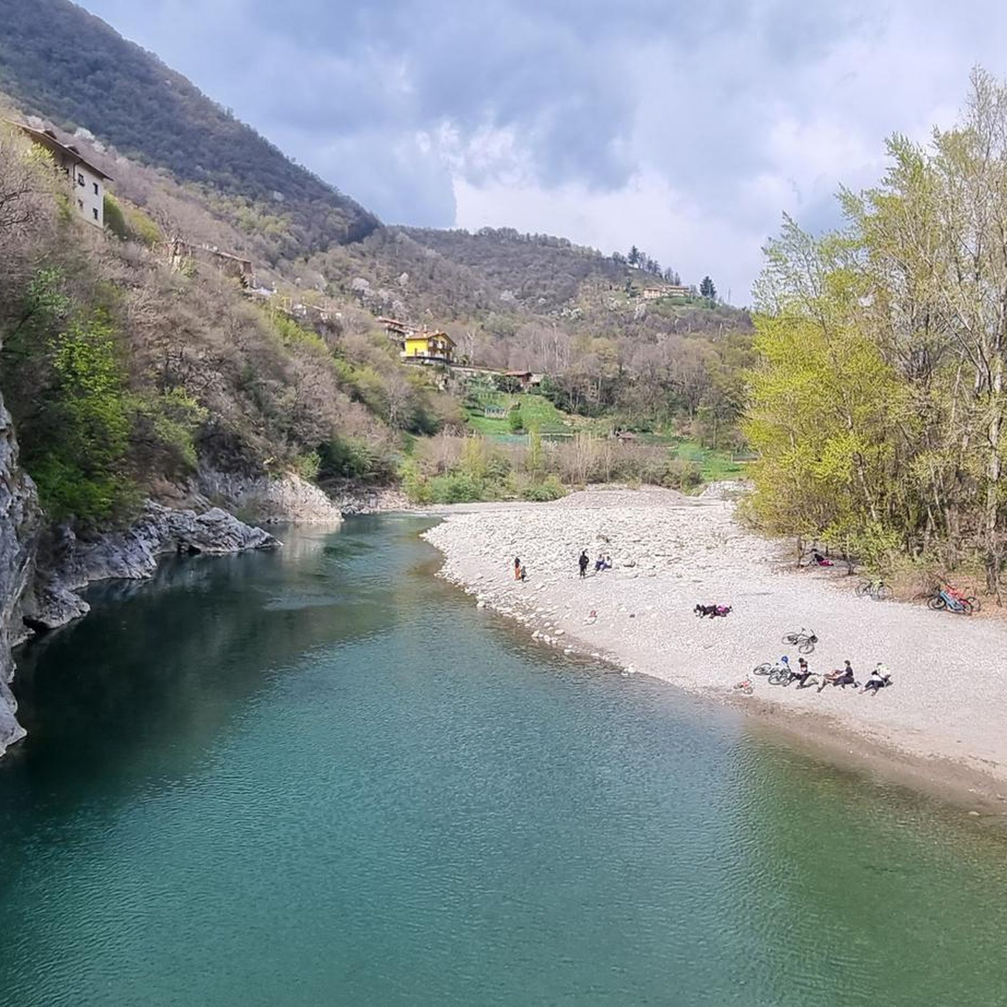
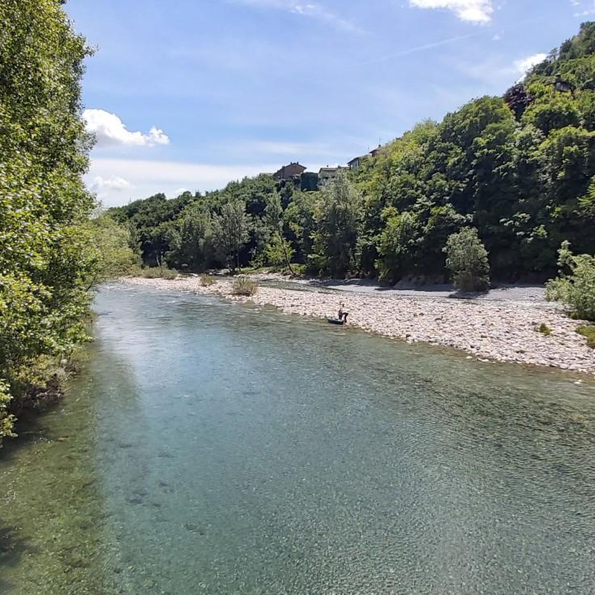
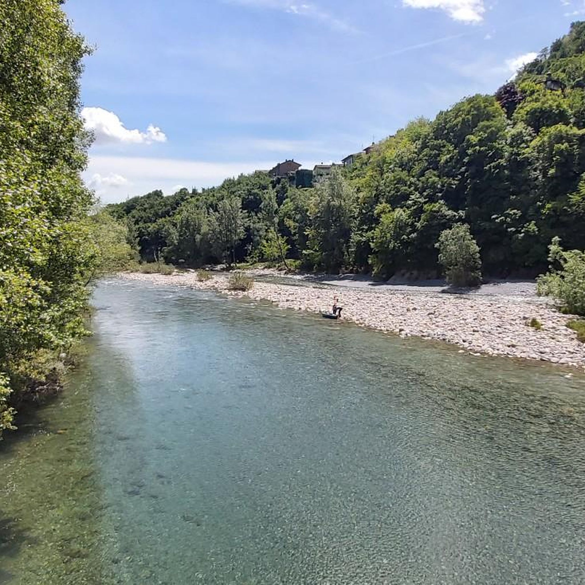

Tips from the Community

nice cave, about ten meters long, beautiful concretions.
0
0

from the summit of Linzone 360° view
0
1

Stunning view of both the Imagna Valley and the Lecco area
0
0
From the ice cream shop/restaurant, you can access one of the most fun (and technical) trails in the area, the Agostini. It takes its name from the Bergamo motorcyclist champion, as at the end of the trail, on the right, you can see the racer's villa.
0
0
sanctuary church of Nazareth, from here take the path with yellow and blue markings
0
1

The most interesting thing about word games may be that they make people want to learn more about language and find new things. https://wordgames.gg
0
0

summit with 360-degree view
0
0
The summit of Monte Tesoro offers a fantastic view of Lecco, Milan, and Lake Como. The summit is easily reached by parking at the Pertus lake.
0
0
Frequently Asked Questions
How many mountaineering routes are there in Ubiale Clanezzo?
There are 6 dedicated mountaineering routes around Ubiale Clanezzo featured in this guide. These routes are known for their challenging ascents and varied terrain, typical of the Bergamo Prealps.
How difficult are the mountaineering routes around Ubiale Clanezzo?
The mountaineering routes in Ubiale Clanezzo are generally considered difficult. They involve significant elevation changes, rocky sections, and some, like the Start of Ferrata San Nicolò loop from San Pellegrino Terme, include technical sections such as via ferrata. These trails are best suited for experienced mountaineers.
Are there any beginner-friendly mountaineering routes in Ubiale Clanezzo?
The mountaineering routes highlighted in this guide around Ubiale Clanezzo are all rated as difficult. They are designed for experienced mountaineers seeking challenging ascents and technical terrain. There are no beginner-friendly options among these specific routes.
What is the typical duration for mountaineering routes in Ubiale Clanezzo?
The duration for mountaineering routes in Ubiale Clanezzo varies depending on the specific trail and your pace. For example, the Monte Linzone loop from Roncola typically takes around 2 hours 36 minutes, while the longer Monte Linzone loop from Almenno San Salvatore can take over 6 hours.
When is the best time of year to go mountaineering in Ubiale Clanezzo?
The best time for mountaineering in Ubiale Clanezzo is typically from late spring through early autumn (May to October). During these months, the weather is generally more stable, and trails are free of snow at lower to mid-altitudes. Always check local weather forecasts and trail conditions before heading out, especially in shoulder seasons.
Are there circular mountaineering routes available in Ubiale Clanezzo?
Yes, many of the mountaineering routes in Ubiale Clanezzo are circular. Examples include the Canto Alto – Pisgiù loop from Sorisole and the Campanua – Canto Alto loop from Torre Boldone, allowing you to start and finish at the same point without needing a return trip.
What interesting sights can I explore near the mountaineering trails?
Beyond the trails themselves, the Ubiale Clanezzo area offers several points of interest. You can explore natural features like the Pertüs Pond or the dramatic Orrido della Val Taleggio gorge. Historical and religious sites such as the Monte di Nese Sanctuary also provide cultural insights into the region.
What do other mountaineers say about the routes in Ubiale Clanezzo?
The mountaineering routes in Ubiale Clanezzo are highly rated by the komoot community, with an average score of 4.5 stars. Mountaineers often praise the challenging nature of the trails, the rewarding panoramic views from peaks like Monte Linzone, and the diverse terrain that includes both forested sections and rocky outcrops.
What gear and clothing are recommended for mountaineering in Ubiale Clanezzo?
Given the difficult nature of these routes, sturdy mountaineering boots with good ankle support are essential. Layered clothing suitable for varying mountain weather, waterproof and windproof outer layers, a helmet (especially for routes with via ferrata sections), gloves, and sufficient water and snacks are highly recommended. Trekking poles can also be beneficial on steep ascents and descents.
Is parking available near the mountaineering routes in Ubiale Clanezzo?
Parking availability can vary by trailhead. For routes starting from towns like San Pellegrino Terme, Roncola, Sorisole, Almenno San Salvatore, or Torre Boldone, you can typically find public parking areas. It's advisable to check specific starting points for designated parking facilities or street parking options before your trip.
Are the mountaineering routes around Ubiale Clanezzo suitable for families?
Due to their difficult grading, significant elevation changes, and in some cases, technical sections like via ferrata, the mountaineering routes around Ubiale Clanezzo are generally not suitable for families with young children or those seeking easy walks. These trails are best enjoyed by experienced adults.
Most popular routes around Ubiale Clanezzo
Most popular attractions around Ubiale Clanezzo

Get inspired with the komoot mobile app


Explore more
Browse the best Mountain Hikes & Routes in other regions.
