The best mountain hikes around Ponteranica
4.5
(2)
57
hikers
5
hikes
Mountaineering routes around Ponteranica are situated within the Bergamasque Alps, offering access to rugged mountainous terrain and deep valleys. The region is characterized by notable peaks, including Monte Ponteranica, and features picturesque alpine lakes nestled in basins. These routes traverse diverse landscapes, from high alpine environments to areas within the Parco dei Colli di Bergamo.
Best mountaineering routes around Ponteranica
- The most popular mountaineering route is Monte Linzone loop from Roncola, a 3.8 miles (6.1 km) trail that takes…
Last updated: July 8, 2026
11
hikers
6.20km
02:38
490m
490m
Hard mountaineering route. Good fitness required. Sure-footedness, sturdy shoes and alpine experience required.
6
hikers
15.8km
06:06
1,060m
1,060m
Hard mountaineering route. Very good fitness required. Sure-footedness, sturdy shoes and alpine experience required.

Sign up for free
5
hikers
17.4km
06:09
830m
830m
Hard mountaineering route. Very good fitness required. Sure-footedness, sturdy shoes and alpine experience required.
3
hikers
14.6km
05:41
820m
820m
Hard mountaineering route. Very good fitness required. Sure-footedness, sturdy shoes and alpine experience required.
4
hikers
7.51km
03:03
480m
480m
Hard mountaineering route. Good fitness required. Sure-footedness, sturdy shoes and alpine experience required.
Our route recommendations are based on thousands of hikes, rides, and runs completed by other people on komoot.
Start today with a free account
Your next adventure awaits.
Login or Signup
Tips from the Community

nice cave, about ten meters long, beautiful concretions.
0
0

from the summit of Linzone 360° view
0
1

Stunning view of both the Imagna Valley and the Lecco area
0
0
From the ice cream shop/restaurant, you can access one of the most fun (and technical) trails in the area, the Agostini. It takes its name from the Bergamo motorcyclist champion, as at the end of the trail, on the right, you can see the racer's villa.
0
0
sanctuary church of Nazareth, from here take the path with yellow and blue markings
0
1
Salmezza path increasingly eroded and ruined
1
0

The most interesting thing about word games may be that they make people want to learn more about language and find new things. https://wordgames.gg
0
0

summit with 360-degree view
0
0
Frequently Asked Questions
How challenging are the mountaineering routes around Ponteranica?
The mountaineering routes in this area are generally considered difficult. For example, the Monte Linzone loop from Roncola involves significant elevation gain, and routes like the Canto Alto – Pisgiù loop from Sorisole feature sustained ascents through varied mountain terrain. They are best suited for experienced mountaineers with good fitness and sure-footedness.
What natural features and landmarks can I expect to see on these routes?
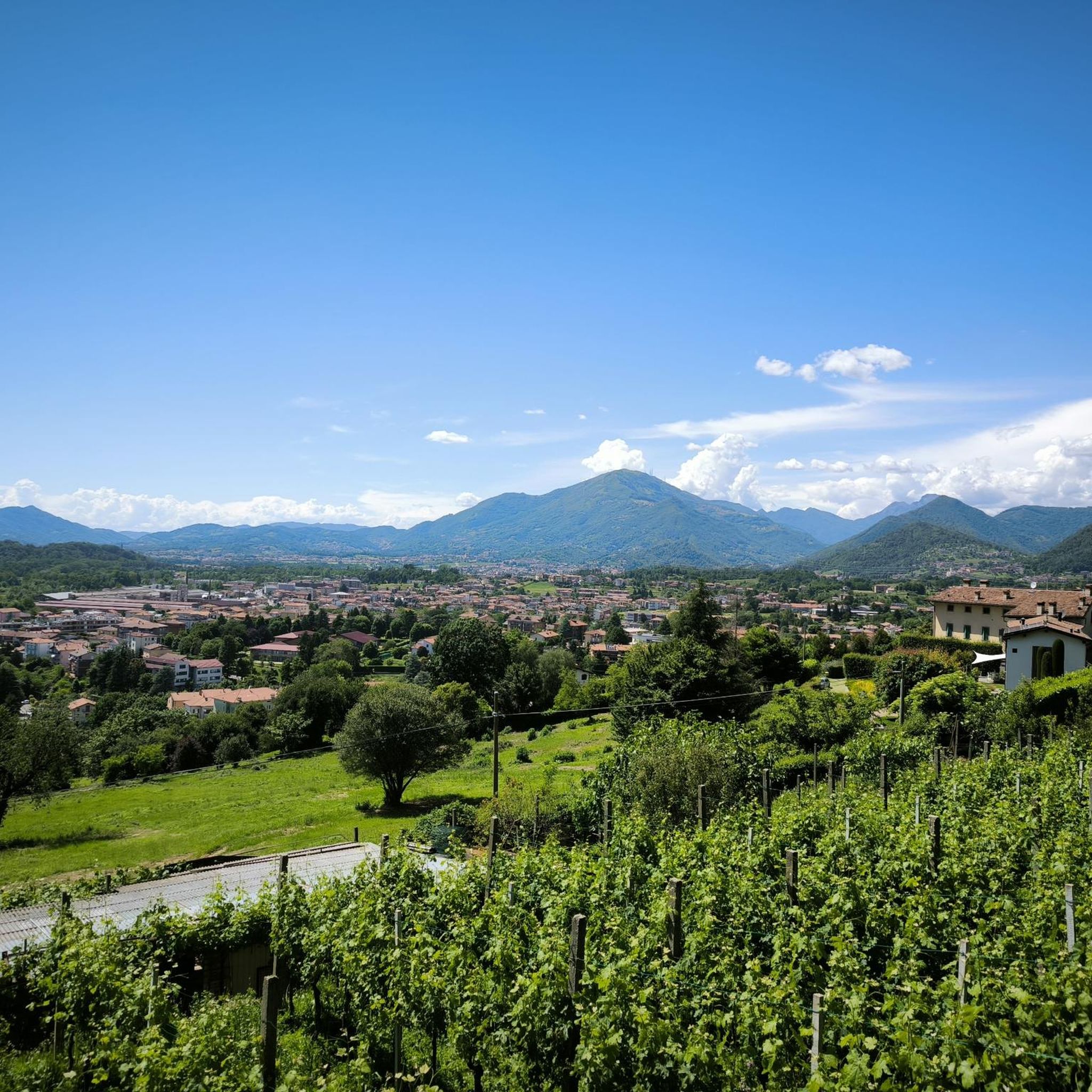
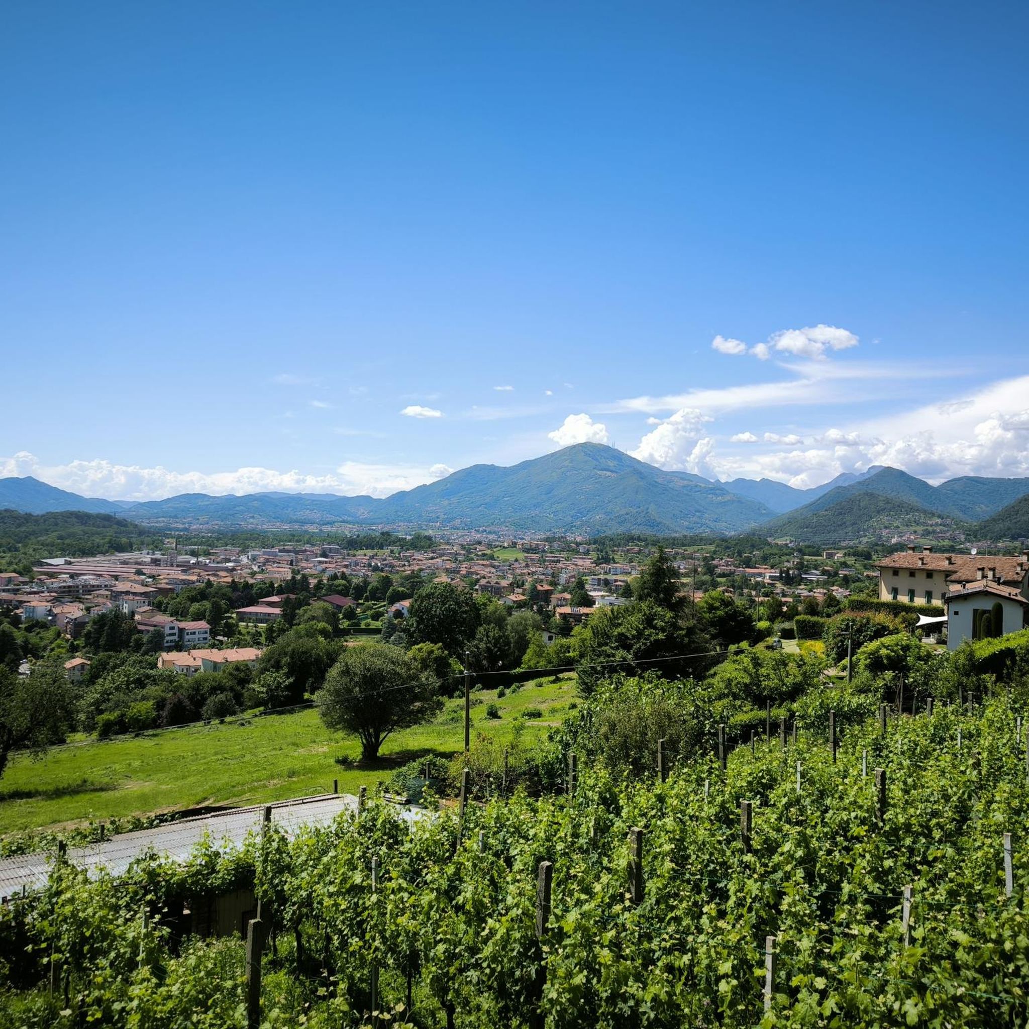
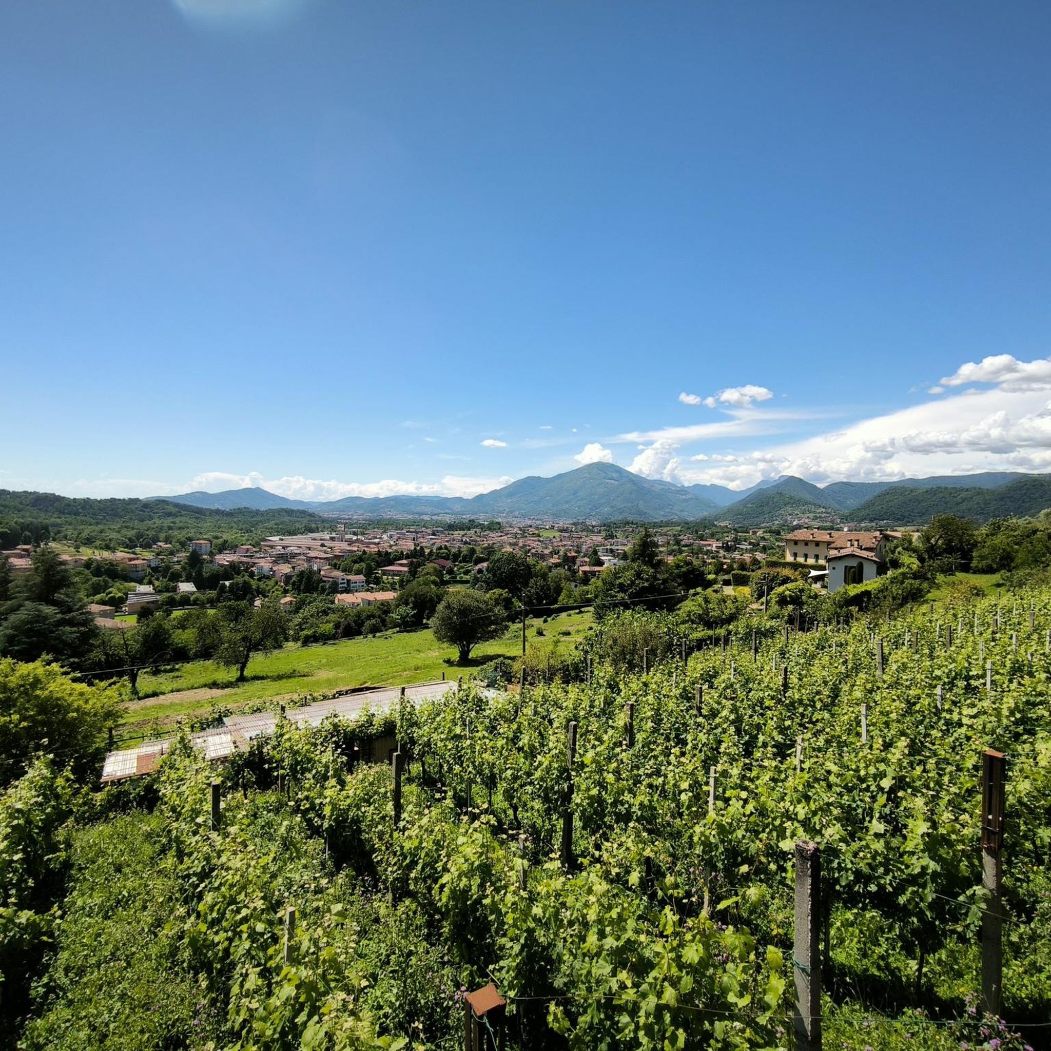
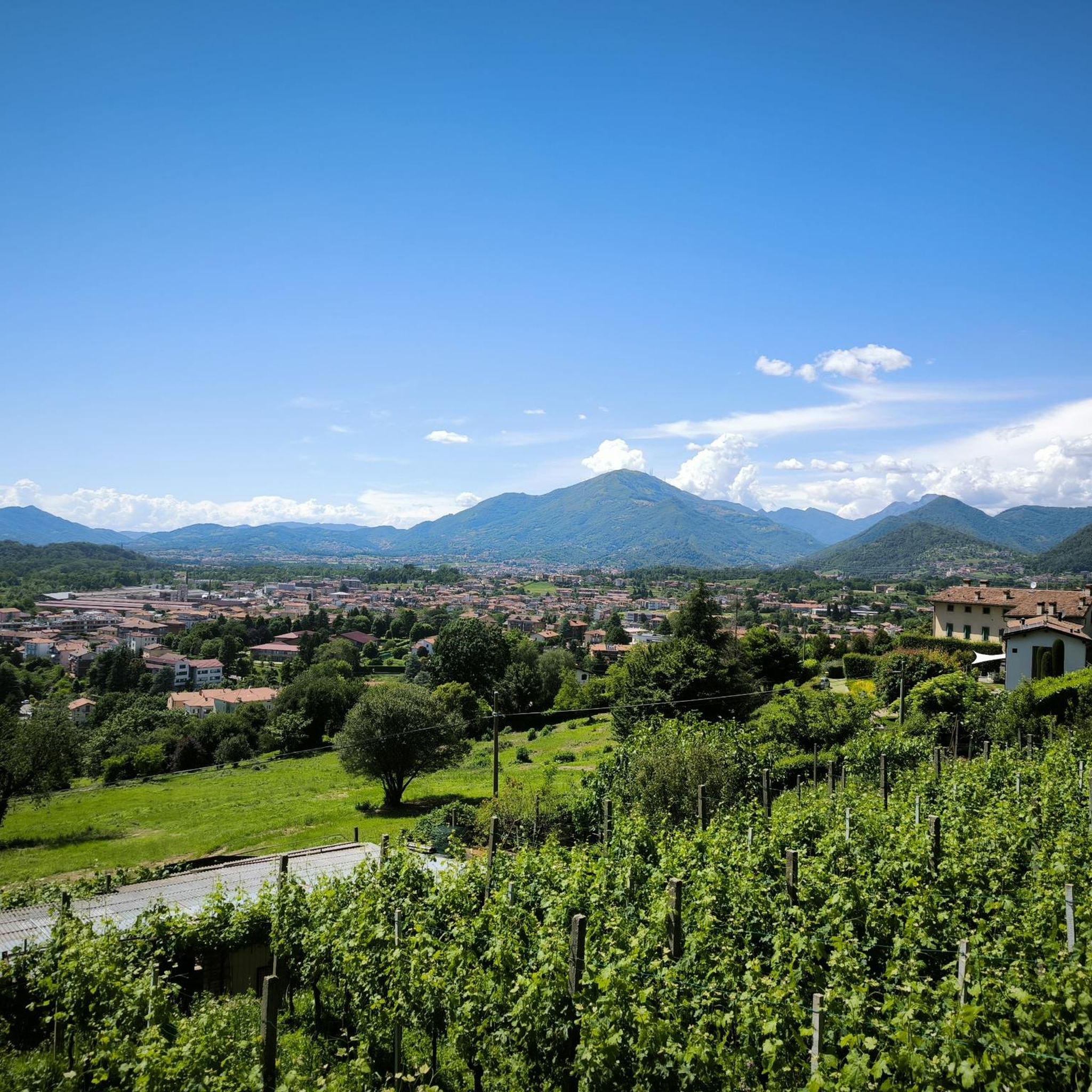
The routes traverse the rugged Bergamasque Alps, offering views of notable peaks like Monte Ponteranica and Monte Linzone. You can also encounter picturesque alpine lakes, deep valleys, and sections within the Parco dei Colli di Bergamo. Specific highlights include the scenic Pozza del Colle and various viewpoints such as The Cross and the Vineyards of Cereto.
Are there any circular mountaineering routes in the Ponteranica area?
Yes, several routes are designed as loops. Popular circular options include the Monte Linzone loop from Roncola, the Canto Alto – Pisgiù loop from Sorisole, and the Monte Linzone loop from Almenno San Salvatore. These allow you to start and finish at the same point, offering diverse scenery along the way.
What is the typical duration for mountaineering routes around Ponteranica?
The duration varies depending on the route's length and elevation. For instance, the Monte Linzone loop from Roncola typically takes around 2 hours 36 minutes, while the longer Monte Linzone loop from Almenno San Salvatore can take approximately 6 hours 10 minutes. Routes like the Campanua – Canto Alto loop from Torre Boldone are also substantial, often requiring over 6 hours to complete.
What do other mountaineers say about the routes in Ponteranica?
The mountaineering routes around Ponteranica are highly regarded by the komoot community, holding an average score of 4.75 stars from multiple reviews. Mountaineers often praise the stunning landscapes, challenging ascents, and panoramic views of the Bergamasque Alps.
Are there any family-friendly mountaineering options in Ponteranica?
The routes specifically categorized as mountaineering around Ponteranica are generally difficult and require alpine experience, making them less suitable for families with young children or those seeking easy strolls. However, the broader Parco dei Colli di Bergamo, which borders Ponteranica, offers extensive hiking trails with varying difficulties, some of which may be more family-friendly.
Can I bring my dog on the mountaineering trails?
While specific regulations for dogs on these mountaineering routes are not detailed, it's generally advisable to keep dogs on a leash in mountainous areas, especially due to wildlife and livestock. Always ensure your dog is fit enough for challenging terrain and carry enough water for both of you. Check local park rules for the Parco dei Colli di Bergamo if your route enters that area.
What is the best time of year for mountaineering in Ponteranica?
The best time for mountaineering in the Bergamasque Alps, including Ponteranica, is typically from late spring to early autumn (May to October) when the weather is more stable and trails are free of snow. Summer offers warmer temperatures, but be prepared for potential thunderstorms. Always check the local weather forecast before heading out, especially for higher elevations.
Are there any mountain huts or places to stop for refreshments along the routes?
Along some of the longer routes in the Bergamasque Alps, you may find mountain refuges (rifugi) that offer convenient stopping points for rest and refreshments. For example, Rifugio Salmurano is mentioned as a stopping point on longer routes in the broader region. It's always a good idea to research specific routes for available amenities before your trip.
What are some less crowded mountaineering routes or areas to explore?
While all listed mountaineering routes offer a challenging experience, for potentially less crowded options, consider exploring different sections of the extensive Sentiero delle Orobie Occidentale (CAI 101 trail) which traverses the Bergamasque Alps. This network provides numerous paths beyond the most popular loops, allowing for a more solitary experience amidst stunning alpine meadows and streams.
Are there any cultural or historical attractions near the mountaineering areas?
While primarily an outdoor destination, Ponteranica itself offers some cultural attractions. These include the 15th-century Parish Church of the Saints Alessandro and Vincenzo, which houses a polyptych by Lorenzo Lotto, and the Parish Church of San Salvatore with its 16th-century frescoes. These can be explored before or after your mountaineering adventures.
Most popular routes around Ponteranica
Most popular attractions around Ponteranica

Get inspired with the komoot mobile app


Explore more
Browse the best Mountain Hikes & Routes in other regions.
