The best mountain hikes around Roccavione
5.0
(1)
11
hikers
3
hikes
Mountaineering routes around Roccavione traverse a diverse landscape in Italy's Piedmont region, characterized by mountainous terrain and varied valleys. The area features prominent peaks like Monte Cuccetto and Bric Berciassa, offering expansive views. Routes often lead through verdant beech forests, giving way to alpine environments and notable rock formations such as the Falesia di Roccavione. The Gesso and Vermenagna valleys contribute to the region's varied topography.
Best mountaineering routes around Roccavione
- The most popular mountaineering route is Costa Balmera loop…
Last updated: July 8, 2026
5.0
(1)
5
hikers
Moderate mountaineering route. Good fitness required. Easily-accessible paths. Suitable for all skill levels.
3
hikers
6.25km
02:32
420m
420m
Moderate mountaineering route. Good fitness required. Mostly accessible paths. Sure-footedness required.

Sign up for free
3
hikers
15.6km
06:07
890m
890m
Hard mountaineering route. Very good fitness required. Mostly accessible paths. Sure-footedness required.
Our route recommendations are based on thousands of hikes, rides, and runs completed by other people on komoot.
Start today with a free account
Your next adventure awaits.
Login or Signup

Tips from the Community

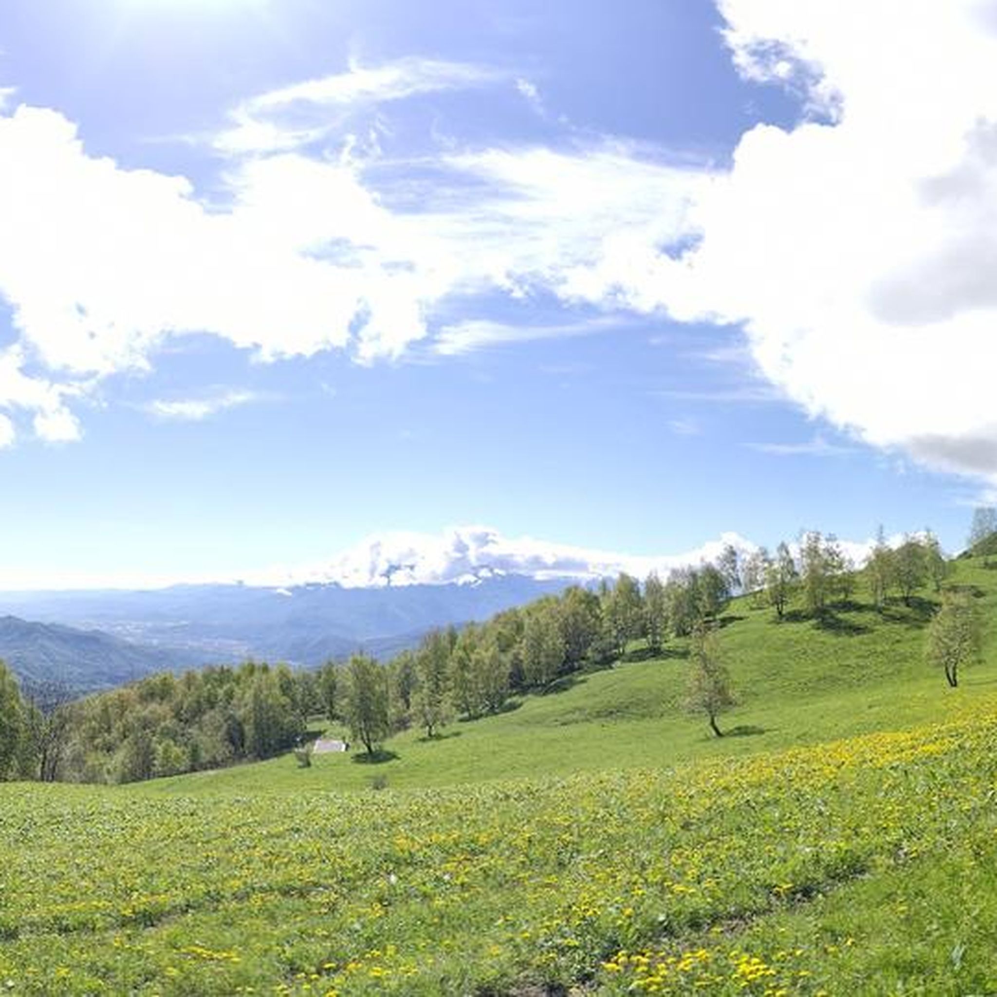
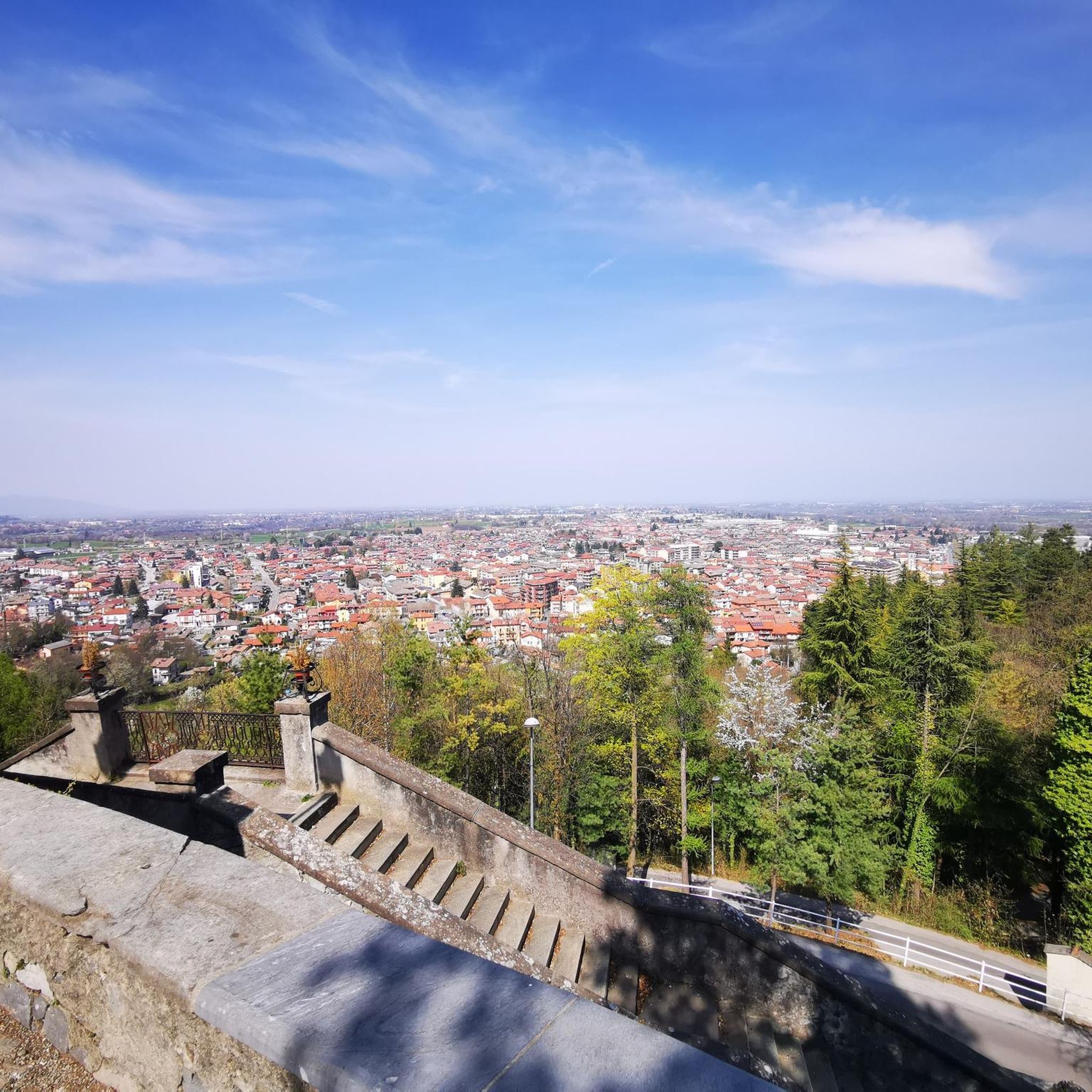
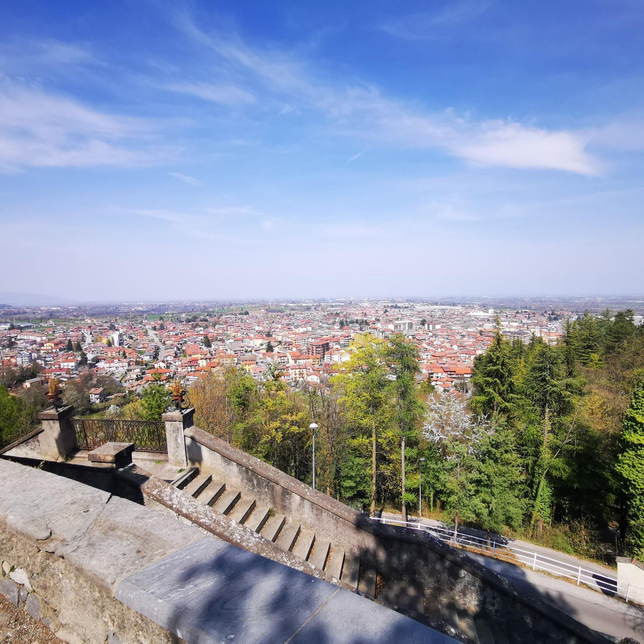
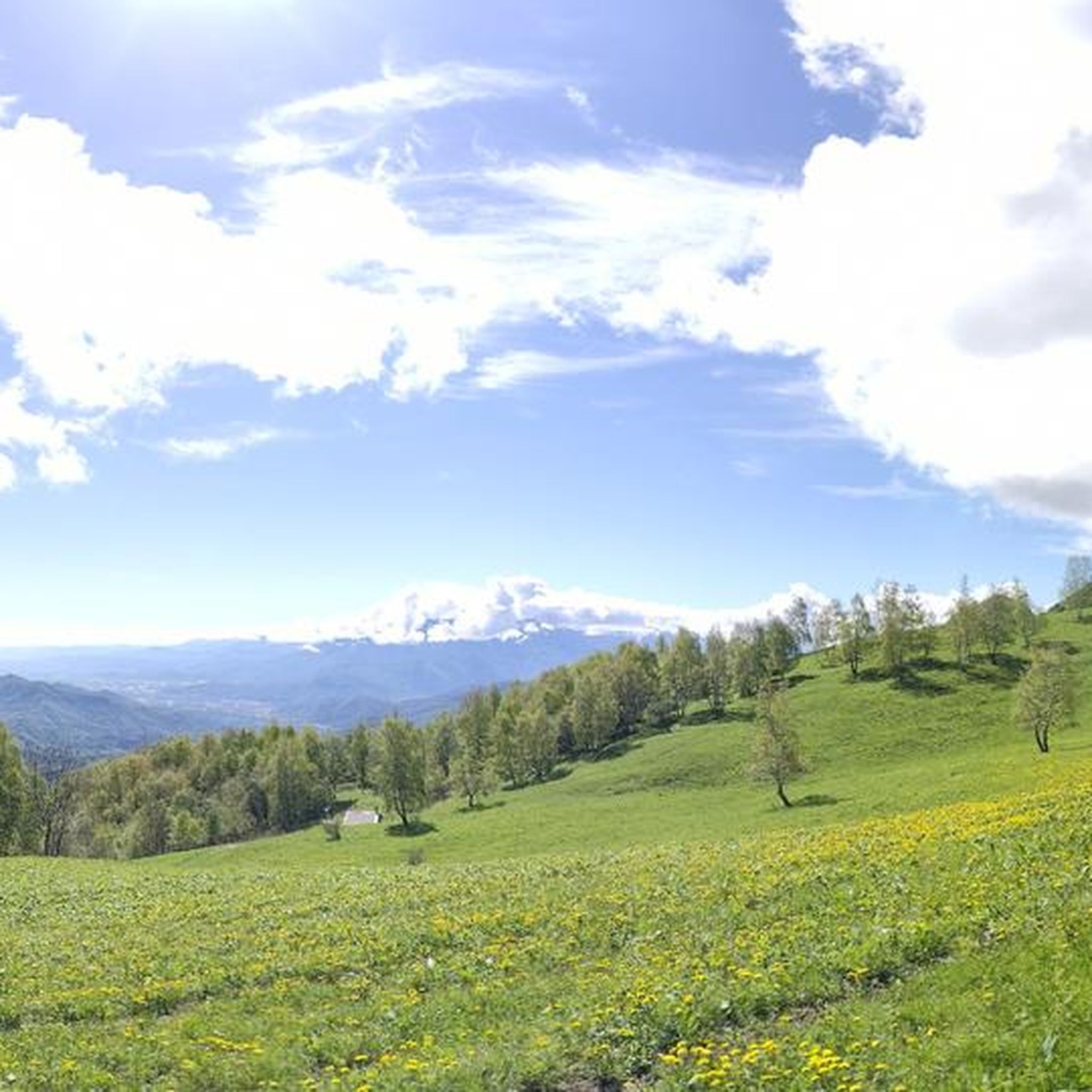
A truly panoramic peak. The trail to reach it is poorly marked and has some rocky sections, requiring minimal assistance. Not recommended in midsummer due to the dense vegetation that overwhelms the trail.
0
0

Between the narrow rock walls flows the stream that descends to the valley. There is a path that goes up to go and see them higher up
0
0
This is a canyon with a small stream flowing through it. It is a particularly suggestive place, after which you find yourself in a sort of amphitheater surrounded by vertical walls, where you can admire the spectacle of nature. A helmet is recommended, due to the possible falling rocks from above.
0
0
Beautiful panoramic point that enters a thick fir forest, often characterized by a very suggestive mist. There are 3 comfortable benches made of carved trunks, very beautiful and in harmony with the environment. Beautiful view also of the surrounding mountains and possibility via a poorly marked path to reach the summit of Mount Lausa.
1
0

New Trail of the hairpin bends,👍beautiful and challenging
0
0

Path with a predominantly compact and soft bottom due to the presence of fir trees, it is characterized by numerous hairpin bends, a pleasure for those who love to ride a bike and nose presses
1
0
Reachable via a path with some steep sections from Tetti Stramondin, then it is possible to descend towards Entracque or continue uphill towards Monte Corno
1
0
Climb almost entirely pedalable, some steeper and bumpier points
1
0
Frequently Asked Questions
What kind of terrain can I expect on mountaineering routes around Roccavione?
Mountaineering routes in Roccavione traverse a diverse landscape, characterized by mountainous terrain, varied valleys, and prominent peaks like Monte Cuccetto and Bric Berciassa. You'll often find yourself moving through verdant beech forests before reaching more alpine environments. The region is also known for notable rock formations, such as the Falesia di Roccavione, which features quartzite rock.
Are there any circular mountaineering routes in the Roccavione area?
Yes, several mountaineering routes around Roccavione are designed as loops, allowing you to start and end at the same point. For example, you could explore the Costa Balmera loop from Entracque or the Lago Frisson Inferiore – Lago degli Alberghi loop from Palanfrè, which takes you past beautiful mountain lakes.
What are the difficulty levels of mountaineering routes near Roccavione?
The mountaineering routes around Roccavione primarily range from moderate to difficult. There are no easy routes listed in this guide, so a good level of fitness and some alpine experience are generally recommended. Routes like the Gola della Reina loop from Entracque offer a moderate challenge, while others like the Punta Giaime – Punta Balmarossa loop from Entracque are considered difficult.
What can I see along the mountaineering routes around Roccavione?
Beyond the stunning mountain vistas and diverse ecosystems, you can encounter several interesting points. The region is rich in history and natural beauty. For instance, you might find yourself near the Sanctuary of Madonna del Colletto, a popular passage for cyclists, or discover historical sites like the Ruins of Castello Bolleris. The Lago Frisson Inferiore – Lago degli Alberghi loop from Palanfrè will lead you past picturesque mountain lakes.
Is Roccavione suitable for beginner mountaineers?
While Roccavione offers a range of outdoor activities, the mountaineering routes featured in this guide are generally rated as moderate to difficult. There are no easy routes, so beginners should have a good level of fitness and ideally some prior experience or go with an experienced guide. The Falesia di Roccavione, however, is a well-known climbing spot with routes suitable for learning to climb, ranging from difficulty 2 upwards.
Are there any dog-friendly mountaineering routes in Roccavione?
Many trails in the Roccavione area are generally dog-friendly, but it's always best to check specific route details and local regulations before heading out with your pet. Given the mountainous terrain and potential for wildlife, dogs should be well-behaved and kept on a leash, especially in protected areas or near livestock. Always ensure your dog can handle the difficulty and length of the chosen route.
What is the best time of year for mountaineering in Roccavione?
The best time for mountaineering in Roccavione is typically from late spring through early autumn (May to October), when the weather is more stable and trails are clear of snow. During these months, you can enjoy the verdant beech forests and alpine environments. Winter mountaineering is possible but requires specialized equipment and experience due to snow, ice, and colder temperatures.
What do other mountaineers enjoy the most about Roccavione?
The area is highly rated by the komoot community, with an average score of 4.8 stars. Reviewers often praise the diverse mountainous terrain, the stunning panoramic views from peaks like Monte Cuccetto and Bric Berciassa, and the varied landscapes that transition from beech forests to alpine environments. The challenge and beauty of routes like the Costa Balmera loop from Entracque are frequently highlighted.
Are there options for parking near the mountaineering trailheads?
Yes, many mountaineering routes in the Roccavione area, especially those starting from villages like Entracque or Palanfrè, typically have designated parking areas. It's advisable to check the specific starting point of your chosen route for detailed parking information. Public transport options might be limited for reaching some remote trailheads, making a car often the most convenient option.
Are there any permits required for mountaineering or climbing in Roccavione?
For general mountaineering on established trails, permits are typically not required. However, if you plan on rock climbing at the Falesia di Roccavione, it's always good practice to check for any local regulations or access restrictions, although it's known for its accessibility. For specific high-alpine or protected areas, it's wise to consult local park authorities for any special requirements.
Can I find food and accommodation near the mountaineering routes?
Roccavione and nearby towns like Entracque offer various amenities. You can find cafes, restaurants, and accommodation options ranging from hotels to guesthouses. It's a good idea to plan your route and check for available services in the villages closest to your trailhead, especially if you're embarking on a longer tour.
What are the typical lengths and durations of mountaineering routes in this region?
The mountaineering routes around Roccavione vary in length and duration. For instance, the Gola della Reina loop from Entracque is about 3.9 miles (6.25 km) and takes around 2 hours 30 minutes. Longer routes, such as the Punta Giaime – Punta Balmarossa loop from Entracque, stretch to about 9.7 miles (15.7 km) and can take over 6 hours to complete, requiring significant endurance.
Most popular routes around Roccavione
Most popular attractions around Roccavione

Get inspired with the komoot mobile app


Explore more
Browse the best Mountain Hikes & Routes in other regions.
