The best mountain hikes around Robilante
4.0
(2)
25
hikers
5
hikes
Mountaineering routes around Robilante are situated in the Cuneo region, characterized by its alpine environment. The terrain features prominent peaks, forested slopes, and mountain lakes, offering varied ascents and descents. This area provides a range of challenging routes suitable for experienced mountaineers.
Best mountaineering routes around Robilante
- The most popular mountaineering route is Costa Balmera loop from Entracque, a 4.0 miles (6.4 km) trail that takes 3 hours 55 minutes to complete. This difficult route offers a challenging ascent…
Last updated: May 11, 2026
3.0
(1)
11
hikers
10.7km
05:32
1,080m
1,080m
Hard mountaineering route. Very good fitness required. Sure-footedness, sturdy shoes and alpine experience required.
5.0
(1)
5
hikers
Moderate mountaineering route. Good fitness required. Easily-accessible paths. Suitable for all skill levels.

Sign up for free
3
hikers
10.0km
05:37
1,080m
1,080m
Hard mountaineering route. Very good fitness required. Sure-footedness, sturdy shoes and alpine experience required.
3
hikers
6.25km
02:32
420m
420m
Moderate mountaineering route. Good fitness required. Mostly accessible paths. Sure-footedness required.
3
hikers
15.6km
06:07
890m
890m
Hard mountaineering route. Very good fitness required. Mostly accessible paths. Sure-footedness required.
Our route recommendations are based on thousands of hikes, rides, and runs completed by other people on komoot.
Start today with a free account
Your next adventure awaits.
Login or Signup

Tips from the Community

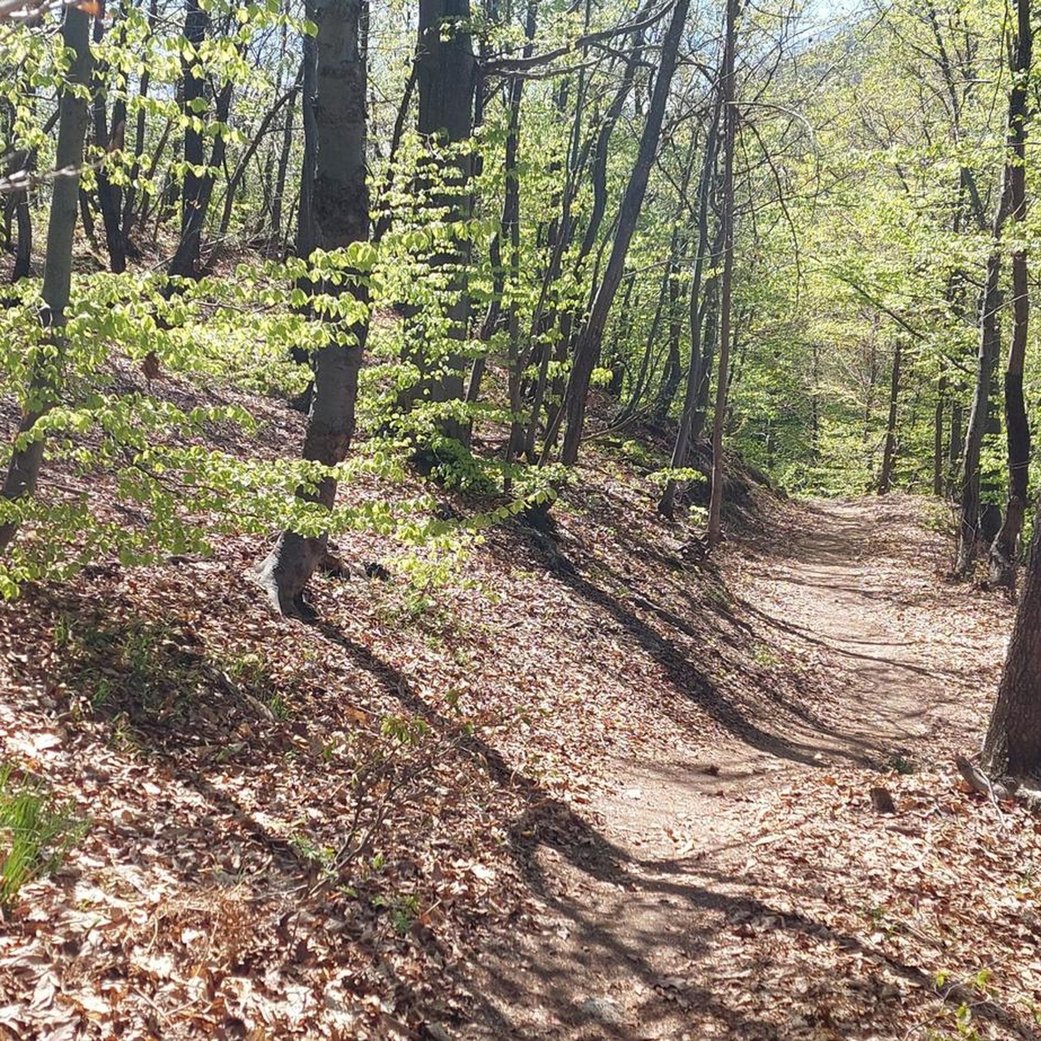
A truly panoramic peak. The trail to reach it is poorly marked and has some rocky sections, requiring minimal assistance. Not recommended in midsummer due to the dense vegetation that overwhelms the trail.
0
0

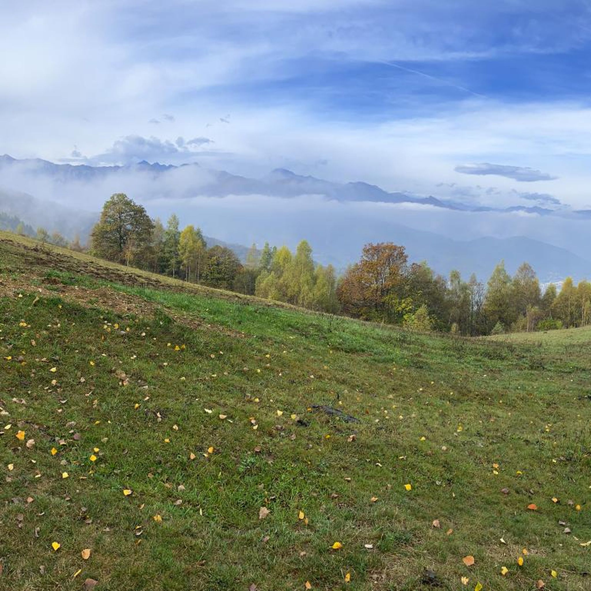
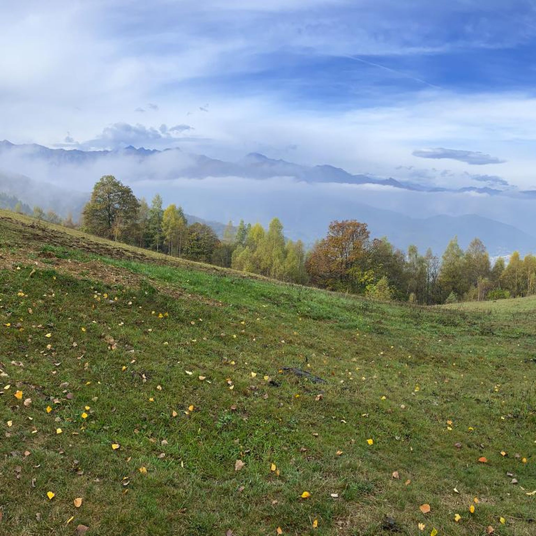
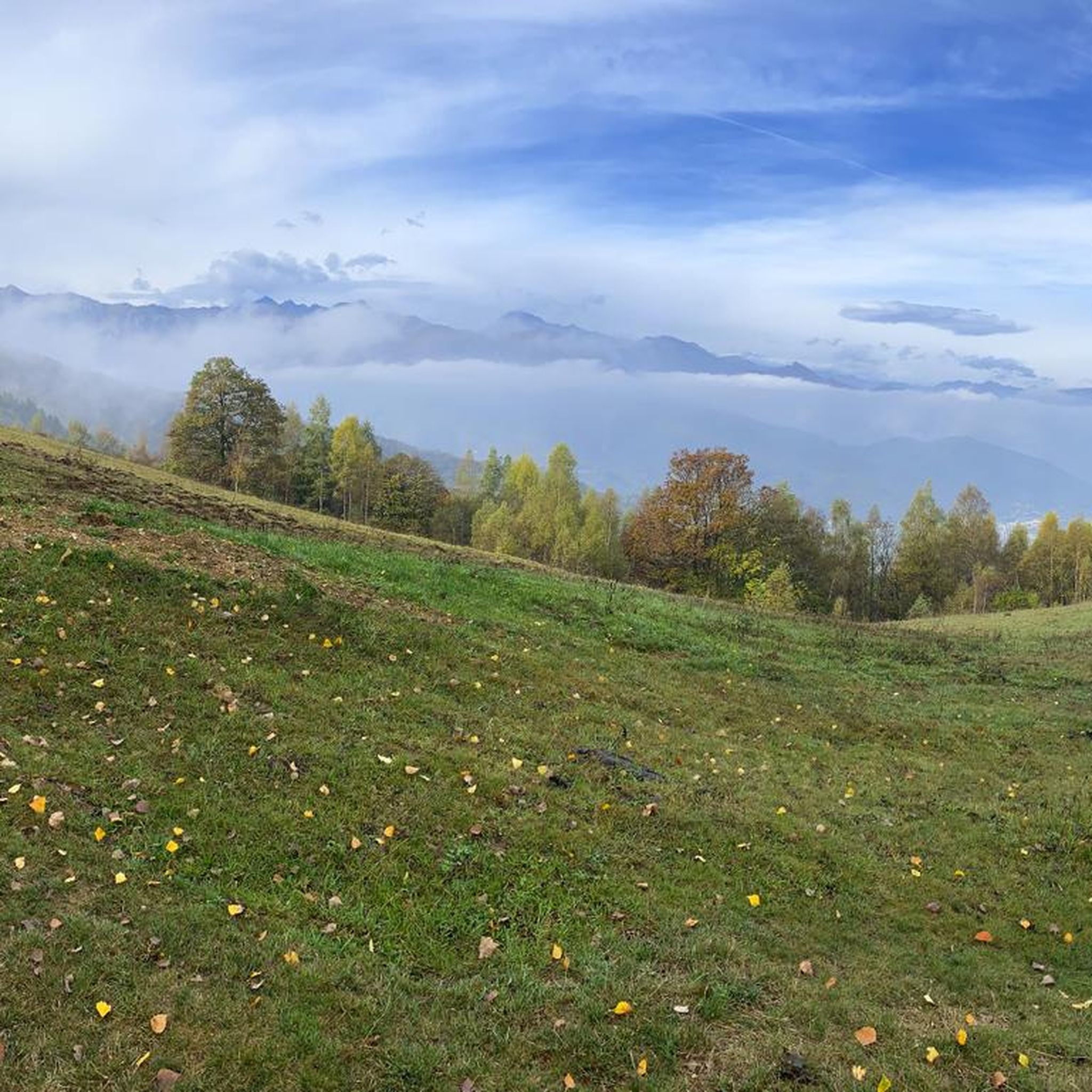
A beautiful stretch of ridge that goes from Cima Rossa to Cima Besimauda. Pay attention to the weather forecast for the risk of thunderstorms. If you hike in the sun, bring water with you, as there are no fountains except at the bottom of the valley. The stretch is challenging but doable with due caution.
0
0

Between the narrow rock walls flows the stream that descends to the valley. There is a path that goes up to go and see them higher up
0
0
This is a canyon with a small stream flowing through it. It is a particularly suggestive place, after which you find yourself in a sort of amphitheater surrounded by vertical walls, where you can admire the spectacle of nature. A helmet is recommended, due to the possible falling rocks from above.
0
0
Beautiful panoramic point that enters a thick fir forest, often characterized by a very suggestive mist. There are 3 comfortable benches made of carved trunks, very beautiful and in harmony with the environment. Beautiful view also of the surrounding mountains and possibility via a poorly marked path to reach the summit of Mount Lausa.
1
0

New Trail of the hairpin bends,👍beautiful and challenging
0
0
Starting point for various hiking tours, and there is no shortage of mountain bikes
1
0

Rocky peak with a view over the entire Cuneo area
1
0
Frequently Asked Questions
How many mountaineering routes are available around Robilante?
There are 8 mountaineering routes documented around Robilante on komoot, offering a variety of challenges for experienced mountaineers.
Are there any easier mountaineering routes for beginners in the Robilante area?
While the Robilante area is primarily known for its challenging ascents, there are a couple of moderate routes. For instance, the Gola della Reina loop from Entracque is a moderate option that still provides a rewarding experience without the extreme difficulty of some other trails.
What is the best time of year for mountaineering in Robilante?
Given the alpine environment of the Cuneo region, the best time for mountaineering around Robilante is typically from late spring through early autumn (June to September). During these months, trails are generally free of snow, and weather conditions are more stable, though it's always wise to check local forecasts before heading out.
Are there any circular mountaineering routes around Robilante?
Yes, many of the mountaineering routes in Robilante are circular, allowing you to start and end at the same point. Examples include the popular Costa Balmera loop from Entracque, the Cima Praviné loop from Pradeboni, and the Lago Frisson Inferiore – Lago degli Alberghi loop from Palanfrè.
What kind of natural attractions or viewpoints can I expect along these routes?
The mountaineering routes around Robilante offer stunning alpine scenery, including prominent peaks, forested slopes, and mountain lakes. You might encounter beautiful lakes such as Lake della Piastra or Rivoira Lake. Many routes also provide expansive views from high points like Cima Praviné or towards summits like Monte Gelas.
Are there any dog-friendly mountaineering trails in the Robilante area?
Many trails in the Robilante area are generally dog-friendly, but it's crucial to keep your dog on a leash, especially in protected areas or near livestock. Always ensure your dog is fit for the challenging terrain and carry enough water for both of you. Specific regulations may apply in certain sections of the alpine park.
What should I bring for a mountaineering trip in Robilante?
For mountaineering in the Cuneo region, essential gear includes sturdy hiking boots, appropriate layers of clothing for varying weather conditions, rain gear, a map and compass or GPS device, sufficient water and snacks, a first-aid kit, and sun protection. Given the challenging nature of many routes, trekking poles are also highly recommended.
Are there any places to eat or get refreshments near the mountaineering trailheads?
While the immediate trailheads might be remote, you can often find cafes and restaurants in nearby villages like Entracque or Pradeboni, which serve as starting points for several routes. It's advisable to check opening hours in advance, especially during off-peak seasons.
Where can I find parking for mountaineering routes around Robilante?
Parking is typically available at the main starting points of the routes, such as in Entracque, Pradeboni, or Palanfrè. These villages often have designated parking areas for hikers. However, during peak season, spaces can fill up quickly, so arriving early is recommended.
What do other mountaineers say about the routes in Robilante?
The mountaineering routes around Robilante are highly rated by the komoot community, with an average score of 4.2 stars from more than 5 reviews. Mountaineers often praise the challenging ascents, the rugged beauty of the alpine landscape, and the rewarding panoramic views from the peaks.
Are there any moderate difficulty mountaineering routes in Robilante?
Yes, out of the 8 routes, 2 are classified as moderate. An example is the Gola della Reina loop from Entracque, which offers a less strenuous but still engaging experience compared to the more difficult ascents in the region.
Can I find any routes that lead to mountain passes or religious sites?
Yes, the region features several mountain passes and points of interest. For example, you might encounter the Sanctuary of Madonna del Colletto or pass through areas like Colletto di San Giovenale, offering both scenic beauty and cultural significance.
Most popular routes around Robilante
Most popular attractions around Robilante

Get inspired with the komoot mobile app


Explore more
Browse the best Mountain Hikes & Routes in other regions.
