The best gravel rides around Montorio Romano
4.6
(11)
50
riders
6
rides
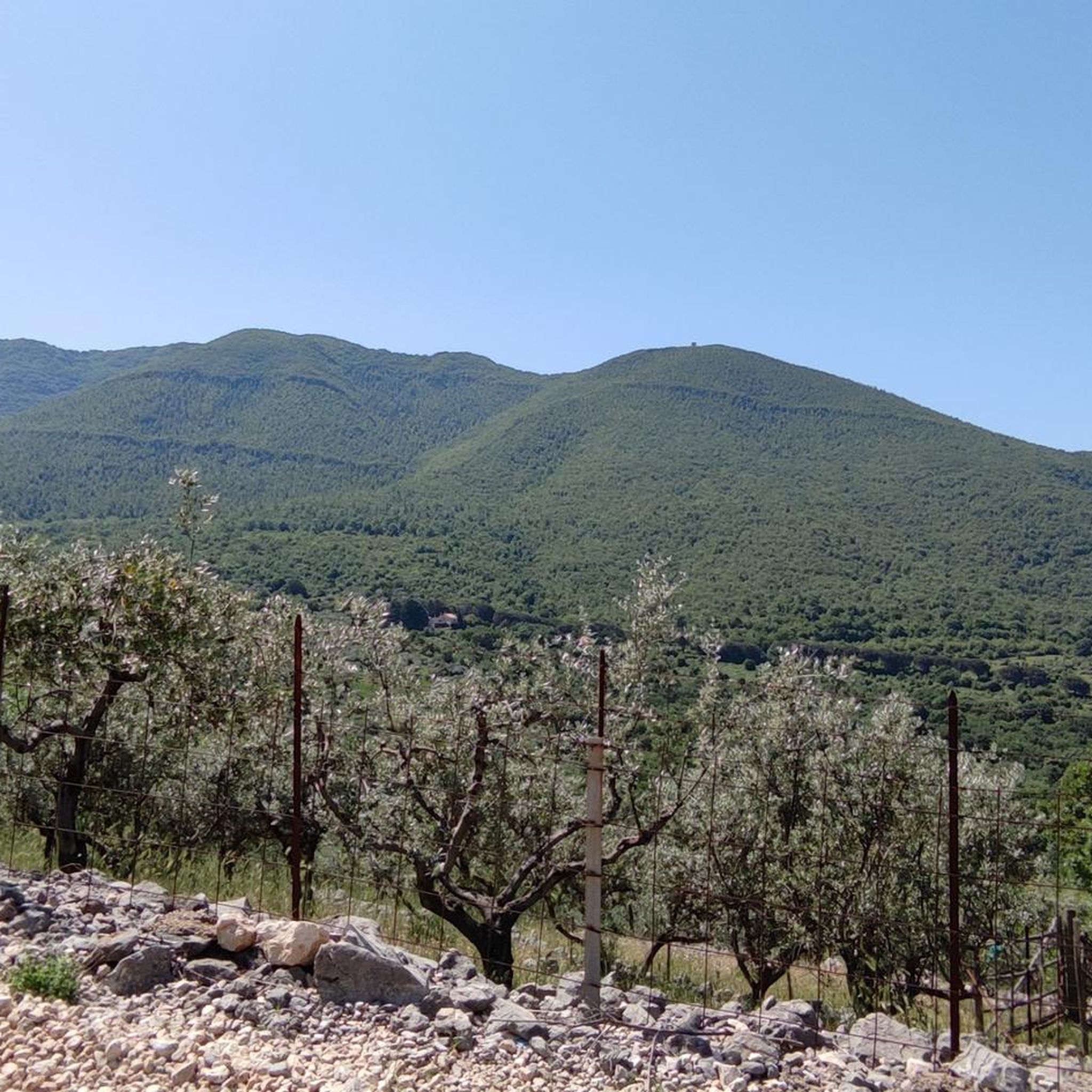
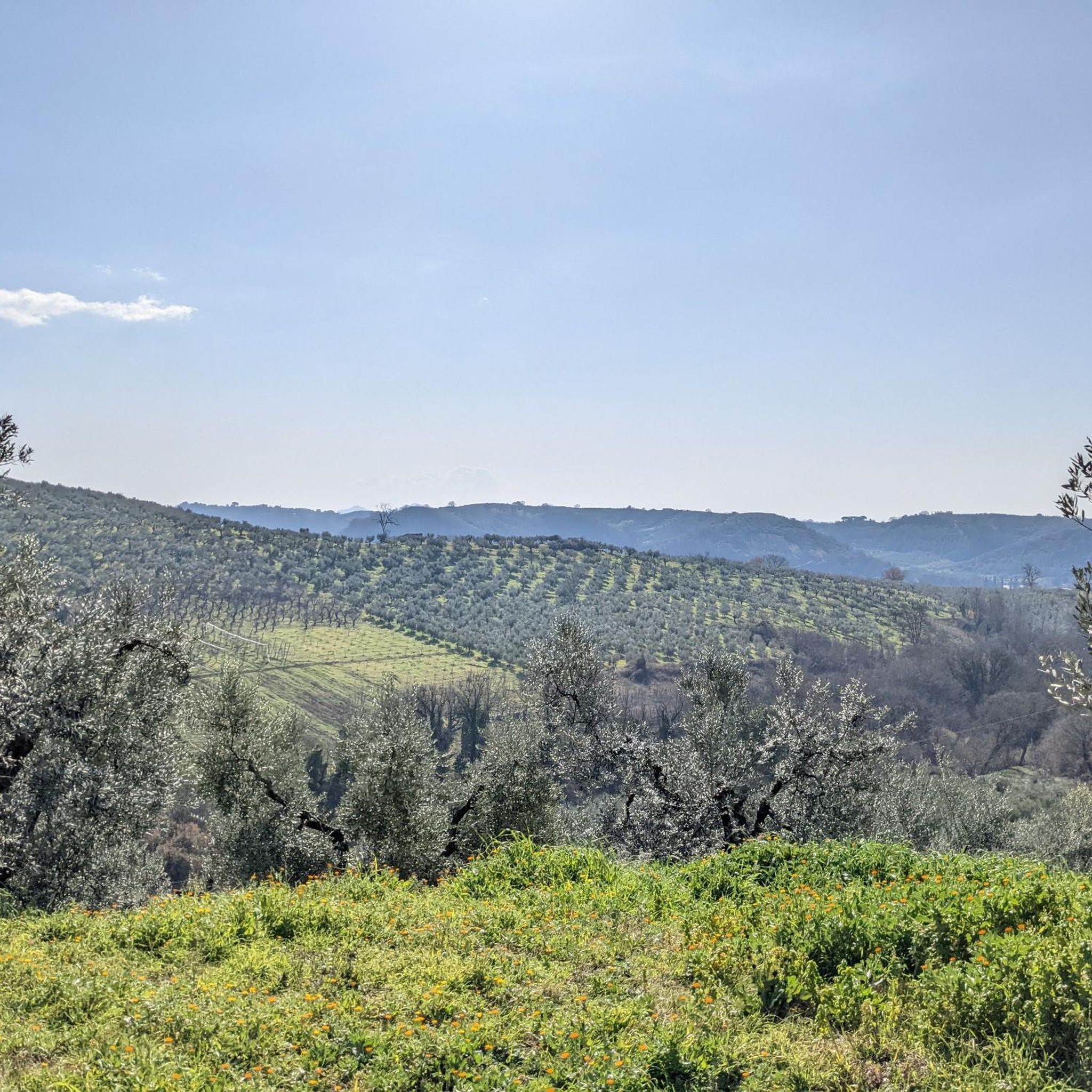
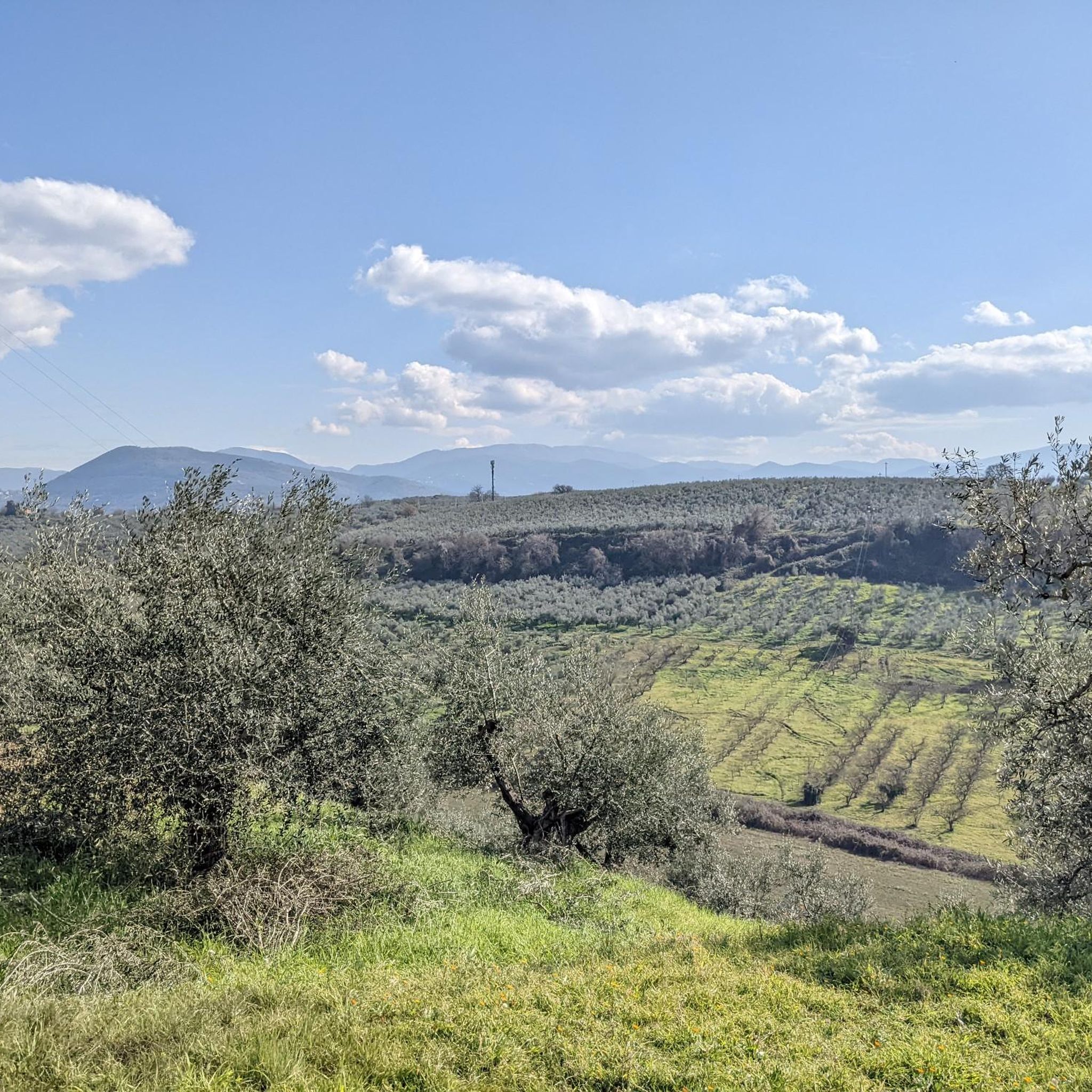
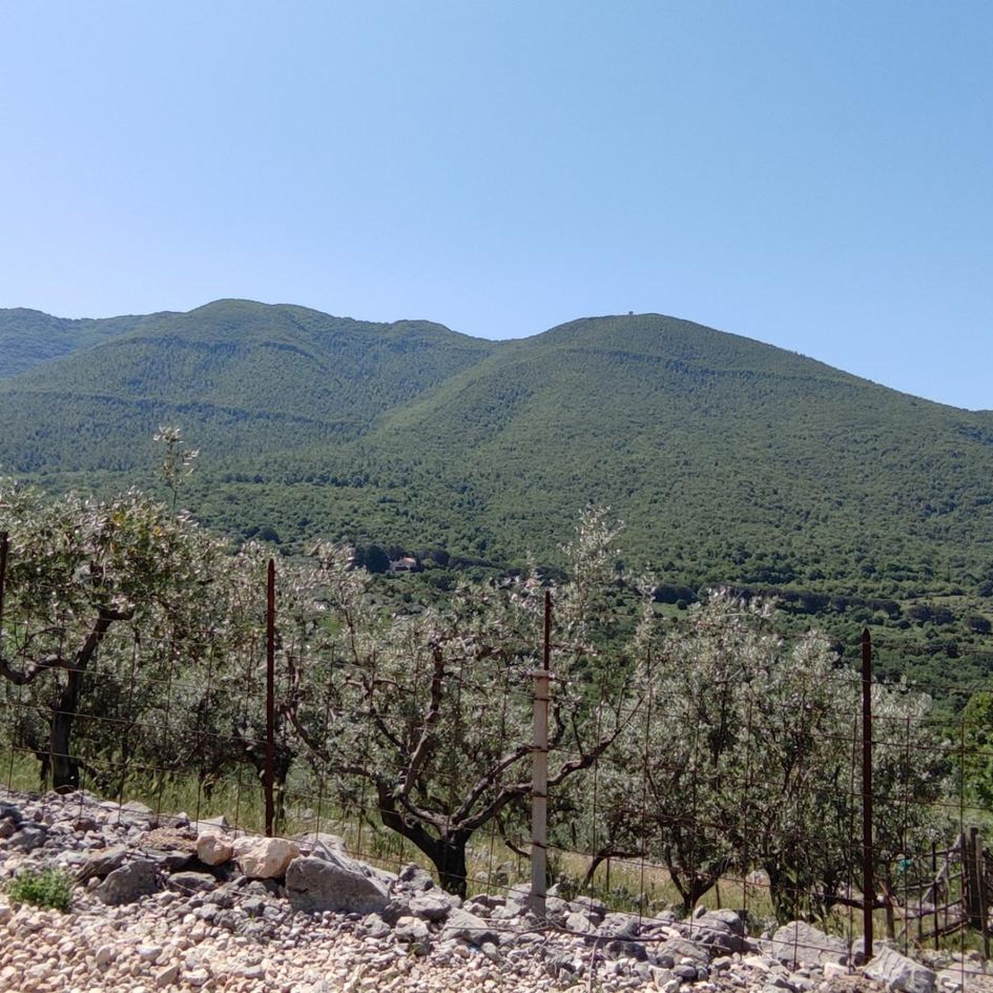
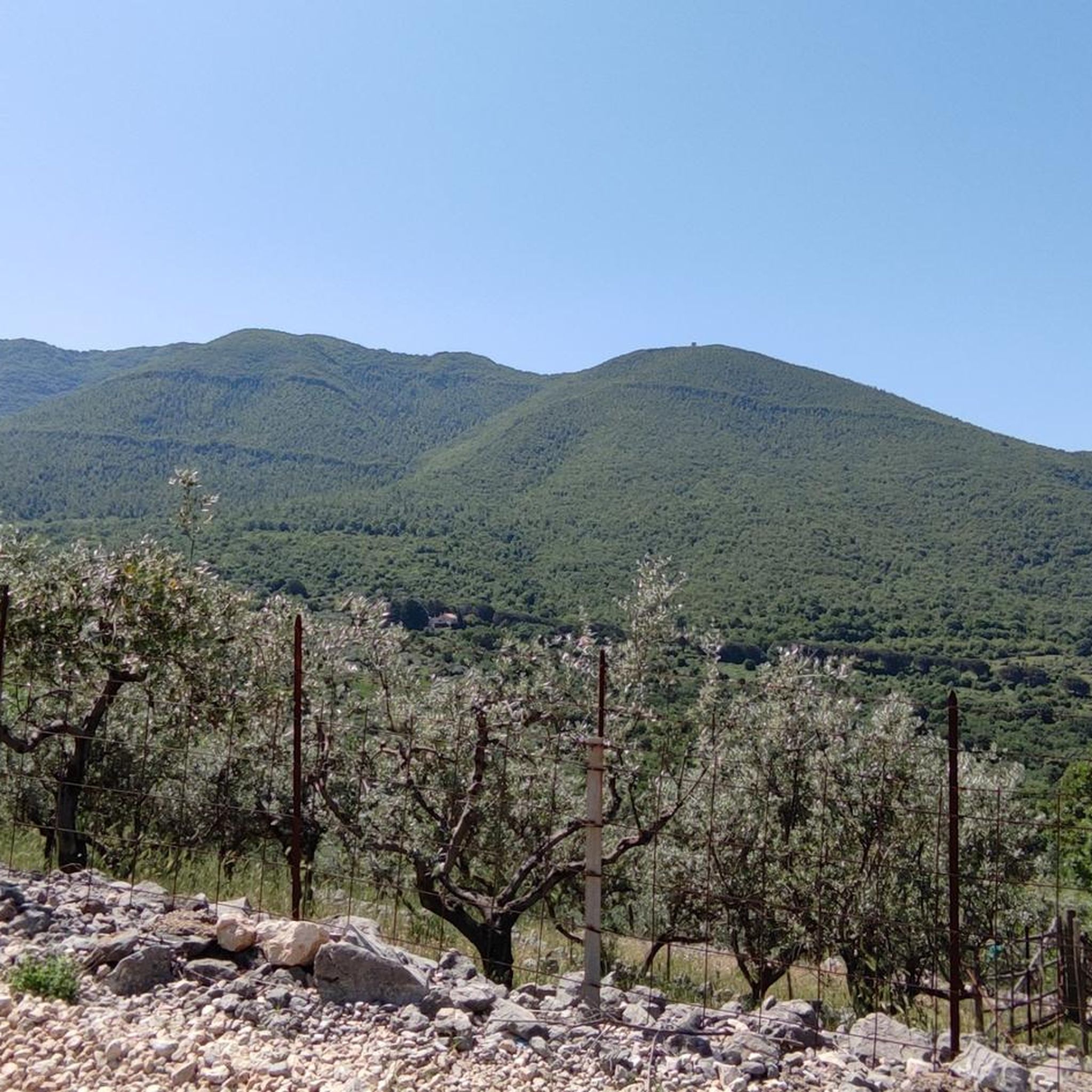
Gravel biking around Montorio Romano offers diverse landscapes within the Lucretili Mountains Park, situated between the Tiber and Turano rivers. The region features mountainous areas with gentle, rounded profiles, adorned with vineyards and olive groves. Dense forests, particularly on the slopes of Monte Pelato, provide shaded routes and varied terrain. Riders can experience a mix of ascents and descents through agricultural lands and natural settings, with extensive views over the Tiber Valley and towards the Terminillo massif.
Best gravel bike…
Last updated: July 8, 2026
5.0
(3)
15
riders
Hard gravel ride. Very good fitness required. Mostly paved surfaces. Suitable for all skill levels.
4.3
(3)
14
riders
Hard gravel ride. Very good fitness required. Mostly paved surfaces. Suitable for all skill levels.

Sign up for free
5.0
(4)
8
riders
55.5km
03:38
800m
800m
Hard gravel ride. Very good fitness required. Mostly paved surfaces. Suitable for all skill levels.
6
riders
Moderate gravel ride. Good fitness required. Mostly paved surfaces. Suitable for all skill levels.
2
riders
51.2km
04:03
1,110m
1,110m
Hard gravel ride. Very good fitness required. Mostly paved surfaces. Suitable for all skill levels.
Our route recommendations are based on thousands of hikes, rides, and runs completed by other people on komoot.
Start today with a free account
Your next adventure awaits.
Login or Signup
Tips from the Community

A suggestive and historically significant place in Sabina. A destination to reach by bike in many ways. The only problem from Rome is getting to the area via main roads such as Tiberina and Salaria
0
0

Enchanting views, intense climbs. A little extra attention is needed due to the uneven asphalt and motorcyclists.
0
0

Beautiful village with an abbey that is worth a visit. From Fara Sabina there is a very long singletrack that is very fun to do only by MTB
0
0

if you want to do motocross, this is the right place
1
0
at the entrance of Passo Corese
0
0

Hidden fountain in broken bridge
1
0

cit. wiki: "The first classification of this road within the national road system took place in the Fascist era, when the road that connected Rome to Perugia, passing through Passo Corese, Terni and Spoleto (sharing the initial stretch with the Via Salaria and the final one with the Via Flaminia) was called "Via Littoria", even if it is not clear with what title, since it was not counted among the state roads." In 1922 the route of the road, both in the autonomous Terni-Passo Corese section and in those shared with the Salaria and Flaminia, was marked by means of numerous marble stones, placed at the crossroads with the secondary roads that branched off from the main artery. The memorial stones, many of which are still visible, show the progressive kilometer, the name "Via Littoria", the year 1922 in Roman numerals, the symbol of the fasces and arrows indicating the direction of Rome, Perugia and the locality reached by the branch.
1
0
Frequently Asked Questions
What kind of terrain can I expect on gravel bike trails near Montorio Romano?
The gravel bike trails around Montorio Romano offer a diverse mix of terrain. You'll encounter mountainous areas with gentle, rounded profiles, often adorned with vineyards and olive groves. There are also significant stretches of dense forest, particularly on the slopes of Monte Pelato, providing shaded routes. Expect a blend of unpaved tracks, often referred to as 'strade bianche,' connecting agricultural lands and natural settings, ideal for gravel cycling.
How many gravel bike trails are available around Montorio Romano?
There are over 7 gravel bike trails available around Montorio Romano, offering a variety of experiences for different skill levels. These routes are highly rated by the komoot community, with an average score of 4.6 stars from over 10 reviews.
Are there any family-friendly gravel bike routes in Montorio Romano?
While many routes in the Montorio Romano area are rated as difficult, there is at least one moderate option that might be suitable for families with some cycling experience. The Crossodromo di Ponte Sfondato – Farmhouse with Cyclopean Walls loop from Fara Sabina-Montelibretti is a moderate 28.5 km trail with less elevation gain compared to others, making it a good starting point. Always check the route details for specific difficulty and terrain before heading out with children.
What are some scenic viewpoints or natural features to look out for on the gravel trails?
Montorio Romano, often called a 'balcony over Rome,' offers extensive panoramic views. From its elevation, you can see the Tiber Valley and Mount Soratte to the southwest, and a series of hills extending to the Terminillo massif to the north. The trails also pass through lush vegetation, including beech forests and mixed sclerophyll woods, and you might even spot local wildlife like the Apennine squirrel or various birds of prey. Routes like the Toffia – View of Fara in Sabina loop from Fara Sabina-Montelibretti are known for their panoramic vistas.
Can I find any waterfalls or water features along the gravel bike routes?
Yes, several popular gravel bike routes in the area feature natural water formations. For example, the Acquaviva Waterfall – Farfa Water Conduits loop from Fara Sabina-Montelibretti specifically highlights a waterfall and water conduits, offering a refreshing natural attraction during your ride.
What is the best season for gravel biking in Montorio Romano?
The diverse vegetation of Montorio Romano, blending Mediterranean and continental elements, suggests pleasant conditions during spring and autumn. These seasons typically offer milder temperatures and vibrant landscapes, making them ideal for exploring the trails. Summer can be hot, while winter might bring cooler, potentially wet conditions, especially in higher elevations.
Are there any circular gravel bike routes available?
Yes, many of the gravel bike trails around Montorio Romano are designed as loops, allowing you to start and end at the same point. Examples include the Farfa Water Conduits – Acquaviva Waterfall loop from Fara Sabina-Montelibretti and the Bridge over the Farfa – Farfa Water Conduits loop from Fara Sabina-Montelibretti, providing convenient options for your ride.
What cultural attractions or landmarks can I visit near the gravel trails?
Beyond the natural beauty, Montorio Romano offers cultural stops. You can explore the Baronial Palace in the oldest part of town, Montaterra, or visit the charming Church of San Leonardo. The area is also known for its traditional specialties like Sabina DOP extra-virgin olive oil. For more historical and natural sites, consider visiting the Abbey of Farfa or the Ruins of San Martino Abbey on Mount Acuziano, both accessible from nearby areas.
Is it possible to access the gravel trails using public transport?
Montorio Romano is situated in a rural area, and while public transport options exist, they might be limited for direct access to specific trailheads. For detailed information on bus schedules (COTRAL) or train connections to nearby towns like Fara Sabina-Montelibretti, which is a common starting point for many routes, it's best to consult local transport authority websites or check services like VisitLazio for general travel information to the region.
Where can I find parking for gravel biking in Montorio Romano?
While specific parking areas for gravel trails are not detailed, Montorio Romano is a small town. You can typically find parking in or around the town center. Many routes, such as those starting from Fara Sabina-Montelibretti, also offer parking options at or near their starting points. It's advisable to check the specific route details on komoot for recommended parking locations before your ride.
Are there any challenging gravel bike trails for experienced riders?
Yes, Montorio Romano offers several challenging gravel bike trails. Many routes are rated as 'difficult,' featuring significant elevation gains and longer distances. For instance, the Farfa Water Conduits – Acquaviva Waterfall loop from Fara Sabina-Montelibretti is a difficult 41.3 km path with over 840 meters of elevation gain, providing a demanding experience for seasoned gravel bikers.
Most popular routes around Montorio Romano
Most popular attractions around Montorio Romano

Get inspired with the komoot mobile app


Explore more
Browse the best Gravel rides in other regions.
