The best waterfall hikes and walks in South West England
4.6
(25924)
219,397
hikers
108
hikes
Waterfall hiking trails in South West England traverse a landscape characterized by diverse coastlines, expansive moorlands, and deep river valleys. The region features dramatic gorges, rolling hills, and ancient woodlands, providing varied terrain for exploration. Many trails follow rivers and streams, leading to numerous cascades and waterfalls. This geographical diversity ensures a range of hiking experiences, from gentle riverside walks to more challenging coastal paths.
Best waterfall hiking trails in South West England
- The most popular waterfall hiking route is Lydford Castle & Whitelady Waterfall loop of Lydford Gorge — Dartmoor National Park, a 3.4 miles (5.4 km) trail that takes 1 hour 27 minutes to complete. This easy route explores the dramatic Lydford Gorge, culminating at the Whitelady Waterfall.
- Another top favourite among local hikers is Hartland Quay, Blackpool Mill Beach & Spekes Mill Mouth Waterfall — North Devon, a moderate 5.3 miles (8.5 km) path. This coastal trail offers views of rugged cliffs and leads to the impressive Spekes Mill Mouth Waterfall.
- Local hikers also love the Golitha Falls and Siblyback Lake Trail, a 6.1 miles (9.9 km) trail leading through ancient woodlands and along the Fowey River, often completed in about 2 hours 36 minutes.
- Hiking in South West England is defined by its diverse coastlines, expansive moorlands like Dartmoor, and numerous river valleys. The network offers options for various ability levels, from easy strolls to more strenuous coastal treks.
- The routes in South West England are highly rated by the komoot community with an average score of 4.6 stars from over 27,000 reviews. More than 227,000 hikers have used komoot to explore South West England's varied terrain.
Last updated: August 23, 2026
4.8
(114)
696
hikers
Step into a landscape often compared to a 'Tolkien vibe' or a 'Brazilian rainforest' on the Lydford Castle & Whitelady Waterfall loop. This easy 3.4-mile (5.4 km) hike, taking about 1 hour and 26 minutes, guides you through the lush, ancient woodland of Lydford Gorge, gaining 190 feet (58 metres) in elevation. You'll encounter dark rock, moss-draped trees, and abundant ferns along unpaved and natural paths. The highlight is the spectacular 30-meter (100-foot) high Whitelady Waterfall, a cascade that elegantly slides down a sheer rock face. The trail also leads past the historic Lydford Castle ruins and the wild whirlpools of the Devil's Cauldron. This route offers a captivating blend of historical intrigue and stunning natural beauty.
Prepare for varied surfaces on this route, as you'll walk on unpaved and natural paths, with some sections of asphalt or gravel. The gorge features steep parts, uneven ground, and rocky paths that can become slippery, especially after rain, so sturdy footwear with good grip is highly recommended. Handrails are in place in particularly narrow or challenging areas to help you navigate. If you prefer an easier walk, a flatter railway path is also available in the area. Visiting after heavy rain can enhance the power and volume of the waterfall, making for an even more dramatic sight.
This trail is notable for being in Lydford Gorge, the deepest river gorge in the South West of England and a rare temperate rainforest habitat. The gorge's unique geological features, formed over thousands of years by the River Lyd, showcase dramatic rock formations. Beyond the grandeur of Whitelady Waterfall, which is steeped in local folklore, you can explore the Norman origins of Lydford Castle. The ancient woodland is home to diverse flora like bluebells and wood anemone, and you might spot wildlife such as ravens, buzzards, or even kingfishers.
4.9
(62)
236
hikers
17.2km
04:49
350m
350m
This moderate hike, the Tintagel Castle loop from Boscastle, offers a challenging yet rewarding experience along Cornwall's dramatic coastline. You will cover 10.7 miles (17.2 km) with 1138 feet (347 metres) of elevation gain, typically taking around 4 hours and 48 minutes to complete. Expect diverse and demanding terrain, including uneven cliff paths, steep ascents and descents, and some sections of road walking, all while enjoying panoramic coastal views from headlands like Barras Nose.
Starting from the picturesque Boscastle Harbour, this route takes you through varied landscapes. The trail can be narrow in places, especially along the high sea cliffs, and sections like the Rocky Valley are particularly challenging with steep descents and ascents that can be muddy after rain. Sure-footedness and good fitness are recommended for this adventure.
The route is steeped in history and folklore, most famously its connections to the legend of King Arthur and Merlin. You will encounter the iconic ruins of Tintagel Castle, perched dramatically on 300-foot-high cliffs, and can spot Merlin's Cave beneath the castle at low tide. The trail also features the ancient labyrinthine carvings in Rocky Valley and forms part of the renowned South West Coast Path, highlighting its significance.

Sign up for free
4.6
(51)
244
hikers
Moderate hike. Good fitness required. Easily-accessible paths. Suitable for all skill levels.
4.9
(23)
229
hikers
2.96km
00:51
70m
70m
Hike the easy 1.8-mile South West Coast Path from Hartland Quay to Speke's Mill Mouth, featuring dramatic geology and a 60-foot waterfall.
3.6
(17)
97
hikers
9.87km
02:37
90m
90m
Hike the moderate 6.1-mile Golitha Falls and Siblyback Lake Trail, exploring ancient woodlands, cascading waterfalls, and tranquil lakeside
Get access to more routes and recommendations from other explorers.
Sign up for free
Already have an account?
Our route recommendations are based on thousands of hikes, rides, and runs completed by other people on komoot.
Start today with a free account
Your next adventure awaits.
Login or Signup
Popular around South West England
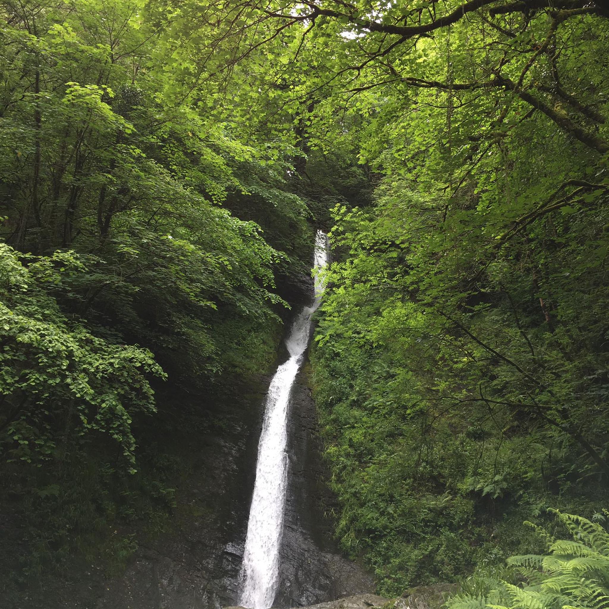
Waterfall hikes in Devon
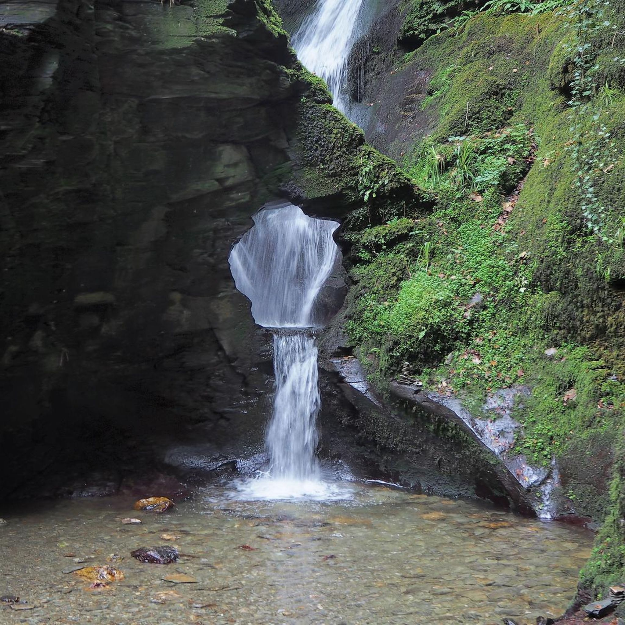
Waterfall hikes in Cornwall

Waterfall hikes in Wiltshire

Waterfall hikes in South Gloucestershire

Waterfall hikes in Bath and North East Somerset

Waterfall hikes around Tintagel

Waterfall hikes in Somerset
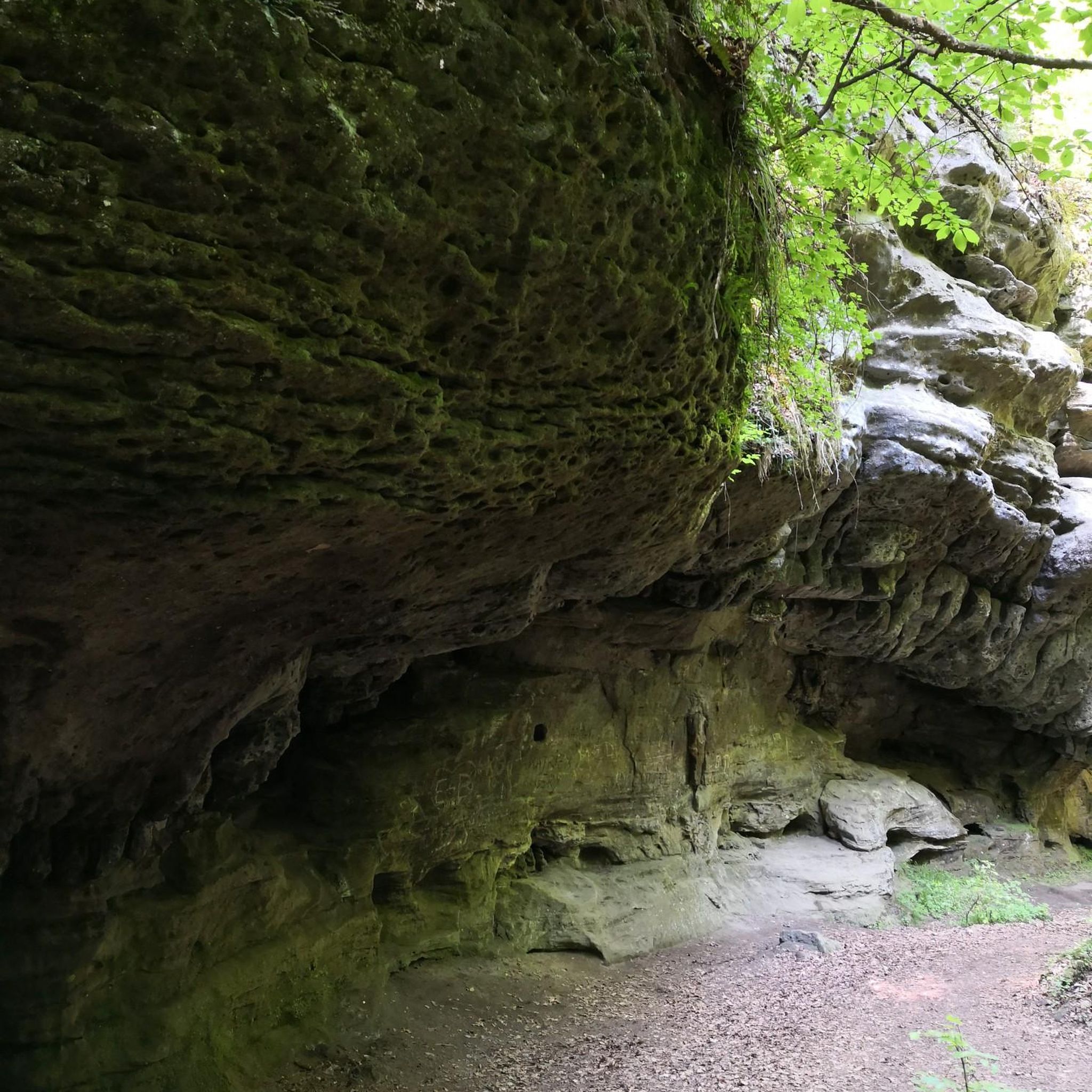
Waterfall hikes around St. Cleer
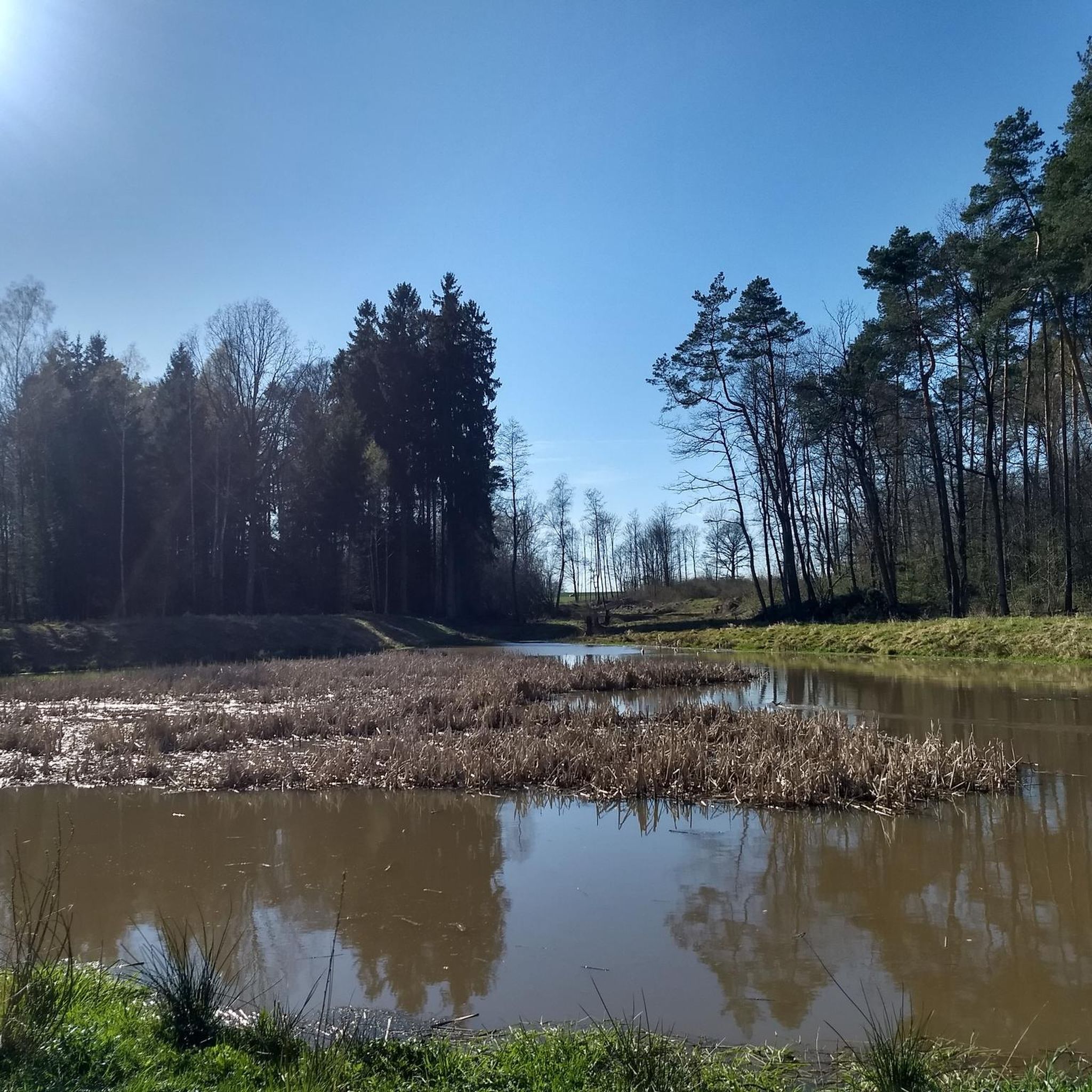
Waterfall hikes around St. Neot

Waterfall hikes around City of Bristol
Other adventures in South West England


Tips from the Community

The view of the Tintagel Castle bridge is one of the most impressive feats of modern architecture combined with historical landscape in Cornwall. The bridge spans a gorge eighty meters deep, connecting the mainland directly to the historic Tintagel Head peninsula. From the surrounding cliff paths, you can see how the bridge's sleek, steel design ingeniously leaves a small gap in the middle, symbolizing the historical separation between the two rock masses. The contrast between the clean, contemporary construction and the centuries-old medieval castle ruins surrounding it creates a spectacular sight. Down in the depths, you can see the wild waters of the Atlantic Ocean crashing against the steep cliffs, while on the horizon, you have a sweeping view of the rugged coastline. It is a fantastic sight that beautifully brings together the impressive nature and rich history of this legendary place.
0
0
The views of Tintagel Castle offer one of the most immersive and legendary panoramas of the English coast. The remains of the medieval castle, inextricably linked to the myth of King Arthur, are dramatically spread across the mainland and a rugged peninsula surrounded by the sea. From the surrounding cliff paths of the South West Coast Path, you get a fantastic view of the steep granite rock faces, the deep gorge, and the iconic footbridge connecting the mainland to the island. Below in the depths, you can see the turquoise water of the Atlantic Ocean crashing against the cliffs, giving the location a wild and historic atmosphere. The scenery changes constantly with the light and weather. In sunny weather, the dark rocks and historic walls contrast beautifully with the azure sea, while mist and splashing sea foam transform the place into a mystical and fairytale-like landscape reminiscent of ancient Cornish legends.
0
0
A wish tree logbook is a special and personal document in which the wishes, thoughts, and dreams that people hang on a wish tree are collected. It serves as a tangible reminder of special moments, celebrations, or events. In the logbook, the individual tickets or ribbons hung on the tree are often bundled or transcribed. This often happens at events such as weddings, anniversaries, memorial gatherings, or cultural festivals. It provides a wonderful and often moving overview of what visitors or loved ones wish each other and the future. In addition to the literal texts of the wishes, such a logbook often includes space for photos of the wish tree itself, atmospheric images of the event, and short stories about the origin of the tradition. It thus forms a valuable historical document that can be reread years later with great joy and emotion.
0
0
The Rocky Valley Waterfall is one of the most enchanting natural wonders on the north coast of Cornwall, situated in a narrow, steep gorge between Tintagel and Boscastle. The River Trevillet flows here through the wooded valley and tumbles down over the dark rocks via a series of fairytale-like waterfalls, on its way to the ocean. Walking through the valley, you will follow a winding path alongside the babbling stream, surrounded by moss, eroded rock faces, and dense vegetation. Halfway along the route, you will pass the ruins of ancient watermills, where mysterious labyrinthine inscriptions have been carved into the rock face, possibly dating back to the Bronze Age. Eventually, as the valley opens out to the Atlantic Ocean, the sweet stream water and the salty seawater meet dramatically between cliffs several metres high. It is an idyllic and soothing place that perfectly showcases the wild beauty of the English coastal landscape.
0
0
The Ladies Window arch is a spectacular, natural rock arch in granite along the rugged north coast of Cornwall, located near the village of Trevalga and a stone's throw from Tintagel. From the iconic South West Coast Path, you have a beautiful view down onto this remarkable geological formation. Through the continuous erosion of the powerful Atlantic Ocean, an opening has been worn into the steep cliffs that acts as a natural window. Through this rock arch, you get an idyllic glimpse of the crashing waves and the clear seawater below in the cove. According to local legend, the rock arch owes its charming name to ladies from Victorian times. They would walk in their long dresses to this specific spot on the cliffs to enjoy the spectacular sea view, sheltered from the harsh wind. Today, it remains one of the most photogenic resting points along the hiking route between Boscastle and Tintagel.
0
0

The lower basin of the waterfall is wonderful for a refreshment.
0
0

Frequently Asked Questions
How many waterfall hiking trails are available in South West England?
South West England offers a wide selection of waterfall hiking trails, with over 100 routes listed on komoot. These trails cater to various fitness levels, from easy strolls to more challenging treks, ensuring there's something for everyone to explore the region's cascades.
Are there easy waterfall hikes suitable for families in South West England?
Yes, there are many family-friendly options. For instance, the Lydford Castle & Whitelady Waterfall loop of Lydford Gorge is an easy 3.4-mile trail in Dartmoor National Park, perfect for a leisurely outing. Many trails in the region are designed to be accessible and enjoyable for all ages.
What is the best time of year to visit waterfalls in South West England?
The best time to experience the waterfalls in South West England is typically during or after periods of significant rainfall, especially in autumn, winter, and early spring. This ensures the waterfalls are at their most impressive. However, the region's natural beauty makes it a great hiking destination year-round, with lush greenery in summer and vibrant colours in autumn.
Are there any dog-friendly waterfall trails in South West England?
Many trails in South West England are dog-friendly, allowing you to bring your canine companion along. It's always recommended to check specific trail guidelines or local signage for any restrictions, especially in nature reserves or areas with livestock. Generally, trails like the Golitha Falls and Siblyback Lake Trail are popular choices for dog walkers.
What kind of terrain can I expect on waterfall hikes in South West England?
The terrain varies significantly across South West England. You can expect everything from well-maintained paths in areas like Lydford Gorge to rugged coastal trails with steep ascents and descents, such as those leading to Spekes Mill Mouth Waterfall. Inland, trails might traverse ancient woodlands, open moorlands like Dartmoor, or follow river valleys. Always wear appropriate footwear for potentially uneven or slippery surfaces.
Are there any circular waterfall walks in the region?
Yes, many waterfall trails in South West England are designed as circular routes, offering a convenient way to explore without retracing your steps. The Lydford Castle & Whitelady Waterfall loop is a prime example of a popular circular trail, allowing you to fully immerse yourself in the natural beauty of the area.
What are some notable natural features or landmarks near these waterfall trails?
Beyond the waterfalls themselves, South West England boasts a wealth of natural features. Near many trails, you might encounter dramatic granite tors like Haytor Rocks or Hound Tor on Dartmoor. Coastal trails often offer views of rugged cliffs and charming harbours such as St Ives Harbour or Padstow Harbour. The region's diverse landscapes include expansive moorlands, ancient woodlands, and picturesque river valleys.
Can I find amenities like cafes or pubs near waterfall hiking routes?
Many popular waterfall hiking areas in South West England are located near charming villages or towns that offer amenities. You can often find traditional pubs, cafes, and even accommodation options within a short distance of trailheads. For example, the area around Lydford Gorge provides facilities for visitors, and coastal routes often pass through seaside communities.
What do other hikers enjoy most about waterfall hikes in South West England?
The komoot community highly rates the hiking experience in South West England, with an average score of 4.6 stars from over 27,000 reviews. Hikers frequently praise the region's diverse and stunning natural beauty, the impressive power of the waterfalls, and the variety of trails that cater to all abilities. The combination of coastal drama, moorland wilderness, and lush river valleys makes for memorable adventures.
Are there any challenging waterfall hikes for experienced hikers?
While many trails are moderate or easy, South West England does offer more challenging options for experienced hikers. Some coastal paths leading to waterfalls, such as sections around Spekes Mill Mouth Waterfall, involve significant elevation changes and rugged terrain. These routes provide a rewarding challenge with breathtaking views.
Is public transport available to reach waterfall hiking trails?
Public transport options vary depending on the specific waterfall location. While some popular sites might have bus routes, many of the more secluded trails in areas like Dartmoor or Exmoor are best accessed by car. It's advisable to research public transport links for your chosen trail in advance, as services can be limited, especially in rural areas.
Most popular routes in South West England
Most popular attractions in South West England

Get inspired with the komoot mobile app


Didn’t find what you were looking for?
Check out more Hikes throughout South West England below and find the perfect route in your destination.
Explore more
Browse the best Hikes in other regions.
