The best road cycling routes around Haigerloch
4.5
(507)
7,877
riders
38
rides
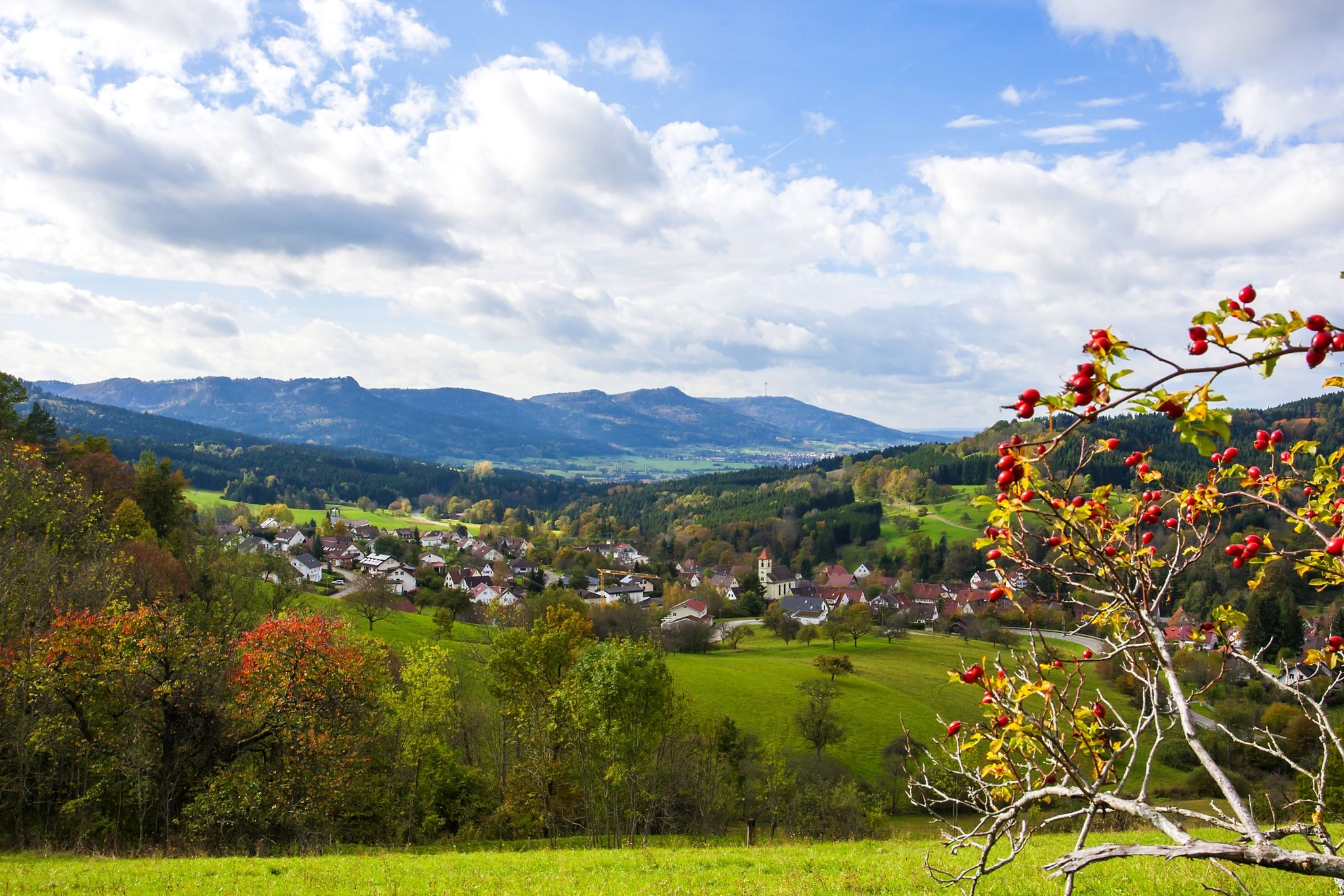
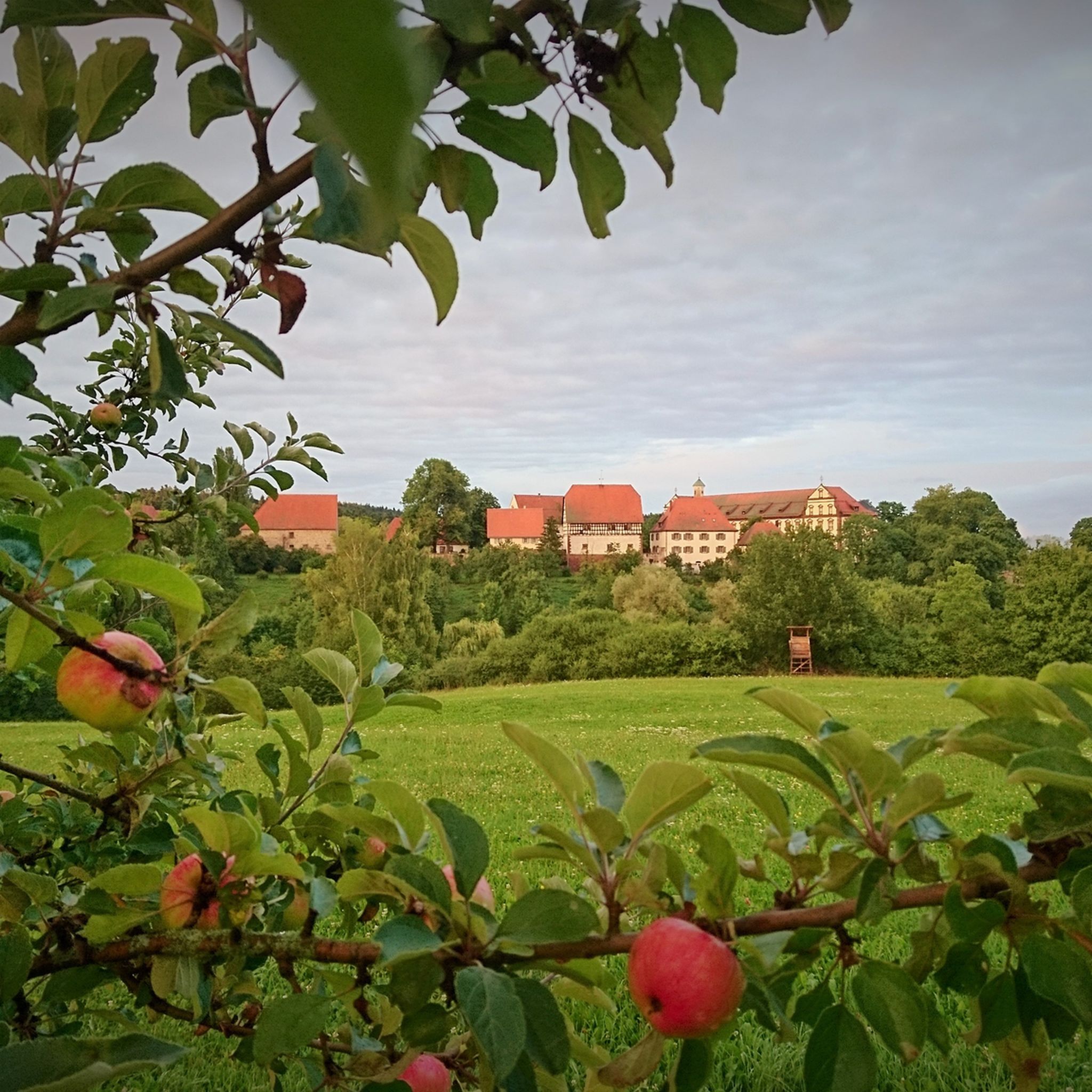
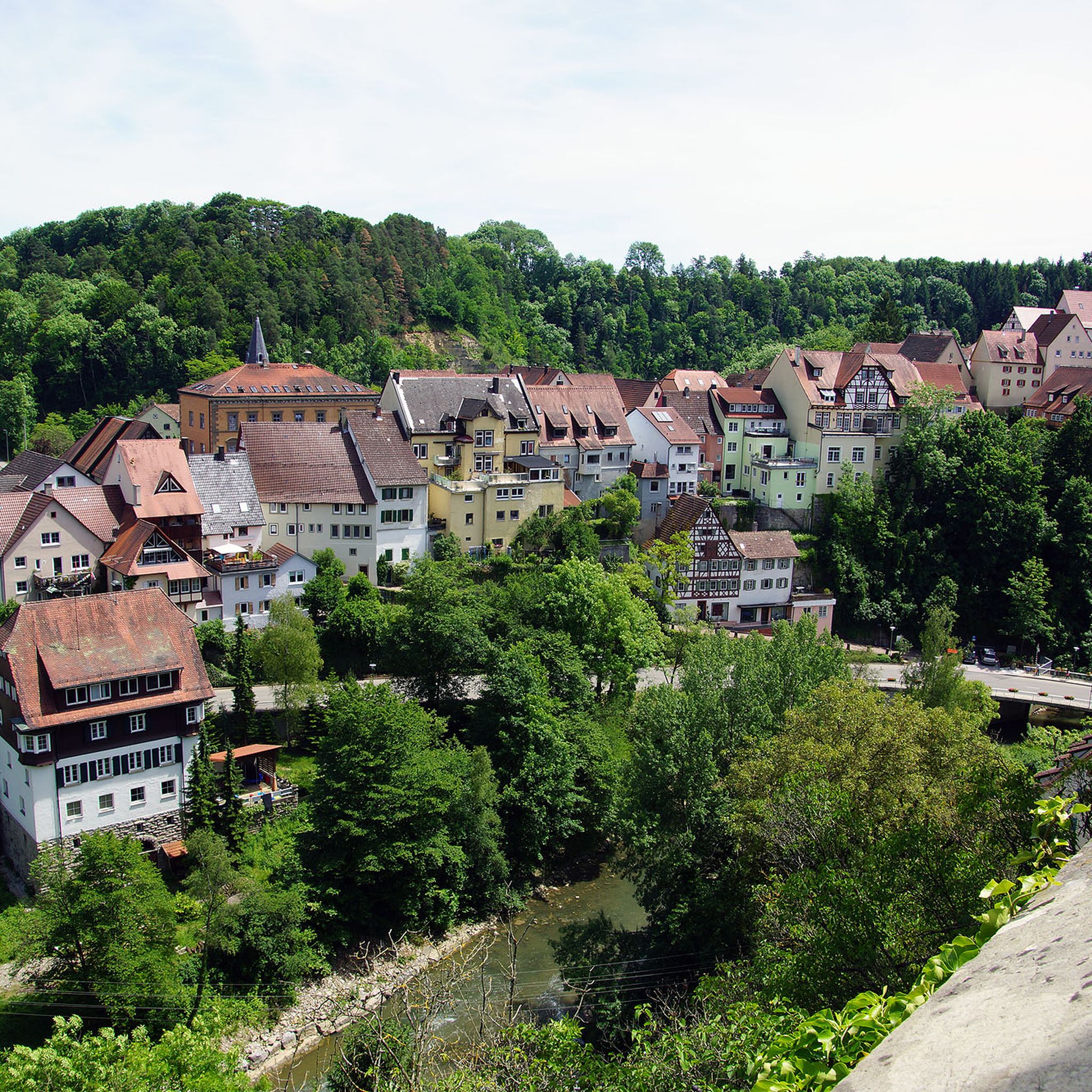
Road cycling around Haigerloch offers diverse landscapes within Baden-Württemberg, Germany, characterized by picturesque valleys and varied topography. The region is part of the broader Swabian Alb, featuring cliffs, forests, and a rich biodiversity. Cyclists can explore romantic valleys and dense forests, with routes often incorporating historical attractions like Haigerloch Castle. The area provides a network of mostly paved surfaces suitable for road cycling.
Best road cycling routes around Haigerloch
- The most popular road cycling route is Lochen Pass – Schlichem…
Last updated: July 5, 2026
30
riders
68.5km
03:20
770m
770m
Moderate road ride. Good fitness required. Some segments of this route may be unpaved and difficult to ride.
26
riders
Hard road ride. Very good fitness required. Mostly well-paved surfaces and easy to ride.

Sign up for free
4.0
(1)
27
riders
59.1km
02:55
700m
700m
Moderate road ride. Good fitness required. Mostly well-paved surfaces and easy to ride.
24
riders
27.6km
01:24
360m
360m
Moderate road ride. Good fitness required. Some segments of this route may be unpaved and difficult to ride.
5.0
(4)
21
riders
55.1km
02:44
750m
750m
Moderate road ride. Good fitness required. Mostly well-paved surfaces and easy to ride.
Get access to more routes and recommendations from other explorers.
Sign up for free
Already have an account?
Our route recommendations are based on thousands of hikes, rides, and runs completed by other people on komoot.
Start today with a free account
Your next adventure awaits.
Login or Signup
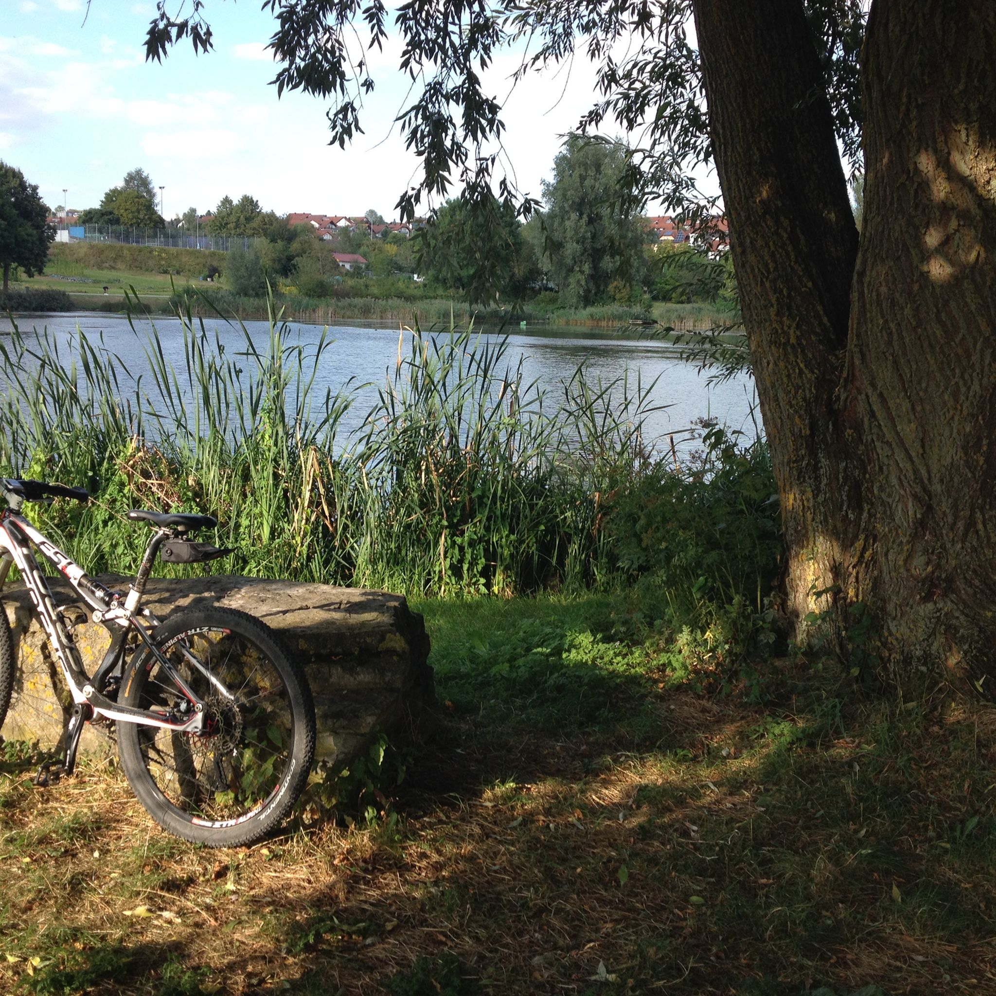
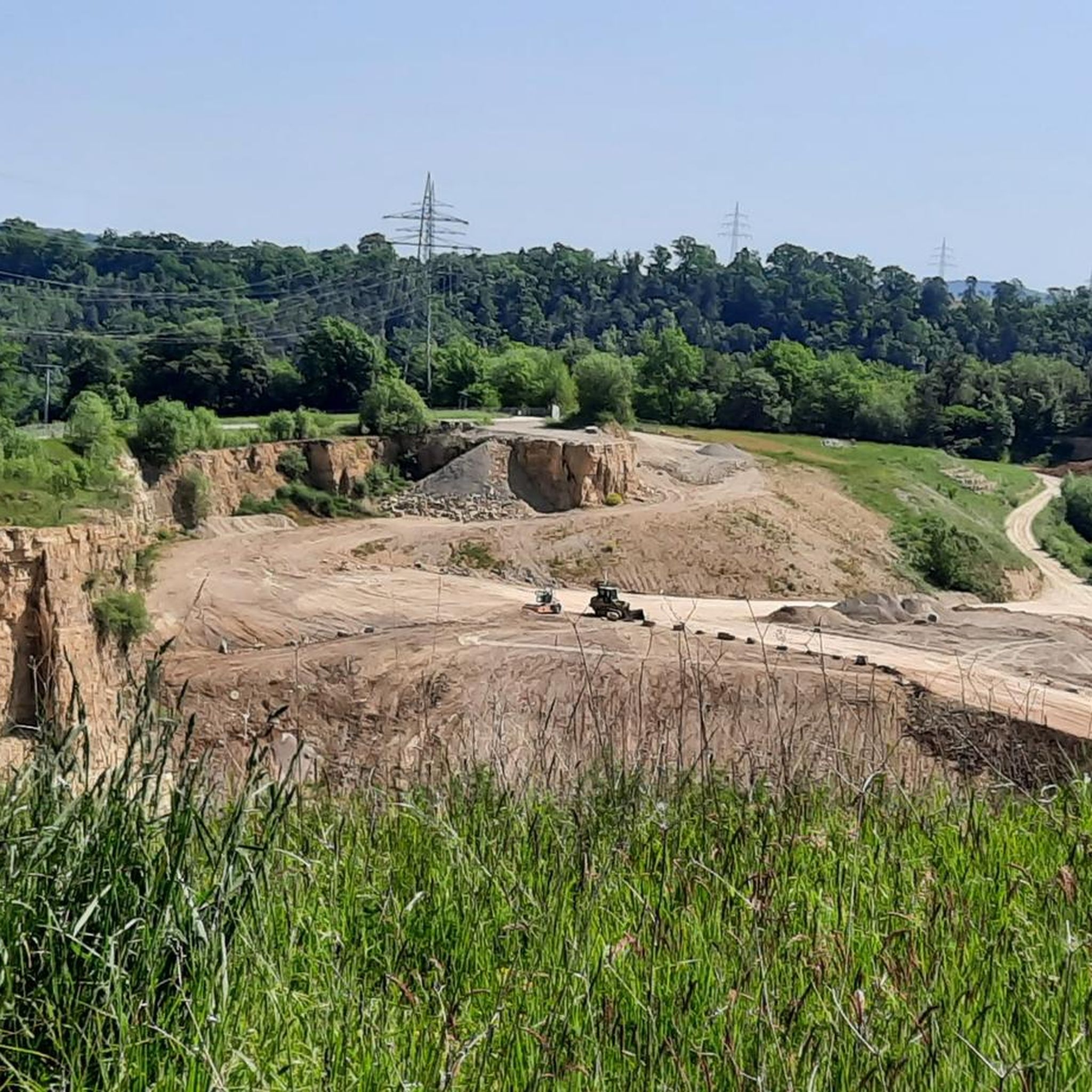
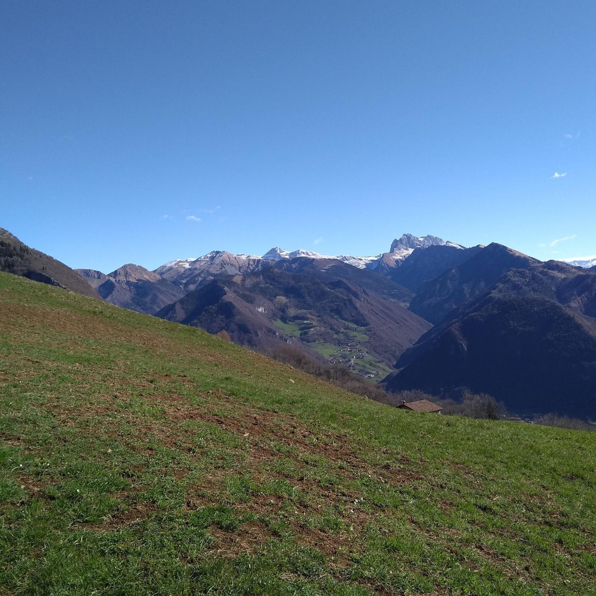


Tips from the Community

Small climb from Thanheimer to Onstmettingen, most enjoyable when there isn't much traffic.
0
0

The Haigerloch Castle, also called Römerturm, Oberstadtturm, Oberer Turm or Hoher Turm, is the remains of a hilltop castle on a narrow, elongated rocky spur 462 m above sea level, to the left of the Eyach river in the Oberstadt (upper town) of Haigerloch in the Zollernalb district of Baden-Württemberg. The castle was built around 1000 by the Lords of Haigerloch and mentioned in 1095 as „castrum Haigerloch“, expanded in the 12th century and destroyed in the 13th century. Former owners of the castle also included the Counts of Hohenberg and the Princes of Hohenzollern-Sigmaringen. The city of Haigerloch has owned the complex since 1974. Its current form was given to the tower, which previously had a half-timbered superstructure with a hipped roof, between 1744 and 1746 by the Haigerloch master builder Christian Großbayer on the occasion of its conversion into a bell tower for the Oberstadtkirche St. Ulrich, located just a few meters away, which was demolished in 1839. The „Römerturm“ has no relation to Roman times, but is a Romanesque structure. The square ashlar construction of the keep has a height of 19.5 meters up to the surrounding parapet on the viewing platform, with a high entrance at a height of 10.5 meters, on a base area of 10.8 by 10.8 meters, with a wall thickness of 3.4 to 3.6 meters. After extensive renovation of the octagonal tower superstructure, the bells have been in operation again since summer 2016, and the tower is accessible as a viewing tower. Source: https://de.wikipedia.org/wiki/Burg_Haigerloch
2
0
The Schlichemtalsperre (also known as Schömberger Stausee, mostly just called Stausee locally) east of Schömberg in Baden-Württemberg dams the Schlichem, a tributary of the Neckar coming from the Swabian Jura. The 90.6 ha Schömberger Stausee mit Palmbühl landscape protection area surrounds the Schlichemtalsperre. The approximately 1.35 km long and initially narrow reservoir, widening to about 175 m towards the end, with an area of 10.4 ha at 643.8 m above sea level (NHN), begins at the hamlet of Untere Säge and extends to the old town center of Schömberg. It has a catchment area of about 33.5 km², to which the Schlichem, over 11 km long at its inflow, contributes almost 90%. The watercourses Hölzlegraben from the forest to the right of the lake and Scheubühlgraben and Räßentälebach from the left, up to 1.2 km long, flow into it from the sides. A fish ladder leads from the Vorsee pre-reservoir near Untere Säge to the reservoir. There is also the only bridge over the lake that can be walked and driven on. The Schlichem Viaduct can only be used by the railway. The Schlichemtalsperre was built between 1940 and 1944. The Portlandzementwerk Rudolf Rohrbach KG (today Holcim (Süddeutschland) GmbH), based in neighboring Dotternhausen, which was the client for the dam, initially used it for cooling water supply and power generation. An outdoor swimming pool built in 1935 was flooded. After World War II, the facility was taken over by the state of Württemberg-Hohenzollern in 1948. The reservoir was renovated from 1975 to 1983. The barrier structure is an earth dam, and the hydropower plant within it has an output of 60 kW. There is a pre-reservoir, the Vorsee, which was built from 1975 to 1977. Source: https://de.wikipedia.org/wiki/Schlichemtalsperre
1
0
Beautiful view of Haigerloch Castle 🏰 and the lower town church of St. Nicholas ⛪ - Haigerloch - Zollernalb district
0
0

St. Anna Church has fixed opening hours: Mon.-Wed. 8:00-12:00 14:00-17:00 Thurs.-Fri. 8:00-12:00 Sat.-Sun. Closed
10
0
Information board hiking map: Hiking 🥾 in Heiligenzimmern - Zollernalb district
0
0

A gentle climb from Dettingen in the Neckar Valley to Dettlingen. The surface has seen better days, but is still acceptable. It's nice and quiet here.
0
0

The church is located directly above (Oberstadtstrasse) on the through road of Haigerloch
6
1
Frequently Asked Questions
How many road cycling routes are available around Haigerloch?
There are over 35 road cycling routes around Haigerloch, offering a diverse range of options for cyclists. These include routes of varying difficulty, from moderate to difficult, ensuring there's something for every skill level.
What is the general terrain like for road cycling in Haigerloch?
The terrain around Haigerloch is characterized by picturesque valleys and a varied topography. You'll find mostly paved surfaces, ideal for road cycling, with routes winding through romantic valleys and dense forests. The region is part of the broader Swabian Alb, known for its unique landscapes.
What are the difficulty levels of road cycling routes in Haigerloch?
Road cycling routes in Haigerloch cater to various fitness levels. While there are a few easy routes, the majority are moderate (around 30 routes), and a few are more challenging (around 4 routes), featuring significant elevation gains. For example, the View of the A81 Bridge – View of the Neckar and Mühlen loop from Haigerloch is considered difficult.
When is the best time of year for road cycling in Haigerloch?
Baden-Württemberg, where Haigerloch is located, generally offers pleasant cycling conditions from spring through autumn. The diverse landscapes are particularly beautiful during these seasons, allowing you to enjoy the natural features and historical sites. Always check local weather forecasts before heading out.
Are there any historical landmarks or castles to see along the road cycling routes?
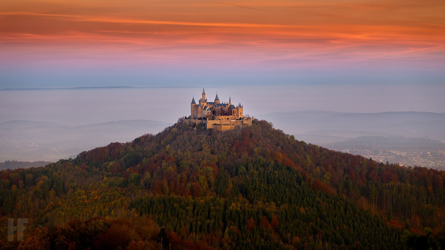
Yes, Haigerloch is rich in historical attractions. You can integrate visits to places like Haigerloch Castle (Schloss Haigerloch), a 13th-century complex, into your rides. The castle grounds are freely accessible and offer beautiful views. The View of Burg Hohenzollern – Starzelufer loop from Haigerloch offers views of the impressive Hohenzollern Castle. Additionally, the Atomkeller-Museum is located directly beneath the Schlosskirche.
What natural features can I expect to see while road biking in Haigerloch?
The region boasts diverse natural beauty. You can expect to cycle through scenic areas like the Stunzach Valley and the Eyach floodplain. The broader Swabian Alb features cliffs, forests, and rich biodiversity. The Zeller Horn offers magnificent panoramic views, especially of Hohenzollern Castle.
Can I find waterfalls near the road cycling routes in Haigerloch?
Yes, there are several beautiful waterfalls in the vicinity of Haigerloch that you might consider visiting. Notable ones include the Zillhausen Waterfall, Roschbach Waterfall, and the Eyach Waterfall at Balingen Castle. These can make for interesting detours or destinations on your cycling trips.
Are there circular road cycling routes available?
Many of the road cycling routes around Haigerloch are designed as loops, allowing you to start and end in the same location. For instance, the popular Lochen Pass – Schlichem Dam loop from Haigerloch and the View of Haigerloch – View of Heiligenzimmern loop from Haigerloch are excellent circular options.
Are there longer distance road cycling routes available?
Yes, for those seeking longer rides, Haigerloch offers several routes that cover significant distances. The View of the A81 Bridge – View of the Neckar and Mühlen loop from Haigerloch is a challenging 51.7-mile (83.2 km) path, while the Lochen Pass – Schlichem Dam loop from Haigerloch is a moderate 42.6-mile (68.5 km) route. Baden-Württemberg also features an extensive network of over 5,000 km of cycling paths, including 21 long-distance routes, if you wish to explore further afield.
What do other cyclists say about road biking in Haigerloch?
The road cycling routes around Haigerloch are highly rated by the komoot community, with an average score of 5.0 stars from 8 reviews. Over 300 road cyclists have used komoot to explore the varied terrain, often praising the picturesque valleys, diverse topography, and the blend of natural beauty with historical attractions.
Are there family-friendly road cycling options in Haigerloch?
While many routes around Haigerloch involve varied topography and some elevation, there are options suitable for families, particularly those with some cycling experience. Look for routes described as 'easy' or 'moderate' with less elevation gain. The region's extensive cycling infrastructure includes paths that can be adapted for family outings, though specific 'family-friendly' road cycling routes may require careful selection based on distance and elevation.
How can I access road cycling routes in Haigerloch using public transport?
Haigerloch is located in Baden-Württemberg, a region with good public transport connections. While specific details for bringing bikes on local buses or trains to route starting points can vary, regional train services often allow bikes outside of peak hours. It's advisable to check the local public transport provider's website for current regulations and timetables regarding bicycle transport.
Are there cafes or places to stop for refreshments along the routes?
Yes, as you cycle through the charming towns and villages around Haigerloch, you'll find opportunities to stop for refreshments. Many routes pass through or near communities where cafes, bakeries, and restaurants are available. Planning your route with komoot allows you to identify potential stops along the way to refuel and relax.
Most popular routes around Haigerloch
Most popular attractions around Haigerloch

Get inspired with the komoot mobile app


Explore more
Browse the best Road cycling routes in other regions.
