The 12 Most Amazing Peaks around Frauensee
Best mountain peaks around Frauensee are found in the Thuringian region, characterized by its forested hills and the Salzunger Werraberglands. This area offers a range of peaks, many of which feature historical sites, unique geological formations, or panoramic viewpoints. The terrain provides opportunities for exploration, with elevations typically ranging from 300 to 600 meters above sea level. These peaks are often integrated into hiking routes, providing both natural beauty and cultural interest.
Best mountain peaks around Frauensee
- The most popular…
Last updated: July 1, 2026
Öchsenberg Summit and Celtic Cross
Highlight • Summit
Translated by Google •
Tip by

Oechsenberg Hut (Öchsenberg Summit Hut)
Highlight • Mountain Hut
Translated by Google •
Tip by

Sign up now to discover places like this
Get recommendations on the best single tracks, peaks, & plenty of other exciting outdoor places.
Sign up for free
Geiskopf Blockfield and Summit
Highlight • Summit
Translated by Google •
Tip by

Krayenburg Castle Ruins
Highlight • Castle
Translated by Google •
Tip by

Öchsenberghütte (Touringen Stamping Point No. 95)
Highlight • Mountain Hut
Translated by Google •
Tip by

Sign up for free to discover even more peaks around Frauensee.
Sign up for free
Already have an account?
Start today with a free account
Your next adventure awaits.
Login or Signup
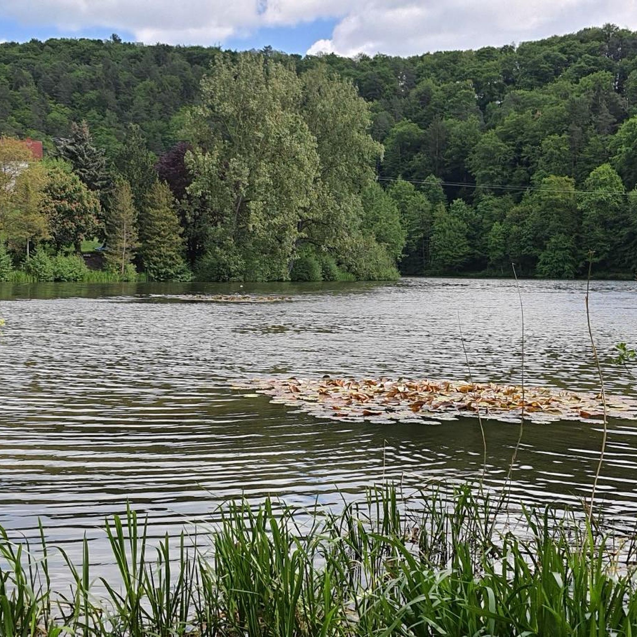
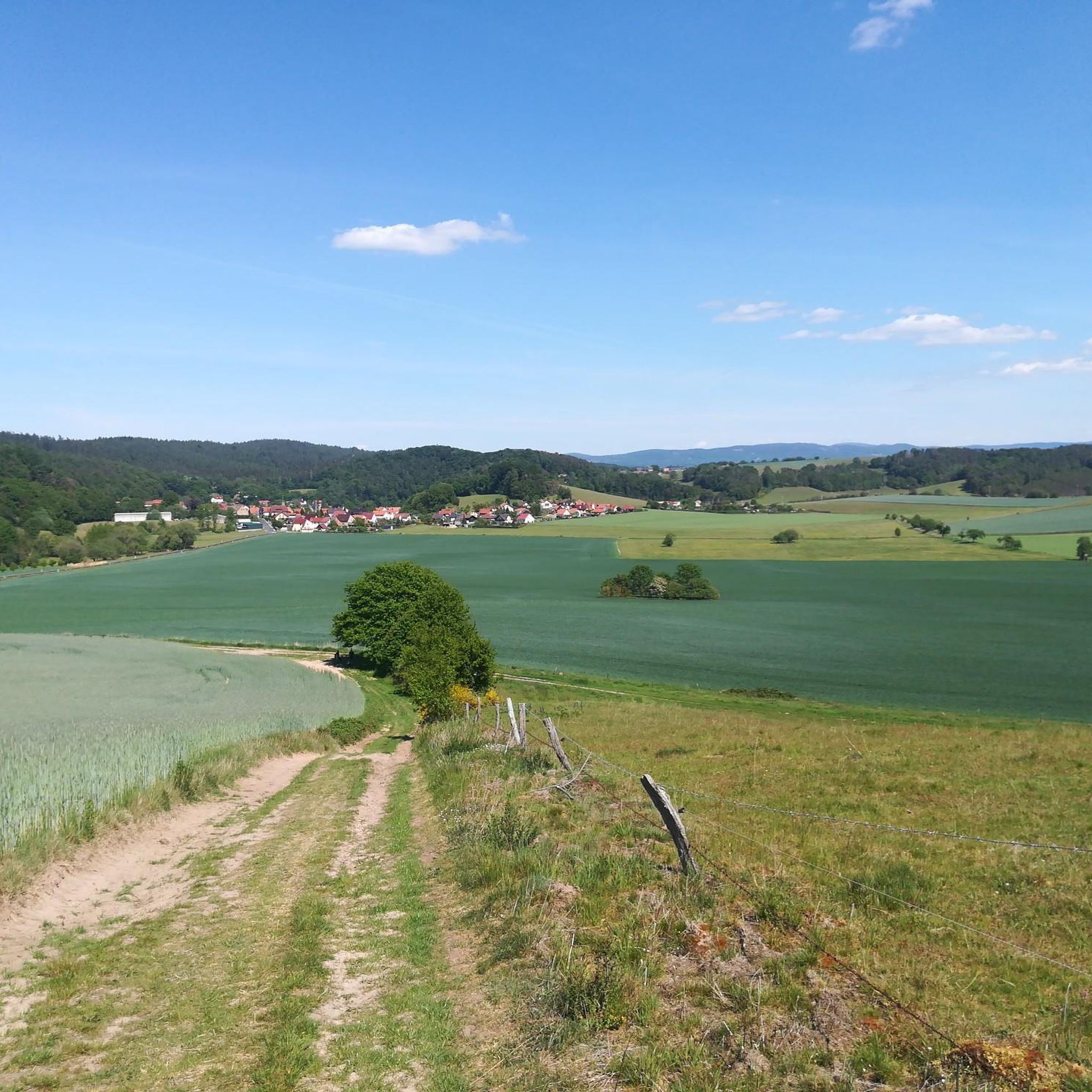
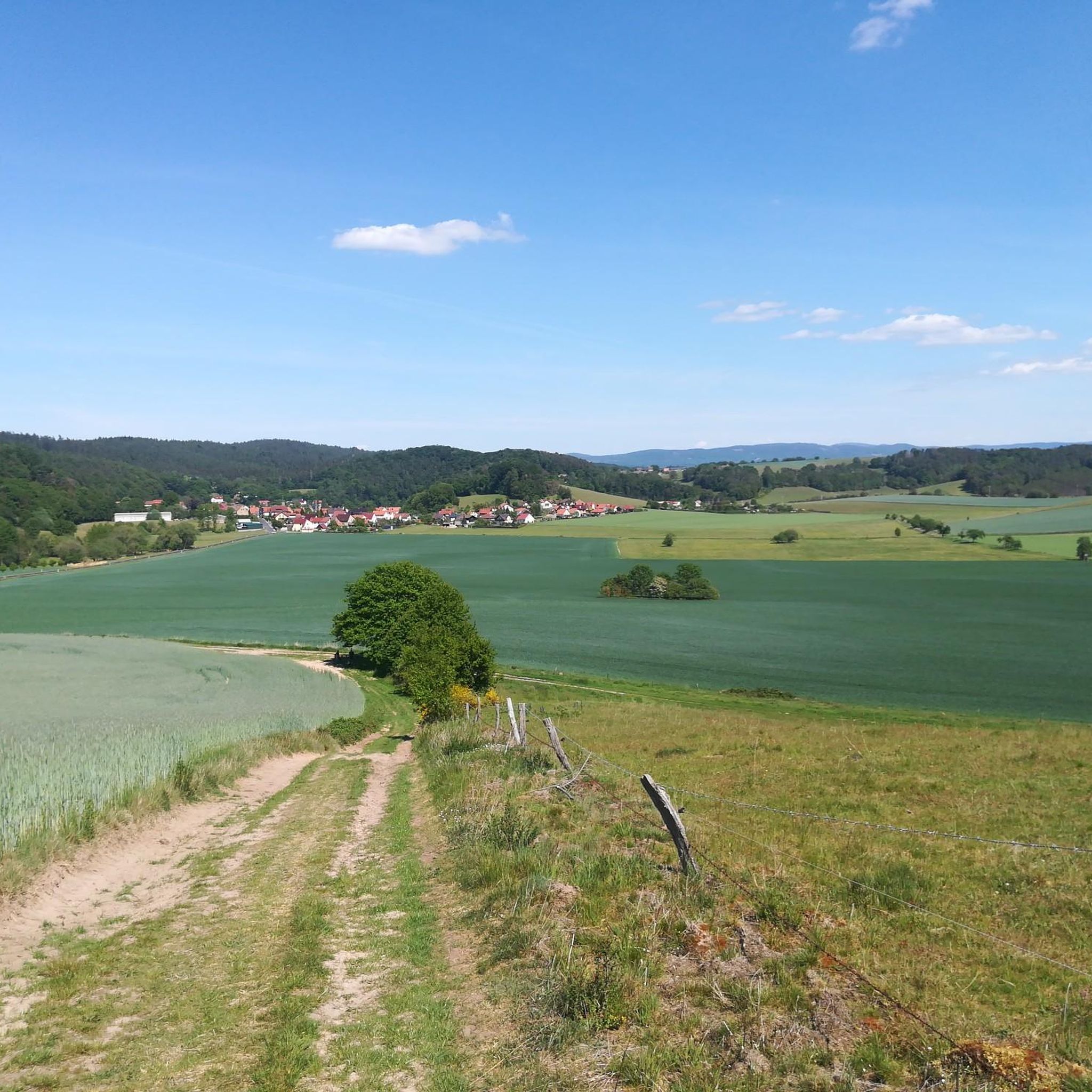
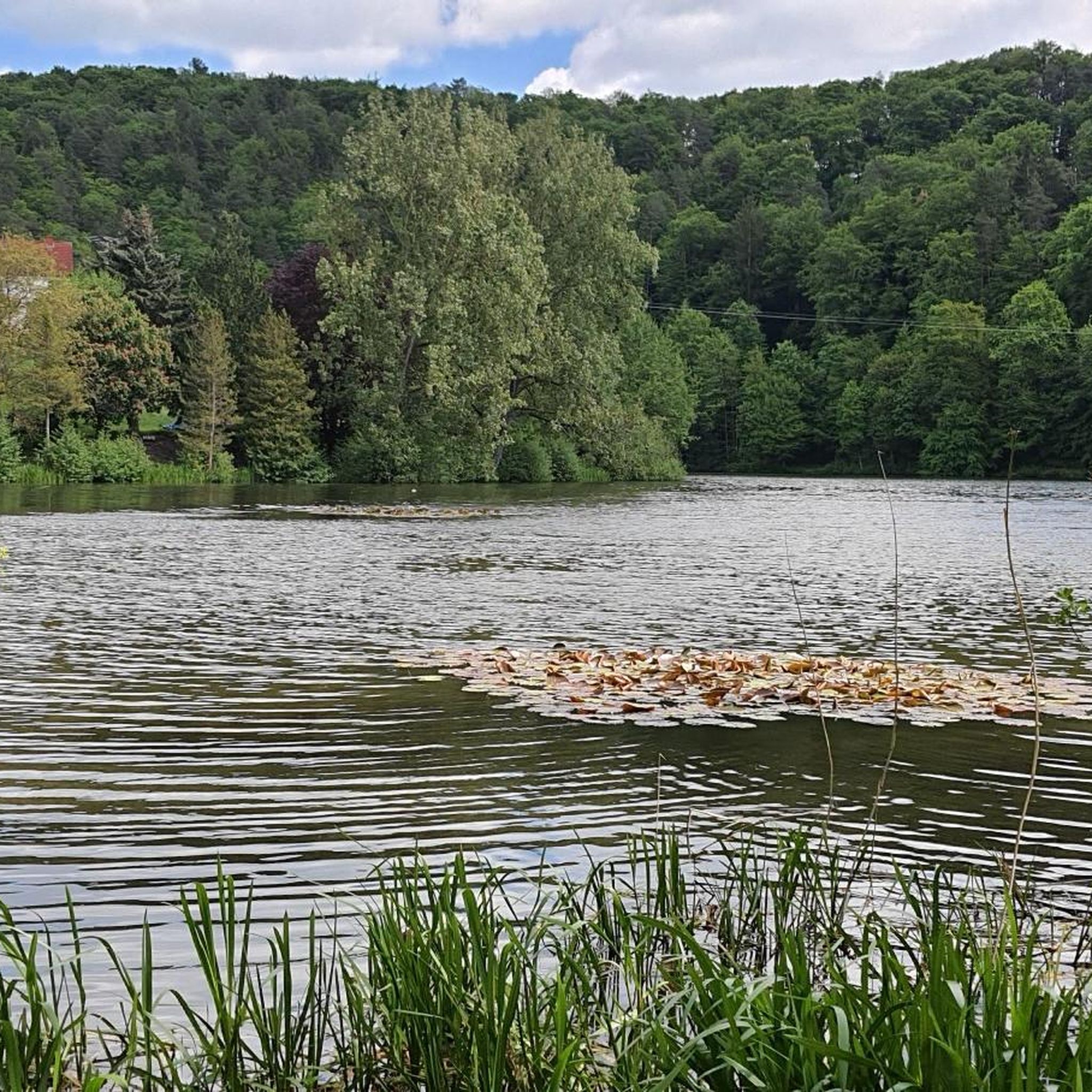
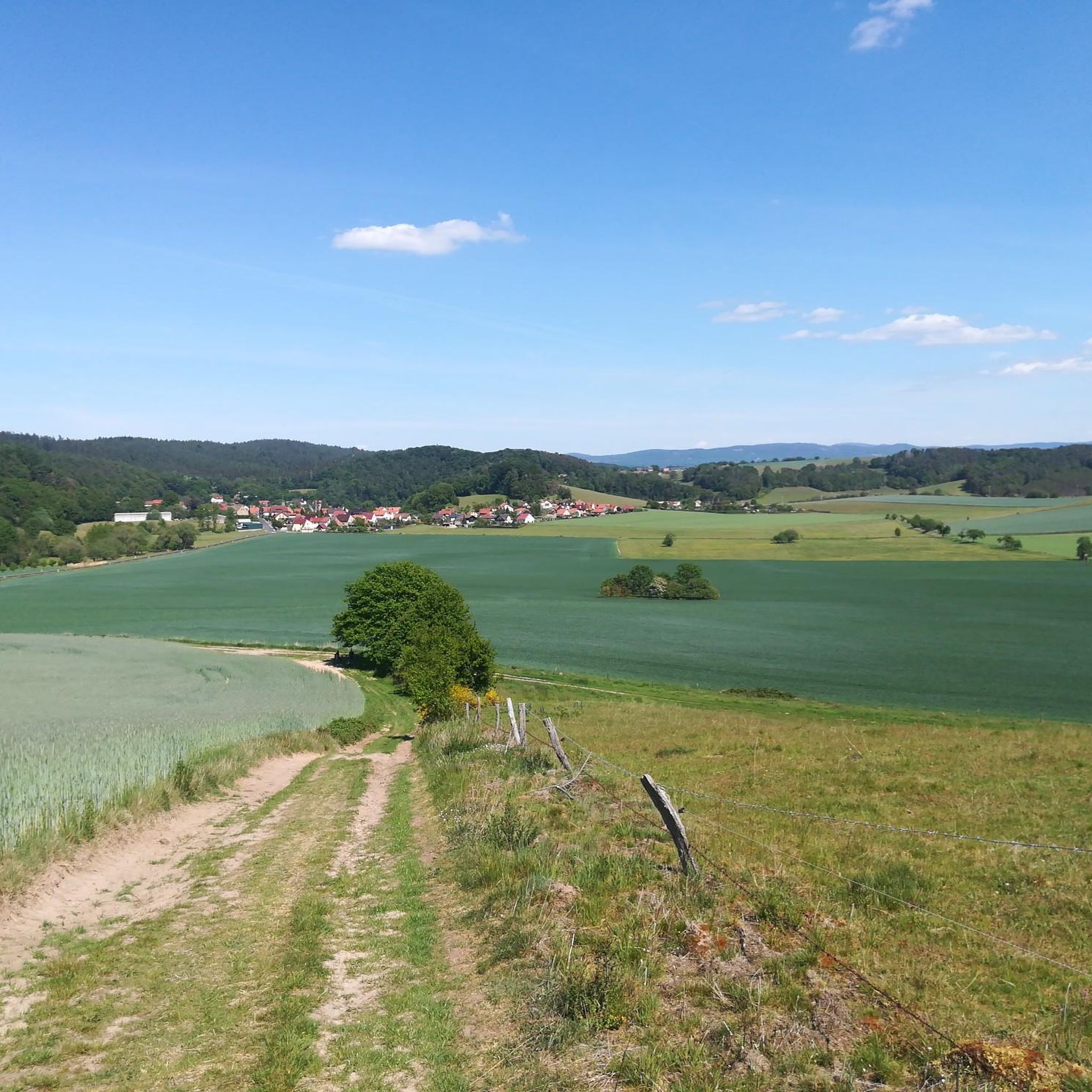
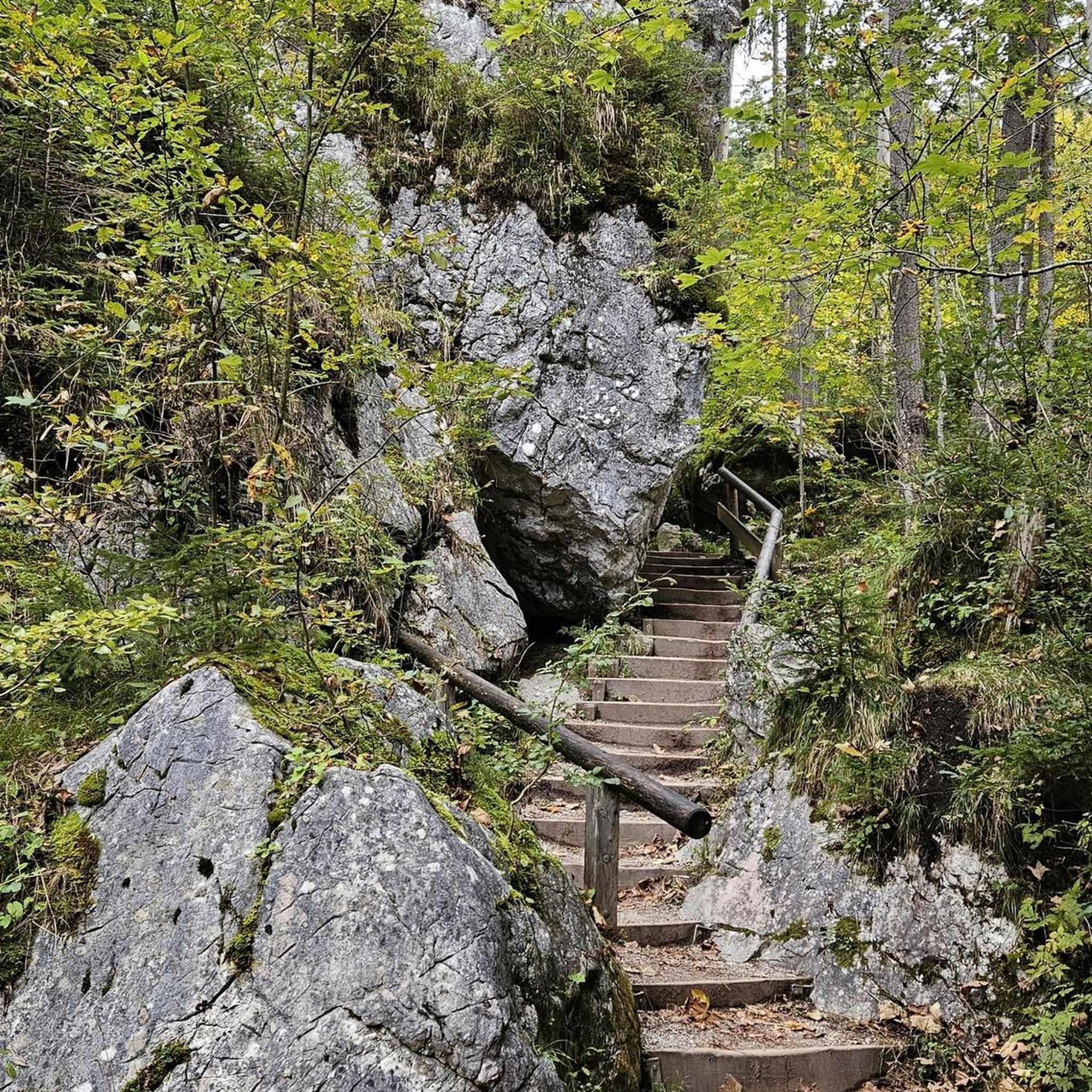
Tips from the Community

A 😎🤘 rest and party place👌Röhnclub very 😎🤘
7
0

The hut is open every Sunday from April to October, as well as on all Thuringian holidays, from 10 a.m. to 6 p.m. If the crowds that gather up here in good weather are too much and too loud for you, it's better to go up on other days.
0
0

Magnificent summit with a bench to rest and enjoy the view
1
0

Next to the ruins of the old Krayenburg is the new Krayenburg. Unfortunately, it is only open on a few weekends.
6
0
The ruins of the Krayenburg on the Krayenberg are a place with ancient history. The ruins are not directly accessible, but can be viewed.
6
0

To the west of Tiefenort, the conical hill of the 431 m high Krayenberg rises above the Werra valley. The ruins of Krayenburg castle stand on the summit
17
0

Even without catering, the Krayenburg is worth a trip. The paths are easy to hike and don't require any major skills
4
0

A sea of stones.
3
0
Frequently Asked Questions
What are some of the most popular mountain peaks to visit around Frauensee?
The region around Frauensee in Thuringia offers several popular peaks. Among them, the Öchsenberg Summit and Celtic Cross is highly regarded for its panoramic views and historical significance. Another favorite is the Geiskopf Blockfield and Summit, known for its unique geological formations and views towards the Rhön. The Krayenburg Castle Ruins also stands on a prominent peak, offering a blend of history and scenic vistas.
What kind of natural features can I expect to see on the mountain peaks near Frauensee?
The mountain peaks around Frauensee are characterized by forested hills and unique geological formations. You can explore natural monuments like the basalt columns at the Geiskopf Blockfield and Summit. The Öchsenberg Summit, for instance, was shaped by basalt mining, adding a distinct character to the landscape. Many peaks also offer expansive viewpoints over the surrounding Thuringian region.
Are there historical or cultural sites on the mountain peaks around Frauensee?
Yes, several peaks in the Frauensee area feature historical and cultural sites. The Öchsenberg Summit is home to a Celtic cross, a significant man-made monument. Additionally, the Krayenburg Castle Ruins, perched on a 431-meter-high conical hill, offers a glimpse into the region's past with its historical structures and views over the Werra valley.
What is the best time of year to hike the mountain peaks near Frauensee?
The Thuringian region around Frauensee is generally pleasant for hiking from spring through autumn. During these seasons, the weather is typically mild, and the forested hills are vibrant with greenery or autumn colors. While specific peak conditions vary, the period from April to October is often ideal for enjoying the trails and viewpoints.
Are there family-friendly hiking options among the mountain peaks?
Yes, the region offers options suitable for families. For example, the Öchsenberghütte, located on the Öchsenberg, is considered family-friendly and provides a welcoming stop with refreshments. Many of the trails leading to these peaks are intermediate in difficulty, making them manageable for active families.
What kind of hiking trails can I find near the mountain peaks around Frauensee?
You'll find a variety of hiking trails near the mountain peaks around Frauensee, ranging from easy to moderate difficulty. For instance, you can explore routes like the 'Bench at the Five Lindens – Frauensee Castle loop' which is an easy 6 km hike, or the 'Josupeit's Ruh Shelter – Bench at the Five Lindens loop' which is a moderate 9.5 km trail. These trails often connect various viewpoints and natural features. You can find more details on these and other routes in the Hiking around Frauensee guide.
What do visitors enjoy most about the mountain peaks around Frauensee?
Visitors frequently praise the panoramic views from the summits, the unique natural features like basalt formations, and the historical sites. Many appreciate the well-maintained huts, such as the Oechsenberg Hut, which offer refreshments and a place to rest. The combination of natural beauty, cultural interest, and accessible hiking routes makes the area a popular destination.
Are there places to eat or stay near the mountain peaks?
Yes, you can find amenities near some of the peaks. The Oechsenberg Hut and Öchsenberghütte on the Öchsenberg are known for offering food and drinks on weekends and public holidays during the season. While the Krayenburg Castle Ruins once housed a restaurant, it is currently closed. For broader options, nearby towns like Tiefenort and Bad Salzungen offer various cafes, pubs, and accommodation.
What other outdoor activities can I do near the mountain peaks around Frauensee?
Beyond hiking, the Frauensee region offers opportunities for cycling. You can explore various routes, including touring bicycle trails like the 'Bad Salzungen Graduation Tower – Werra Cycle Route loop' (a moderate 63 km ride) or road cycling routes such as the 'Werra Bridge Dorndorf – View of Krayenberg loop' (an easy 29 km ride). More details on these activities can be found in the Cycling around Frauensee and Road Cycling Routes around Frauensee guides.
What are the typical elevations and difficulties of the mountain peaks and trails in this region?
The mountain peaks around Frauensee in Thuringia are generally forested hills, with elevations typically ranging from 300 to 600 meters above sea level. For instance, the Krayenberg stands at 431 meters, while the Geiskopf reaches 626 meters. The hiking trails in the area are mostly classified as easy to intermediate, making them accessible for a wide range of hikers.
Are there any specific regulations or permits needed for hiking the mountain peaks?
Generally, no specific permits are required for hiking the public trails and mountain peaks around Frauensee. However, it's always advisable to respect local regulations, stay on marked paths, and be mindful of any protected natural areas. Information boards are often available at trailheads providing details on local rules.
Can I bring my dog on the hiking trails to the mountain peaks?
Many hiking trails in the Frauensee region are dog-friendly, allowing you to enjoy the outdoors with your canine companion. It's always recommended to keep dogs on a leash, especially in nature protection areas or near wildlife, and to clean up after them. Specific rules may vary by trail or protected area, so look for signage.
Most popular routes around Frauensee
Most popular attractions around Frauensee

Get inspired with the komoot mobile app


Explore more
See even more amazing summits around Frauensee with these guides:
