The best waterfall hikes and walks in Weilheim-Schongau
4.5
(14916)
74,404
hikers
44
hikes
Waterfall hiking trails in Weilheim-Schongau are set amidst the diverse landscapes of Bavaria, characterized by the foothills of the Bavarian Alps. The region features rolling hills, extensive forests, and unique moorland areas. Numerous pristine lakes like Ammersee and Lake Starnberg, along with the Ammer and Lech rivers, also contribute to the varied terrain. This geographical composition provides a range of natural features for hikers to explore.
Best waterfall hiking trails in Weilheim-Schongau
- The most popular waterfall hiking route is Schnalzberg…
Last updated: July 4, 2026
4.7
(158)
586
hikers
Moderate hike. Good fitness required. Mostly accessible paths. Sure-footedness required.
4.1
(70)
233
hikers
Moderate hike. Good fitness required. Mostly accessible paths. Sure-footedness required.

Sign up for free
4.7
(24)
101
hikers
Moderate hike. Good fitness required. Mostly accessible paths. Sure-footedness required.
4.5
(63)
190
hikers
Easy hike. Great for any fitness level. Easily-accessible paths. Suitable for all skill levels.
4.6
(49)
162
hikers
14.2km
03:52
210m
210m
Moderate hike. Good fitness required. Easily-accessible paths. Suitable for all skill levels.
Get access to more routes and recommendations from other explorers.
Sign up for free
Already have an account?
Our route recommendations are based on thousands of hikes, rides, and runs completed by other people on komoot.
Start today with a free account
Your next adventure awaits.
Login or Signup
Popular around Weilheim-Schongau

Waterfall hikes in Ammertal Im Bereich Der Ammerleite Und Talbachhänge

Waterfall hikes in Steilhalden Und Flussauen Des Lechs Zwischen Kinsau Und Hohenfurch

Waterfall hikes in Lechabschnitt Hirschauer Steilhalde - Litzauer Schleife

Waterfall hikes in Moore Um Die Wies
Waterfall hikes around Zellsee
Waterfall hikes around Gallaweiher
LechErlebnisWeg – multi-day Tour from Landsberg to Füssen

The Romantic Road – To the Pearls of Southern Germany
Ammergau Alps meditation path in Bavaria – Breathe in, breathe out
Sacred Landscape Pfaffenwinkel
Other adventures in Weilheim-Schongau


Tips from the Community

Schnalz 901m above sea level Alpine panorama
1
0

A bit suicidal, the way back is currently very difficult to walk on.
0
0

Beautiful Ammer weir, over which the Ammer rushes down
3
0

A little sense of adventure
0
0

Here is the start into the wonderful Ammertal
0
0

not far from the hiking car park
0
0

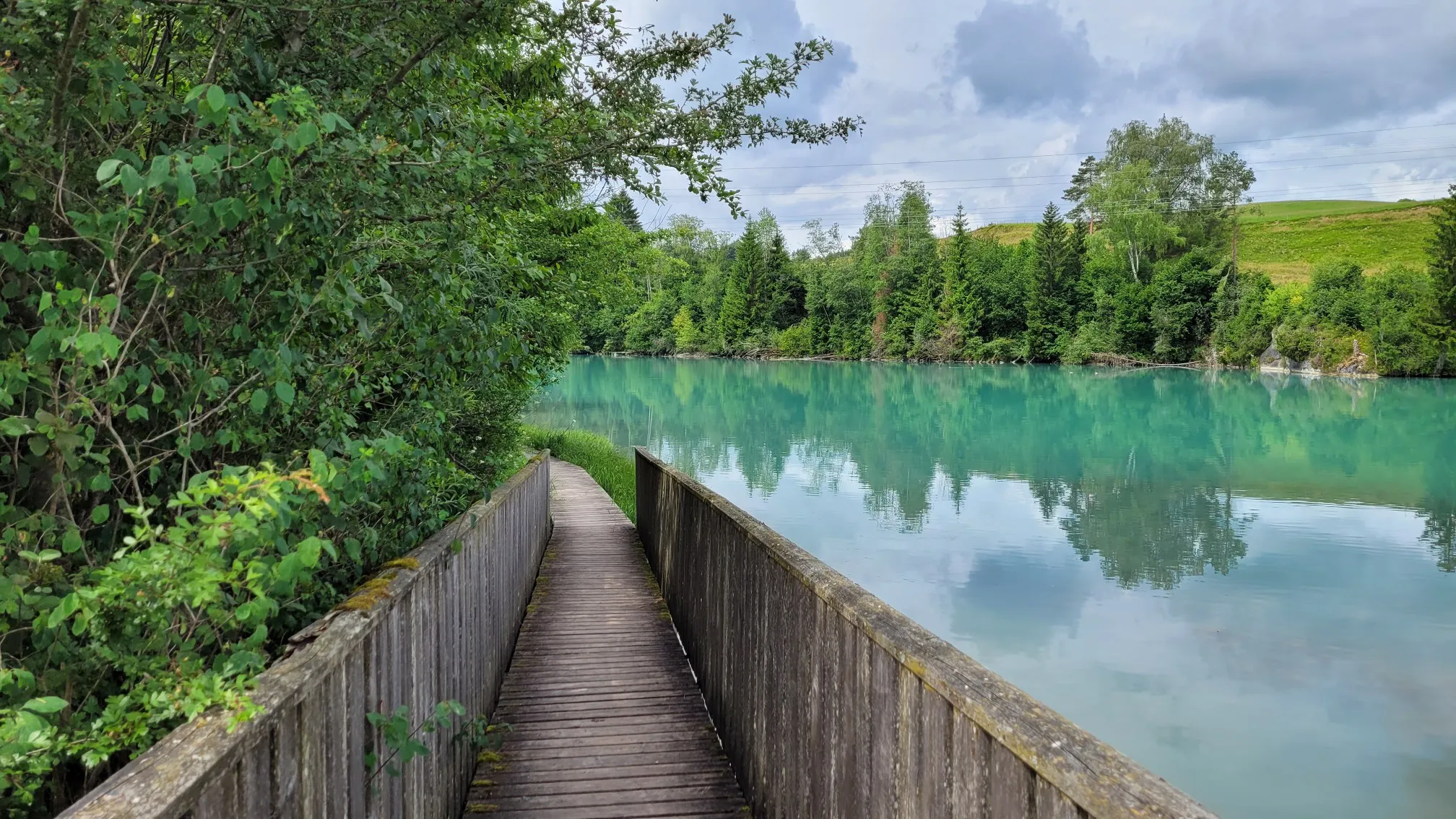
Boardwalk has now been renewed
0
0
Frequently Asked Questions
How many waterfall hiking trails are available in Weilheim-Schongau?
There are over 40 dedicated waterfall hiking trails in Weilheim-Schongau. These routes vary in length and difficulty, offering options for different preferences and fitness levels.
Are there easy waterfall hikes suitable for beginners or families?
Yes, Weilheim-Schongau offers several easy waterfall hikes. Out of the 42 available routes, 8 are classified as easy, making them ideal for beginners or families looking for a gentle outdoor experience. These trails often feature well-maintained paths and less elevation gain.
What are some popular waterfall trails in the Ammerschlucht Gorge?
The Ammerschlucht Gorge is a highlight for waterfall enthusiasts. A popular moderate route is the Kalkofensteg Wooden Bridge – Ammerschlucht Gorge Trail loop from Rottenbuch, which covers about 15.2 km. For a more challenging option, the Ammerschlucht Gorge Trail – Kalkofensteg Wooden Bridge loop from Ramsau is a 15.6 km difficult trail that also explores the gorge.
Are there any circular waterfall walks in the region?
Many of the waterfall hikes in Weilheim-Schongau are designed as circular routes, allowing you to start and end at the same point. For example, the Schnalzberg Summit – Schnalz Summit loop from Kellershof is a moderate 8.6 km circular trail offering views towards the summit.
What kind of terrain can I expect on waterfall hikes in Weilheim-Schongau?
The terrain on waterfall hikes in Weilheim-Schongau is quite varied, reflecting the region's diverse landscape. You can expect paths through extensive forests, rolling hills, and sometimes more rugged sections, especially in gorge areas like the Ammerschlucht. Some trails may include root-covered paths, such as the Root-covered path in the Ammerleite Forest – Kalkofensteg Wooden Bridge loop from Ramsau.
What natural features or landmarks can I see along these trails?
Beyond the waterfalls themselves, you'll encounter a rich array of natural features. The region is characterized by the foothills of the Bavarian Alps, lush forests, and unique moorland areas. You might also discover interesting geological formations like the Entrance to the Ammer Gorge Cave or the Schnalzhöhlen (Stone Chambers). The famous Schleierfälle (Veil Waterfalls) are a notable highlight.
What do other hikers say about the waterfall trails in Weilheim-Schongau?
The waterfall trails in Weilheim-Schongau are highly regarded by the komoot community, boasting an average rating of 4.5 out of 5 stars from over 13,000 reviews. Hikers frequently praise the scenic beauty of the Ammerschlucht Gorge, the well-maintained paths, and the refreshing experience of discovering hidden waterfalls amidst the Bavarian landscape.
Are there any waterfall hikes that offer panoramic views?
Yes, some waterfall hikes incorporate sections that lead to higher elevations, providing expansive views. For instance, the Schnalz Summit – Schnalzberg Summit loop from Ramsau is a moderate 10.8 km trail that offers rewarding vistas of the surrounding area.
When is the best time of year to visit the waterfalls in Weilheim-Schongau?
The waterfalls in Weilheim-Schongau are beautiful year-round, but the best time to visit depends on your preference. Spring, after snowmelt or heavy rains, often sees the waterfalls at their most powerful. Summer offers pleasant hiking weather, while autumn brings stunning foliage. Winter can transform the landscape into a magical, icy wonderland, though some paths might be more challenging due to snow or ice.
Are the waterfall hiking trails in Weilheim-Schongau dog-friendly?
Many trails in Weilheim-Schongau are dog-friendly, allowing you to enjoy the waterfalls with your canine companion. However, it's always recommended to check specific route details on komoot for any restrictions or challenging sections that might not be suitable for all dogs. Always keep your dog on a leash, especially in nature reserves or near wildlife.
What is the typical duration for a waterfall hike in this region?
The duration of waterfall hikes varies significantly. Shorter, easier walks might take around 2-3 hours, while longer, more challenging routes can extend to 4-5 hours or more. For example, the Schnalzberg Summit – Schnalz Summit loop from Kellershof typically takes about 2 hours 52 minutes, while the Kalkofensteg Wooden Bridge – Ammerschlucht Gorge Trail loop from Rottenbuch is closer to 4 hours 32 minutes.
Most popular routes in Weilheim-Schongau
Most popular attractions in Weilheim-Schongau

Get inspired with the komoot mobile app


Didn’t find what you were looking for?
Check out more Hikes throughout Weilheim-Schongau below and find the perfect route in your destination.
