The best MTB trails around Etang De Beauregard
4.7
(15)
59
riders
9
rides
Mountain biking around Etang De Beauregard offers routes through the picturesque countryside of the Brenne Regional Natural Park, characterized by numerous lakes, gentle rolling hills, and extensive forests. The terrain typically features low elevation gains, making it accessible for various skill levels. Trails often follow riverbanks and pass by tranquil ponds, providing a scenic backdrop for rides.
Best mountain bike trails around Etang De Beauregard
- The most popular mountain bike trail is Footbridge over water loop from Île des Soudelles…
Last updated: July 8, 2026
5.0
(5)
9
riders
34.5km
02:20
110m
110m
Moderate mountain bike ride. Good fitness required. Advanced riding skills necessary.
4.5
(2)
9
riders
Moderate mountain bike ride. Good fitness required. Suitable for all skill levels.

Sign up for free
5.0
(3)
14
riders
28.1km
01:41
100m
100m
Easy mountain bike ride. Great for any fitness level. Suitable for all skill levels.
5.0
(1)
3
riders
Moderate mountain bike ride. Good fitness required. Advanced riding skills necessary.
4.0
(1)
3
riders
44.0km
03:11
130m
130m
Moderate mountain bike ride. Good fitness required. Advanced riding skills necessary.
Get access to more routes and recommendations from other explorers.
Sign up for free
Already have an account?
Our route recommendations are based on thousands of hikes, rides, and runs completed by other people on komoot.
Start today with a free account
Your next adventure awaits.
Login or Signup
Tips from the Community

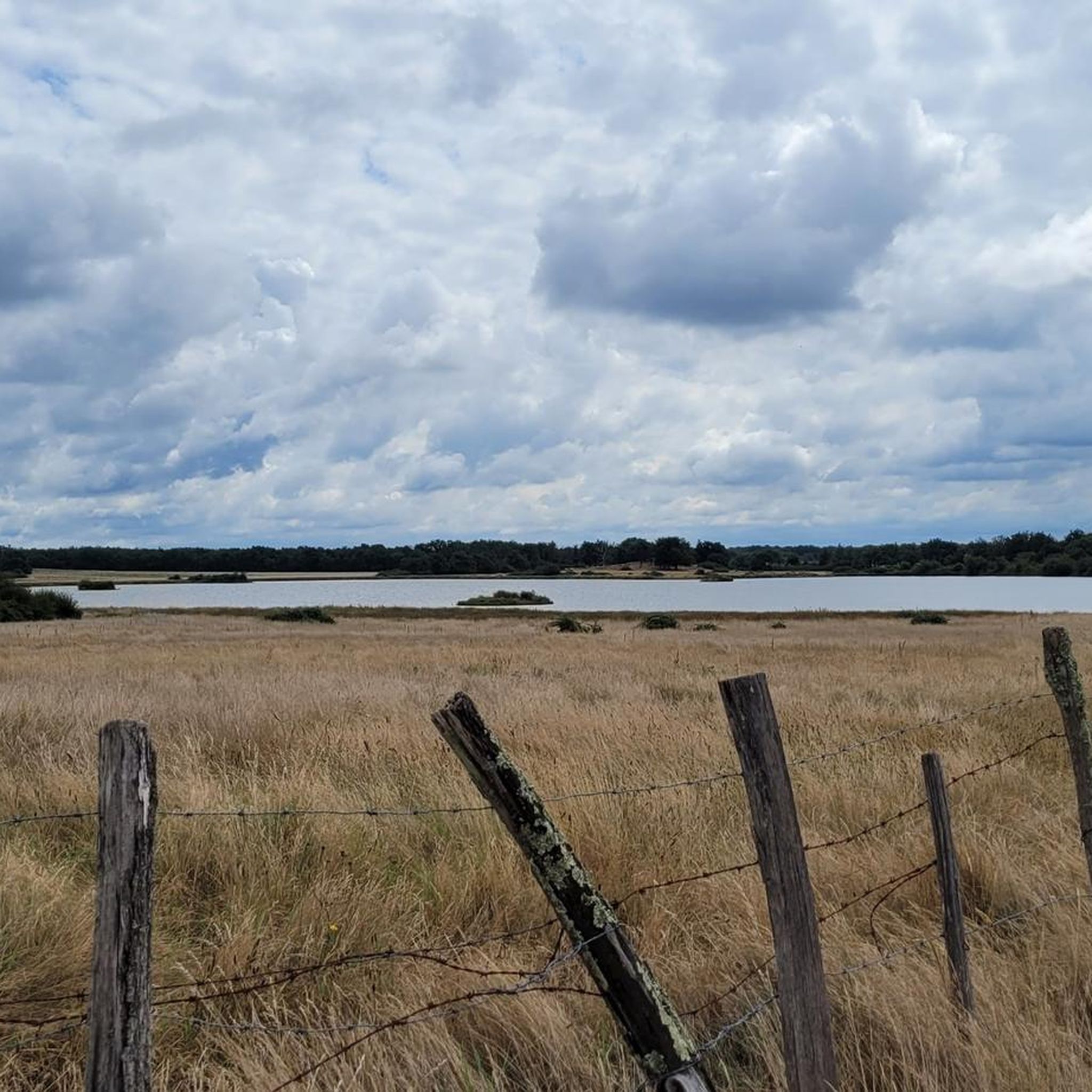
Large and beautiful lake in the Brenne nature park. Beautiful surroundings and lovely hiking trails with plenty of picnic tables for lunch, a lake for swimming or subboarding, a climbing park in the woods, and a restaurant. A wonderful spot!
1
0

Lots of birds (maybe you'll be lucky enough to see a purple heron like I did)
0
0

Beautiful path in the undergrowth
0
0

Dogs not allowed. Best time: morning or afternoon/evening. Bring binoculars or telescope.
0
0

Do not take the walk after a wet period. A large part of the paths is heavily flooded.
1
0

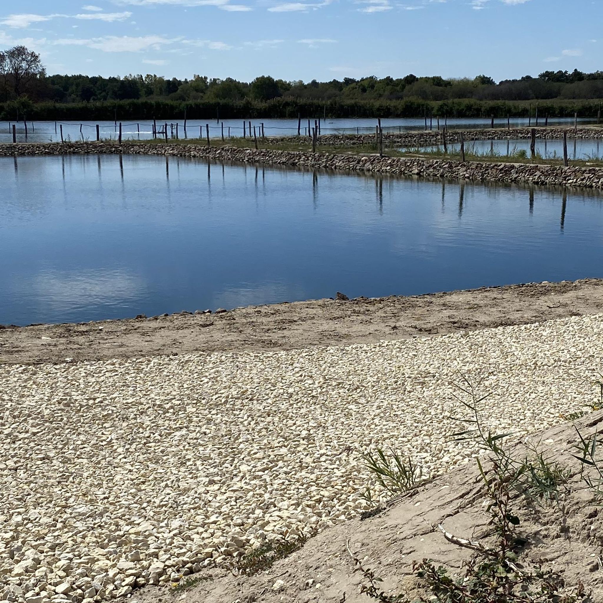
Known for its beach and swimming area, Bellebouche Pond is one of the largest and most beautiful bodies of water in Brenne. The pond is part of a larger site covering a total of 300 hectares of meadows, moors, wasteland, and woods. Three observatories located at the end of the pond and guided excursions allow visitors to discover its natural treasures. The observatory located to the east is recommended for the morning, and the observatories located to the west are recommended for the afternoon. Guided activities are offered seasonally (calendar available upon request). For information: +33 2 54 38 28 28
0
0

One of the most beautiful villages in Brenne
0
0

The community is located in the Brenne Regional Nature Park and is therefore a great starting point for cycling tours in the beautiful lake landscape.
0
0
Frequently Asked Questions
How many mountain bike trails are available around Etang De Beauregard?
There are 9 mountain bike trails available around Etang De Beauregard. These routes offer a variety of experiences through the picturesque countryside of the Brenne Regional Natural Park.
What is the typical terrain and elevation gain like for mountain biking in this area?
The terrain around Etang De Beauregard is characterized by gentle rolling hills, extensive forests, and numerous lakes, typical of the Brenne Regional Natural Park. Trails generally feature low elevation gains, making them accessible for various skill levels. For example, a moderate trail like Footbridge over water loop from Île des Soudelles has an elevation gain of about 105 meters over 34.5 km.
Are there mountain bike trails suitable for families or beginners?
Yes, Etang De Beauregard offers trails suitable for families and beginners. The area has 3 easy-rated routes, characterized by low elevation gains and serene landscapes. An excellent option is the Étang de la Planche Maillet loop from Rosnay, which is an easy 27.1 km path navigating through tranquil scenery.
Can I bring my dog on the mountain bike trails around Etang De Beauregard?
While specific regulations for dogs on mountain bike trails in the Brenne Regional Natural Park are not detailed, generally, dogs are permitted on trails in natural parks, often requiring them to be kept on a leash to protect wildlife. It's always advisable to check local signage or the park's official website for the most current rules regarding pets.
What natural features or landmarks can I expect to see along the trails?
The mountain bike trails around Etang De Beauregard are set within the Brenne Regional Natural Park, renowned for its 'land of a thousand ponds.' You can expect to see numerous lakes, tranquil ponds, and extensive forests. Many trails follow riverbanks, such as the Path on the banks of the Claise🤗 river loop from Mézières-en-Brenne, offering scenic water crossings and picturesque views of the natural landscape.
Are there circular mountain bike routes available?
Yes, all the mountain bike routes listed for Etang De Beauregard are circular. This allows for convenient starting and ending points, often returning you to your original location. Examples include the Footbridge over water loop from Île des Soudelles and the Étang Neuf – Étang de Rianvert loop from Mézières-en-Brenne.
What is the best time of year to go mountain biking around Etang De Beauregard?
The Dordogne region, where areas like Clermont-de-Beauregard are located, generally offers pleasant conditions for outdoor activities from spring through autumn. Spring and early autumn provide milder temperatures and beautiful scenery, while summer can be warm but still enjoyable, especially in forested areas. It's always a good idea to check the local weather forecast before heading out.
Where can I find parking for mountain biking near Etang De Beauregard?
While specific parking locations are not detailed for each trail, given the rural nature of the Brenne Regional Natural Park and the starting points of many routes (e.g., Île des Soudelles, Rosnay, Mézières-en-Brenne, Paulnay), you can typically find parking in or near these villages. Look for designated parking areas or roadside spots that are safe and do not obstruct local traffic or access.
Is public transport available to access the mountain bike trails?
Accessing the mountain bike trails around Etang De Beauregard primarily relies on personal transport due to the rural setting of the Brenne Regional Natural Park. Public transport options directly to trailheads are generally limited. It is recommended to drive to the starting points of the routes.
Are there any cafes, pubs, or accommodation options near the trails?
The villages surrounding Etang De Beauregard, such as Rosnay, Mézières-en-Brenne, and Paulnay, offer local amenities. You can expect to find small cafes, restaurants, and various accommodation options like gîtes, B&Bs, or small hotels in these areas, providing places to refuel and rest after your ride.
What do other mountain bikers say about the trails around Etang De Beauregard?
The mountain bike routes in Etang De Beauregard are highly rated by the komoot community, with an average score of 4.7 stars from around 10 reviews. More than 50 mountain bikers have used komoot to explore the varied terrain, often praising the serene landscapes, the numerous lakes, and the accessibility of the trails for different ability levels.
What are some examples of moderate mountain bike trails in the area?
For those looking for a moderate challenge, trails like the Footbridge over water loop from Île des Soudelles (34.5 km with 105m elevation gain) and the Path on the banks of the Claise🤗 river loop from Mézières-en-Brenne (37.9 km with 168m elevation gain) are excellent choices. These routes offer slightly longer distances and more varied terrain while remaining within a manageable difficulty level.
How long do the mountain bike trails typically take to complete?
The duration of mountain bike trails around Etang De Beauregard varies depending on the route length and your pace. Easy trails, such as the Étang Perre – Étang Neuf loop from Paulnay (16.9 km), can take around 1 hour 15 minutes. Moderate routes, like the Footbridge over water loop from Île des Soudelles (34.5 km), typically take about 2 hours 20 minutes.
Most popular routes around Etang De Beauregard

Get inspired with the komoot mobile app


Explore more
Browse the best MTB trails in other regions.
