The best mountain hikes around Lac Chauvet
4.7
(8)
43
hikers
4
hikes
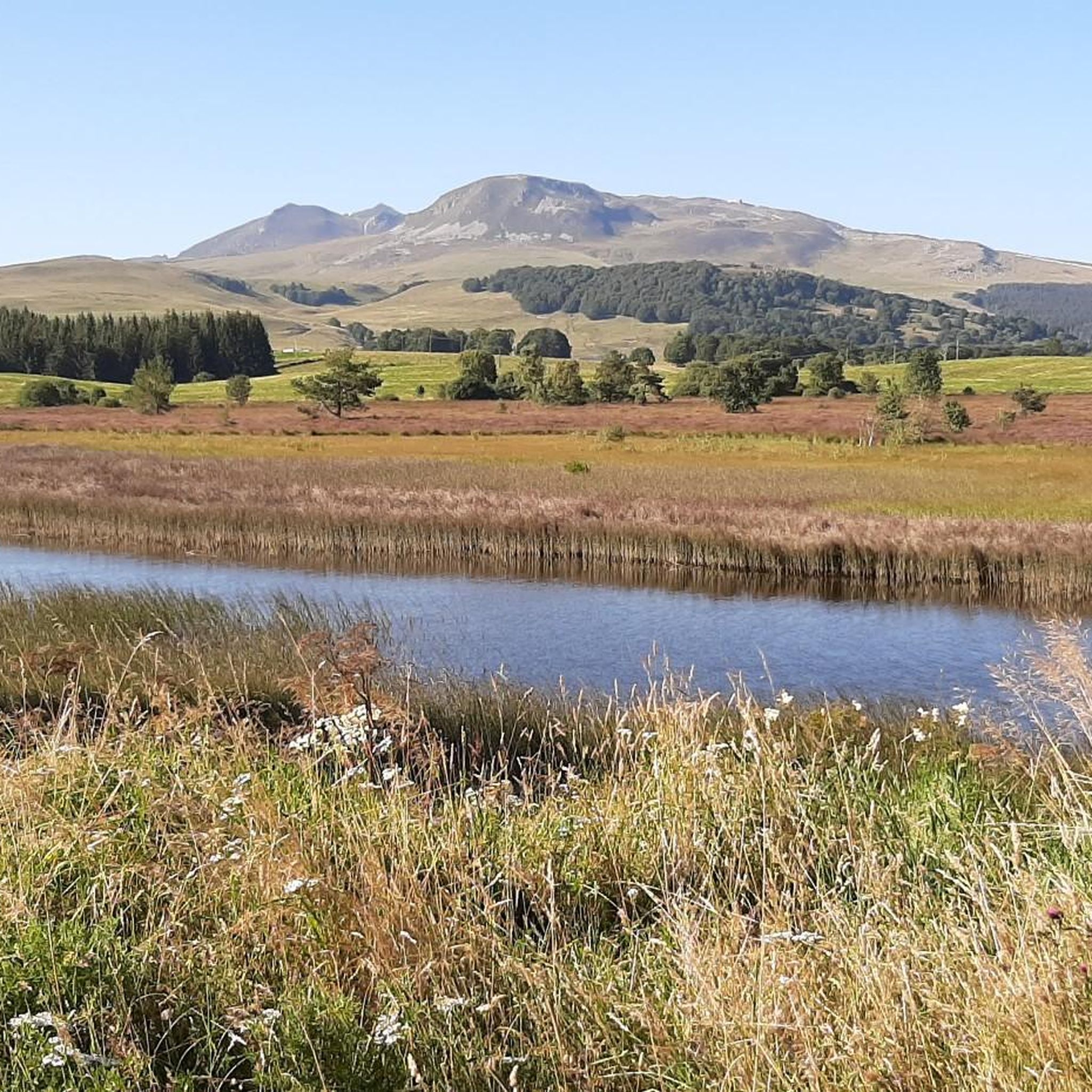
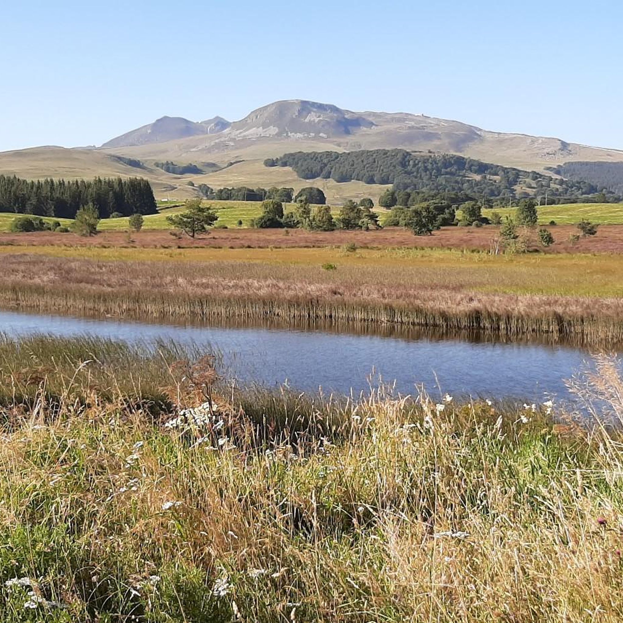
Mountaineering routes around Lac Chauvet are set within the Auvergne Volcanoes Regional Park, a region defined by its volcanic origins. Lac Chauvet itself is a maar, a crater lake situated at 1,166 meters, surrounded by ancient beech forests. The wider area provides access to the Massif du Sancy, featuring volcanic peaks, rocky outcrops, and couloirs, offering varied terrain for mountaineering.
Best mountaineering routes around Lac Chauvet
- The most popular mountaineering route is Courre Pass – Puy de Sancy loop from…
Last updated: June 24, 2026
3
hikers
18.3km
06:09
860m
860m
Hard mountaineering route. Very good fitness required. Mostly accessible paths. Sure-footedness required.
4.5
(2)
7
hikers
11.2km
04:25
580m
580m
Moderate mountaineering route. Good fitness required. Mostly accessible paths. Sure-footedness required.

Sign up for free
2
hikers
5.60km
01:44
210m
210m
Easy mountaineering route. Great for any fitness level. Easily-accessible paths. Suitable for all skill levels.
4.3
(4)
15
hikers
8.13km
03:02
510m
510m
Moderate mountaineering route. Good fitness required. Mostly accessible paths. Sure-footedness required.
5.0
(1)
9
hikers
5.08km
02:03
400m
400m
Moderate mountaineering route. Good fitness required. Easily-accessible paths. Suitable for all skill levels.
Our route recommendations are based on thousands of hikes, rides, and runs completed by other people on komoot.
Start today with a free account
Your next adventure awaits.
Login or Signup
Tips from the Community

you have to have ridden it to understand
0
0

It's amazing how these puny source streams can become such a magnificent river, until it flows into the Atlantic as the Gironde.
0
0
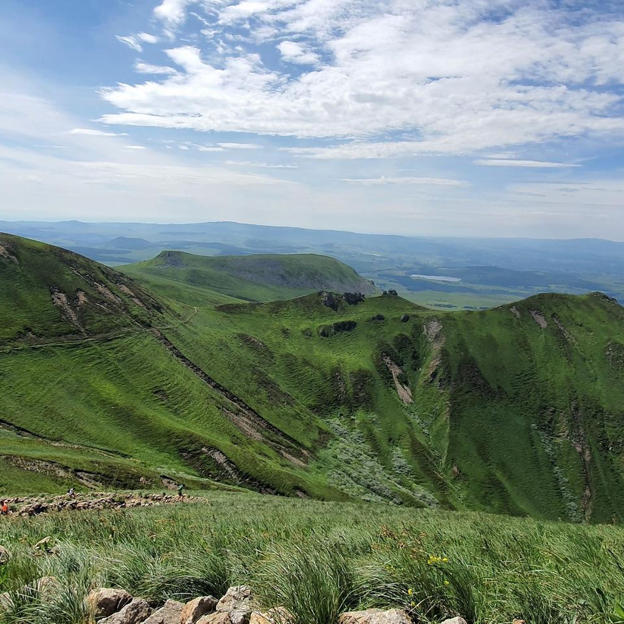
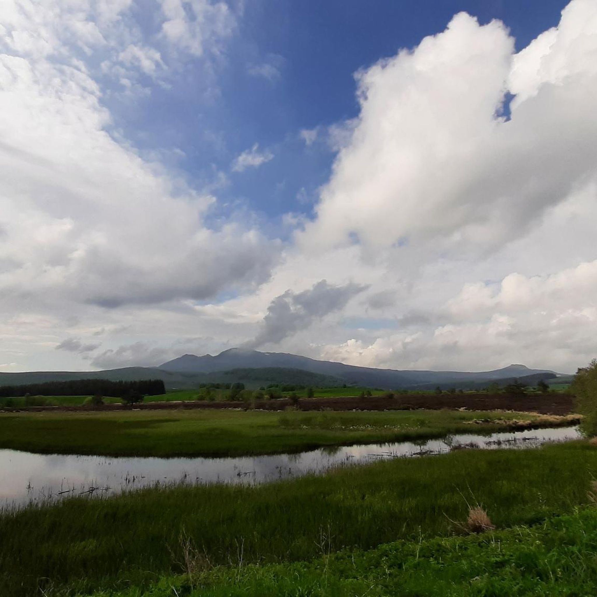
This is a popular hiking area in the Auvergne Volcanoes Nature Park. Those who want to hike in nature should set off early.
1
0


Very impressive prospects, good to go.
0
0
Very impressive prospects, good to go.
1
0
Frequently Asked Questions
What kind of terrain can I expect on mountaineering routes around Lac Chauvet?
The mountaineering routes around Lac Chauvet are primarily defined by the region's volcanic origins. You'll encounter diverse landscapes, from ancient beech forests surrounding the lake to the higher-altitude volcanic peaks, rocky outcrops, and couloirs of the Massif du Sancy. Expect varied terrain that can range from well-trodden paths to more challenging, rugged sections.
Are there any easy mountaineering routes suitable for beginners near Lac Chauvet?
Yes, there are routes suitable for those new to mountaineering. For example, the Puy Montchal – Lake Pavin loop from Besse is rated as easy. This 5.6 km (3.5 miles) trail leads through volcanic hills and past another crater lake, typically taking about 1 hour 44 minutes to complete.
What are some of the more challenging mountaineering routes in the area?
For those seeking a significant challenge, the Courre Pass – Puy de Sancy loop from Col de la Geneste is a difficult route. This 18.3 km (11.4 miles) trail ascends towards the Puy de Sancy, the highest peak in the Massif Central, and typically takes over 6 hours to complete, involving a substantial elevation gain of around 855 meters.
Can I find circular mountaineering routes around Lac Chauvet?
Yes, several routes in the area are circular. For instance, the challenging Courre Pass – Puy de Sancy loop from Col de la Geneste and the moderate Puy de Sancy – Crêtes du Sancy loop from Super Besse are both circular paths, allowing you to start and end at the same point.
What kind of views can I expect on these mountaineering routes?
The routes offer breathtaking panoramic views, especially from the higher elevations of the Massif du Sancy. You can expect expansive vistas of the volcanic landscape, including other peaks, valleys, and the unique circular shape of Lac Chauvet itself, often framed by ancient beech forests.
Are there any specific natural features or landmarks to look out for on the trails?
Beyond the stunning volcanic landscapes, you'll encounter the unique maar formation of Lac Chauvet, surrounded by ancient beech forests. The wider region also features the majestic Sancy massif, and some hiking trails in the area lead to scenic spots like the Cascade de la Barthe waterfall. The routes often traverse diverse landscapes of streams, footbridges, and pastures.
What do other mountaineers say about the routes around Lac Chauvet?
The mountaineering routes around Lac Chauvet are highly regarded by the komoot community, with an average rating of 4.6 stars from 7 reviews. Mountaineers often praise the varied terrain, the stunning volcanic scenery, and the options available for different ability levels.
Are there any moderate mountaineering options available?
Absolutely. If you're looking for a moderate challenge, consider the Puy de Sancy – Crêtes du Sancy loop from Super Besse. This 11.2 km (7.0 miles) path traverses the Sancy ridges, offering expansive views. Another moderate option is the Puy de Sancy – Col de la Cabane loop from Puy de Sancy, which is 7.7 km (4.8 miles) long.
How many mountaineering routes are covered in this guide for Lac Chauvet?
This guide features several distinct mountaineering routes around Lac Chauvet, offering a range of options from easy to difficult, allowing you to choose an adventure that best suits your skill level and desired challenge.
Is it possible to combine mountaineering with exploring other crater lakes in the region?
Yes, the region is known for its volcanic lakes. The Puy Montchal – Lake Pavin loop from Besse, for example, takes you past Lake Pavin, another beautiful crater lake, allowing you to experience more of the unique volcanic landscape.
What is the highest point I can reach on a mountaineering route from this guide?
Several routes in this guide ascend towards the Puy de Sancy, which is the highest peak in Auvergne at 1,886 meters. The Courre Pass – Puy de Sancy loop from Col de la Geneste is one such route that takes you to this impressive summit.
Most popular routes around Lac Chauvet

Get inspired with the komoot mobile app


Explore more
Browse the best Mountain Hikes & Routes in other regions.
