The best MTB trails around Méharicourt
3.7
(9)
75
riders
15
rides
Mountain biking around Méharicourt features a landscape characterized by extensive woodlands, gentle hills, and sections along the Canal de la Somme. The terrain offers a mix of forest trails and open paths, providing varied riding experiences. This region in northern France is generally flat to gently rolling, with some routes incorporating minor elevations. The area is suitable for exploring on two wheels, with routes often passing through agricultural land and small villages.
Best mountain bike trails around Méharicourt
- The most…
Last updated: June 24, 2026
4.0
(2)
10
riders
72.5km
05:08
470m
470m
Hard mountain bike ride. Very good fitness required. Advanced riding skills necessary.
7
riders
Moderate mountain bike ride. Good fitness required. Suitable for all skill levels.

Sign up for free
5
riders
35.0km
02:34
220m
220m
Moderate mountain bike ride. Good fitness required. Advanced riding skills necessary.
4
riders
Moderate mountain bike ride. Good fitness required. Suitable for all skill levels.
5
riders
72.7km
04:36
350m
350m
Moderate mountain bike ride. Good fitness required. Suitable for all skill levels.
Get access to more routes and recommendations from other explorers.
Sign up for free
Already have an account?
Our route recommendations are based on thousands of hikes, rides, and runs completed by other people on komoot.
Start today with a free account
Your next adventure awaits.
Login or Signup




Tips from the Community

There are several locks near Frise, all with fish ladders.
14
0

Nice view of the ponds and the villa "Les étangs".
0
0

The name Trois-Rivières refers to the three rivers that flow through the new commune: the Avre, the Cologne, and the Trois Doms. A beautiful panorama 👍.
0
0

Several paths to explore in Gravel
0
0

Very pretty descent into the undergrowth, with stairs, it leads directly below onto the Somme canal road
0
0

The Frize mountain belvedere reveals a striking view of the meanders of the Somme, in a peaceful setting that contrasts with its past marked by the battles of the First World War. Traces of this history are still visible in the trenches and shell impacts. Mentioned by Blaise Cendrars, this land rich in history today offers visitors an exceptional panorama of a landscape of marshes and ponds.
2
0

The Etangs de la Barette are a natural site of approximately 40 hectares located in the communes of Corbie and Vaux-sur-Somme. The site is made up of large artificial ponds which were dug by the monks of Corbie Abbey to serve as a fishpond, then used for peat extraction in the 19th century. You can enjoy the view of the water and wetlands, and observe the diverse flora and fauna that populate the site. You will also be able to see the Blue Fountains, water springs that appear blue due to the reflection of sunlight on the chalky bottom. The Etangs de la Barette are an ideal destination for nature lovers who wish to discover a rich and preserved environment.
5
0

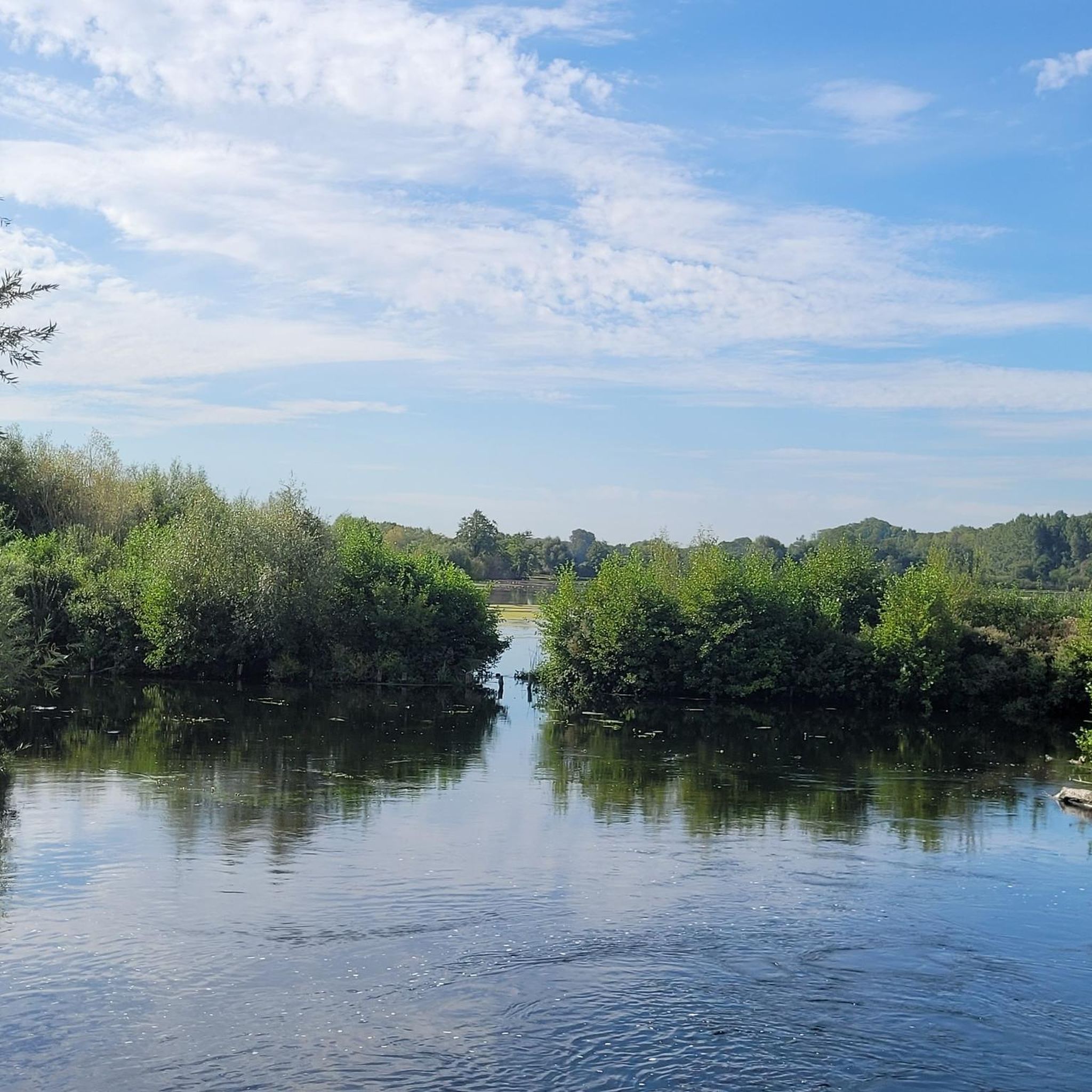
On the towpath, we have on one side the ponds of the Barette and on the other the Somme.
0
0
Frequently Asked Questions
What are the general characteristics of mountain biking terrain around Méharicourt?
The landscape around Méharicourt is characterized by extensive woodlands, gentle hills, and sections along the Canal de la Somme. You'll find a mix of forest trails and open paths, with the region generally being flat to gently rolling. Some routes incorporate minor elevations, and you'll often pass through agricultural land and small villages.
How many mountain bike trails are available in the Méharicourt area?
There are over 15 mountain bike trails available for exploration around Méharicourt, offering a variety of experiences for different skill levels.
What is the typical difficulty level of mountain bike trails near Méharicourt?
The trails around Méharicourt cater to a range of abilities. You'll find 3 easy routes, 10 moderate routes, and 2 difficult routes, ensuring options for beginners to more experienced riders looking for a challenge.
Are there any family-friendly mountain bike trails in Méharicourt?
Yes, there are 3 easy mountain bike routes around Méharicourt that are suitable for families or those looking for a less strenuous ride. These trails typically feature gentler terrain and shorter distances.
What is the average length and duration of mountain bike trails in this region?
The mountain bike trails around Méharicourt vary significantly in length and duration. For example, a moderate route like the Sainte-Croix Church of Caix – Bois Domart/luce loop from Rosières is about 32.9 miles (53.0 km) and takes around 4 hours. More challenging routes can be longer, such as the Join montagne de fignère – Montagne de Fignières loop from Rosières, which is 45.0 miles (72.5 km).
Are the mountain bike trails around Méharicourt typically loop routes?
Yes, many of the mountain bike trails in the Méharicourt area are designed as loops, allowing you to start and finish at the same point. For instance, the Sainte-Croix Church of Caix – Bayonvillers Gravel Routes loop from Rosières is a popular circular option.
What do other mountain bikers say about the trails in Méharicourt?
The mountain bike trails in Méharicourt are highly rated by the komoot community, with an average score of 4.1 stars from over 5 reviews. Riders often praise the varied terrain, from quiet woodlands to scenic canal paths, and the well-maintained routes.
Are there any trails with notable viewpoints around Méharicourt?
Yes, some routes offer scenic vistas. The Canal de la Somme Cycle Path – Frise Viewpoint loop from Foucaucourt-en-Santerre specifically highlights a viewpoint along the Canal de la Somme, providing picturesque views of the waterway and surrounding landscape.
What is the best time of year for mountain biking in Méharicourt?
Spring and autumn generally offer the most pleasant conditions for mountain biking in Méharicourt, with mild temperatures and vibrant scenery. While trails are accessible year-round, be mindful of potential muddy conditions after rain, especially in wooded areas, and check local weather forecasts.
Are dogs allowed on the mountain bike trails in Méharicourt?
Many trails in the Méharicourt region, particularly those through public woodlands and rural paths, are generally dog-friendly. However, it's always advisable to keep dogs on a leash, especially when passing through agricultural land or near livestock, and to respect any local signage regarding pet access.
Where are the common starting points or trailheads for mountain biking around Méharicourt?
Many popular mountain bike routes in the area, such as the Sainte-Croix Church of Caix – Woodland Trail loop from Rosières, often start from villages like Rosières or Foucaucourt-en-Santerre. These locations typically offer convenient access to the trail network.
Most popular routes around Méharicourt

Get inspired with the komoot mobile app


Explore more
Browse the best MTB trails in other regions.
