The best mountain hikes around Saligos
4.4
(10)
84
hikers
10
hikes
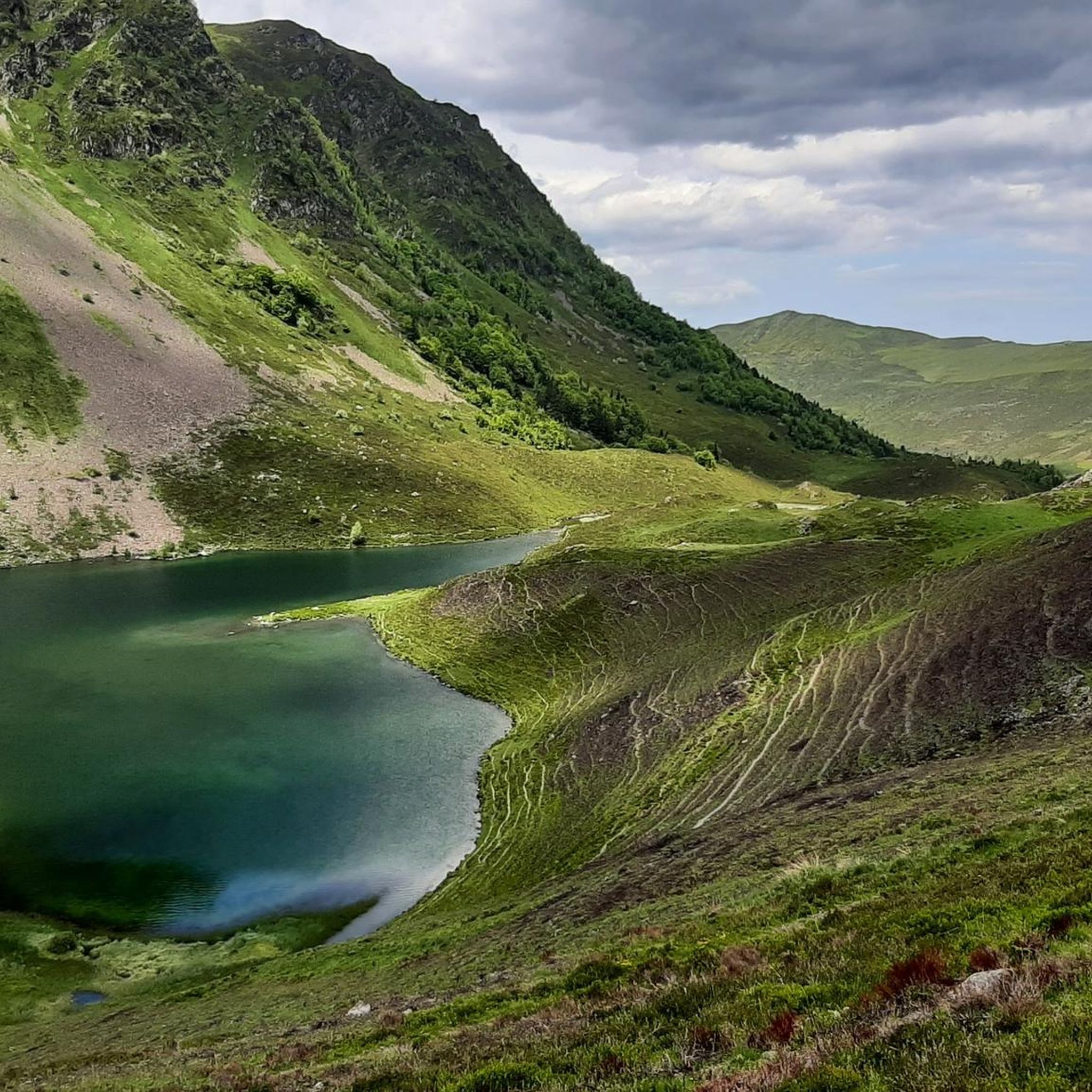
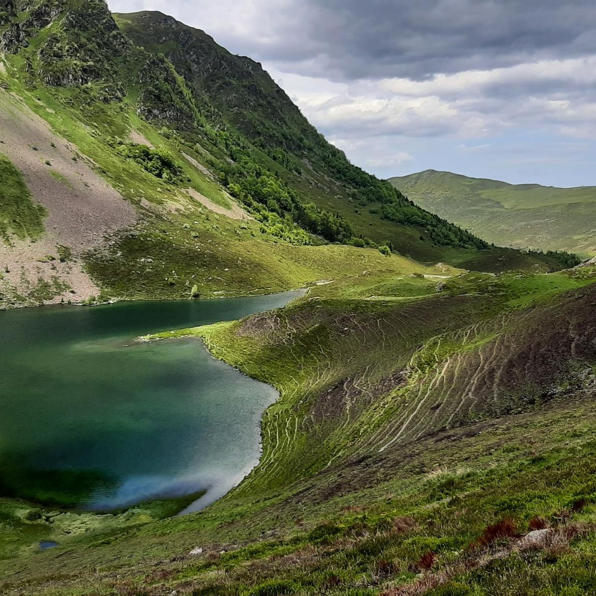
Mountaineering routes around Saligos are set within a rugged, mountainous landscape characterized by high peaks, deep valleys, and numerous alpine lakes. The region features a diverse terrain with significant elevation changes, offering challenging ascents and descents. Waterfalls and dense forests are common along many routes, contributing to the varied natural environment.
Best mountaineering routes around Saligos
- The most popular mountaineering route is Boussès Waterfall – Lake Gaube loop from Cauterets, a 9.1 miles (14.7 km) trail that takes 4…
Last updated: June 24, 2026
4.3
(4)
14
hikers
14.7km
04:52
700m
700m
Moderate mountaineering route. Good fitness required. Easily-accessible paths. Suitable for all skill levels.
14
hikers
16.6km
05:44
850m
850m
Hard mountaineering route. Very good fitness required. Mostly accessible paths. Sure-footedness required.

Sign up for free
5.0
(3)
6
hikers
8.69km
03:51
580m
580m
Moderate mountaineering route. Good fitness required. Mostly accessible paths. Sure-footedness required.
3.0
(1)
3
hikers
15.8km
06:09
1,160m
1,160m
Hard mountaineering route. Very good fitness required. Easily-accessible paths. Suitable for all skill levels.
4
hikers
10.2km
04:04
500m
500m
Hard mountaineering route. Good fitness required. Sure-footedness, sturdy shoes and alpine experience required.
Get access to more routes and recommendations from other explorers.
Sign up for free
Already have an account?
Our route recommendations are based on thousands of hikes, rides, and runs completed by other people on komoot.
Start today with a free account
Your next adventure awaits.
Login or Signup

Tips from the Community

Large, welcoming refuge. An invigorating, cool shower during our stay. Very good meal and a great atmosphere in the evening. The caretaker was attentive. Maps, guidebooks, books, and board games are available in the common room.
1
0

Large car park at the foot of the Tourmalet, there is a bike park here and there are opportunities to walk to the Néouveille lakes.
0
0


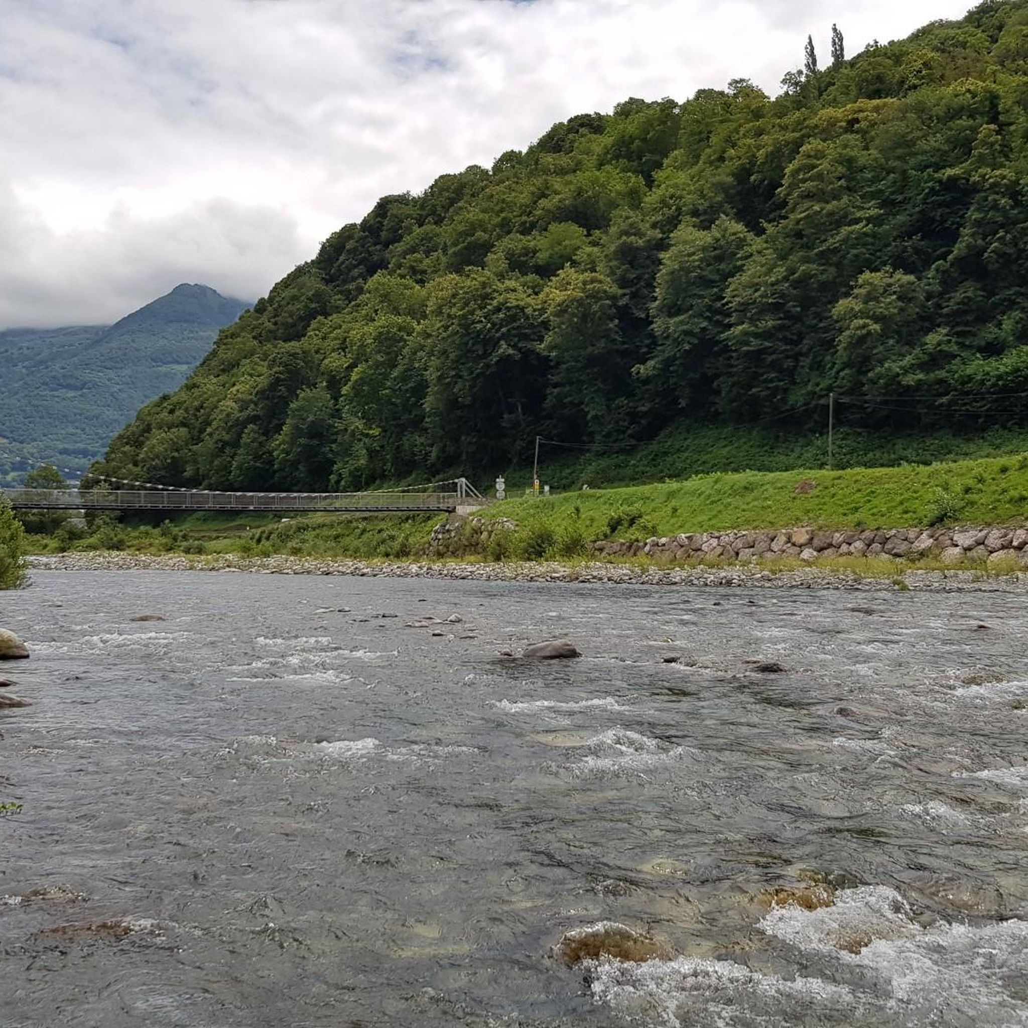
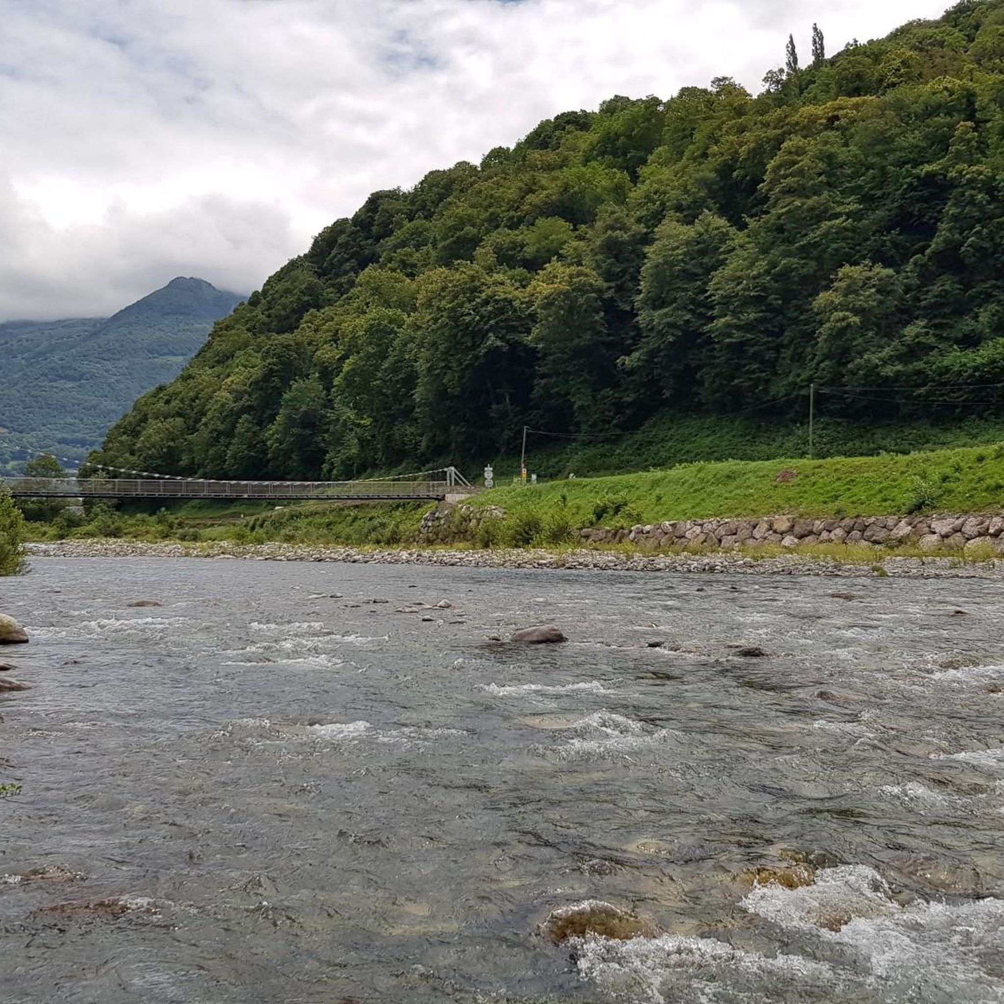
... view of the bridge and the waterfall.
2
0
A phenomenal mountain lake that gets crowded later in the summer.
2
0

A beautiful, quiet pass. Easily accessible by mountain bike from Bederet. The trail from here to Cauterets is a dream. A must-do if you're in the area!
0
0


Beautiful….. What else can I say
0
0
Frequently Asked Questions
How many mountaineering routes can I explore around Saligos?
There are over a dozen mountaineering routes available around Saligos, offering a range of experiences within the region's rugged, mountainous landscape. These routes are highly rated by the komoot community, with an average score of 4.6 stars.
What are the typical difficulty levels for mountaineering routes in Saligos?
Mountaineering routes in Saligos are generally categorized as moderate to difficult. You'll find 5 moderate routes and 7 difficult routes, characterized by significant elevation changes, challenging ascents, and descents. There are no easy routes listed, so a good level of fitness and experience is recommended.
Are there any circular mountaineering routes in Saligos?
Yes, Saligos offers several excellent circular mountaineering routes. For example, the Boussès Waterfall – Lake Gaube loop from Cauterets is a popular moderate option, while the Lac Dets Coubous – Col de Madamète loop from Tournaboup provides a more challenging, difficult circular experience.
What kind of terrain can I expect on mountaineering routes in Saligos?
The terrain around Saligos is rugged and mountainous, featuring high peaks, deep valleys, and numerous alpine lakes. You can expect significant elevation changes, with challenging ascents and descents. Many routes also pass through dense forests and feature impressive waterfalls, contributing to a diverse natural environment.
Are there any routes that feature waterfalls?
Absolutely! Waterfalls are a common and beautiful feature of the Saligos landscape. The Boussès Waterfall – Lake Gaube loop from Cauterets is specifically known for its impressive waterfalls. You can also find the Boussès Waterfall and Pouey Bacou Waterfall as notable natural monuments in the area.
What are some scenic lakes I can see on mountaineering routes in Saligos?
Saligos is rich with alpine lakes that are often highlights of the mountaineering routes. You can encounter lakes such as Lac Dets Coubous, Blue Lake of Lesponne, Lake Isaby, Lake Glère, and Lake Mounicot. Routes like the Lac det Mail – Lac de la Glère loop from Barèges are specifically designed to showcase these beautiful water features.
What do other mountaineers enjoy most about the routes in Saligos?
The komoot community highly rates the mountaineering routes in Saligos, with an average score of 4.6 stars. Reviewers often praise the stunning alpine lakes, impressive waterfalls, and the challenging yet rewarding experience of traversing high mountain passes within the rugged Irish landscape.
Are there any less crowded mountaineering routes in Saligos?
While some routes are very popular, you might find fewer crowds on routes like the Lac Noir – Refuge d'Ilhéou loop from Cauterets. This difficult route offers a substantial challenge and takes you through beautiful, high-altitude terrain, potentially providing a more solitary experience.
What is the best season for mountaineering in Saligos?
Given the rugged, mountainous terrain and the presence of alpine lakes, the best season for mountaineering in Saligos is typically from late spring to early autumn. During these months, the weather is generally more stable, and trails are free of significant snow, making for safer and more enjoyable conditions. Always check local weather forecasts before heading out.
Are there any specific peaks or summits to aim for in Saligos?
Yes, for those looking to conquer a summit, Cabaliros Peak is a notable natural monument in the Saligos area. While specific routes directly to its summit aren't detailed here, it stands as a prominent feature in the mountainous landscape, offering a challenging objective for experienced mountaineers.
Are there any long-distance mountaineering routes in Saligos?
For those seeking longer challenges, routes like the Gaubie Valley – Lac Dets Coubous loop from Tournaboup cover a significant distance of 16.3 km (10.1 miles) and involve over 1000 meters of elevation gain, making for a demanding full-day mountaineering experience.
Most popular attractions around Saligos

Get inspired with the komoot mobile app


Explore more
Browse the best Mountain Hikes & Routes in other regions.
