The best mountain hikes around Guchen
4.5
(9)
37
hikers
4
hikes
Mountaineering routes around Guchen are situated in the French Pyrenees, a region characterized by its mountainous terrain, deep valleys, and proximity to natural reserves like the Néouvielle National Reserve. The landscape features a mix of rugged slopes, forested areas, and high-altitude environments, offering varied challenges for mountaineers. Elevations in the area provide opportunities for significant ascents, with routes often traversing through alpine meadows and rocky sections. The region's geology contributes to diverse trail conditions, from well-trodden paths to more technical…
Last updated: June 24, 2026
4.0
(2)
12
hikers
10.3km
07:11
1,360m
1,360m
Hard mountaineering route. Very good fitness required. Sure-footedness, sturdy shoes and alpine experience required.
5
hikers
13.1km
04:28
650m
650m
Moderate mountaineering route. Good fitness required. Easily-accessible paths. Suitable for all skill levels.

Sign up for free
4
hikers
11.3km
03:59
620m
620m
Moderate mountaineering route. Good fitness required. Easily-accessible paths. Suitable for all skill levels.
5.0
(3)
7
hikers
17.5km
06:05
930m
930m
Hard mountaineering route. Very good fitness required. Mostly accessible paths. Sure-footedness required.
4.5
(2)
4
hikers
7.53km
02:42
430m
430m
Moderate mountaineering route. Good fitness required. Mostly accessible paths. Sure-footedness required.
Our route recommendations are based on thousands of hikes, rides, and runs completed by other people on komoot.
Start today with a free account
Your next adventure awaits.
Login or Signup
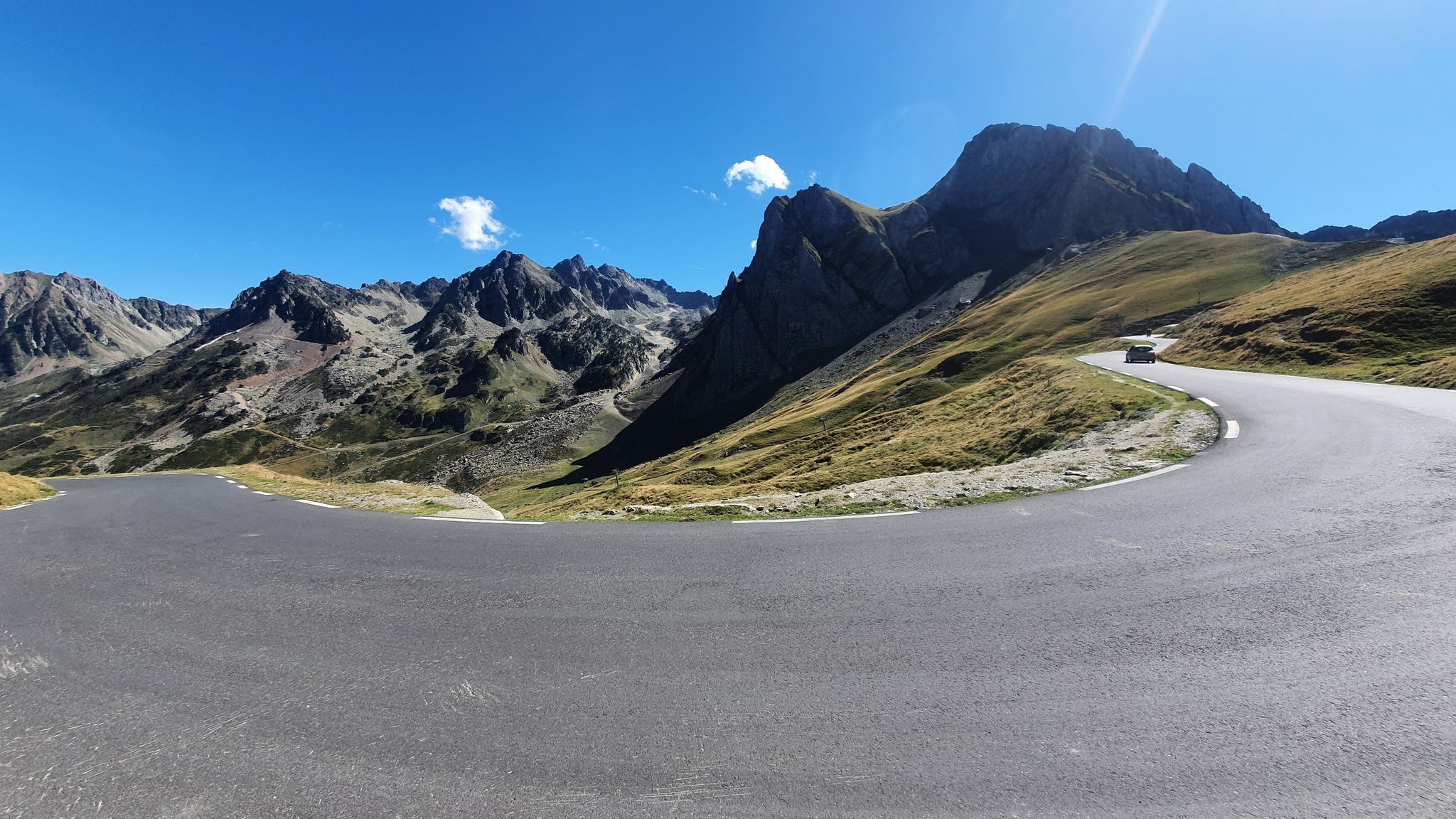
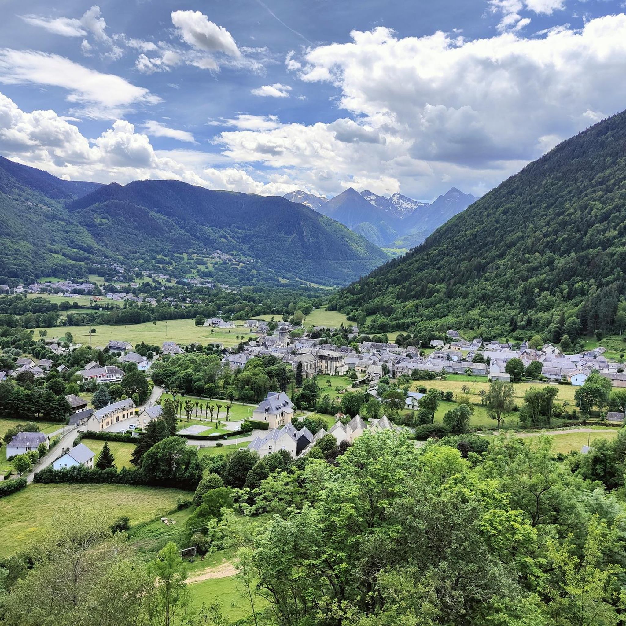
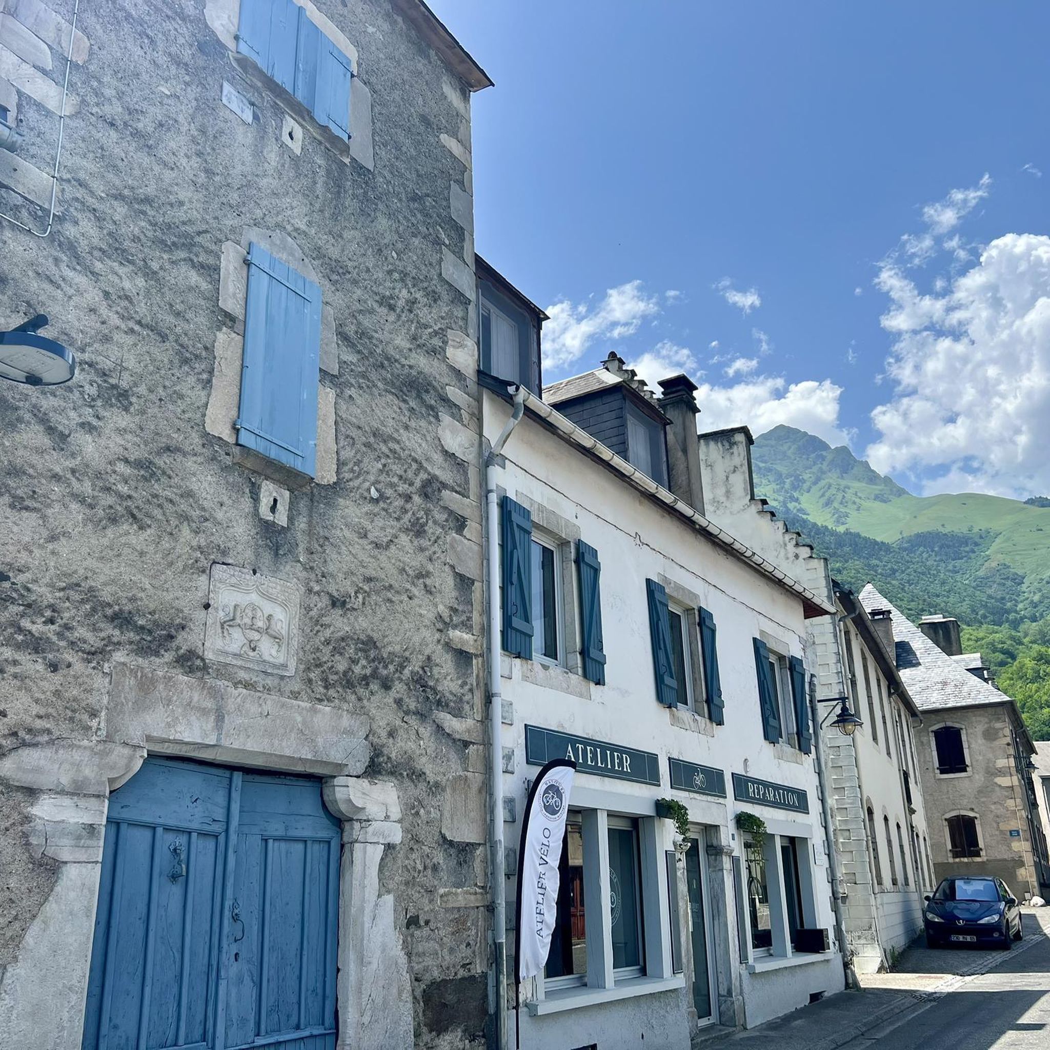
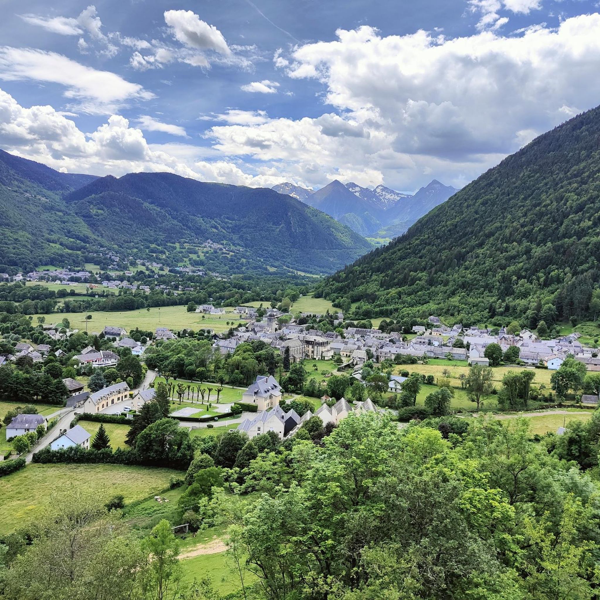

Other adventures around Guchen

Tips from the Community

Pleasant and legendary climb used by the Tour de France
1
0

A very nice short hike. The beginning is very steep, then passes through the forest, before becoming open with magnificent views. The return begins with a 10-minute walk through a rather unpleasant meadow, then it's easy.
0
0
Great hike to do in winter with snowshoes/crampons. Great view 😍
0
0

Here begins the official start of the climb to the Hourquette d'Ancizan, made in 2024 on the Tour de France. On the program, eight kilometers at an average of 5%.
0
0

A beautiful lake, the tour is easy to do!
0
0

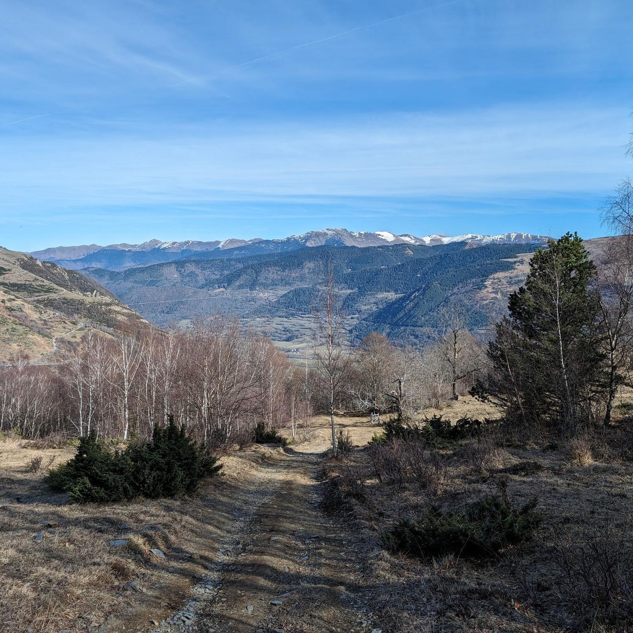
Incredible panoramic view of the surrounding valleys and peaks, including the Pic du Midi, the Col du Tourmalet and the Aure valley.
2
0

The summit of Plo del Naou offers panoramic views of the Pyrenees, making it a great destination. At over 1,700 metres above sea level, you will be surrounded by rugged peaks. On a clear day, you can see the majestic Pic du Midi and the neighbouring peaks stretching into the distance.
2
1
Frequently Asked Questions
What kind of terrain can I expect on mountaineering routes around Guchen?
Mountaineering routes in the Guchen area, nestled in the French Pyrenees, feature a diverse landscape. You'll encounter rugged slopes, forested valleys, and high-altitude environments. Trails often traverse alpine meadows and rocky sections, with significant elevation gains. The region's geology contributes to varied trail conditions, from well-trodden paths to more technical sections.
Are there routes suitable for beginners or those looking for a moderate challenge?
Yes, Guchen offers mountaineering routes for various skill levels. While some are quite challenging, you can find moderate options. For instance, the Lac de Payolle – Plo del naou loop from Lac de Payolle is a moderate 13 km path exploring high-altitude lakes, and the Plo del naou loop from Aspin-Aure is another moderate 11.1 km trail through varied mountain scenery.
What are some of the more challenging mountaineering routes in the Guchen area?
For experienced mountaineers seeking a significant challenge, Guchen has several difficult routes. The Arbizon loop from Aulon is a demanding 10.3 km trail with over 1300 meters of elevation gain. Another difficult option is the Sommet de Pouy Louby – Pic du Lion loop from Cazaux-Fréchet-Anéran-Camors, which spans 17.5 km with nearly 930 meters of ascent.
What natural features or landmarks can I see along the mountaineering routes?
The Guchen area is rich in natural beauty and notable points. You can explore mountain passes like Col d'Aspin and Col de Val Louron-Azet, or discover serene spots like Laquet de Coste Oueillère. The routes also offer views of summits such as Plo del Naou summit.
Are there any huts or refuges available for overnight stays or breaks on the routes?
Yes, the region around Guchen offers several huts and refuges that can serve as resting points or overnight accommodation. Notable options include Bastan Refuge, Refuge de Campana de Cloutou, La Lude Hut, and Cabane du Courtaou des Esclozes.
What is the best time of year for mountaineering in Guchen?
The best time for mountaineering in the French Pyrenees, including Guchen, is typically from late spring to early autumn (June to September). During these months, the weather is generally more stable, snow has melted from lower and mid-altitudes, and mountain huts are usually open. However, conditions can change rapidly in the mountains, so always check the local forecast before heading out.
Are there any circular mountaineering routes in Guchen?
Yes, many of the mountaineering routes around Guchen are designed as loops, allowing you to start and end at the same point. Examples include the challenging Arbizon loop from Aulon, the moderate Lac de Payolle – Plo del naou loop from Lac de Payolle, and the shorter Cap de Pède – Granges de Grascouéou loop from Vignec.
What do other mountaineers say about the routes in Guchen?
The mountaineering routes in Guchen are highly regarded by the komoot community, holding an average rating of 4.5 stars from 9 reviews. Mountaineers often praise the challenging ascents, the stunning alpine landscapes, and the diverse scenery that includes both forested valleys and high-altitude environments.
Are there any specific regulations for dogs on the mountaineering routes in the Aure Valley?
The Aure Valley, where Guchen is located, is part of the Pyrenees. Regulations regarding dogs can vary, especially within protected areas like the nearby Néouvielle National Reserve. Generally, dogs must be kept on a leash, and access might be restricted in certain zones to protect wildlife. It's advisable to check specific regulations for the particular route or area you plan to visit before bringing your dog.
Where can I find parking for the trailheads around Guchen?
Parking availability varies by trailhead. For routes like the Arbizon loop from Aulon, you would typically look for parking in or near Aulon. For routes starting from Lac de Payolle or Aspin-Aure, there are usually designated parking areas. It's recommended to check specific route details on komoot for the most accurate parking information for your chosen starting point.
Is public transport available to reach the mountaineering trailheads near Guchen?
Public transport options to reach specific trailheads in the mountainous Guchen area can be limited. While there might be bus services connecting larger towns like Saint-Lary-Soulan, direct access to remote trailheads often requires a car. It's best to research local bus routes and schedules in advance if you plan to rely on public transport, keeping in mind that some starting points may not be directly accessible.
Most popular attractions around Guchen

Get inspired with the komoot mobile app


Explore more
Browse the best Mountain Hikes & Routes in other regions.
