The best mountain hikes around Beyrède-Jumet
5.0
(6)
39
hikers
5
hikes
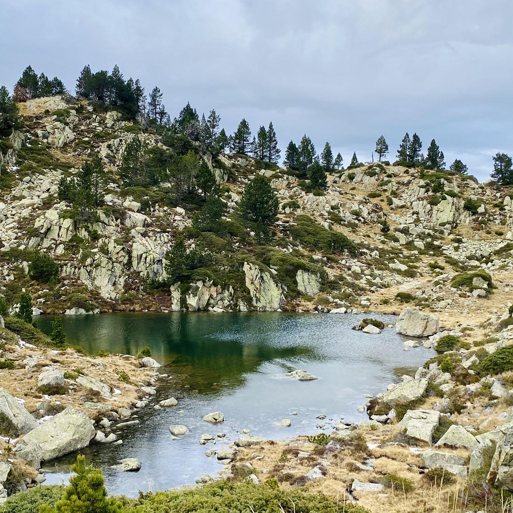
Mountaineering around Beyrède-Jumet offers routes through the Pyrenean landscape, characterized by significant elevation changes, mountain passes, and high-altitude lakes. The region features a mix of open alpine terrain and forested valleys, providing diverse conditions for mountaineering. These routes often involve sustained ascents and descents, leading to panoramic views of the surrounding mountains.
Best mountaineering routes around Beyrède-Jumet
- The most popular mountaineering route is Réservoir des Laquets – Laquette de Gréziolles loop from Caderolles, an 8.2 miles (13.2 km) trail…
Last updated: August 31, 2026
5.0
(5)
14
hikers
13.1km
05:59
810m
810m
Hard mountaineering route. Very good fitness required. Mostly accessible paths. Sure-footedness required.
5.0
(1)
8
hikers
21.9km
09:39
1,610m
1,610m
Hard mountaineering route. Very good fitness required. Mostly accessible paths. Sure-footedness required.

Sign up for free
8
hikers
16.3km
06:47
1,050m
1,050m
Hard mountaineering route. Very good fitness required. Mostly accessible paths. Sure-footedness required.
5
hikers
13.1km
04:28
650m
650m
Moderate mountaineering route. Good fitness required. Easily-accessible paths. Suitable for all skill levels.
4
hikers
11.3km
03:59
620m
620m
Moderate mountaineering route. Good fitness required. Easily-accessible paths. Suitable for all skill levels.
Our route recommendations are based on thousands of hikes, rides, and runs completed by other people on komoot.
Start today with a free account
Your next adventure awaits.
Login or Signup
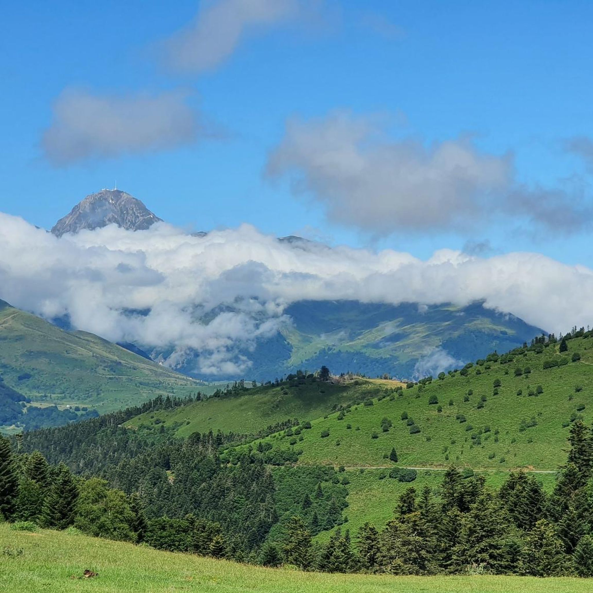
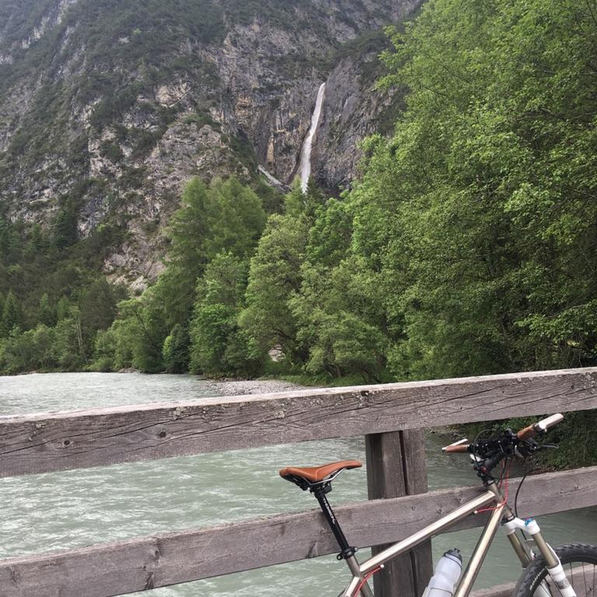

Tips from the Community

There you'll find expert advice on what to do next on your hikes. If you stay the evening, the dining room is welcoming and the meals are delicious and plentiful. The nearby bivouac area can accommodate around ten tents.
0
0

An amazing view, with the added bonus of some spectacular fine dining (book in advance for dining!)
0
0

Ascent to the summit on foot; no cable car access until 2027. No access to the restaurant or restrooms, but drinking water is available.
0
1

Pleasant and legendary climb used by the Tour de France
1
0

Do it in the evening for the sunset, it's magnificent or conversely to admire the sunrise. The night of stars is magnificent! 🤩
0
1

A very nice short hike. The beginning is very steep, then passes through the forest, before becoming open with magnificent views. The return begins with a 10-minute walk through a rather unpleasant meadow, then it's easy.
0
0

Here begins the official start of the climb to the Hourquette d'Ancizan, made in 2024 on the Tour de France. On the program, eight kilometers at an average of 5%.
0
0
Frequently Asked Questions
Are there any easy mountaineering routes suitable for beginners around Beyrède-Jumet?
While this guide focuses on more challenging terrain, there are a couple of moderate mountaineering routes that might be suitable for those with some experience looking for a less strenuous option. Consider the Lac de Payolle – Plo del naou loop from Lac de Payolle, which covers 8.1 miles (13.0 km) with a moderate elevation gain, or the Plo del naou loop from Aspin-Aure, a 6.9 miles (11.1 km) route. Both are rated moderate and offer a good introduction to the region's mountain environment.
What are the typical distances and elevation gains for mountaineering routes in Beyrède-Jumet?
Mountaineering routes in Beyrède-Jumet are characterized by significant elevation changes. Distances typically range from 6.9 miles (11.1 km) to 13.6 miles (22.0 km). You can expect elevation gains between 600 meters and over 1600 meters, with routes like the Col de Sencours loop from Artigues featuring a substantial 1600 meters of ascent.
How long do mountaineering routes near Beyrède-Jumet usually take to complete?
The duration of mountaineering routes in this area varies significantly based on distance, elevation, and your pace. For the routes listed in this guide, you can expect completion times ranging from approximately 4 hours 27 minutes for shorter, moderate trails to over 9 hours 38 minutes for longer, more difficult ones like the Col de Sencours loop from Artigues.
Are there any circular mountaineering routes in the Beyrède-Jumet area?
Yes, all the mountaineering routes highlighted in this guide are circular, allowing you to start and finish at the same point. Examples include the popular Réservoir des Laquets – Laquette de Gréziolles loop from Caderolles and the scenic Lac d'Arizes – La Montagnette loop from Artigues.
What is the best season for mountaineering around Beyrède-Jumet?
The best season for mountaineering in the Pyrenees around Beyrède-Jumet is typically from late spring (June) through early autumn (September). During these months, snowmelt has usually cleared higher passes, and weather conditions are generally more stable, offering clearer trails and more pleasant temperatures. Always check local weather forecasts and trail conditions before heading out.
What kind of wildlife can I expect to see while mountaineering in Beyrède-Jumet?
The Pyrenean landscape around Beyrède-Jumet is home to diverse wildlife. Keep an eye out for chamois and ibex on rocky slopes, marmots in alpine meadows, and various bird species, including raptors like griffon vultures and eagles soaring overhead. Early mornings and late afternoons often provide the best opportunities for wildlife spotting.
Are there any scenic viewpoints or notable landmarks along these mountaineering routes?
Yes, the routes offer numerous panoramic views of the Pyrenees. You'll traverse high mountain passes that serve as excellent viewpoints. Nearby attractions include the famous Col d'Aspin and Hourquette d'Ancizan, both renowned for their stunning vistas. The routes also pass by high-altitude lakes, adding to the scenic beauty.
What should I pack for a summer mountaineering trip in Beyrède-Jumet?
Even in summer, mountain weather can be unpredictable. Essential items include sturdy hiking boots, layered clothing (including waterproof and windproof outer layers), sun protection (hat, sunglasses, sunscreen), plenty of water, high-energy snacks, a map and compass or GPS device, a first-aid kit, and a headlamp. Trekking poles are also highly recommended for stability on varied terrain.
Are there any specific permits required for mountaineering in this region?
Generally, no specific permits are required for day mountaineering trips on established trails in the Beyrède-Jumet area. However, it's always advisable to check with local tourist information centers or national park authorities for any specific regulations or temporary restrictions, especially if you plan to venture into protected areas or undertake multi-day expeditions.
Where can I find parking for the trailheads around Beyrède-Jumet?
Many of the mountaineering routes in the Beyrède-Jumet area, particularly those starting from locations like Artigues or near Lac de Payolle, have designated parking areas at or close to the trailheads. These are often small mountain car parks. It's recommended to arrive early, especially during peak season, as spaces can fill up quickly.
What do other mountaineers enjoy most about the routes in Beyrède-Jumet?
The mountaineering routes around Beyrède-Jumet are highly rated by the komoot community, with an average score of 5.0 stars. Reviewers often praise the challenging ascents, the rewarding panoramic views of the Pyrenees, and the serene beauty of the high-altitude lakes and alpine meadows encountered along the way.
Are there any places to eat or drink after a mountaineering trip near Beyrède-Jumet?
After a challenging day of mountaineering, you can find options for refreshments in nearby villages. For example, the town of Arreau, a short drive from many trailheads, offers a selection of cafes and restaurants where you can refuel and relax.
Most popular routes around Beyrède-Jumet
Most popular attractions around Beyrède-Jumet

Get inspired with the komoot mobile app


Explore more
Browse the best Mountain Hikes & Routes in other regions.
