The best running trails around Montlevicq
4.8
(9)
403
runners
88
runs
Jogging around Montlevicq offers varied terrain through its distinctive "bocage" landscape, characterized by hedged fields and open pastures. The Igneraie River winds through the region, providing scenic routes alongside cultivated lands. Historical elements, including a church and a 15th-century castle on high ground, offer elevated points for challenging climbs and panoramic views. Established paths, such as the "Promenade autour du village," provide well-defined options for exploring the local scenery.
Best jogging routes around Montlevicq
- The most popular jogging route is…
Last updated: July 8, 2026
26
runners
60.4km
06:56
790m
790m
Hard run. Very good fitness required. Mostly paved surfaces. Suitable for all skill levels.
5.0
(4)
16
runners
7.41km
00:48
70m
70m
Moderate run. Good fitness required. Mostly paved surfaces. Suitable for all skill levels.

Sign up for free
15
runners
11.5km
01:19
170m
170m
Moderate run. Good fitness required. Mostly paved surfaces. Suitable for all skill levels.
5.0
(1)
6
runners
11.0km
01:16
90m
90m
Moderate run. Good fitness required. Mostly paved surfaces. Suitable for all skill levels.
2
runners
13.8km
01:34
110m
110m
Moderate run. Good fitness required. Mostly paved surfaces. Suitable for all skill levels.
Get access to more routes and recommendations from other explorers.
Sign up for free
Already have an account?
Our route recommendations are based on thousands of hikes, rides, and runs completed by other people on komoot.
Start today with a free account
Your next adventure awaits.
Login or Signup

Tips from the Community

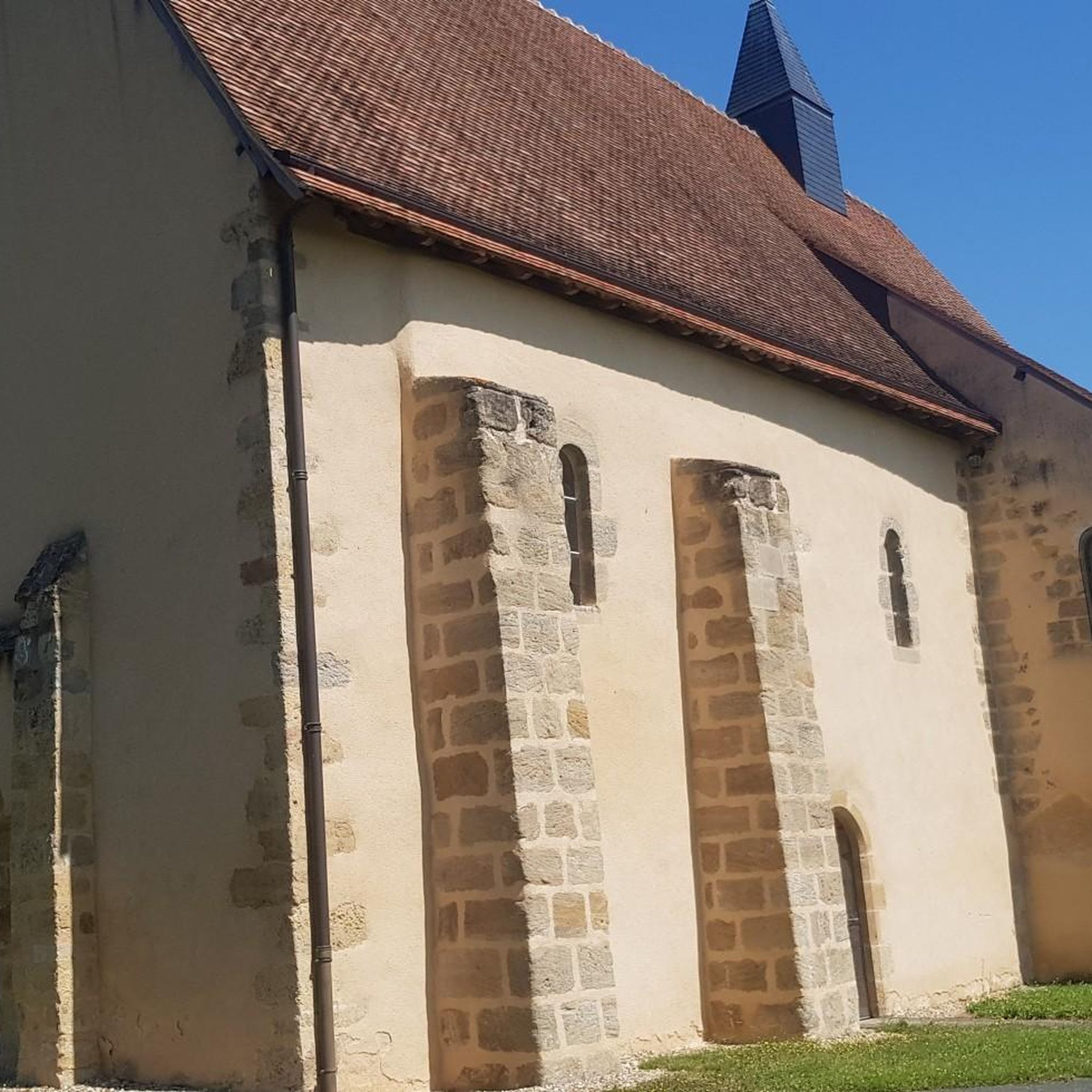
In the heart of La Châtre stands the Église Saint-Germain. Graceful, but with a past that has literally collapsed. In 1896, the bell tower collapsed, dragging the entire church down with it. What you see now is a rebirth in stone. Step back in the square for a moment, look up at the new tower, and imagine the chaos of that time. Inside, the stained-glass windows bathe the light in warm hues, as if the church itself is trying to say, "I'm here again."
3
0

A beautiful church with a great statue of St. James
1
0

Sub-prefecture of Indre, in the 11th century, the town was a feudal castle, seat of a barony of Lower Berry. At the beginning of the 17th century the town became a city of garrisons and magistrates who built beautiful private mansions. In 1737, the former Chauvigny keep became a royal prison.
0
0

Filming location of Jour de Fête by Jacques Tati. Dedicated museum. Beautiful square with its old covered market. the quiches from the bakery are really great value for money!
0
0

Beautiful village with special museum Le Fète du Jour.
0
0
Frequently Asked Questions
How many running routes are available around Montlevicq?
There are over 70 running routes around Montlevicq, offering a wide range of options for different skill levels and preferences. These routes are highly rated by the komoot community, with an average score of 4.8 stars.
What kind of terrain can I expect on running routes in Montlevicq?
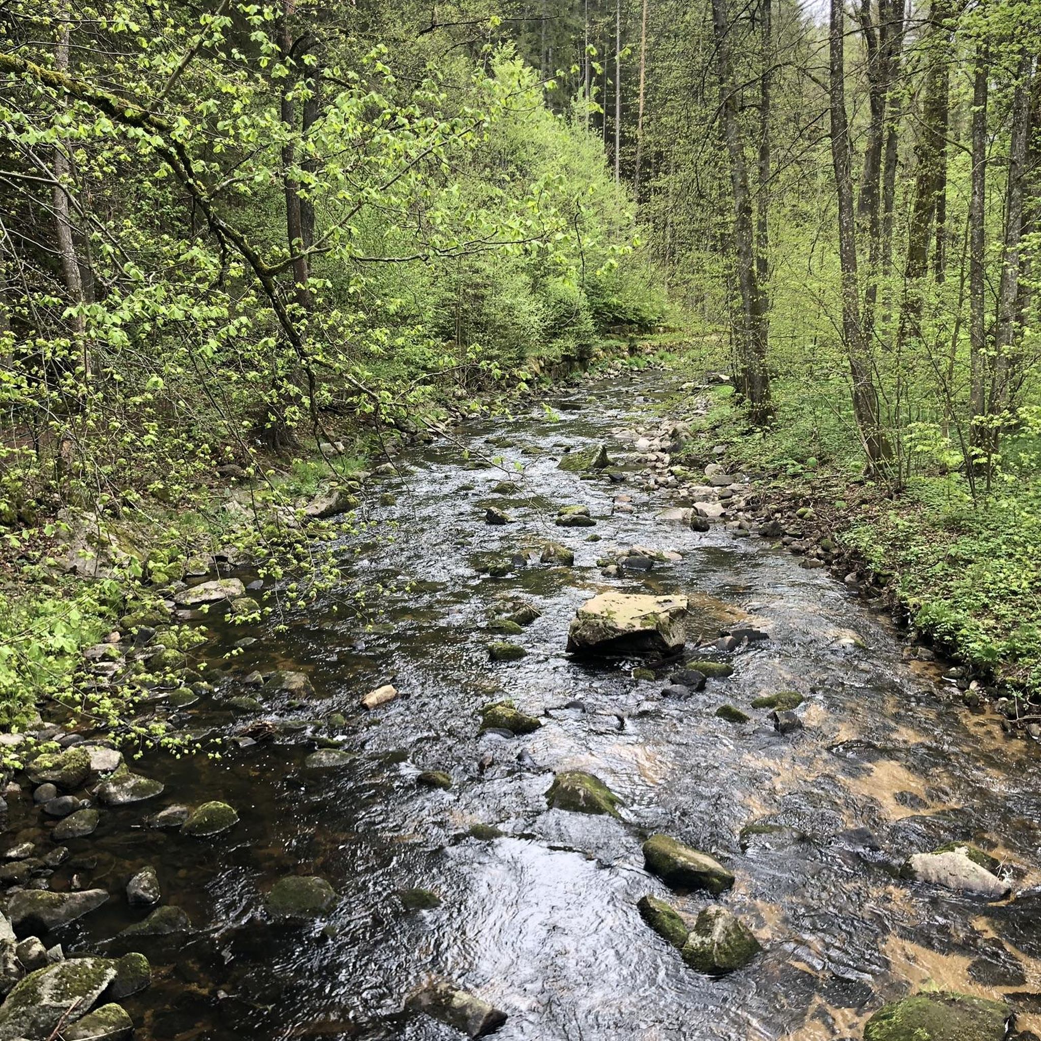
The region around Montlevicq is characterized by its charming "bocage" landscape, featuring hedged fields and open pastures. You'll find a mosaic of green fields and natural boundaries, with varied and aesthetically pleasing routes. The Igneraie River also winds through the landscape, offering scenic paths alongside cultivated lands. Routes can range from gentle gradients through hedged fields to challenging climbs with panoramic views.
Are there routes suitable for beginners or those looking for an easy run?
Yes, Montlevicq offers routes for all abilities. While there are challenging options like the Beautiful secluded road loop from Briantes, you can also find easier paths. For example, the Running loop from Briantes is a moderate 4.6-mile (7.4 km) path featuring gentle gradients through the region's characteristic hedged fields, making it suitable for many runners.
What is the best time of year for jogging in Montlevicq?
Montlevicq's natural landscapes, with open fields and the Igneraie River, offer beauty throughout the seasons. The varied terrain and views change with the seasons, providing a unique experience whether you prefer the lush greenery of spring and summer or the distinct colors of autumn. Always check local weather conditions before heading out.
Are there family-friendly running routes in Montlevicq?
While specific 'family-friendly' designations aren't always applied to running routes, many of the moderate trails with gentle gradients through hedged fields could be suitable for families who enjoy running together. The "Promenade autour du village" is a 14 km walking route that circles the village, offering varied terrain and viewpoints that could be adapted for a family run or walk.
Can I bring my dog on the running trails around Montlevicq?
The natural landscapes and open fields around Montlevicq are generally welcoming for outdoor activities. However, it's always recommended to check local signage and regulations for specific trails, especially concerning nature reserves or private lands, to ensure dogs are permitted and if they need to be on a leash.
What interesting landmarks or attractions can I see while jogging near Montlevicq?
Jogging routes around Montlevicq can lead you past several historical and scenic points of interest. The village itself features a church and a 15th-century castle on high ground, offering superb panoramic views. You might also encounter remnants like 18th-century dovecotes near the church or a tithe barn near the castle. For more detailed exploration, consider visiting the George Sand and Black Valley Museum or the historic Saint-Germain Church of La Châtre.
Is parking available near the running trails in Montlevicq?
While specific parking information for every trail isn't always listed, Montlevicq is a rural area, and parking is generally available in or near villages and trailheads. For routes starting from specific towns like Briantes or La Châtre, you can usually find public parking options. It's advisable to check maps or local information for the specific starting point of your chosen route.
How accessible are Montlevicq's running routes by public transport?
Montlevicq is a rural village in the Indre department of France. Public transport options directly to trailheads might be limited. Access is generally easier by car. However, larger nearby towns like La Châtre may have more public transport connections, from which you could potentially access routes like the Running loop from La Châtre.
What do other runners enjoy most about jogging in Montlevicq?
The running routes in Montlevicq are highly rated by the komoot community, with an average score of 4.8 stars from over 9 reviews. Runners often praise the varied terrain, the picturesque "bocage" landscape with its hedged fields, and the scenic views of the Igneraie River. The mix of open fields and historical elements also adds to the appeal, offering both natural beauty and cultural interest.
Are there any circular running routes in the Montlevicq area?
Yes, many of the running routes around Montlevicq are designed as loops, allowing you to start and finish in the same location. For instance, the Moulin de Fontpisse loop from La Châtre is a moderate 14.7 km route, and the Running loop from Montgivray offers a challenging 16.1 km circuit.
Are there any challenging running routes for experienced runners?
Absolutely. For experienced runners seeking a challenge, Montlevicq offers several difficult routes. The Beautiful secluded road loop from Briantes is a significant 55.1 km trail with considerable elevation gain, taking over 6 hours to complete. Another challenging option is the Running loop from La Châtre, a 23.2 km trail that leads through open fields and past local landmarks.
Most popular attractions around Montlevicq

Get inspired with the komoot mobile app


Explore more
Browse the best Running Trails & Routes in other regions.
