The best mountain hikes around Eaux-Bonnes
4.8
(8)
33
hikers
7
hikes
Mountaineering routes around Eaux-Bonnes traverse a landscape characterized by high-altitude lakes, mountain passes, and varied terrain within the Pyrenees. The region offers a mix of challenging ascents and more accessible paths, often leading through alpine meadows and rocky slopes. Elevation changes are significant, providing diverse experiences for mountaineers.
Best mountaineering routes around Eaux-Bonnes
- The most popular mountaineering route is Lac de Suyen – Larribet Trail loop from Lac de Suyen, a 8.0 miles (12.9 km) trail that takes 5…
Last updated: September 27, 2026
4.5
(4)
13
hikers
15.8km
05:54
680m
680m
Hard mountaineering route. Very good fitness required. Mostly accessible paths. Sure-footedness required.
5.0
(1)
4
hikers
5.81km
01:43
150m
160m
Easy mountaineering route. Great for any fitness level. Easily-accessible paths. Suitable for all skill levels.

4.5
(2)
6
hikers
18.3km
07:00
840m
840m
Hard mountaineering route. Very good fitness required. Mostly accessible paths. Sure-footedness required.
2
hikers
10.3km
04:40
890m
890m
Moderate mountaineering route. Good fitness required. Mostly accessible paths. Sure-footedness required.
5.0
(1)
2
hikers
5.09km
01:28
130m
130m
Easy mountaineering route. Great for any fitness level. Easily-accessible paths. Suitable for all skill levels.
Get access to more routes and recommendations from other explorers.
Already have an account?
Our route recommendations are based on thousands of hikes, rides, and runs completed by other people on komoot.
Start today with a free account
Your next adventure awaits.
Popular around Eaux-Bonnes
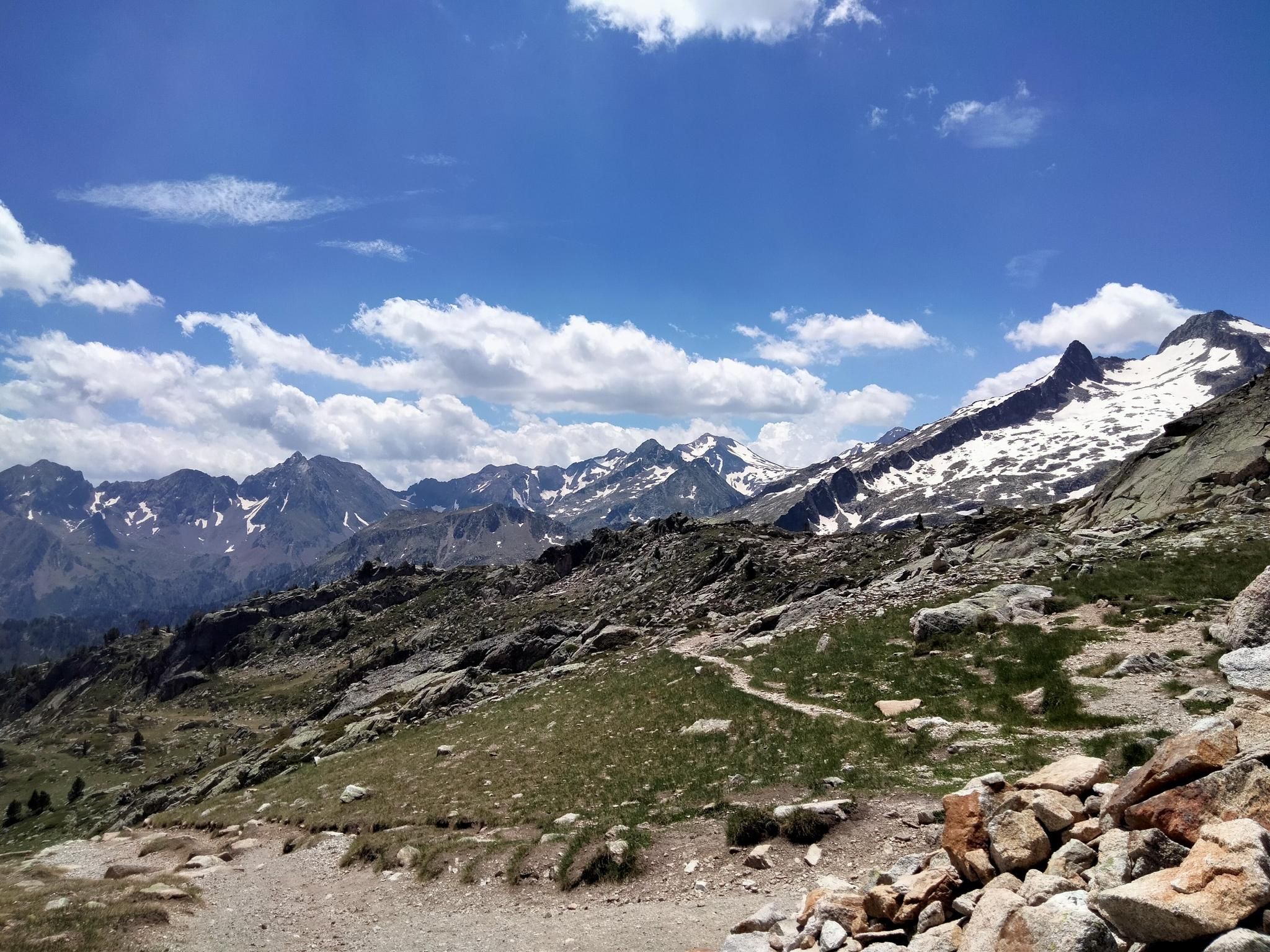
Hexatrek, the western and central Pyrenees – Between mountains and the ocean
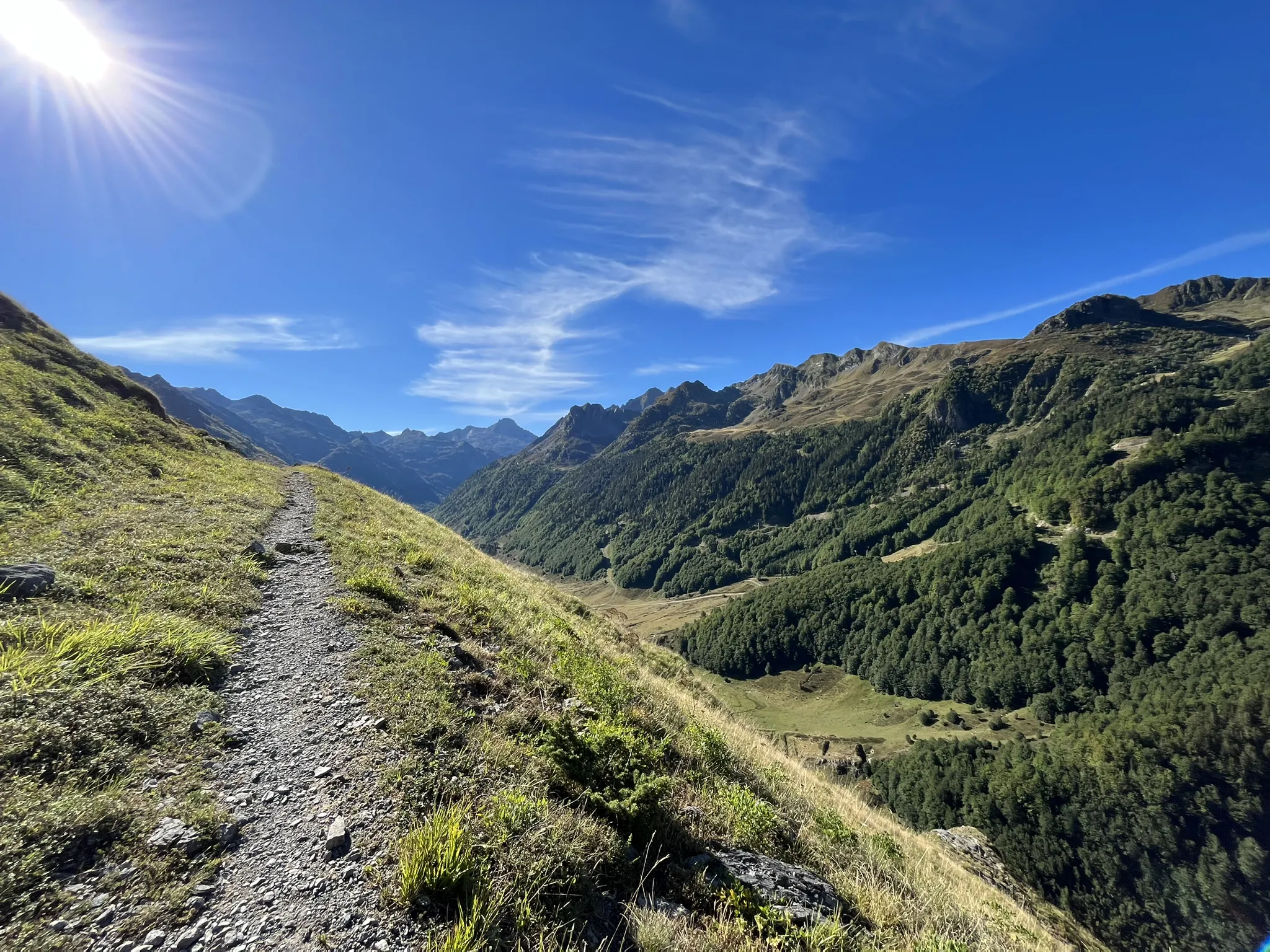
Plateaus, passes and lakes – running in the Ossau Valley
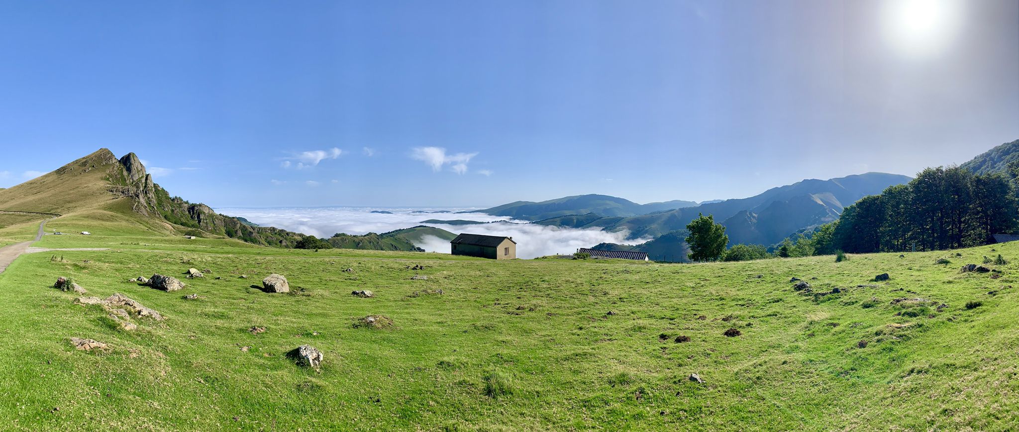
The Western Pyrenees – crossing the Pyrenees on the GR 10
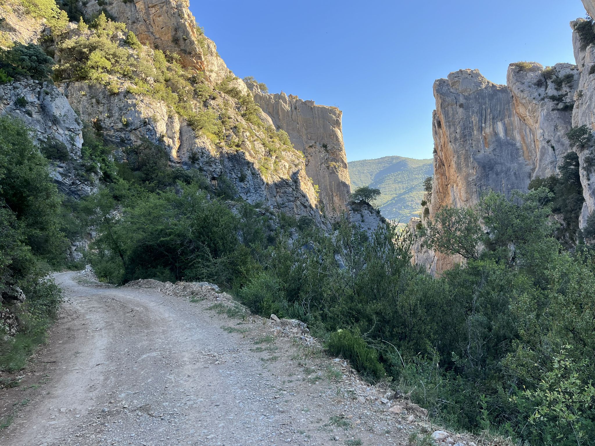
La Esperanza — The Road Of Hope
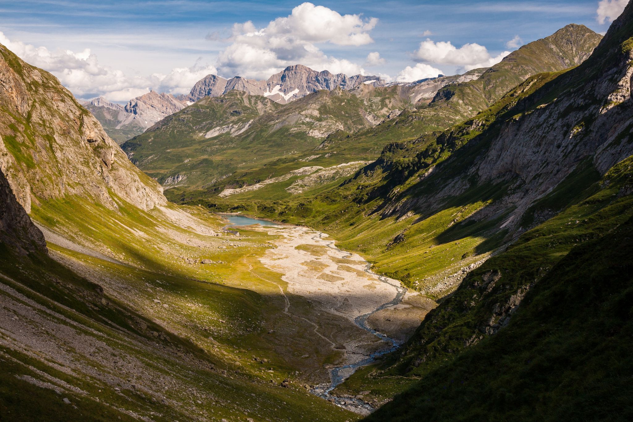
A spectacular crossing — the Pyrenees National Park by the GR10
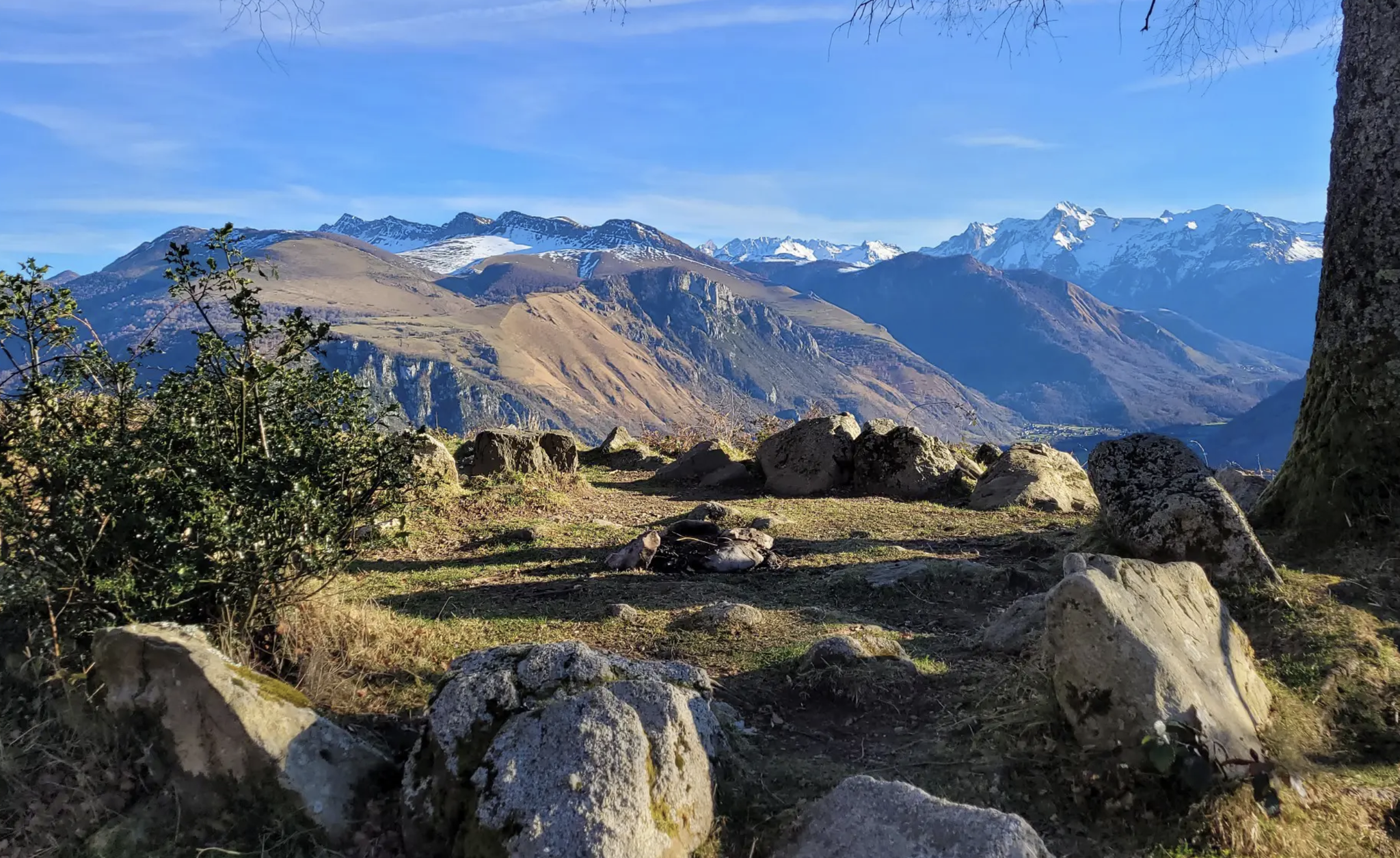
A Pyrenean classic — GRP Tour de la Vallée d'Ossau
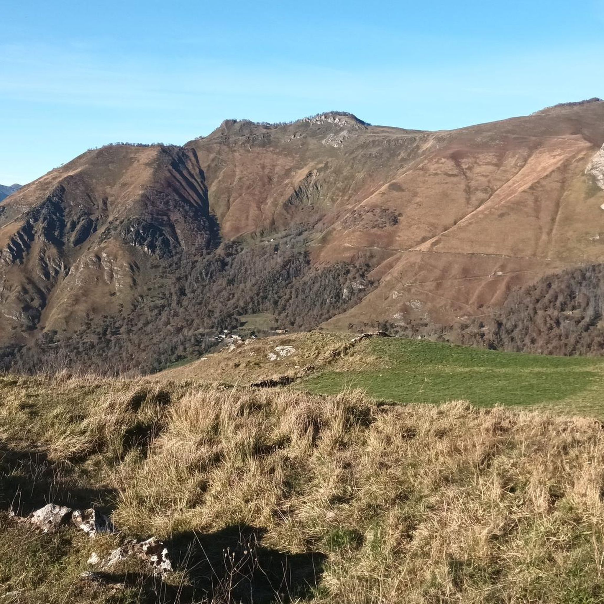
Running Trails around Eaux-Bonnes
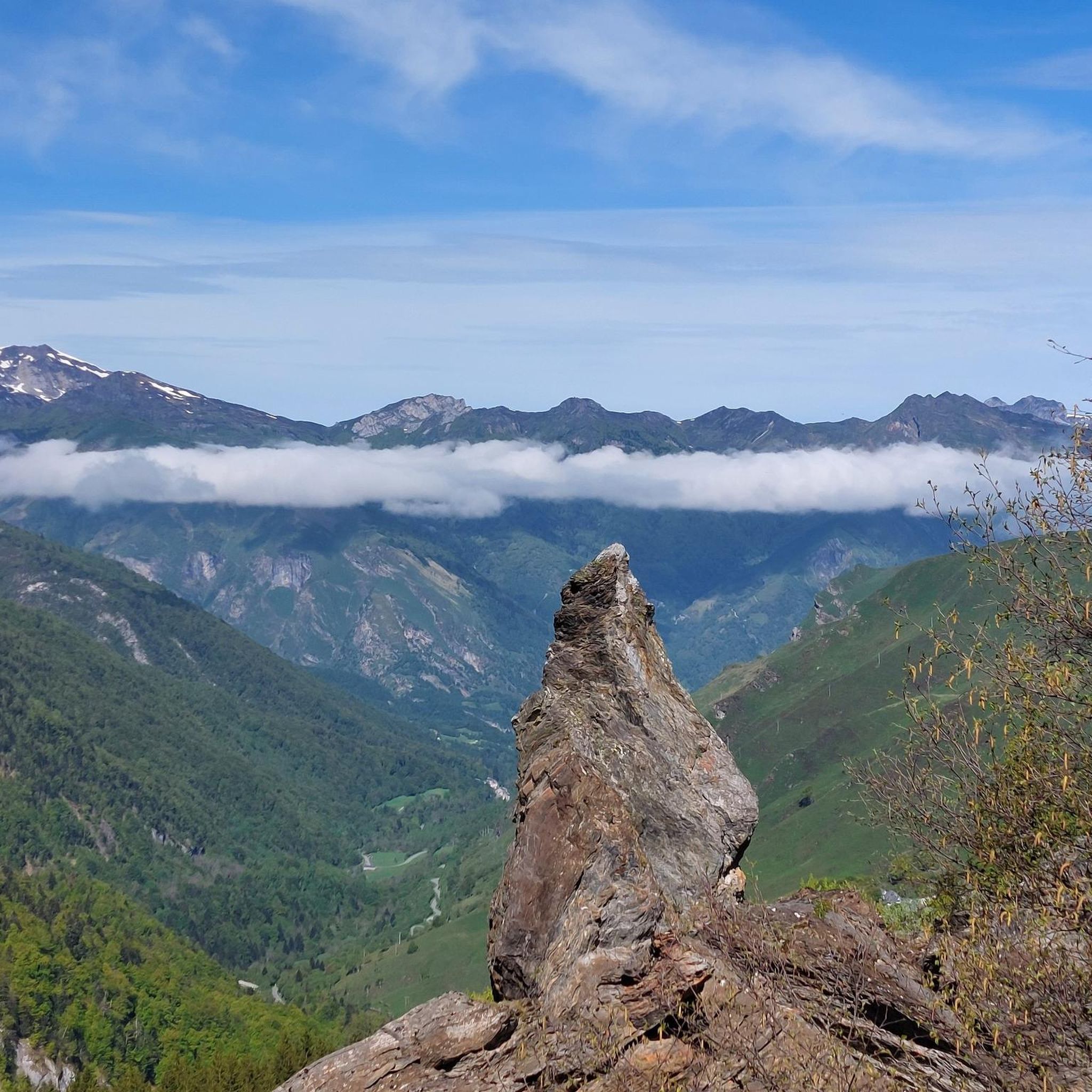
Road Cycling Routes around Eaux-Bonnes
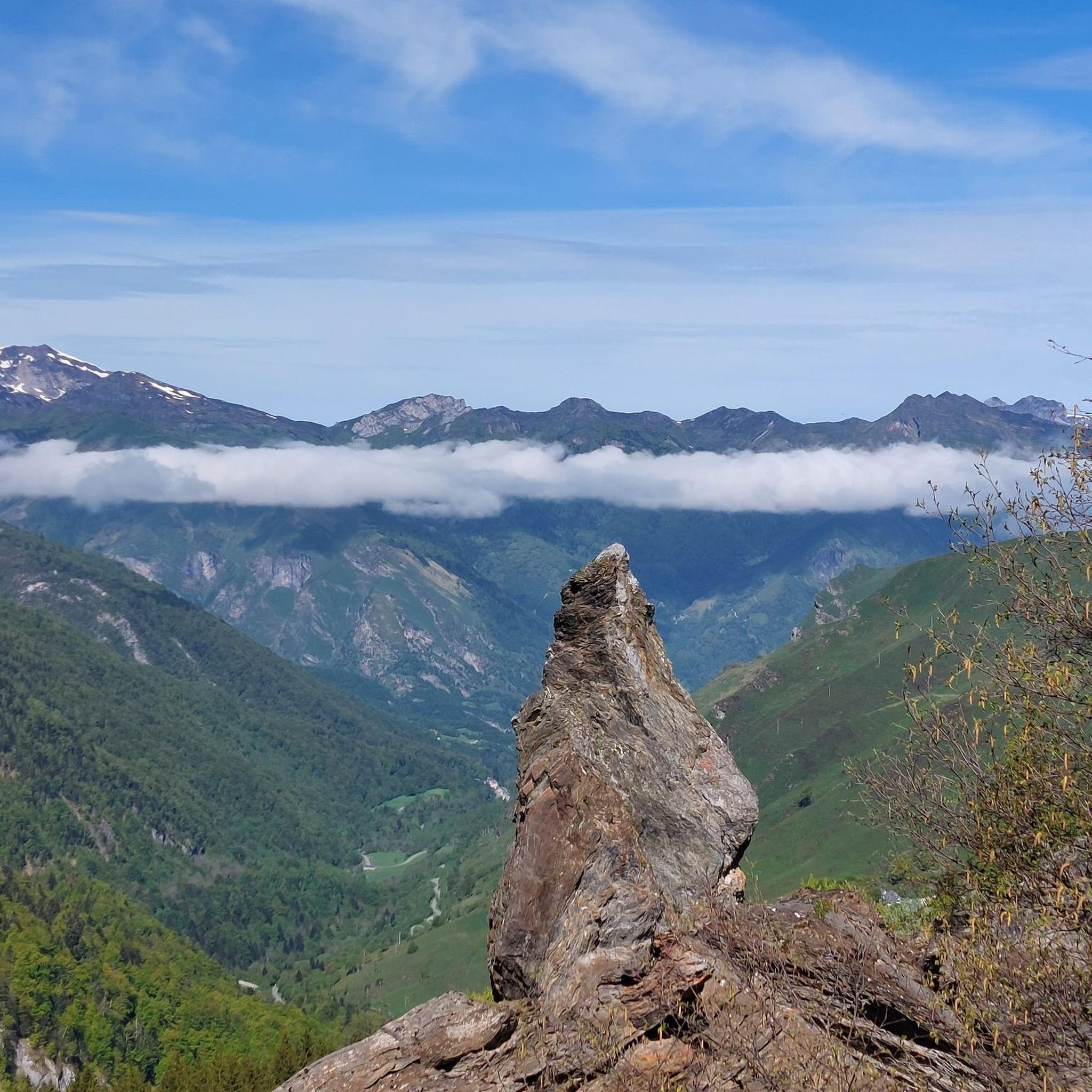
Hiking around Eaux-Bonnes
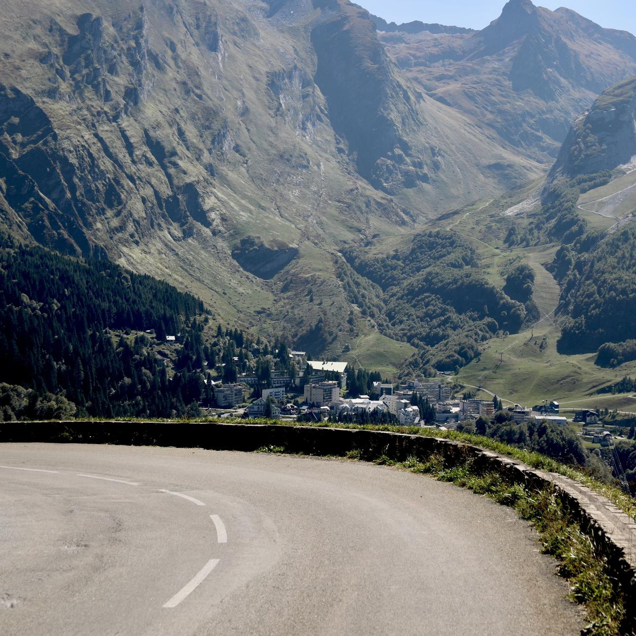
Cycling around Eaux-Bonnes
Other adventures around Eaux-Bonnes


Tips from the Community

Don't hesitate to look behind the pass on the Spanish side, view of the Camp Piano lakes
0
0
Continue to the Liantran Ruins if you are feeling good. It is worth it.
0
0
For those who don't like hiking, a good overview not far from the car. Quietude guaranteed around the lake
0
0


Very good, very warm welcome and splendid view!
0
0

small lake that can be reached via good slopes.
2
0

Ibones with water of a special color. Now, it is a little difficult to go down to them since they are a few dozen meters below the road.
0
0
Frequently Asked Questions
How many mountaineering routes are available in Eaux-Bonnes?
There are 10 distinct mountaineering routes around Eaux-Bonnes listed on komoot, offering a variety of experiences across the Pyrenean landscape.
What are the difficulty levels of mountaineering routes in Eaux-Bonnes?
The routes in Eaux-Bonnes cater to various skill levels. You'll find 2 easy routes, 2 moderate routes, and 6 difficult routes, ensuring options for both beginners and experienced mountaineers.
Are there easy mountaineering routes suitable for beginners in Eaux-Bonnes?
Yes, there are easy routes perfect for beginners. For instance, the Col du Soulor – Soum Lake loop from Col du Soulor is an easy 3.7-mile (6.0 km) trail that takes about 1 hour 46 minutes, leading through mountain passes and near alpine lakes.
Where can I find challenging mountaineering trails in Eaux-Bonnes?
For challenging experiences, Eaux-Bonnes offers several difficult routes. A notable one is the Lac de Suyen – Larribet Trail loop from Lac de Suyen, an 8.0-mile (12.9 km) trail with substantial elevation gain, typically taking over 5 hours to complete.
What kind of terrain can I expect on mountaineering routes around Eaux-Bonnes?
Mountaineering routes in Eaux-Bonnes traverse a diverse Pyrenean landscape, featuring high-altitude lakes, mountain passes, alpine meadows, and rocky slopes. You can expect significant elevation changes and varied terrain.
Are there any circular mountaineering routes in Eaux-Bonnes?
Yes, many routes in Eaux-Bonnes are circular. Examples include the Lake d'Estaing – Plaa de Prat lake loop from Lac d'Estaing, a moderate 7.9-mile (12.7 km) path, and the Col du Soulor – Soum Lake loop from Col du Soulor.
What are some notable natural attractions or landmarks to see along the routes?
The Eaux-Bonnes area is rich in natural beauty. Along your routes, you might encounter stunning mountain passes like Col du Soulor and Col d'Aubisque, or beautiful lakes such as Lac d'Estaing, Montagnon Lake, and Lake Arrious.
Are there family-friendly mountaineering options in Eaux-Bonnes?
While mountaineering often implies more challenging terrain, some moderate routes, especially those around lakes, can be suitable for families with some hiking experience. The Lake d'Estaing – Plaa de Prat lake loop from Lac d'Estaing offers scenic views and is a moderate option.
What is the best season for mountaineering in Eaux-Bonnes?
The best season for mountaineering in the Pyrenees around Eaux-Bonnes is typically from late spring to early autumn (June to September) when snow has largely melted from higher elevations and weather conditions are more stable. Always check local forecasts before heading out.
What do other mountaineers say about the routes in Eaux-Bonnes?
The mountaineering routes in Eaux-Bonnes are highly rated by the komoot community, with an average score of 4.8 stars from over 10 reviews. Mountaineers frequently praise the high mountain scenery, diverse terrain, and the rewarding views of the Pyrenees.
Is parking available near the mountaineering trailheads in Eaux-Bonnes?
Yes, parking is generally available near popular trailheads and starting points for mountaineering routes in the Eaux-Bonnes region, such as Lac de Suyen, Lac d'Estaing, and Col du Soulor. It's advisable to arrive early during peak season.
What should I wear or bring for mountaineering in Eaux-Bonnes?
Given the varied terrain and elevation changes in the Pyrenees, it's essential to wear sturdy hiking boots, layerable clothing suitable for changing mountain weather, and bring a backpack with water, snacks, a map, compass or GPS, and sun protection. Trekking poles can also be beneficial.
Most popular routes around Eaux-Bonnes
Most popular attractions around Eaux-Bonnes

Get inspired with the komoot mobile app


Explore more
Browse the best Mountain Hikes & Routes in other regions.
