The best running trails around Lafresguimont-Saint-Martin
4.0
(2)
238
runners
57
runs
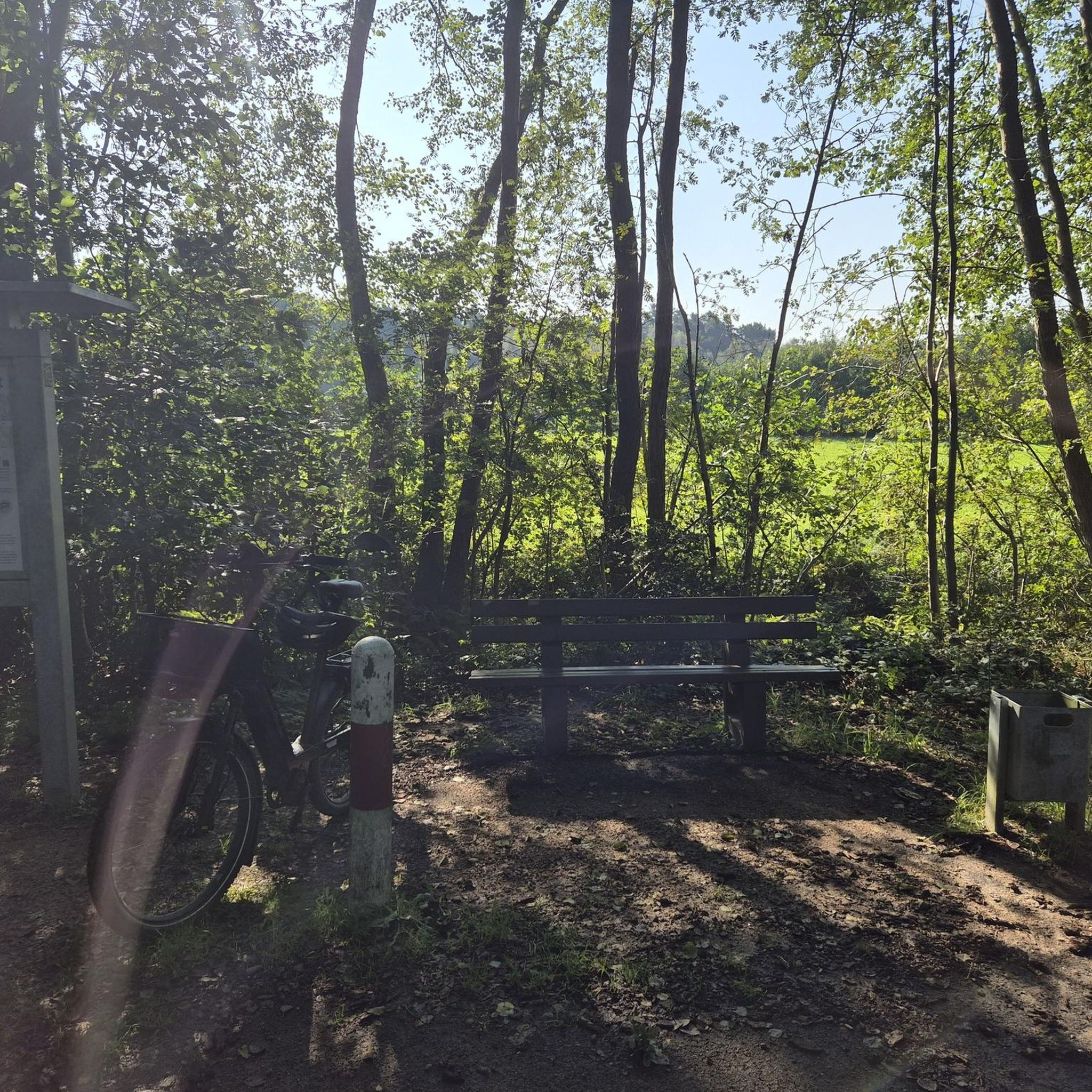
Jogging around Lafresguimont-Saint-Martin offers access to diverse and accessible natural landscapes within the Somme department of the Hauts-de-France region. The area features a network of trails across a gently undulating Picardy plateau, with an average elevation of 185 meters. Runners can expect a mix of wooded areas and open countryside, providing varied terrain for different fitness levels. The broader region is known for its landscapes encompassing forests and rivers, enriching the outdoor experience.
Best jogging routes around Lafresguimont-Saint-Martin
- The most…
Last updated: July 8, 2026
43
runners
11.0km
01:17
200m
200m
Moderate run. Good fitness required. Mostly paved surfaces. Suitable for all skill levels.
6
runners
11.3km
01:17
100m
100m
Moderate run. Good fitness required. Mostly paved surfaces. Suitable for all skill levels.

Sign up for free
5
runners
6.66km
00:46
90m
90m
Moderate run. Good fitness required. Mostly paved surfaces. Suitable for all skill levels.
4
runners
13.7km
01:30
210m
210m
Moderate run. Good fitness required. Mostly paved surfaces. Suitable for all skill levels.
4
runners
6.56km
00:41
30m
30m
Moderate run. Good fitness required. Mostly paved surfaces. Suitable for all skill levels.
Get access to more routes and recommendations from other explorers.
Sign up for free
Already have an account?
Our route recommendations are based on thousands of hikes, rides, and runs completed by other people on komoot.
Start today with a free account
Your next adventure awaits.
Login or Signup




Frequently Asked Questions
How many running routes are available around Lafresguimont-Saint-Martin?
There are over 50 jogging routes available in the Lafresguimont-Saint-Martin area. These routes cater to various fitness levels, ranging from easy strolls to more challenging runs.
Are there easy running routes suitable for beginners or families?
Yes, the region offers several easily accessible paths perfect for beginners or family outings. For instance, the Étangs de Fleuzy loop from Aumale is a moderate 6.1 km trail with minimal elevation gain, making it a great option for a relaxed run.
What kind of terrain can I expect on the running trails?
The trails around Lafresguimont-Saint-Martin generally feature accessible paths across a gently undulating Picardy plateau. You can expect a mix of wooded areas and open countryside, typical of the Somme department's diverse landscapes, which include areas between sea, forest, and rivers. The average elevation of the commune is 185 meters, providing varied terrain without being overly strenuous.
Are there any more challenging routes for experienced runners?
Absolutely. For those seeking a more challenging workout, routes like the Running loop from Le Quesne offer a notable elevation gain of 178 meters over 11.3 km. Another option is the Bois de Runeval loop from Ellecourt, which spans 13.6 km with over 213 meters of ascent.
Are there circular running routes in the area?
Many of the running paths around Lafresguimont-Saint-Martin are designed as loops, offering convenient circular routes. Examples include the Étangs de Fleuzy loop from Aumale and the Bois du Varambeaumont loop from Aumale, both providing a varied experience that brings you back to your starting point.
What natural features or landmarks can I see while running?
While running, you'll experience the diverse natural environments of the Somme department. Approximately 13 km from Lafresguimont-Saint-Martin lies Montagne de Montenoy, a significant natural site known for its 'pelouses calcaires' (calcareous grasslands), offering unique ecological interest and scenic views.
What do other runners say about the trails in Lafresguimont-Saint-Martin?
The running routes in Lafresguimont-Saint-Martin are highly rated by the komoot community, with an average score of 3.8 stars from 4 reviews. Over 200 runners have explored the varied terrain, often praising the accessible paths and the mix of wooded areas and open countryside.
Are there any running routes that go through forests or wooded areas?
Yes, several routes lead through beautiful wooded areas. The Bois du Varambeaumont loop from Aumale is a popular 11.3 km trail that takes you through enchanting woodlands, offering a refreshing and shaded running experience.
How can I find parking near the running trails?
Many routes start from villages like Aumale, Le Quesne, or Ellecourt, where public parking is generally available. It's advisable to check the specific route details on komoot for information on starting points and potential parking facilities.
Is public transport available to access the running routes?
While Lafresguimont-Saint-Martin is a rural commune, some larger towns nearby, such as Aumale, may have limited public transport connections. For detailed information on reaching specific trailheads, it's recommended to consult local transport schedules or plan your journey by car.
Are there options for longer distance running?
Yes, if you're looking for longer runs, routes like the Bois de Runeval loop from Ellecourt cover 13.6 km. You can also combine shorter loops or explore the extensive trail network to create your own longer running adventures.
What is the best time of year to go running in this region?
The region's diverse landscapes are enjoyable throughout the year. Spring and autumn offer pleasant temperatures and beautiful scenery with changing foliage. Summer is also suitable, especially in wooded areas, while winter runs can be refreshing, provided paths are clear.
Most popular routes around Lafresguimont-Saint-Martin

Get inspired with the komoot mobile app


Explore more
Browse the best Running Trails & Routes in other regions.
