The best mountain hikes around Le Claux
5.0
(7)
16
hikers
3
hikes
Mountaineering routes around Le Claux traverse the dramatic volcanic landscapes of the Massif Central, specifically within the Monts du Cantal and the Parc Naturel Régional des Volcans d'Auvergne. The region is characterized by ancient volcanic peaks, deep gorges, and expansive meadows, offering a diverse terrain for ascents. Prominent features include the remnants of Europe's largest stratovolcano, with significant summits like Puy Mary and Plomb du Cantal. The area also features impressive gorges and dense beech forests, providing varied environments for…
Last updated: June 24, 2026
5.0
(4)
6
hikers
20.8km
07:42
1,030m
1,030m
Hard mountaineering route. Very good fitness required. Sure-footedness, sturdy shoes and alpine experience required.
5.0
(1)
5
hikers
11.5km
04:43
690m
690m
Hard mountaineering route. Good fitness required. Sure-footedness, sturdy shoes and alpine experience required.

Sign up for free
5.0
(1)
3
hikers
6.55km
02:35
370m
370m
Hard mountaineering route. Good fitness required. Sure-footedness, sturdy shoes and alpine experience required.
5.0
(1)
2
hikers
6.09km
01:45
150m
150m
Easy mountaineering route. Great for any fitness level. Easily-accessible paths. Suitable for all skill levels.
Our route recommendations are based on thousands of hikes, rides, and runs completed by other people on komoot.
Start today with a free account
Your next adventure awaits.
Login or Signup
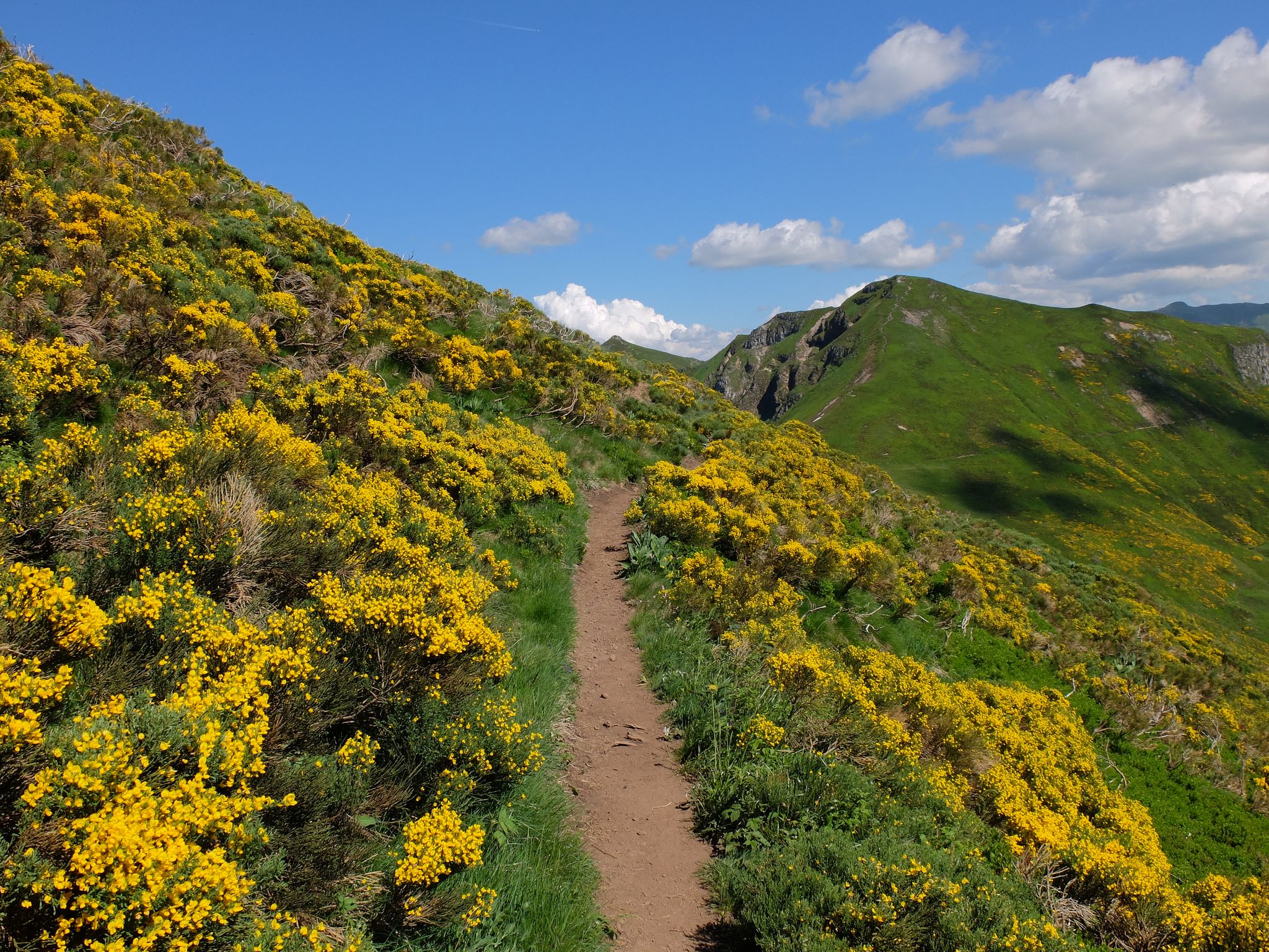
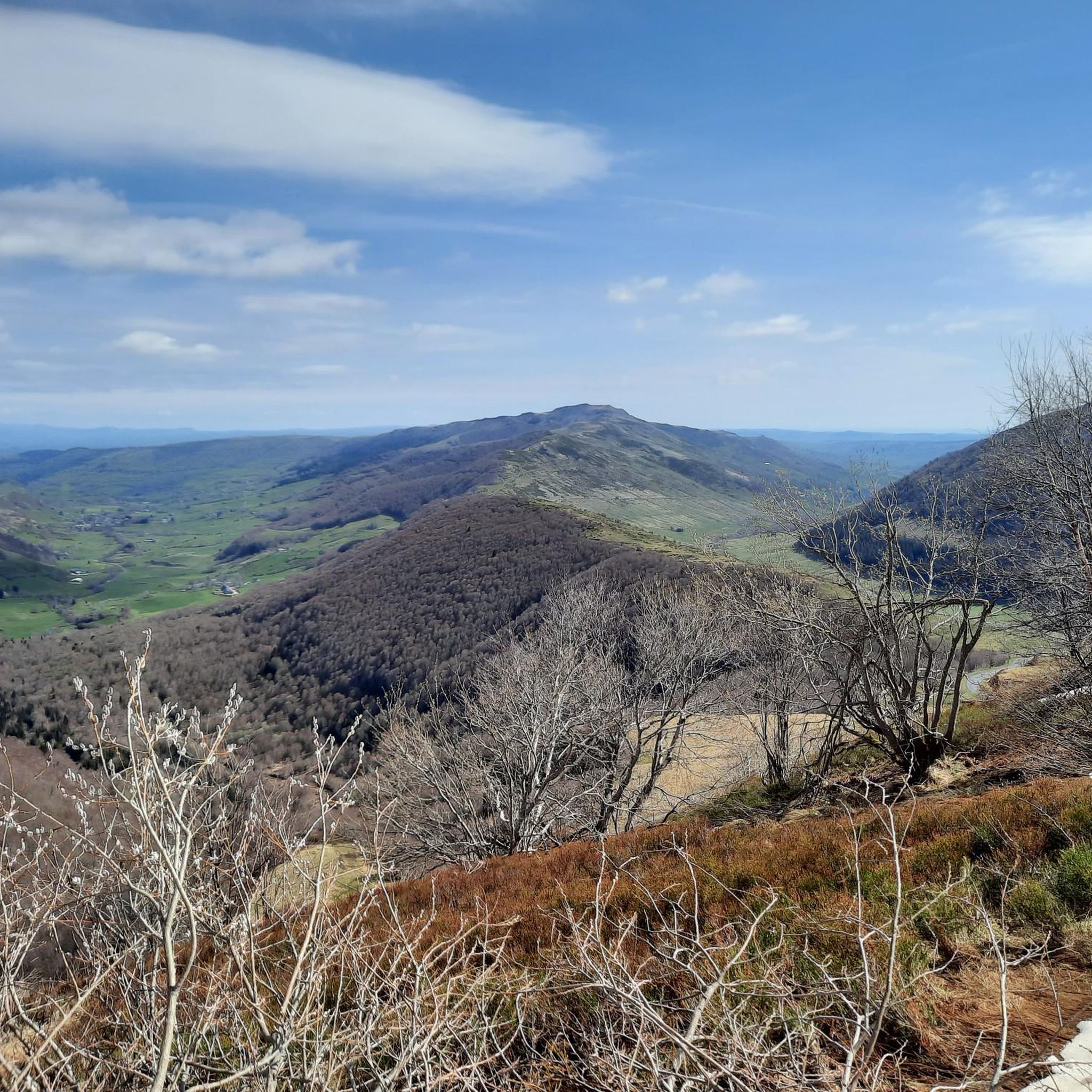
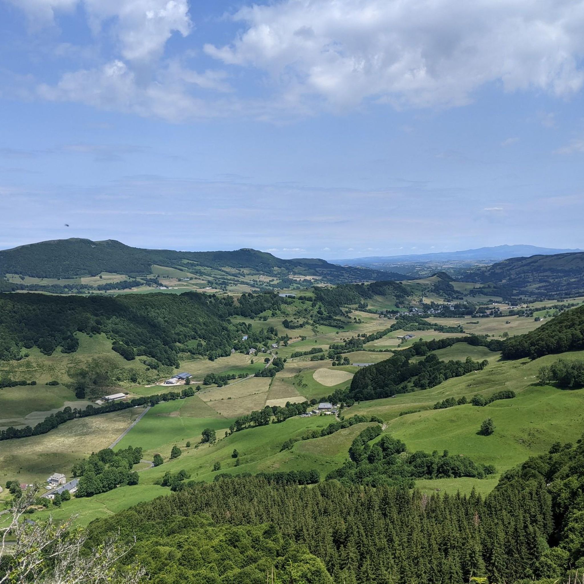
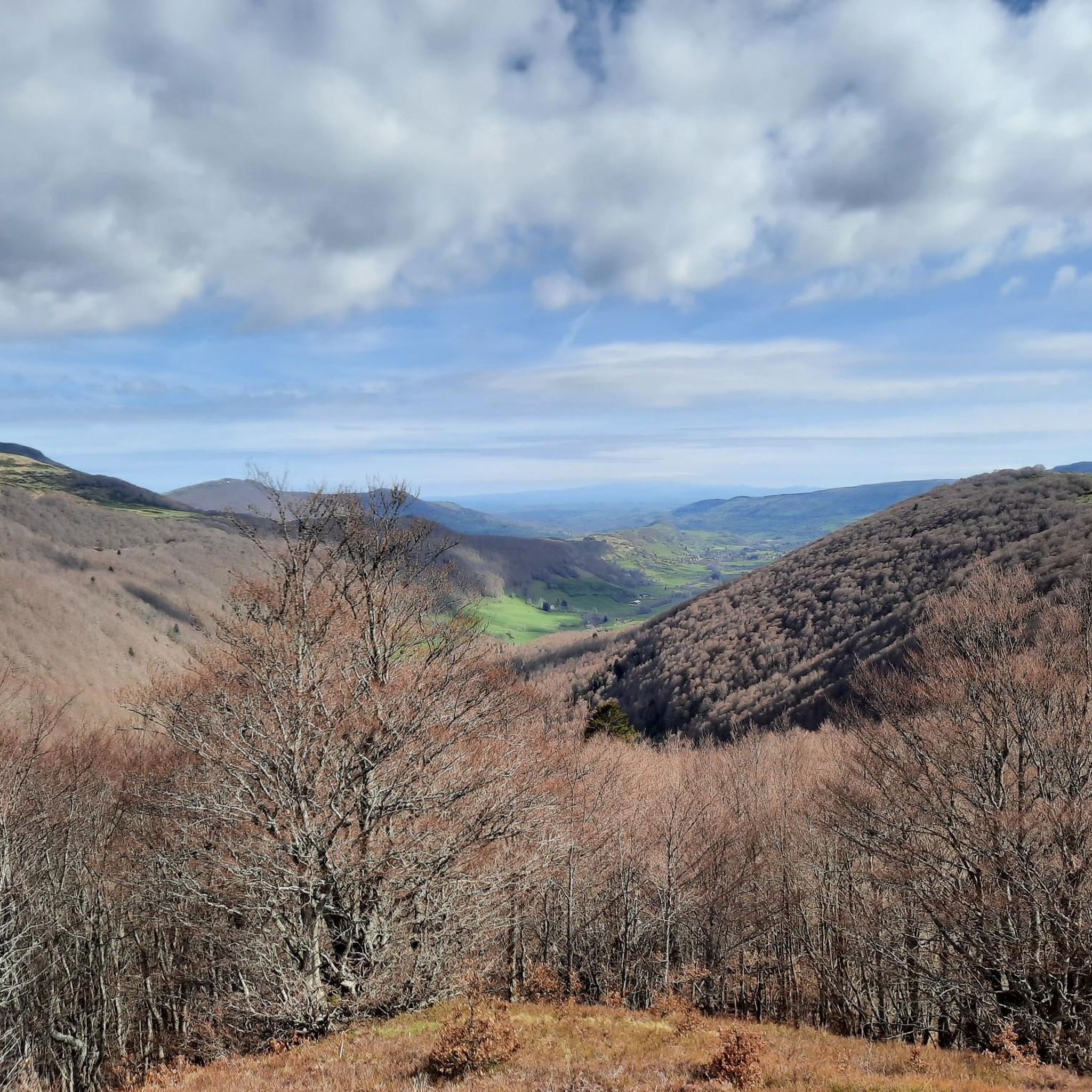
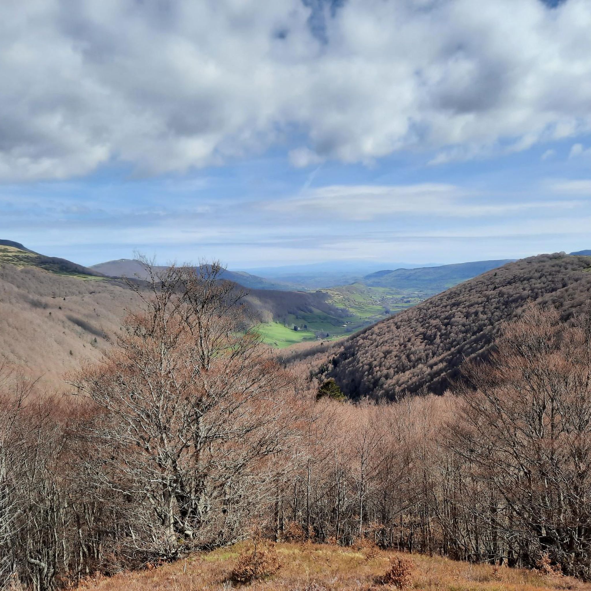
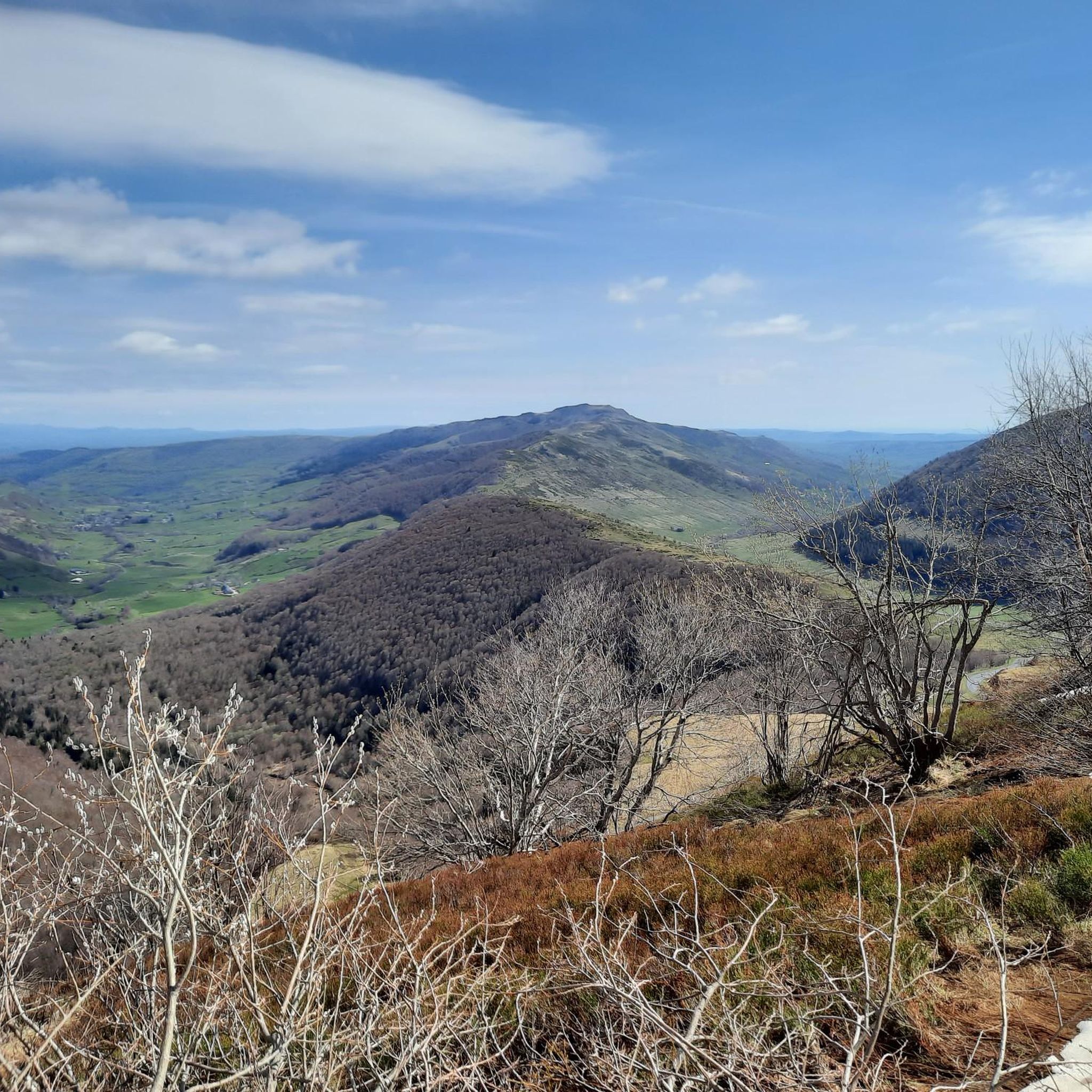

Other adventures around Le Claux

Tips from the Community

Superb and eating at the buron moved
0
0

A magnificent site where the panoramas are breathtaking!!!
0
0

The Rolland Breach was mildly challenging for this 72yo when dry. Descending in the wet would need good grippy footwear. There is an alternative GR400 track bypass
0
0

Here begin the characteristic steps that allow access to the Puy Mary. The result is a beautiful perspective of this emblematic summit of the Cantal mountains.
1
0

nice climb and good visibility over the valley
0
0

At an altitude of 1,588 meters, the Pas de Peyrol is located between the Puy Mary and the Puy de la Tourte. It is known to be the highest road pass in the Massif Central and is worth it, because the last few kilometers have high percentages. There you can admire Puy Mary which peaks at an altitude of 1,783 metres. It is one of the peaks of the Cantal mountains. It is easily recognizable with its pyramidal silhouette.
1
0
Frequently Asked Questions
What kind of terrain can I expect on mountaineering routes around Le Claux?
Mountaineering routes around Le Claux traverse the dramatic volcanic landscapes of the Massif Central, specifically within the Monts du Cantal and the Parc Naturel Régional des Volcans d'Auvergne. You'll encounter ancient volcanic peaks, deep gorges, and expansive meadows, offering a diverse and challenging terrain for ascents. The area is part of Europe's largest stratovolcano, providing a unique and rugged environment.
Are there any circular mountaineering routes available near Le Claux?
Yes, several mountaineering routes around Le Claux are circular. For instance, you could explore the Puy du Rocher 1813m – Plomb du Cantal, 1,855 m loop from Super Lioran, which is a challenging 12.6 km trail. Another option is the Puy Chavaroche – Redondet Pass loop from Mandailles, covering 11.5 km and offering views of volcanic terrain.
What are some notable peaks or summits I can reach on a mountaineering tour in this region?
The Le Claux region is rich in prominent peaks. You can aim for the Puy Mary Summit, a designated 'Grand Site de France' known for its panoramic views. Other significant summits include Plomb du Cantal, Puy Peyre-Arse, and Puy Griou, all offering challenging ascents and expansive vistas.
What is the general difficulty level of mountaineering routes around Le Claux?
The mountaineering routes around Le Claux are generally considered challenging. All 10 routes listed in this guide are rated as 'difficult', requiring good physical condition and experience. They often involve significant elevation gain and varied terrain, typical of volcanic landscapes.
Are there any impressive natural features like gorges or waterfalls to see while mountaineering?
Yes, the region boasts impressive natural features. You can find deep gorges such as the Gorges de la Rhue and the Gorges de la Jordanne. While specific waterfalls aren't directly on the listed mountaineering routes, the area is known for picturesque natural spectacles like the Cascade de Liadouze and Cascades du Sartre, which can be explored separately or as part of other hikes.
What do other mountaineers say about their experience in Le Claux?
The mountaineering routes around Le Claux are highly rated by the komoot community, with an average score of 4.7 stars from over 9 reviews. Mountaineers often praise the challenging ascents, the dramatic volcanic landscapes, and the panoramic views from the summits and mountain passes.
Are there any mountain passes that offer great views or serve as access points for routes?
Absolutely. Several significant mountain passes in the area offer stunning vistas and serve as gateways to various hiking routes. Notable passes include Pas de Peyrol Pass (1,589 m), Roland's Breach, and Neronne Pass. These passes provide unique perspectives of the Cantal massif and are often starting points for challenging ascents.
How long do mountaineering routes typically take to complete in Le Claux?
The duration of mountaineering routes varies depending on the specific trail and your pace. For example, the Ridge line – Puy Mary Summit loop from Mandailles is a longer route, often taking around 7 hours 42 minutes. Shorter, yet still difficult, options like the Bec de l'Aigle – Col de Rombière loop from Super Lioran can be completed in about 3 hours 14 minutes.
Can I find routes that explore ridge sections in the Le Claux area?
Yes, the volcanic terrain around Le Claux offers opportunities to explore scenic ridge sections. The Ridge line – Puy Mary Summit loop from Mandailles is a prime example, leading you along exposed ridges and to the summit of Puy Mary, providing expansive views for experienced hikers.
Are there any specific routes that start from Super Lioran?
Yes, Super Lioran serves as a starting point for several mountaineering routes. You can embark on the Puy du Rocher 1813m – Plomb du Cantal, 1,855 m loop from Super Lioran, a challenging 12.6 km trail. Another option is the Mountaineering loop from Super Lioran, which covers about 8.0 km.
What kind of natural environment can I expect to see along the trails?
Beyond the volcanic peaks and gorges, the landscape around Le Claux is characterized by dense beech forests and flower-filled meadows. These diverse environments add to the scenic variety you'll experience during your mountaineering adventures, especially during spring and summer.
Most popular attractions around Le Claux

Get inspired with the komoot mobile app


Explore more
Browse the best Mountain Hikes & Routes in other regions.
