The best running trails around Saint-Hilaire-En-Lignières
4.0
(1)
66
runners
22
runs
Jogging routes around Saint-Hilaire-En-Lignières traverse a landscape characterized by hedged farmland, forests, and the Arnon River valley. The region features varied elevation, ranging from 159 to 268 meters, offering a mix of flat stretches and gentle inclines. Natural features include the Wood of Malvève and the ecologically significant lower Arnon valley, a Natura 2000 site. This area provides a diverse natural setting for running.
Best jogging routes around Saint-Hilaire-En-Lignières
- The most popular jogging route is Running loop from Lignières,…
Last updated: July 2, 2026
6
runners
8.33km
00:53
30m
30m
Moderate run. Good fitness required. Mostly paved surfaces. Suitable for all skill levels.
4.0
(1)
6
runners
4.99km
00:31
10m
10m
Easy run. Great for any fitness level. Mostly paved surfaces. Suitable for all skill levels.

Sign up for free
3
runners
7.46km
00:52
30m
30m
Moderate run. Good fitness required. Mostly paved surfaces. Suitable for all skill levels.
4
runners
9.69km
01:01
60m
60m
Moderate run. Good fitness required. Mostly paved surfaces. Suitable for all skill levels.
3
runners
6.54km
00:44
60m
60m
Moderate run. Good fitness required. Mostly paved surfaces. Suitable for all skill levels.
Get access to more routes and recommendations from other explorers.
Sign up for free
Already have an account?
Our route recommendations are based on thousands of hikes, rides, and runs completed by other people on komoot.
Start today with a free account
Your next adventure awaits.
Login or Signup
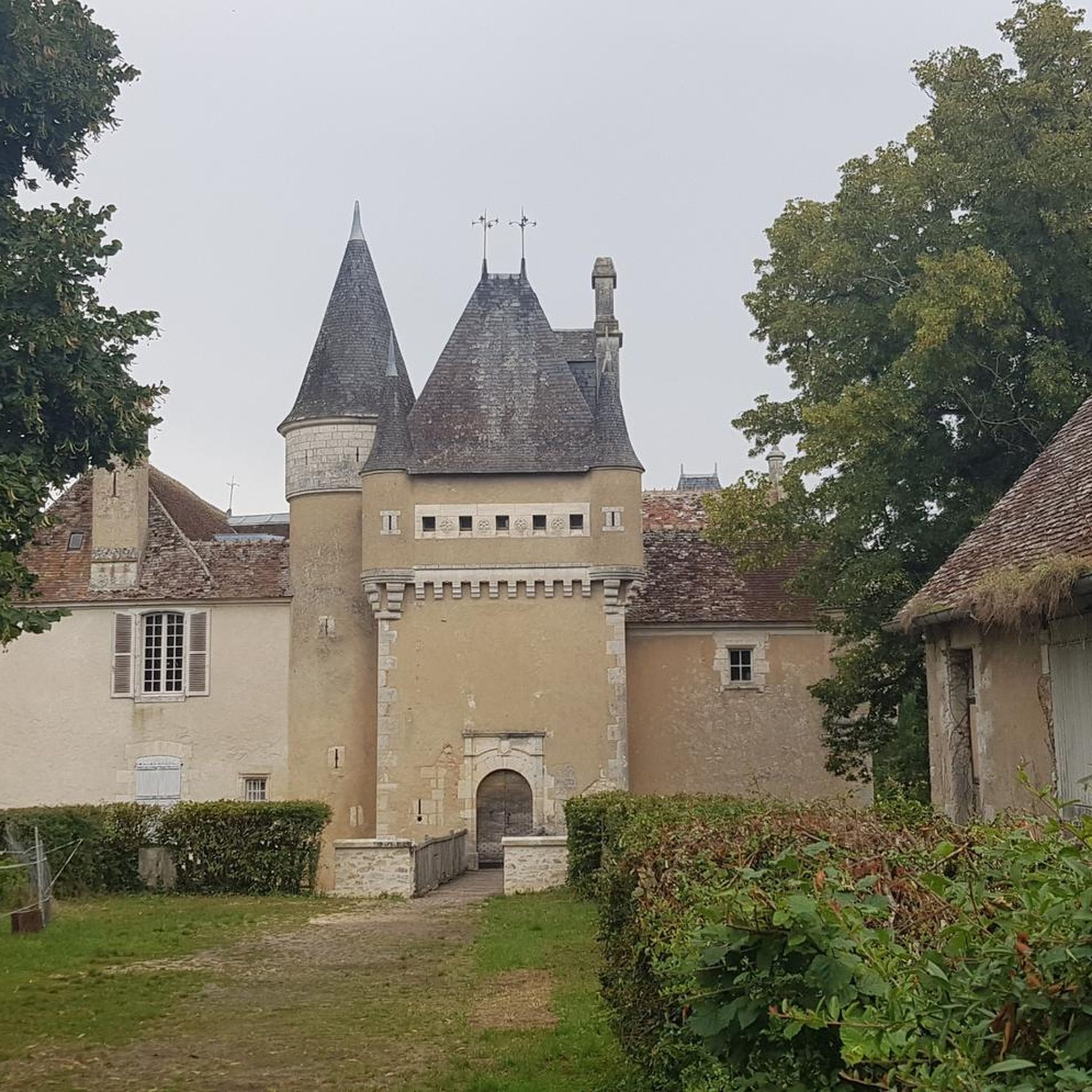
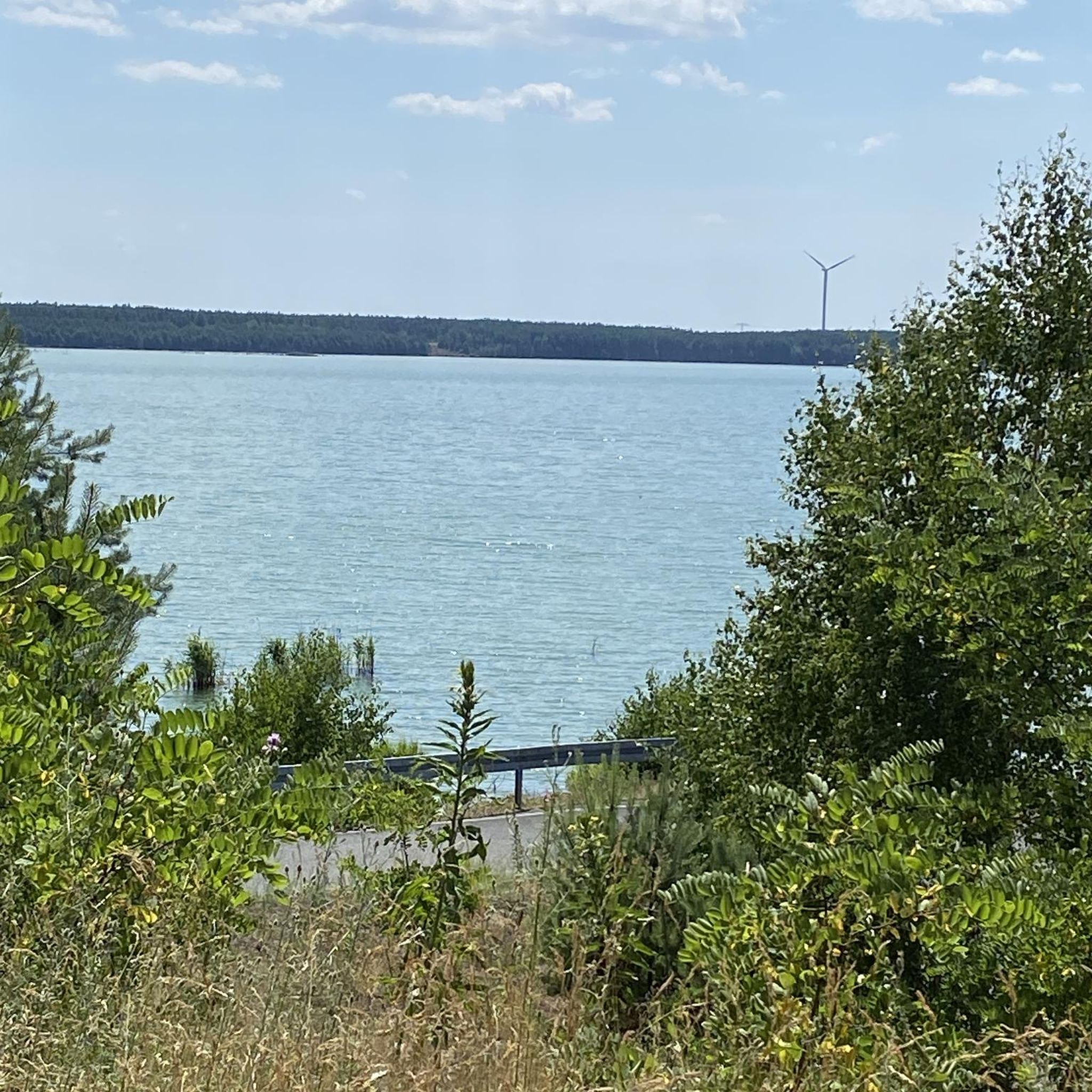

Tips from the Community

Frequently Asked Questions
How many running routes are available in Saint-Hilaire-En-Lignières?
There are 19 running routes around Saint-Hilaire-En-Lignières, offering a variety of options for different fitness levels and preferences.
What kind of terrain can I expect on the jogging trails in this region?
The jogging routes traverse a diverse landscape featuring hedged farmland (bocages), forests like the Wood of Malvève, and the scenic Arnon River valley. You'll find a mix of flat stretches and gentle inclines, with elevations ranging from 159 to 268 meters, providing varied running experiences.
Are there easy running routes suitable for beginners or a relaxed jog?
Yes, there are 3 easy running routes available. For a gentle run, consider the Running loop from Maison l'Aventure, which is 5.0 km long, or the Running loop from Les Grandes Douces, a 4.8 km trail through rural scenery.
What do other runners say about the trails in Saint-Hilaire-En-Lignières?
The running routes in Saint-Hilaire-En-Lignières are highly rated by the komoot community, with an average score of 4.0 stars. Over 50 runners have explored the varied terrain, often praising the well-defined paths and diverse natural settings.
Are there longer or more challenging routes for experienced runners?
Yes, for experienced runners seeking a challenge, there is 1 difficult route and 15 moderate routes. The region offers extensive circuits like the 40 km 'La Grande Boucle du Pays d'Henri IV', which traverses deep woods and pastures, providing expansive views of the Berry hills.
Are there any circular running routes in the area?
Many of the running paths in Saint-Hilaire-En-Lignières are circular. For example, the Running loop from Lignières is a popular 6.1 km moderate trail that takes you through the rural landscape in a loop.
What natural features can I see while jogging in Saint-Hilaire-En-Lignières?
You can enjoy diverse natural features, including the tranquil Wood of Malvève, the ecologically significant lower Arnon valley (a Natura 2000 site with floodable meadows), and picturesque hedged farmland. The 'Boucle des Vallées' circuit, for instance, meanders through fields, hedgerows, and alongside small streams.
Are there any points of interest or landmarks along the running paths?
While jogging, you might encounter various points of interest. The 'Entre bocage et patrimoine' circuit passes by old farms, roadside crosses, and washhouses. Nearby attractions include the historic Château de Lignières and several serene lakes such as Étang des Trois Biches and Étang de la Forêt.
Can I bring my dog on the running trails in Saint-Hilaire-En-Lignières?
Many natural trails in rural areas like Saint-Hilaire-En-Lignières are generally dog-friendly. However, it's always recommended to keep your dog on a leash, especially when passing through farmland or near livestock, and to check for any specific local regulations or signage on individual routes.
Is there parking available near the running routes?
While specific parking locations are not detailed for every route, most rural trailheads in France typically offer informal parking areas. It's advisable to check the starting point of your chosen route on komoot for community-added parking information or local signage upon arrival.
What is a good moderate running route to explore the local countryside?
A great moderate option is the Running loop from Saint-Christophe-en-Boucherie. This 7.2 km route offers a good balance of distance and elevation, allowing you to experience the typical Berrichonne countryside.
Are there any routes that pass by historical sites or castles?
Yes, you can combine your run with a visit to a historical site. The Château Lé Plaix loop from Lignières is a 9.7 km jogging route that will take you near the Château Lé Plaix, allowing you to enjoy both nature and local heritage.
Most popular routes around Saint-Hilaire-En-Lignières
Most popular attractions around Saint-Hilaire-En-Lignières

Get inspired with the komoot mobile app


Explore more
Browse the best Running Trails & Routes in other regions.
