The best mountain hikes around Billière
4.8
(12)
45
hikers
3
hikes
Mountaineering routes around Billière provide access to the Pyrenees, with the commune itself situated in a mountainous area featuring altitudes between 1,021 meters and 1,806 meters. The region is characterized by majestic peaks, deep valleys, and numerous lakes and waterfalls, forming part of the "Pays de Comminges." This area offers a diverse landscape for mountaineering, including challenging ascents and routes through wild natural environments.
Best mountaineering routes around Billière
- The most popular mountaineering route is Bridge near Lake Oô –…
Last updated: June 24, 2026
4.5
(6)
28
hikers
Moderate mountaineering route. Good fitness required. Mostly accessible paths. Sure-footedness required.
5.0
(3)
7
hikers
13.1km
06:21
950m
950m
Hard mountaineering route. Very good fitness required. Mostly accessible paths. Sure-footedness required.

Sign up for free
5.0
(3)
7
hikers
17.5km
06:05
930m
930m
Hard mountaineering route. Very good fitness required. Mostly accessible paths. Sure-footedness required.
3
hikers
6.27km
02:24
370m
370m
Moderate mountaineering route. Good fitness required. Mostly accessible paths. Sure-footedness required.
Our route recommendations are based on thousands of hikes, rides, and runs completed by other people on komoot.
Start today with a free account
Your next adventure awaits.
Login or Signup
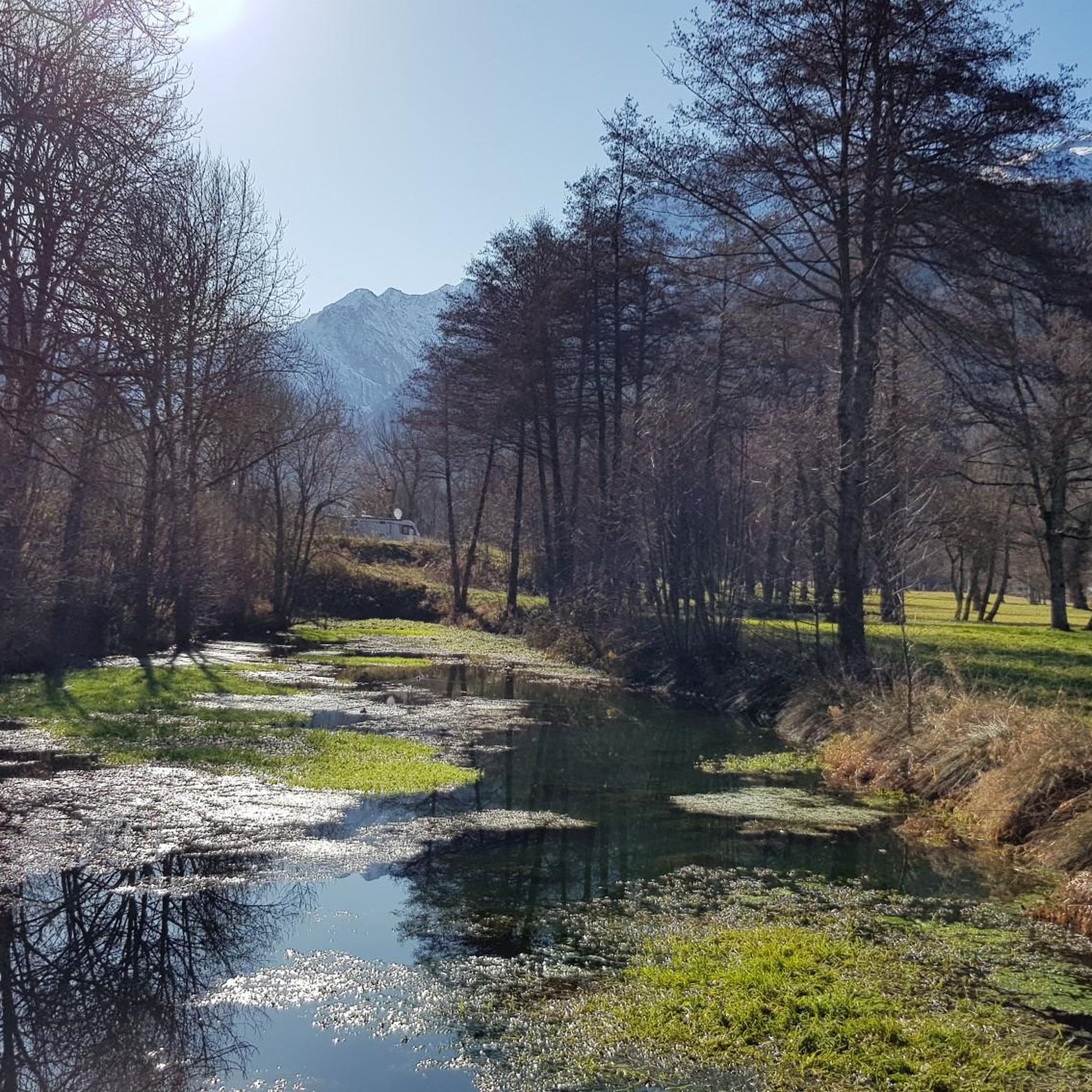
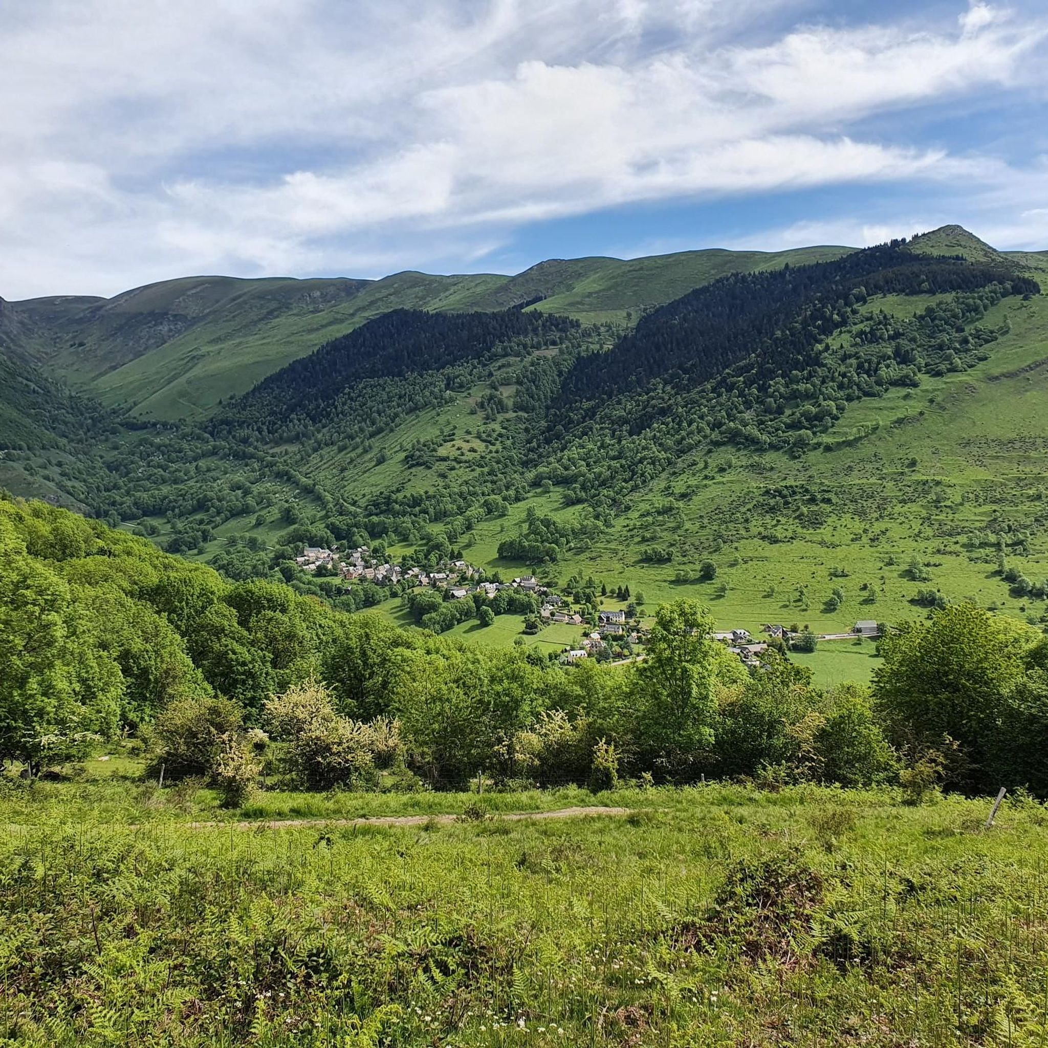
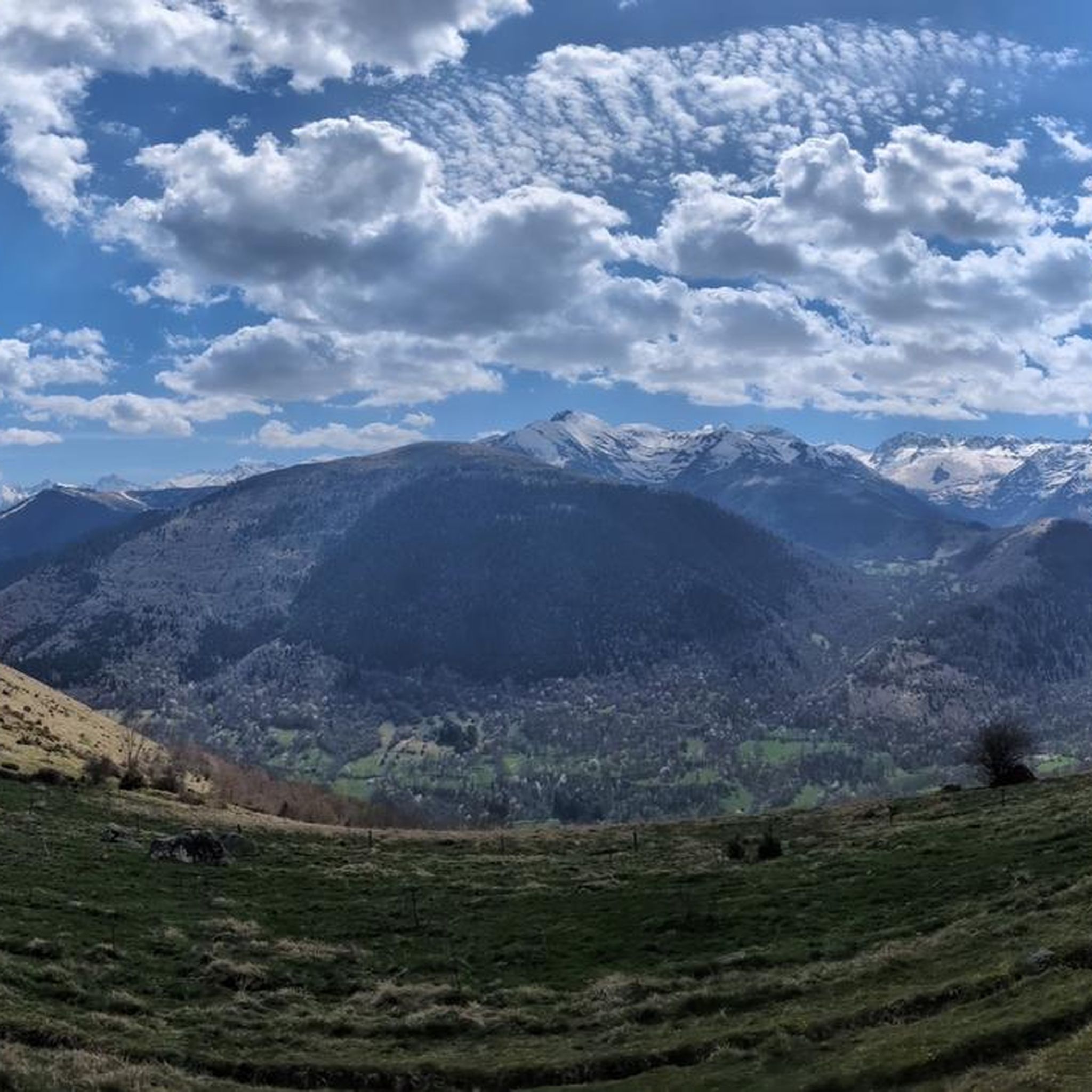


Tips from the Community


Great hike to do in winter with snowshoes/crampons. Great view 😍
0
0

Here the valley opens up to reveal a pretty plain. Continue up the valley to Lake Oô, to enjoy more magnificent views.
1
0

Hike to the stunning Lac d’Oô, a beautiful glacial lake nestled in the Pyrenees. As you approach the lake, you’ll be treated to breathtaking views of its clear, turquoise waters, surrounded by sheer cliffs and lush forest. The hike is moderately challenging, with rocky paths leading to a perfect viewpoint where the lake and surrounding peaks create a truly picturesque scene. Take some time to appreciate the tranquility of the area, where you can also catch a glimpse of the impressive Oô waterfall cascading down the mountainside.
0
0

Beautiful turquoise blue lake and stuff
0
0

Next to the Lac d'Oô bivouac you have the best point of view, the most axial, to admire the Lac d'Oô waterfall.
0
0

A nice place to stop off after the hike. The car park is generously dimensioned, since the Lac d'Oô and the Lac d'Espingo are popular hiking destinations, you should still come early to get a parking space.
0
0

Lac Vert, made up of three basins, is located at an altitude of 2,004 metres. Nestled at the foot of the Pic du Maupas in a green setting, this lake suggests a pleasant break.
0
0
Frequently Asked Questions
How many mountaineering routes are available around Billière?
There are over 7 mountaineering routes around Billière, offering a range of experiences from moderate to difficult. The region is known for its diverse terrain, including majestic peaks and deep valleys.
What are the difficulty levels of mountaineering routes in Billière?
The routes around Billière cater to various skill levels, with 3 moderate and 4 difficult trails. For a challenging experience, consider the Bridge near Lake Oô – Lac d'Oô loop from Granges d'Astau, which covers 12.8 km with significant elevation gain. A moderate option is the View of the plain – View of the Lac d'Oô waterfall loop from Granges d'Astau, a 6.9 km path with scenic views.
Are there any routes that feature waterfalls?
Yes, the region is rich in waterfalls. The Waterfalls of the Oô Valley – Lac Vert Waterfalls loop from Les Bourdalès is an 8.1-mile (13.1 km) trail that leads through the Oô Valley, showcasing several waterfalls. You can also see the prominent Lac d'Oô waterfall on the View of the Lac d'Oô waterfall highlight.
What is the best time of year for mountaineering in Billière?
The Haute-Garonne Pyrenees offer diverse activities year-round. For mountaineering, the warmer months typically provide the best conditions for accessing higher peaks. However, winter transforms the mountains into a playground for winter mountaineering, including ice climbing on frozen waterfalls, so it depends on your preferred activity and experience level.
Are there any circular mountaineering routes in the area?
Yes, many routes are designed as loops. For example, the 1888 loop from Salles-et-Pratviel is a moderate 10.7 km trail. Another option is the challenging Waterfalls of the Oô Valley – Lac Vert Waterfalls loop from Les Écharts, which is a longer 17.5 km route.
What natural landmarks can I expect to see along the mountaineering routes?
The region is characterized by majestic peaks, deep valleys, and crystal-clear lakes. You'll encounter impressive summits like Pic du Gar and Pic Saillant. A prominent natural jewel is Lac d'Oô, known for its 275-meter waterfall. Other notable features include Lake Espingo and Lake Saussat.
Is Billière a good destination for advanced mountaineers?
Absolutely. The Haute-Garonne Pyrenees boast 14 peaks exceeding 3,000 meters, providing ample challenges. The Portillon refuge, located at 2,570 meters, offers access to 12 peaks over 3,000 meters. Many routes around Billière are rated as difficult, such as the 12.8 km Bridge near Lake Oô – Lac d'Oô loop from Granges d'Astau, which involves significant elevation gain.
What do other mountaineers say about the routes in Billière?
The mountaineering routes in Billière are highly rated by the komoot community, with an average score of 4.8 stars from over 20 reviews. More than 100 mountaineers have used komoot to explore the varied terrain, often praising the stunning natural beauty, including the majestic peaks, deep valleys, and numerous lakes and waterfalls.
Are there any cultural attractions or towns nearby to explore after a mountaineering trip?
Yes, after your mountaineering adventures, you can explore nearby cultural sites. Saint-Bertrand-de-Comminges, classified as one of France's 'Most Beautiful Villages,' offers historical interest with its Sainte-Marie cathedral and Roman remains. Bagnères-de-Luchon, a well-known hub for mountain adventures, is also famous for its Belle Époque architecture and thermal baths, providing a relaxing end to an active day.
Is public transport available to access mountaineering trailheads around Billière?
While specific public transport details for individual trailheads are not provided, Bagnères-de-Luchon is a central hub in the region. It's advisable to check local transport options or consider car rental for more flexible access to the various mountaineering starting points around Billière and the wider Pyrenees.
Are there any mountain passes that can be visited in the area?
Yes, the region features several notable mountain passes. The Col de Peyresourde, a legendary Pyrenean pass at 1,589 meters, offers scenic views and separates the Haute-Garonne and Hautes-Pyrénées departments. Other passes include Port de Balès and Esquierry Pass.
Most popular attractions around Billière

Get inspired with the komoot mobile app


Explore more
Browse the best Mountain Hikes & Routes in other regions.
