The best walks and hikes around Montastruc-Savès
5.0
(5)
11
hikers
5
hikes
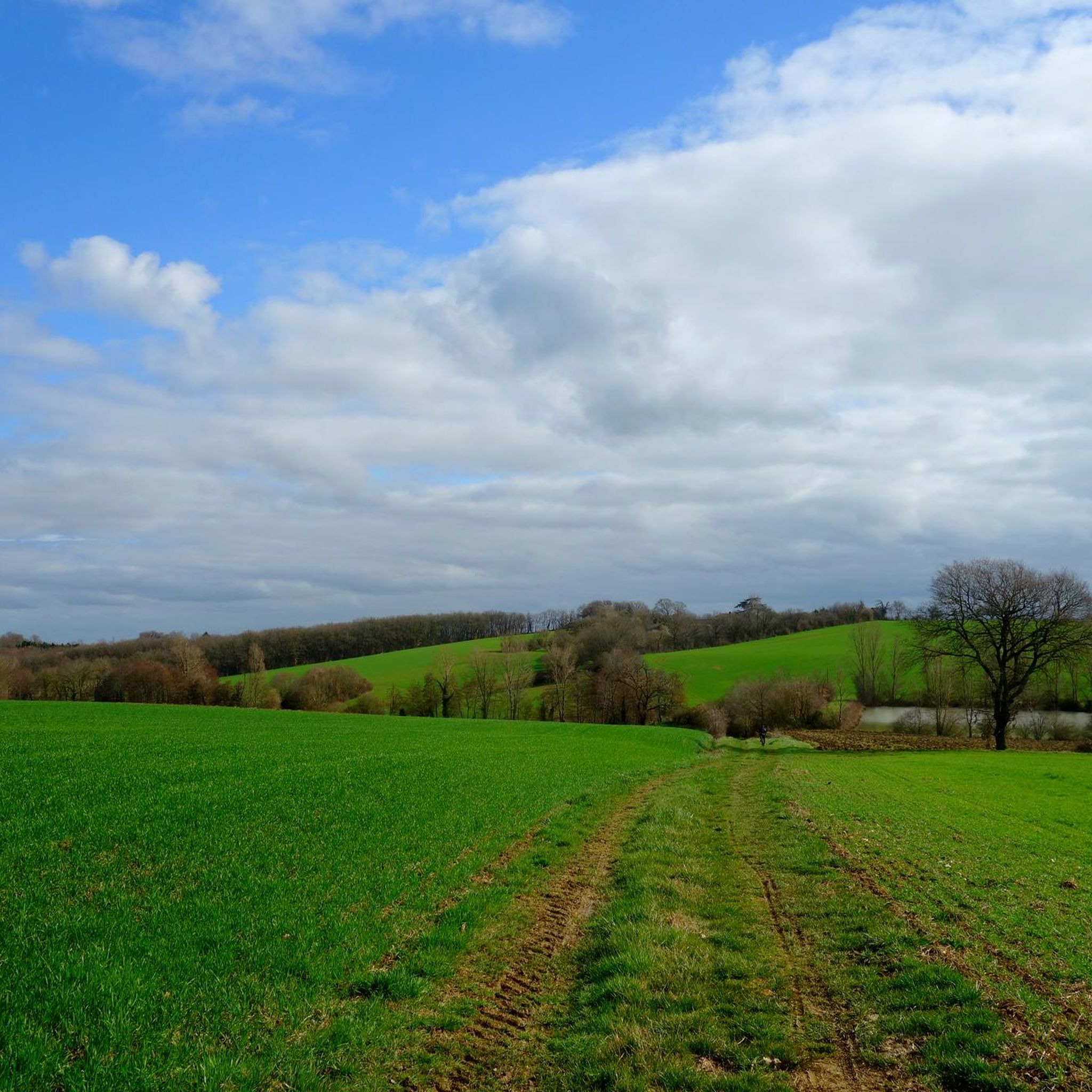
Hiking around Montastruc-Savès offers routes through a gently undulating rural landscape, characterized by open fields and scattered woodlands. The terrain features modest elevation changes, with most trails gaining less than 120 meters. This region provides accessible paths suitable for exploring the countryside.
Best hiking trails around Montastruc-Savès
- The most popular hiking route is Table d'orientation loop from Le Fousseret, a 4.5 miles (7.3 km) trail that takes about 2 hours to complete. This easy route offers views from a…
Last updated: June 24, 2026
5.0
(4)
3
hikers
9.32km
02:35
160m
160m
Moderate hike. Good fitness required. Easily-accessible paths. Suitable for all skill levels.
1
hikers
7.71km
02:03
80m
80m
Moderate hike. Good fitness required. Easily-accessible paths. Suitable for all skill levels.

Sign up for free
3
hikers
6.02km
01:39
90m
100m
Easy hike. Great for any fitness level. Easily-accessible paths. Suitable for all skill levels.
2
hikers
10.0km
02:42
130m
130m
Moderate hike. Good fitness required. Easily-accessible paths. Suitable for all skill levels.
5.0
(1)
2
hikers
8.56km
02:21
130m
130m
Moderate hike. Good fitness required. Easily-accessible paths. Suitable for all skill levels.
Our route recommendations are based on thousands of hikes, rides, and runs completed by other people on komoot.
Start today with a free account
Your next adventure awaits.
Login or Signup

Frequently Asked Questions
How many hiking trails are available around Montastruc-Savès?
There are over 5 hiking routes in the Montastruc-Savès area, offering a mix of easy and moderate options through the rural landscape.
Are there any easy hikes suitable for beginners in Montastruc-Savès?
Yes, the region offers easy trails perfect for beginners. One excellent option is the Table d'orientation loop from Le Fousseret, which is 4.5 miles (7.3 km) long and takes about 2 hours to complete with gentle elevation changes.
What is the typical duration for hikes in Montastruc-Savès?
Most hikes in Montastruc-Savès are designed for day trips, typically ranging from 2 to 2.5 hours to complete. For example, the Hiking loop from Castelnau-Picampeau takes around 2 hours and 3 minutes.
Are there any circular walks around Montastruc-Savès?
Yes, many of the trails in the area are circular, allowing you to start and end at the same point. The Hiking loop from Le Fousseret is a great example, covering 4.9 miles (8.0 km) through rural landscapes.
What is the best time of year for hiking in Montastruc-Savès?
The Montastruc-Savès region, with its gently undulating rural landscape, is generally pleasant for hiking from spring through autumn. The mild weather during these seasons makes for comfortable exploration of the open fields and woodlands.
What kind of terrain can I expect on the hiking trails?
The terrain around Montastruc-Savès is characterized by rolling rural paths, agricultural fields, and small wooded areas. Expect modest elevation changes, with most trails gaining less than 120 meters, making them accessible for various fitness levels.
What do other hikers enjoy most about hiking in Montastruc-Savès?
The area is highly rated by the komoot community, with an average score of 5.0 stars. Reviewers often praise the peaceful rural setting, the well-maintained paths, and the opportunity to experience the authentic French countryside.
Are the hiking trails in Montastruc-Savès suitable for families?
Yes, the gentle nature of the trails and modest elevation gains make many routes suitable for families. The easy-rated trails, in particular, offer a relaxed way to explore the countryside together.
Can I bring my dog on the hiking routes in Montastruc-Savès?
Most rural trails in France are dog-friendly, especially when dogs are kept on a leash. Given the agricultural nature of the Montastruc-Savès region, it's advisable to keep dogs under control to respect local wildlife and livestock.
Are there any challenging trails for experienced hikers?
While the region primarily offers easy to moderate hikes, some routes like the Hiking loop from Le Fousseret feature slightly more elevation gain (around 114 meters) and longer distances, providing a good workout for those looking for a bit more challenge within the moderate category.
What kind of wildlife might I encounter while hiking?
As a rural area, you might spot common countryside wildlife such as various bird species, small mammals, and insects. The open fields and wooded sections provide habitats for local fauna.
Is parking available at the trailheads?
Parking is generally available in or near the villages where these loops begin, such as Le Fousseret or Castelnau-Picampeau. It's recommended to check local signage for specific parking regulations.

Get inspired with the komoot mobile app


Explore more
Browse the best Hikes in other regions.
