The best mountain hikes around Le Périer
4.7
(3)
50
hikers
1
hike
Mountaineering around Le Périer offers challenging routes through the French Alps, characterized by high alpine terrain, glacial lakes, and rugged peaks. The region features significant elevation changes, with trails often leading to mountain refuges and past impressive waterfalls. This area provides a diverse landscape for experienced mountaineers seeking demanding ascents and panoramic views.
Best mountaineering routes around Le Périer
- The most popular mountaineering route is Lake Lauvitel loop from La Danchère, a 4.1 miles (6.6 km) trail that takes 3 hours 25 minutes to complete. This moderate route offers scenic views of Lake Lauvitel.
- Another top favourite among local mountaineers is Muzelle Refuge – Lake Lauvitel loop from Venosc, a difficult 13.0 miles (20.9 km) path. This challenging route traverses high alpine terrain, connecting a mountain refuge with a glacial lake.
- Local mountaineers also love the Via Ferrata du Grand Bec – Lac de Brouffier loop from La Morte, a 6.3 miles (10.2 km) trail leading through a via ferrata section and past Lac de Brouffier, often completed in about 5 hours 53 minutes.
- Mountaineering around Le Périer is defined by high alpine lakes, mountain refuges, and challenging ascents. The network offers options for both moderate and difficult ability levels.
- The routes in Le Périer are highly rated by the komoot community with an average score of 4.5 stars from over 10 reviews. More than 100 mountaineers have used komoot to explore Le Périer's varied terrain.
Last updated: June 24, 2026
5.0
(1)
16
hikers
10.2km
05:52
850m
850m
Hard mountaineering route. Very good fitness required. Sure-footedness, sturdy shoes and alpine experience required.
12
hikers
9.18km
04:16
790m
790m
Hard mountaineering route. Good fitness required. Sure-footedness, sturdy shoes and alpine experience required.

Sign up for free
4.0
(1)
11
hikers
8.99km
04:04
830m
830m
Hard mountaineering route. Good fitness required. Sure-footedness, sturdy shoes and alpine experience required.
3
hikers
10.0km
03:29
450m
450m
Moderate mountaineering route. Good fitness required. Mostly accessible paths. Sure-footedness required.
1
hikers
10.1km
04:05
590m
590m
Moderate mountaineering route. Good fitness required. Mostly accessible paths. Sure-footedness required.
Our route recommendations are based on thousands of hikes, rides, and runs completed by other people on komoot.
Start today with a free account
Your next adventure awaits.
Login or Signup


Other adventures around Le Périer

Tips from the Community

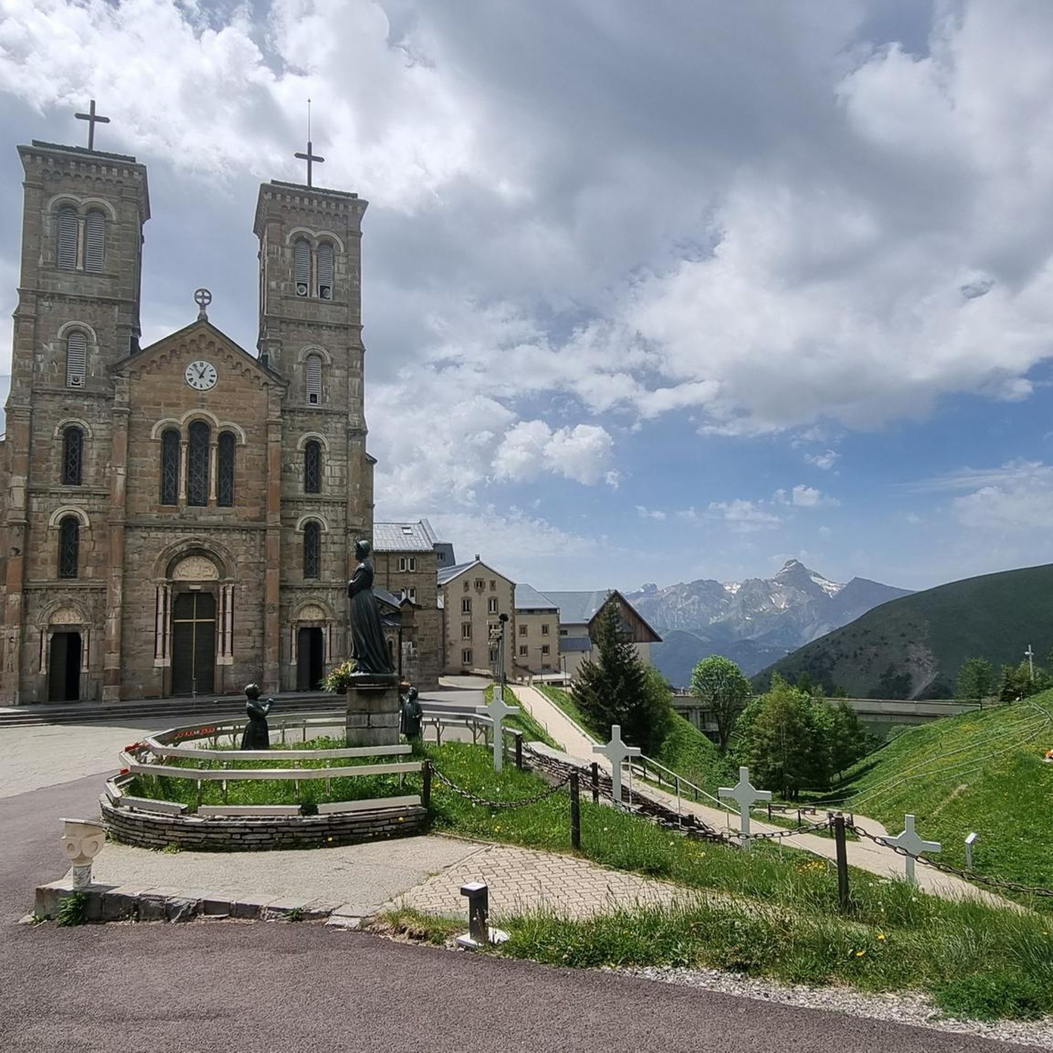
The climb up to the town is great but the place itself is a bit of an over-commercialised, purpose-built tourist trap. Enjoy the climb, grab a coffee then get out of there!
0
0

A high-altitude lake, very quiet and rarely visited. The lake is at an altitude of 2,115 m. It offers breathtaking 360° views.
0
0

Not far from the Deux Alpes resort, the view of Lake Chambon is magnificent, with the peaks of the Arves massif in the background.
0
0

An easy pass, away from traffic, in the very heart of the Alpe du Grand Serre Station. From Séchilienne, approx. 15km for D+ 1000m. To do in summer to enjoy the freshness of this shady slope.
2
0

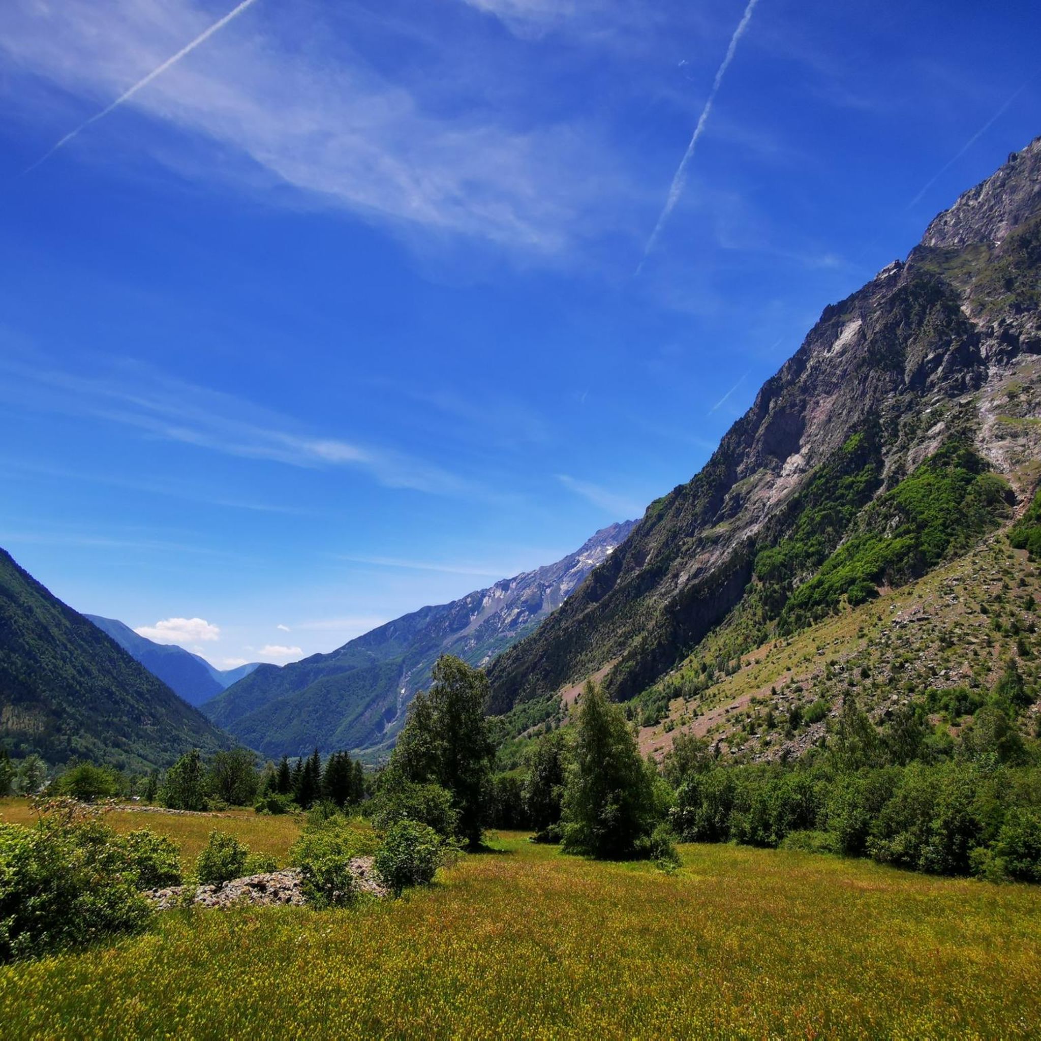
The Col de la Morte opens a window onto the Alpine landscapes. A Mecca for cyclists, hikers and trail runners, it is the scene of memorable climbs and outdoor adventures!
0
0
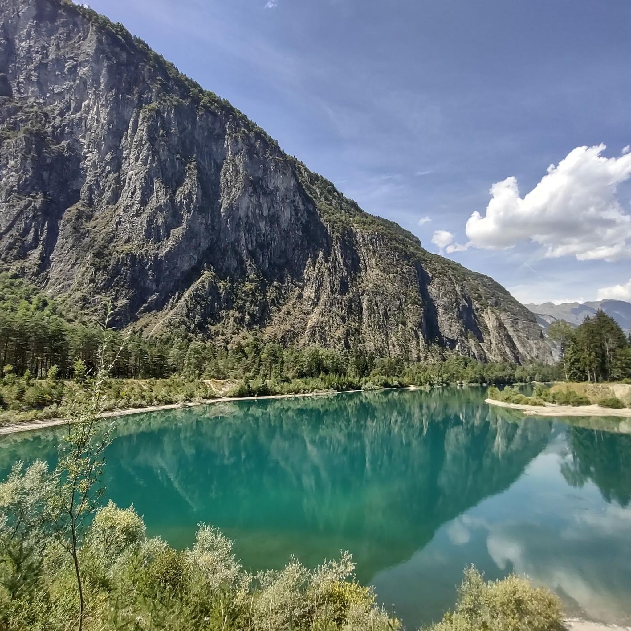
At the heart of the Oisans massif is Lake Brouffier, a high-altitude jewel in Isère. Its shimmering waters reflect the surrounding peaks.
0
0

Location where one of the largest ski areas in all of France is located, Les Deux Alpes are famous in the cycling world due to a famous victory by Marco Pantani in the 1998 Tour. The Pirate attacked on the Galibier and arrived alone on the finish line of Les Deux Alpes, where he won the stage and wore the first yellow jersey of his career.
1
0

The Col de la Morte from Sechilienne is 15.3 km long with a total drop of 1003 m. The average gradient is 6.56% with maximum gradients of 9.3%. A very nice climb to do during the summer months because the climb is mostly in the shade. When you get to the top you can go down the other side to La Mure.
3
0
Frequently Asked Questions
Are there any easier mountaineering routes suitable for beginners in Le Périer?
While many routes in Le Périer are challenging, there is a moderate option that could be suitable for beginners with some fitness. Consider the Lake Lauvitel loop from La Danchère, which offers scenic views and is less demanding than other trails in the area.
What are some challenging mountaineering routes for experienced climbers in Le Périer?
Le Périer is known for its demanding high alpine terrain. For experienced mountaineers, the Muzelle Refuge – Lake Lauvitel loop from Venosc is a difficult 13-mile path traversing significant elevation. Another challenging option is the Via Ferrata du Grand Bec – Lac de Brouffier loop from La Morte, which includes a via ferrata section.
When is the best time of year to go mountaineering in Le Périer?
The prime season for mountaineering in Le Périer, given its high alpine characteristics, is typically from late spring to early autumn (June to September). During this period, snowmelt allows access to higher trails, and weather conditions are generally more stable, though alpine weather can change rapidly.
What kind of views can I expect on the mountaineering routes around Le Périer?
Mountaineering routes in Le Périer offer stunning panoramic views of the French Alps, including rugged peaks, deep valleys, and pristine glacial lakes. Many trails lead to high vantage points where you can appreciate the vastness of the Ecrins National Park landscape.
Are there any circular mountaineering routes available in Le Périer?
Yes, several routes in the region are designed as loops, allowing you to return to your starting point without retracing your steps. Examples include the Lake Lauvitel loop from La Danchère and the Muzelle Refuge – Lake Lauvitel loop from Venosc.
What natural attractions can I see along the mountaineering routes?
Many mountaineering routes in Le Périer pass by remarkable natural features. You can encounter beautiful glacial lakes such as Lake Lauvitel and Lake Muzelle. Some trails also lead past impressive waterfalls, like on the Waterfall – Muzelle Refuge loop from Champ du Moulin.
What do other mountaineers enjoy the most about mountaineering in Le Périer?
The area is highly rated by the komoot community, with an average score of 4.5 stars. Reviewers often praise the challenging ascents, the breathtaking high alpine scenery, and the rewarding views of glacial lakes and rugged peaks.
Are there mountain refuges along the mountaineering trails in Le Périer?
Yes, some mountaineering routes in Le Périer lead to or pass by mountain refuges, which can offer a place to rest, eat, or even stay overnight. The Muzelle Refuge – Lake Lauvitel loop from Venosc is one such route that connects with a mountain refuge.
What should I know about the elevation changes on mountaineering routes in Le Périer?
Mountaineering in Le Périer is characterized by significant elevation changes. Routes often involve substantial ascents and descents, with some difficult trails featuring over 1700 meters of elevation gain, requiring good physical fitness and experience in alpine environments.
Are there any hidden gem mountaineering routes in Le Périer that are less frequented?
While specific 'hidden gems' are often discovered by local exploration, routes like the Lac Charlet – L'Oreille du Loup loop from Villard-Saint-Christophe offer a challenging experience through diverse terrain, potentially providing a more secluded adventure away from the most popular trails.
Is parking generally available near the starting points of mountaineering trails in Le Périer?
Parking availability can vary, but many trailheads in the French Alps, including those around Le Périer, typically have designated parking areas in nearby villages or at specific access points. It's advisable to check specific route details or local information for the exact starting point you plan to use.
Can I access mountaineering routes in Le Périer using public transport?
Access to remote mountain trailheads by public transport in the French Alps can be limited. While some larger villages might have bus services, reaching specific starting points for mountaineering often requires a car. It's best to research local bus schedules for the specific village closest to your chosen route.
Most popular attractions around Le Périer

Get inspired with the komoot mobile app


Explore more
Browse the best Mountain Hikes & Routes in other regions.
