The best mountain hikes around Forest-Saint-Julien
5.0
(3)
30
hikers
5
hikes
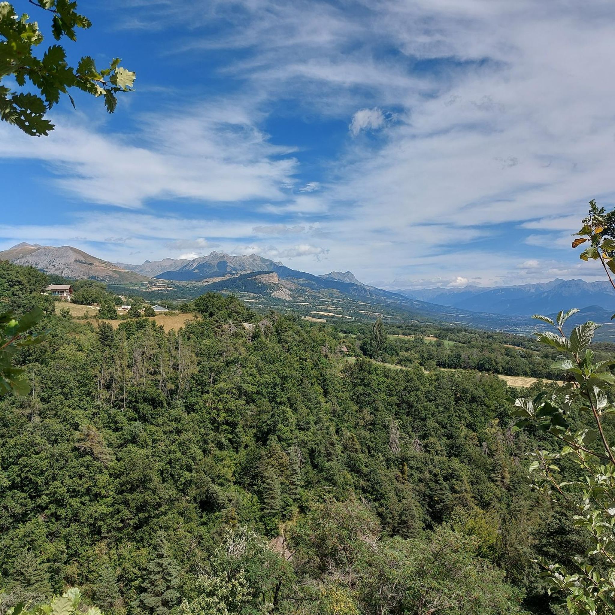
Mountaineering routes around Forest-Saint-Julien are situated in the Southern French Alps, within the Hautes-Alpes department. The region features a mountainous alpine environment with elevations ranging from 1,015 m to 1,631 m, near the Massif des Écrins and the Écrins National Park. This landscape is characterized by wild, preserved mountains, communal forests, and the nearby Drac River, offering diverse terrain for mountaineering.
Best mountaineering routes around Forest-Saint-Julien
- The most popular mountaineering route is Vieux Chaillol loop from Saint-Michel-de-Chaillol, a 10.8…
Last updated: August 17, 2026
5.0
(2)
16
hikers
17.4km
08:47
1,510m
1,510m
Hard mountaineering route. Very good fitness required. Sure-footedness, sturdy shoes and alpine experience required.
5.0
(1)
8
hikers
9.08km
03:54
800m
800m
Moderate mountaineering route. Good fitness required. Easily-accessible paths. Suitable for all skill levels.

Sign up for free
2
hikers
9.20km
03:24
570m
570m
Hard mountaineering route. Good fitness required. Sure-footedness, sturdy shoes and alpine experience required.
2
hikers
12.8km
04:58
860m
860m
Moderate mountaineering route. Good fitness required. Easily-accessible paths. Suitable for all skill levels.
2
hikers
9.85km
03:22
540m
540m
Moderate mountaineering route. Good fitness required. Easily-accessible paths. Suitable for all skill levels.
Our route recommendations are based on thousands of hikes, rides, and runs completed by other people on komoot.
Start today with a free account
Your next adventure awaits.
Login or Signup
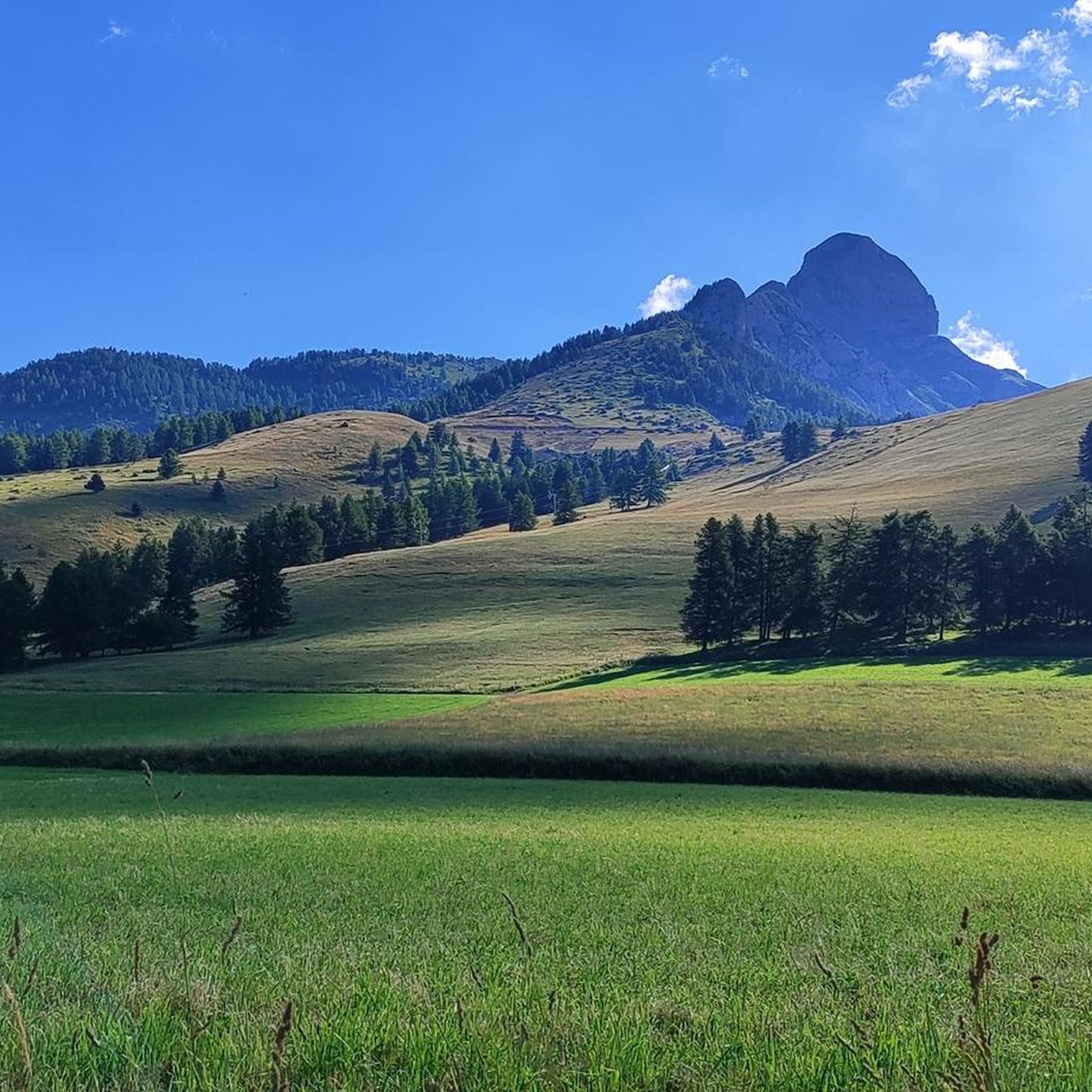
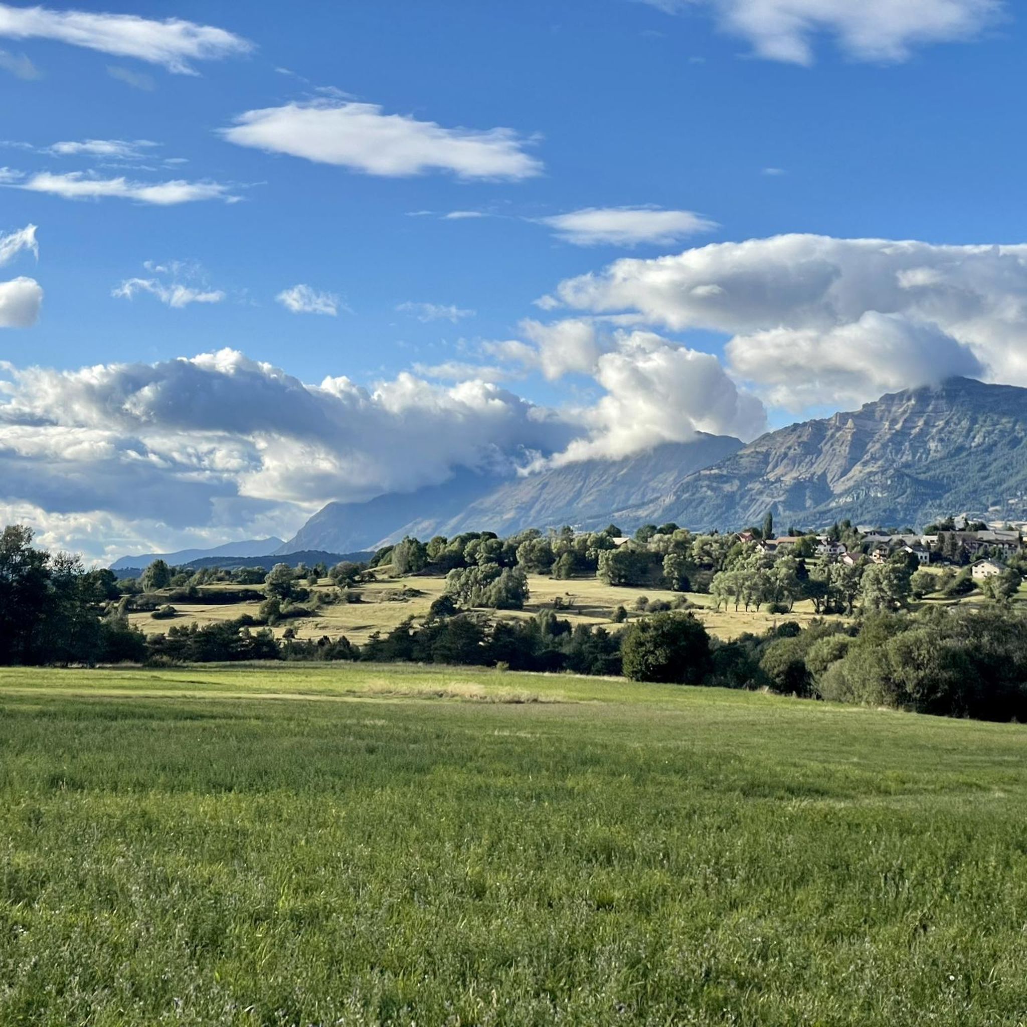
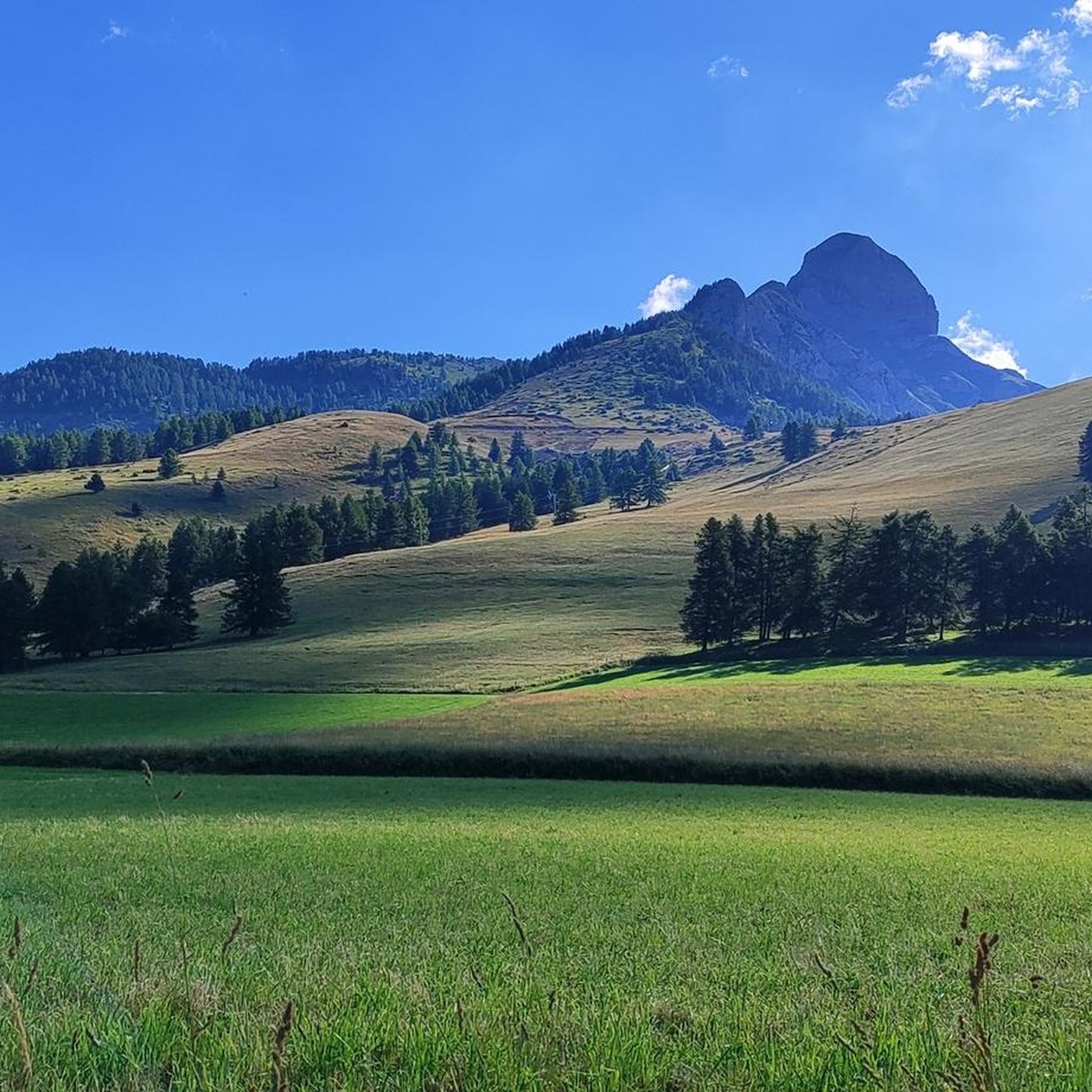
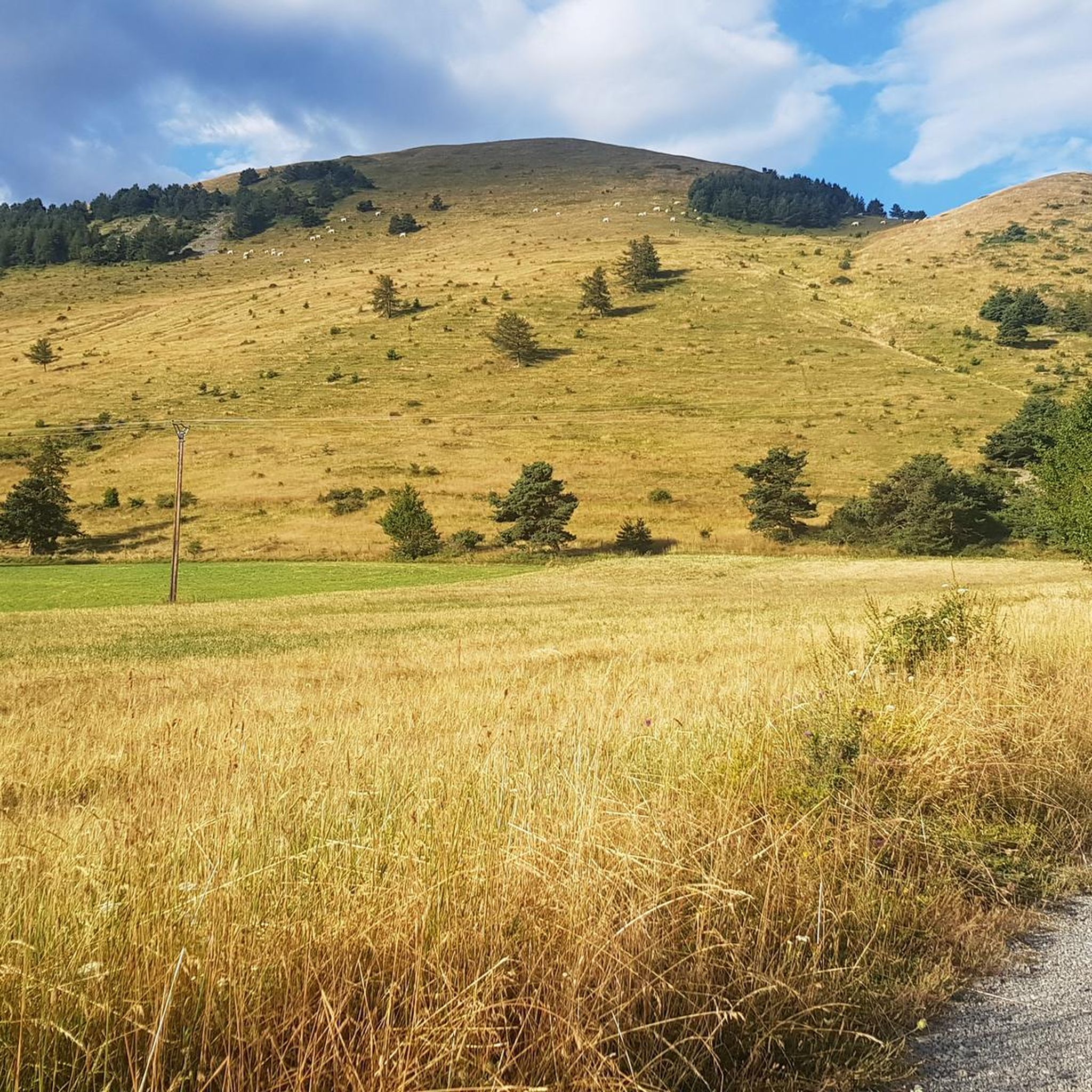

Tips from the Community

It is one of the highest bocages in Europe. These landscapes are typical in France, but this one is one of the best preserved. It has a superb network of beech hedges, crops, meadows and woods which attracts beautiful biodiversity and many birds.
0
0
The Col de Gleize car park is located next to a designated picnic area. It is the starting point for many hiking trails that intersect here.
0
0

Culminating at 2,354 meters, the Col de la Pisse offers beautiful panoramas of the Écrins massif.
0
0

This path borders the Gap canal. The Gap canal collects water from the Drac in Haut-Champsaur and brings it to the Gapençais basin, where it is mainly used to supply the town of Gap with drinking water. The walk along the water reveals beautiful views of the surrounding landscapes.
0
0

For a great picnic with a 360° view of breathtaking landscapes: meet at Pic Chaudun 🌟
0
0

It is accessible by car via a pretty narrow road and has parking as it is the starting point for many trails.
1
0

A pretty garden in the Charance estate with roses, a waterfall and beautiful paths.
0
0
The Pic de Charance is 1,825 meters above sea level. From the summit, marked with a cross, there are exceptional views of the town of Gap, the Durance valley and the peak of Bure.
1
0
Frequently Asked Questions
How many mountaineering routes are available around Forest-Saint-Julien?
There are several mountaineering routes around Forest-Saint-Julien, offering diverse experiences within the Southern French Alps. You'll find a good mix of moderate and difficult trails to explore.
Are there any mountaineering routes suitable for beginners or those looking for a moderate challenge?
Yes, there are several moderate mountaineering routes. For example, the Pic de Charance – La Brèche de Charance loop from Gap is a popular choice, traversing varied terrain with panoramic vistas. Another moderate option is the Pointe de Fleurendon loop from Canyon de Rouanette.
What are some of the more challenging mountaineering routes in the area?
For experienced mountaineers seeking a challenge, the Vieux Chaillol loop from Saint-Michel-de-Chaillol is a difficult 17.4 km trail with significant elevation gain and extensive alpine views. Another demanding option is the Summit without a cross loop from Col de Gleize, which features rocky ascents through alpine meadows.
Are there any circular mountaineering routes around Forest-Saint-Julien?
Yes, many of the mountaineering routes in the region are circular, allowing you to start and end at the same point. Examples include the Pic de Charance – La Brèche de Charance loop from Gap and the Écluse d'Oeuf – Pic de Charance loop from Gap.
What kind of natural features can I expect to see on these mountaineering routes?
The routes around Forest-Saint-Julien offer a stunning array of natural features. You'll traverse wild and preserved mountains, communal forests, alpine meadows, and rocky ascents. The region is part of the Southern French Alps, near the Massif des Écrins and the Écrins National Park, known for its diverse landscapes, including fields, villages, and even glaciers at higher altitudes.
What are some interesting landmarks or attractions near the mountaineering trails?
Beyond the trails, the area offers several points of interest. You can explore historical elements like the Chemin de rondes and its cliffs, or visit nearby mountain passes such as Col de Moissière (1573 m) and Col de Gleize (1691 m). The village itself has a rich past, featuring the Aqueduc des Gorges and the historic Chapelle Saint-Antoine.
What is the best season for mountaineering in Forest-Saint-Julien?
The best season for mountaineering typically spans from late spring to early autumn, when the weather is more stable and snow has largely receded from lower and mid-altitudes. However, the high mountain environment can present hazards like avalanches and rockfall, especially outside of peak season, so always check conditions and be prepared for rapid weather changes.
Is Forest-Saint-Julien suitable for winter mountaineering?
While the region is popular for winter sports like skiing and snowshoeing in areas like the Champsaur valley, high-altitude mountaineering in winter requires significant experience, specialized gear, and thorough knowledge of safety techniques due to hazards such as avalanches, rockfall, and crevasses. It's often recommended to go with qualified high mountain guides during this period.
What do other mountaineers say about the routes in Forest-Saint-Julien?
The mountaineering routes in Forest-Saint-Julien are highly regarded by the komoot community, holding an average rating of 5.0 stars from over 10 reviews. Users often praise the stunning alpine scenery, the preserved natural environment, and the variety of challenges offered by the trails.
Are there any specific permits required for mountaineering in the Écrins National Park area?
While general access to the Écrins National Park is usually free, certain activities or specific zones within the park might require permits or adherence to strict regulations to protect the environment. It's always advisable to check the official Écrins National Park website for the latest information on regulations and any necessary permits before planning your trip.
What kind of wildlife might I encounter while mountaineering in this region?
The Écrins National Park and surrounding areas boast incredible biodiversity. While mountaineering, you might spot various alpine fauna such as chamois, ibex, marmots, and a wide array of bird species, including eagles. The preserved natural environment provides a rich habitat for these animals, so keep an eye out, especially in quieter areas.
Most popular routes around Forest-Saint-Julien
Most popular attractions around Forest-Saint-Julien

Get inspired with the komoot mobile app


Explore more
Browse the best Mountain Hikes & Routes in other regions.
