The best mountain hikes around Ancelle
4.8
(17)
77
hikers
9
hikes
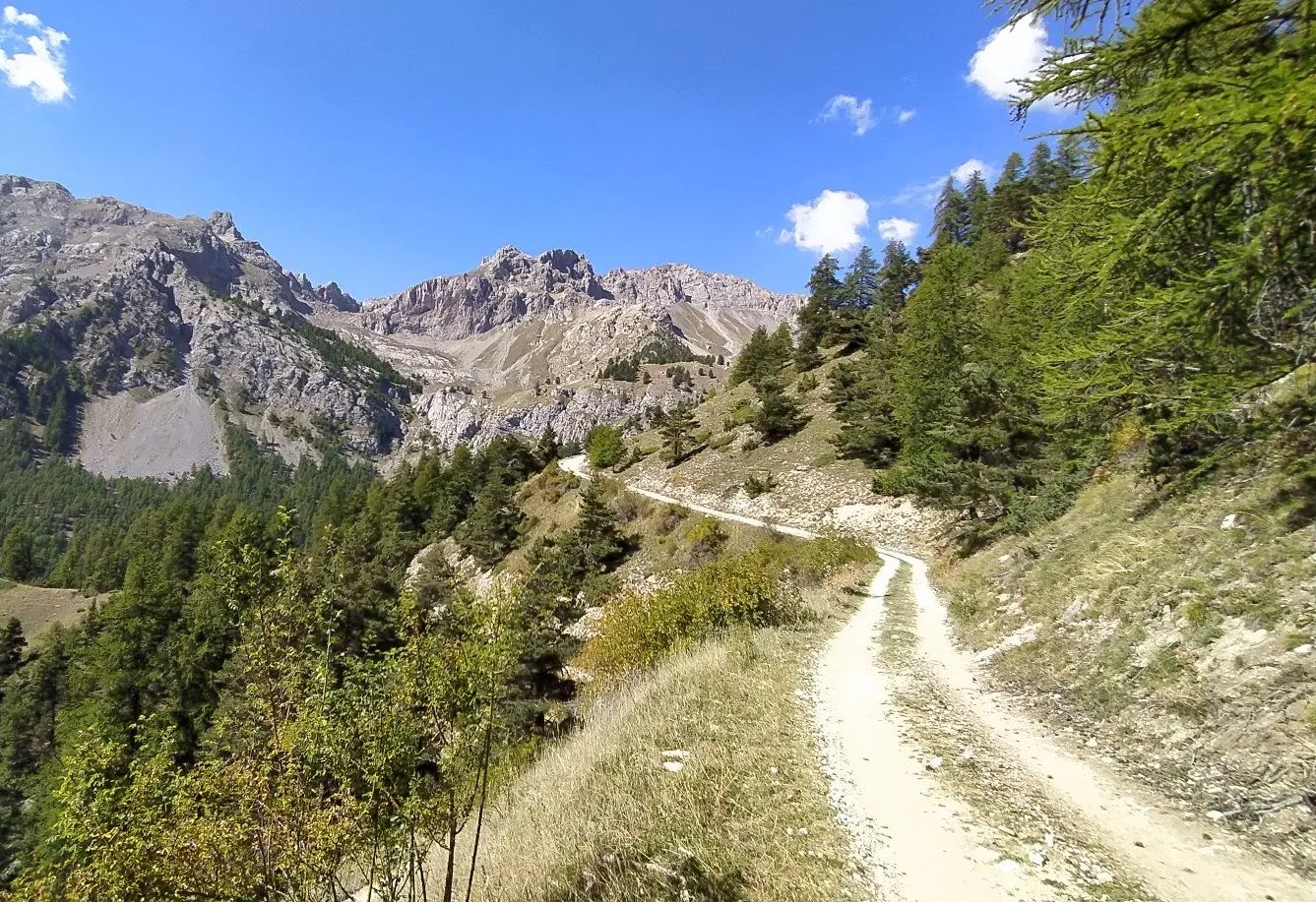
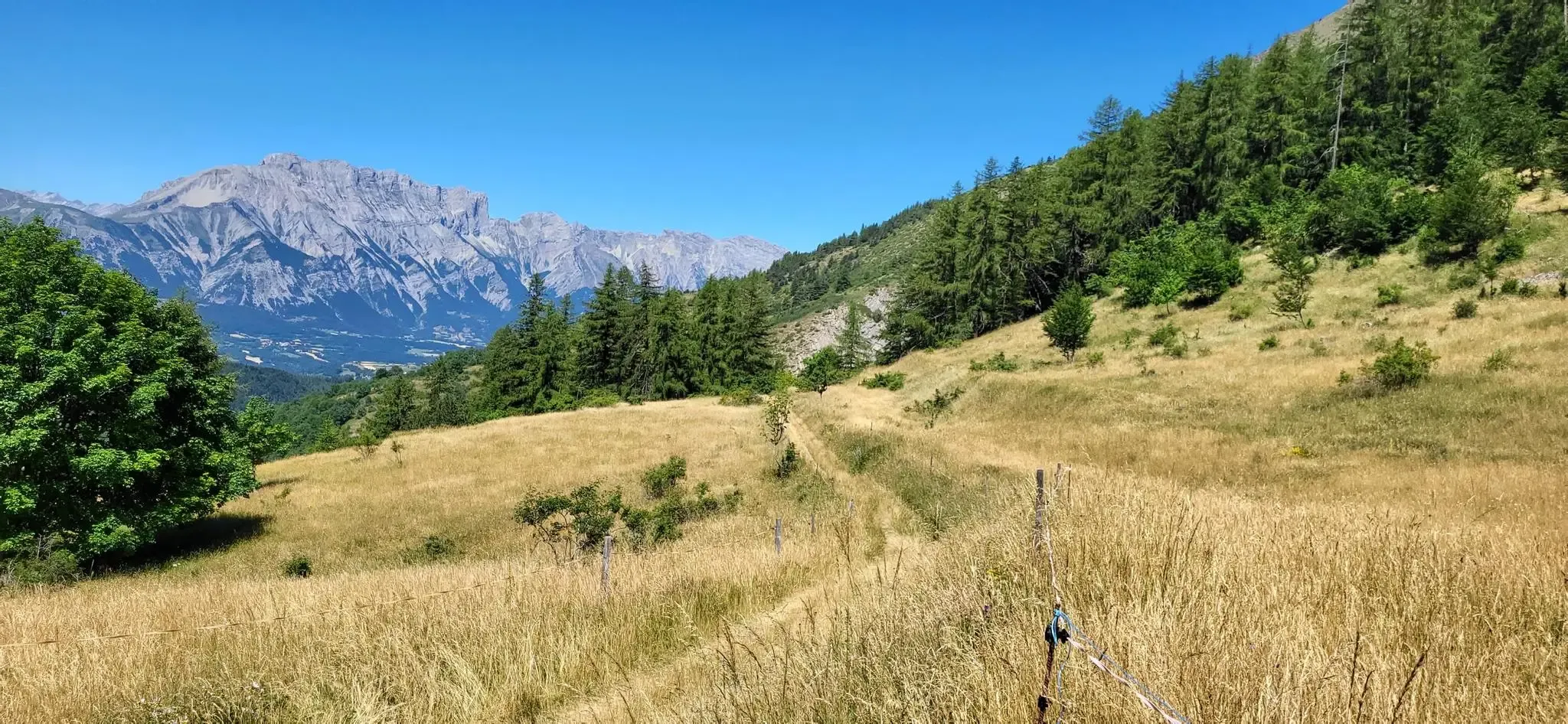
Mountaineering routes around Ancelle are situated in a region characterized by the rugged terrain of the French Alps, offering diverse challenges for climbers. The landscape features prominent peaks, high mountain passes, and alpine lakes, providing a varied environment for ascents. This area is known for its significant elevation changes and panoramic views, typical of high-altitude mountaineering.
Best mountaineering routes around Ancelle
- The most popular mountaineering route is Vieux Chaillol loop from Saint-Michel-de-Chaillol, a 10.8 miles (17.4 km) trail that…
Last updated: August 17, 2026
5.0
(2)
16
hikers
17.4km
08:47
1,510m
1,510m
Hard mountaineering route. Very good fitness required. Sure-footedness, sturdy shoes and alpine experience required.
4.7
(3)
7
hikers
Moderate mountaineering route. Good fitness required. Mostly accessible paths. Sure-footedness required.

Sign up for free
8
hikers
9.29km
03:55
770m
770m
Moderate mountaineering route. Good fitness required. Easily-accessible paths. Suitable for all skill levels.
4.5
(2)
5
hikers
10.7km
04:06
760m
760m
Moderate mountaineering route. Good fitness required. Mostly accessible paths. Sure-footedness required.
5.0
(3)
6
hikers
10.5km
05:19
860m
860m
Hard mountaineering route. Very good fitness required. Sure-footedness, sturdy shoes and alpine experience required.
Get access to more routes and recommendations from other explorers.
Sign up for free
Already have an account?
Our route recommendations are based on thousands of hikes, rides, and runs completed by other people on komoot.
Start today with a free account
Your next adventure awaits.
Login or Signup



Tips from the Community

Does anyone know if dogs are allowed?
0
0

For my small size, it was climbing at this spot 😂
0
0

Take enough water because there is no water point
1
0


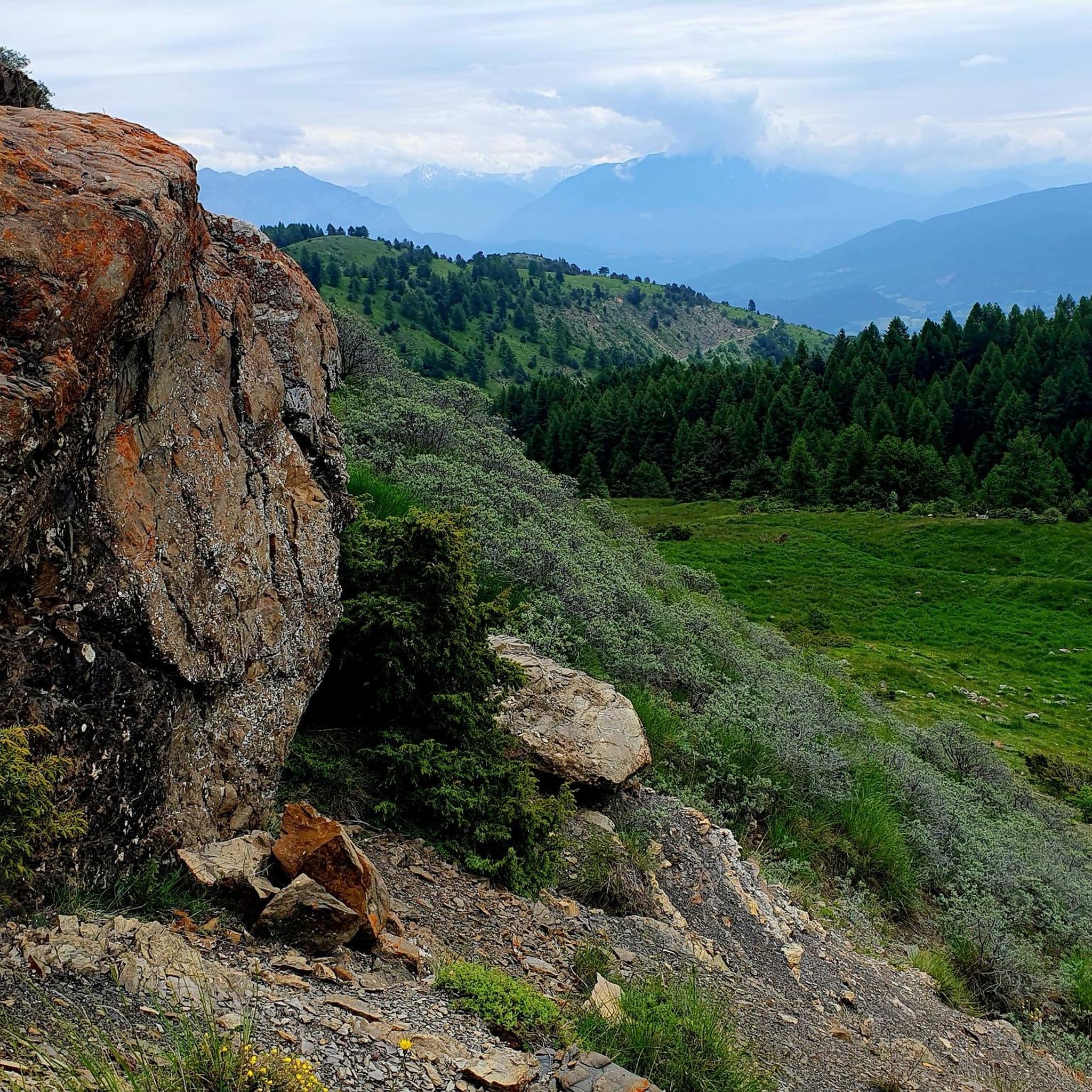
The Forest des Estaris is a small mountain hamlet set in the middle of summer pastures. It offers superb views of the Drac Noir mountains, a river which served as a kingdom for bears when they populated the surrounding area.
0
0

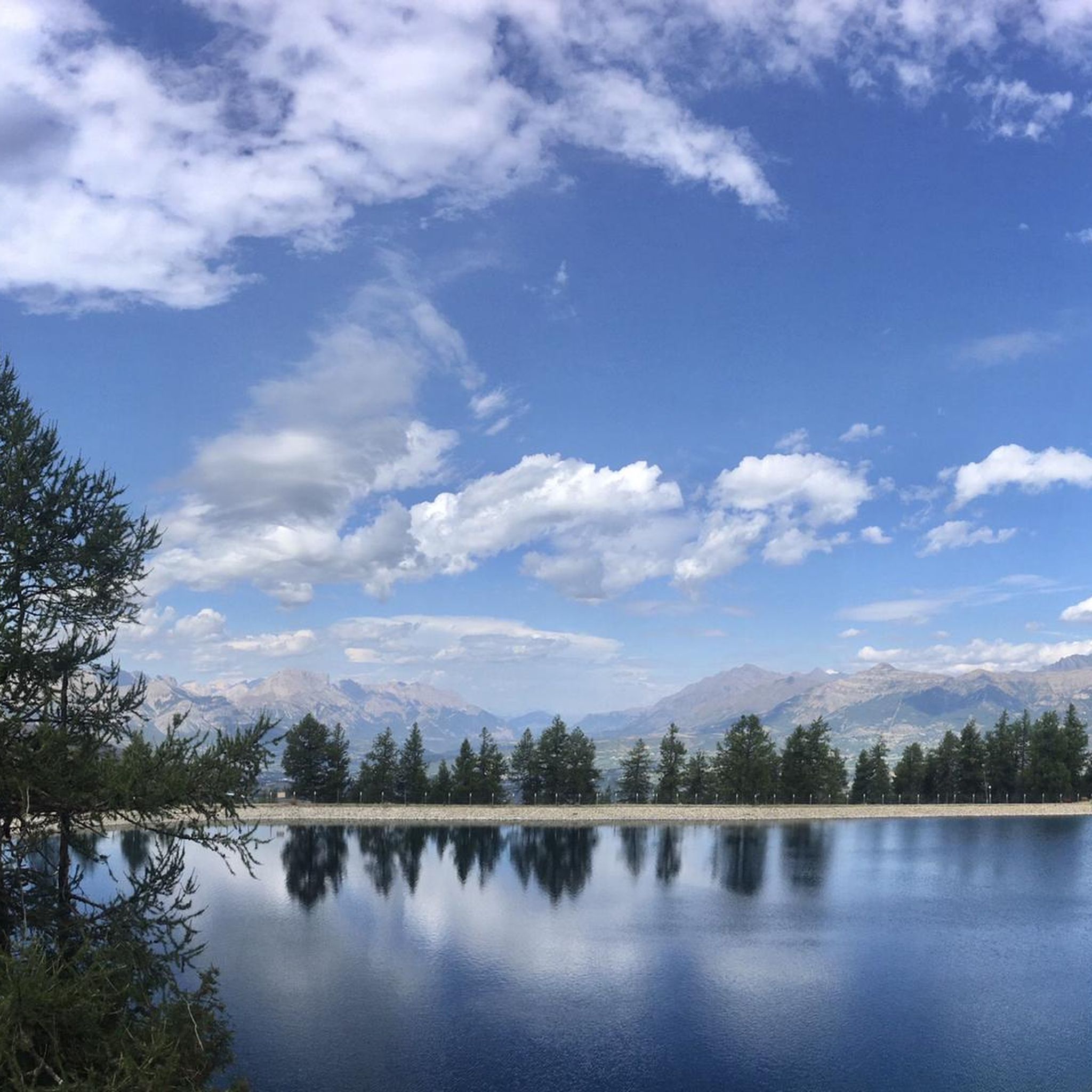
The loop to the Joubelle cabin is very pleasant to do, from the lake parking lot.
0
0
Frequently Asked Questions
What is the general difficulty level of mountaineering routes around Ancelle?
The mountaineering routes around Ancelle are primarily categorized as moderate to difficult. There are 8 moderate routes and 2 difficult routes available, offering substantial elevation changes and challenging terrain typical of the French Alps.
Are there any routes suitable for experienced mountaineers seeking a significant challenge?
Yes, experienced mountaineers will find challenging routes in the Ancelle region. For instance, the Vieux Chaillol loop from Saint-Michel-de-Chaillol is a difficult 17.4 km trail with over 1500 meters of elevation gain, typically taking nearly 9 hours to complete. Another demanding option is the Panoramic loop from Station de Ski de Réallon, a difficult 11.2 km path with sweeping alpine views.
Are there any easier mountaineering routes for beginners in the Ancelle area?
While there are no routes specifically classified as 'easy' for mountaineering in Ancelle, several moderate routes offer a good introduction to the region's terrain. The Col de Rouanette loop from Archinard is a moderate 9.3 km trail that takes under 4 hours, providing a manageable challenge through mountain passes and valleys.
What kind of distances and elevation gains can I expect on mountaineering routes near Ancelle?
Mountaineering routes in Ancelle feature significant distances and elevation gains. You can expect routes ranging from approximately 7.9 km to 17.4 km, with elevation gains typically between 640 meters and over 1500 meters. These ascents offer rewarding panoramic views of the alpine landscape.
Are there any circular mountaineering routes in the Ancelle region?
Yes, many of the mountaineering routes around Ancelle are circular, allowing you to start and end at the same point. Examples include the challenging Vieux Chaillol loop from Saint-Michel-de-Chaillol, the scenic Panoramic loop from Station de Ski de Réallon, and the moderate Lac des Sirènes – Lac Long loop from Orcières.
What are some notable natural attractions or landmarks I might encounter on these routes?
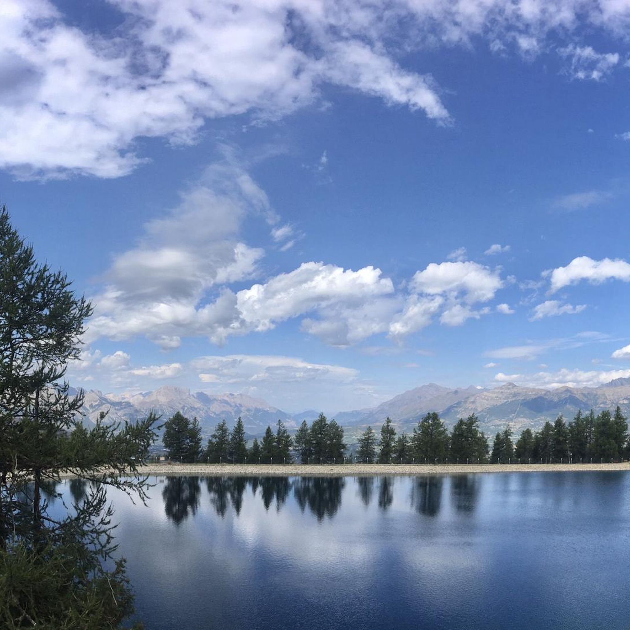
The Ancelle region is rich in natural beauty. Along the routes, you might encounter stunning mountain passes such as Col de Moissière (1573 m) or Col de Gleize (1691 m). There are also beautiful alpine lakes like Lac de Saint-Apollinaire and Lac des Sirènes, which are often highlights of the tours.
What do other mountaineers enjoy the most about mountaineering in Ancelle?
The mountaineering routes in Ancelle are highly rated by the komoot community, with an average score of 4.9 stars from over 20 reviews. Mountaineers frequently praise the expansive mountain vistas, the challenging ascents, and the diverse alpine landscape that defines the region.
Are there any specific lakes or water features to look out for on the routes?
Yes, the Ancelle area features several picturesque alpine lakes. The Lac des Sirènes – Lac Long loop from Orcières specifically highlights two beautiful lakes. You can also find Lac de Saint-Apollinaire as a nearby attraction, often visible from various vantage points.
What is the best time of year for mountaineering in Ancelle?
The best time for mountaineering in Ancelle is typically during the late spring, summer, and early autumn months (June to September). During this period, the weather is generally more stable, snow has melted from higher elevations, and trails are more accessible. Always check local weather forecasts and conditions before heading out.
What should I pack for a summer mountaineering trip in Ancelle?
For summer mountaineering in Ancelle, it's essential to pack layers of clothing suitable for varying alpine conditions, including waterproof and windproof outerwear. Sturdy hiking boots, sun protection (hat, sunglasses, sunscreen), sufficient water, high-energy snacks, a map, compass or GPS device, and a first-aid kit are crucial. Even in summer, temperatures can drop significantly at higher altitudes.
Are there any hidden gem mountaineering routes in the Ancelle area?
While all routes offer unique experiences, the Panoramic loop from Saint-Apollinaire is a moderate 7.9 km route that provides stunning views and is a favorite among those looking for a slightly less frequented, yet equally rewarding, experience. It offers a different perspective of the region's beauty.
Are there options for family-friendly mountaineering trails near Ancelle?
Given that all listed mountaineering routes are rated moderate to difficult, they may not be suitable for very young children or families seeking very easy walks. However, families with older, experienced children who are accustomed to longer hikes and elevation gain might enjoy some of the moderate routes, such as the Lac des Sirènes – Lac Long loop from Orcières, which is 10.4 km with 669m elevation gain.
Most popular routes around Ancelle
Most popular attractions around Ancelle

Get inspired with the komoot mobile app


Explore more
Browse the best Mountain Hikes & Routes in other regions.
