The best walks and hikes around Laverrière
4.6
(25)
67
hikers
16
hikes
Hiking around Laverrière offers a network of trails through varied terrain, characterized by gentle hills and woodlands. The region features a mix of open landscapes and forested areas, providing diverse natural settings for outdoor activities. Elevation gains are generally moderate, making the area accessible for various hiking abilities.
Best hiking trails around Laverrière
- The most popular hiking route is TOSSAC 1 – Tossac 2 loop from Équennes-Éramecourt, a 6.2 miles (10.0 km) trail that takes about 2 hours 45…
Last updated: May 11, 2026
5.0
(2)
11
hikers
3.03km
00:50
50m
50m
Easy hike. Great for any fitness level. Easily-accessible paths. Suitable for all skill levels.
4.3
(6)
10
hikers
10.0km
02:45
160m
160m
Moderate hike. Good fitness required. Easily-accessible paths. Suitable for all skill levels.

Sign up for free
4.7
(3)
8
hikers
5.50km
01:30
80m
80m
Easy hike. Great for any fitness level. Easily-accessible paths. Suitable for all skill levels.
3
hikers
8.36km
02:16
120m
120m
Moderate hike. Good fitness required. Easily-accessible paths. Suitable for all skill levels.
3
hikers
17.6km
04:44
230m
230m
Moderate hike. Good fitness required. Easily-accessible paths. Suitable for all skill levels.
Get access to more routes and recommendations from other explorers.
Sign up for free
Already have an account?
Our route recommendations are based on thousands of hikes, rides, and runs completed by other people on komoot.
Start today with a free account
Your next adventure awaits.
Login or Signup


Frequently Asked Questions
How many hiking trails are there in Laverrière?
Laverrière offers a selection of 16 hiking trails, ranging from easy strolls to more moderate excursions. This variety ensures there's something for every hiker, whether you're looking for a quick walk or a longer adventure.
Are there easy hiking trails suitable for beginners or families in Laverrière?
Yes, Laverrière has 5 easy trails perfect for beginners or families. An excellent option is the La Montagne de Guizancourt loop from Bergicourt, which is 3.4 miles (5.5 km) long and leads through rolling hills and forests, typically completed in about 1 hour 30 minutes.
What is the typical length and duration of hikes in Laverrière?
Hikes in Laverrière vary in length and duration. You can find shorter trails like the La Montagne de Guizancourt loop from Guizancourt, which is about 1.9 miles (3 km) and takes around 50 minutes. Longer moderate trails, such as the Bois des Alleux loop from Contre, can extend up to 10.9 miles (17.5 km) and take over 4 hours.
Are there any circular walks available in Laverrière?
Yes, many of the trails in Laverrière are designed as circular routes, allowing you to start and end at the same point. For example, the popular Mont aux Pourceaux – Bois des Alleux loop from Brassy is a moderate 5.2 miles (8.4 km) path that winds through wooded areas and open countryside.
What kind of terrain can I expect on the hiking trails around Laverrière?
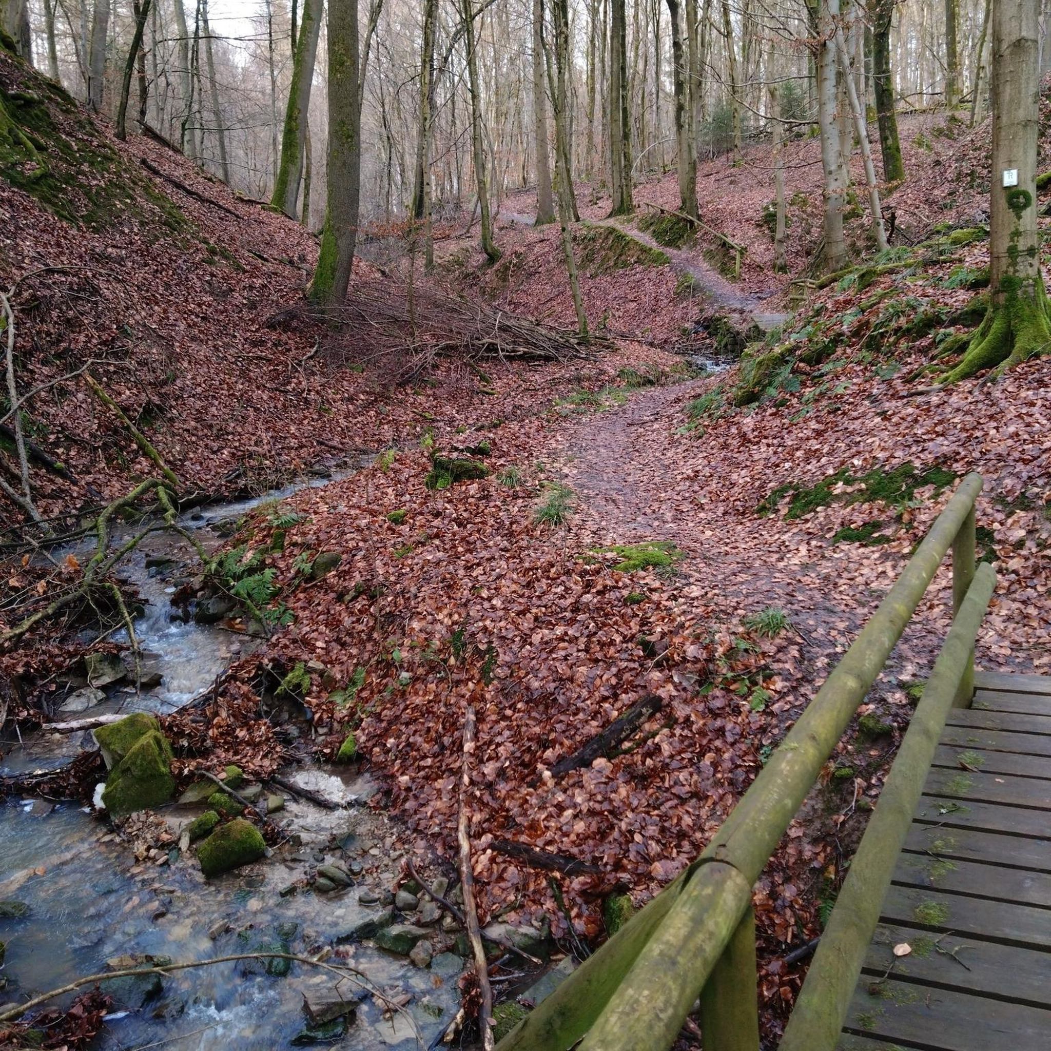
The terrain around Laverrière is characterized by gentle hills, woodlands, and open fields. You'll encounter a mix of forested areas and open landscapes, with generally moderate elevation gains, making the trails accessible for various hiking abilities.
What do other hikers enjoy the most about hiking in Laverrière?
The area is highly rated by the komoot community, with an average score of 4.5 stars from around 20 reviews. Hikers often praise the varied terrain, which includes quiet woodlands and open countryside, and the accessibility of the trails for different skill levels.
Is parking available at the trailheads in Laverrière?
While specific parking information for each trailhead isn't always detailed, most rural hiking areas like Laverrière typically offer designated parking spots or roadside parking near popular starting points. It's advisable to check the route details on komoot for specific parking recommendations before you go.
Can I reach hiking trails in Laverrière using public transport?
Public transport options to reach specific trailheads in Laverrière may be limited, as it is a more rural area. It's generally recommended to use a car for convenient access to the various starting points of the hiking routes. Always check local transport schedules if you plan to rely on public services.
What is the best time of year for hiking in Laverrière?
The gentle hills and woodlands of Laverrière make it enjoyable for hiking throughout much of the year. Spring and autumn offer pleasant temperatures and beautiful scenery with changing foliage. Summer is also suitable, though it can be warmer, while winter hikes are possible, especially on the less challenging routes, provided conditions are safe.
Are there any longer, more challenging hikes for experienced hikers in Laverrière?
While Laverrière's trails are generally moderate, there are longer options for those seeking more distance. The Bois des Alleux loop from Contre, at 10.9 miles (17.5 km) with moderate elevation changes, offers a more extended experience for experienced hikers.
What should I wear for hiking in Laverrière?
Given the varied terrain of woodlands and open fields, it's best to wear comfortable, layered clothing suitable for the weather conditions. Sturdy hiking shoes are recommended, especially for trails that might be muddy after rain. Bringing water and snacks is always a good idea.

Get inspired with the komoot mobile app


Explore more
Browse the best Hikes in other regions.
