The best mountain hikes around La Rochette
5.0
(3)
31
hikers
4
hikes
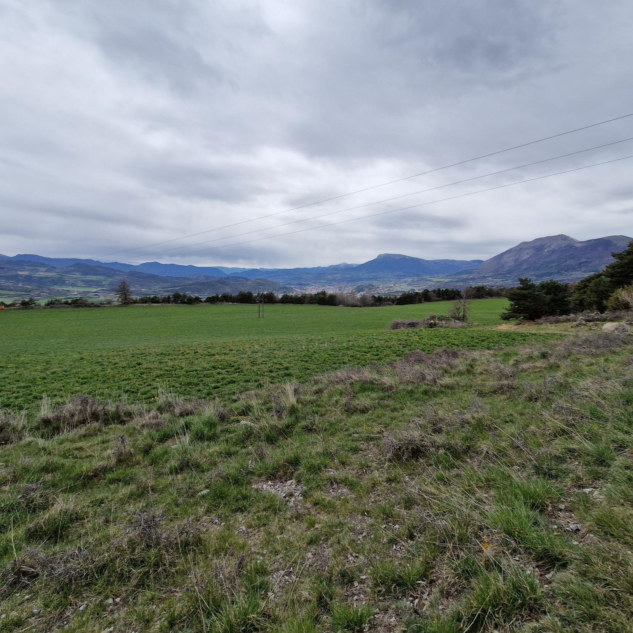
Mountaineering around La Rochette offers a diverse range of routes within the mountainous terrain near Gap. The region is characterized by varied elevations, providing opportunities for both challenging ascents and moderate trails. These mountaineering routes traverse different landscapes, from forested slopes to more exposed mountain ridges. The area's topography supports a range of experiences for those seeking mountain exploration.
Best mountaineering routes around La Rochette
- The most popular mountaineering route is Vieux Chaillol loop from Saint-Michel-de-Chaillol, a 10.8 miles…
Last updated: July 7, 2026
5.0
(2)
16
hikers
17.4km
08:47
1,510m
1,510m
Hard mountaineering route. Very good fitness required. Sure-footedness, sturdy shoes and alpine experience required.
5.0
(1)
8
hikers
9.08km
03:54
800m
800m
Moderate mountaineering route. Good fitness required. Easily-accessible paths. Suitable for all skill levels.

Sign up for free
2
hikers
9.20km
03:24
570m
570m
Hard mountaineering route. Good fitness required. Sure-footedness, sturdy shoes and alpine experience required.
2
hikers
12.8km
04:58
860m
860m
Moderate mountaineering route. Good fitness required. Easily-accessible paths. Suitable for all skill levels.
2
hikers
9.85km
03:22
540m
540m
Moderate mountaineering route. Good fitness required. Easily-accessible paths. Suitable for all skill levels.
Our route recommendations are based on thousands of hikes, rides, and runs completed by other people on komoot.
Start today with a free account
Your next adventure awaits.
Login or Signup
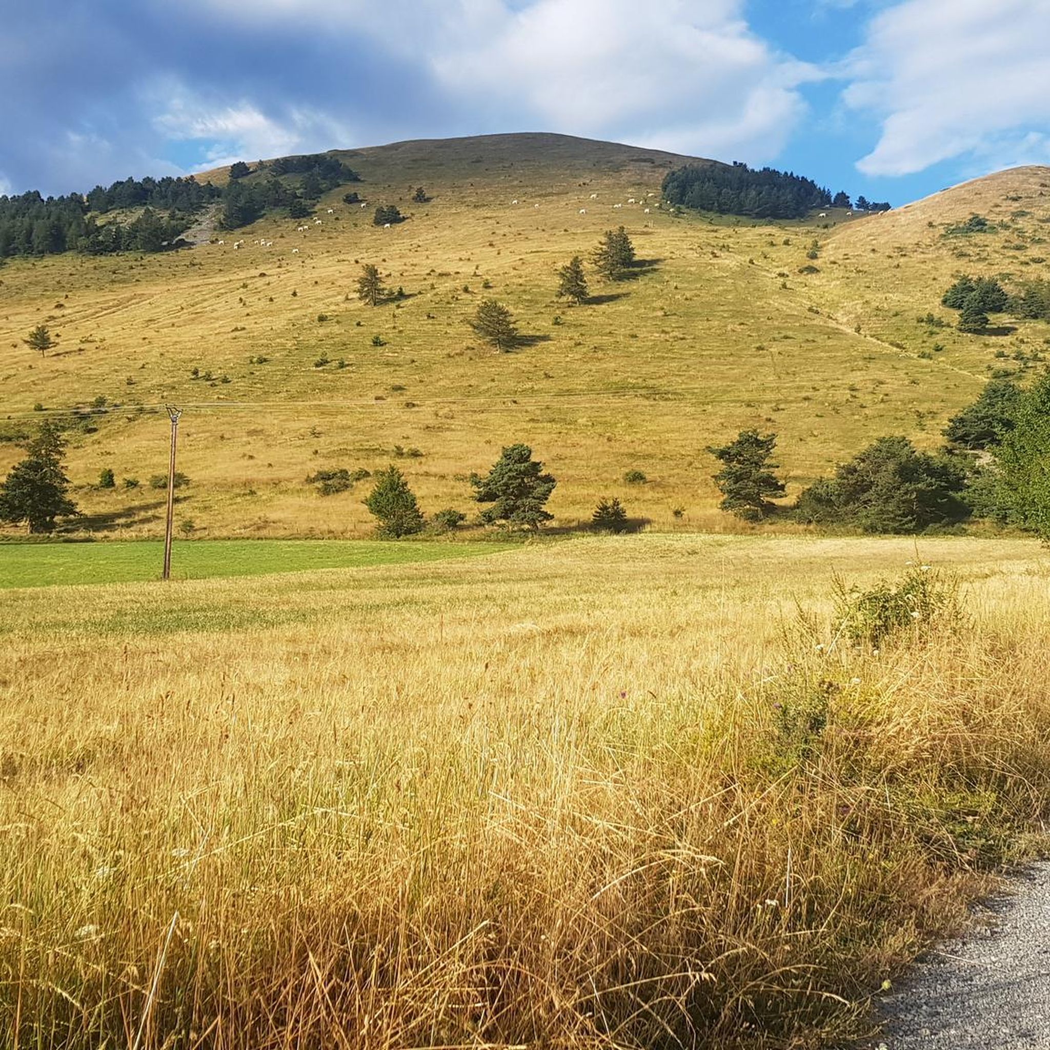
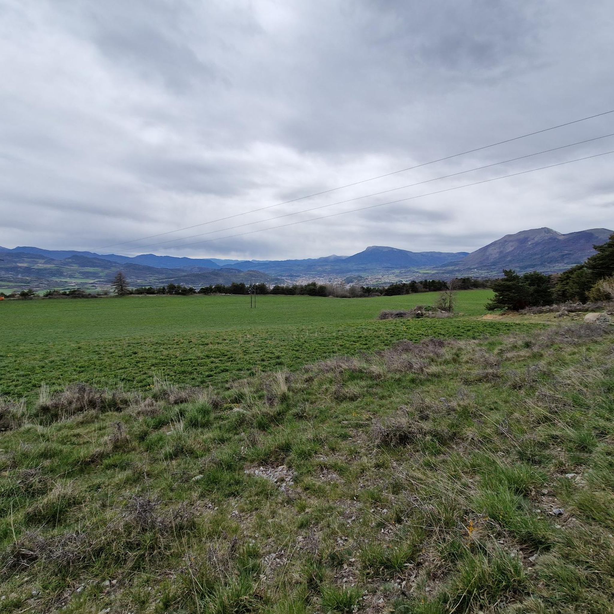
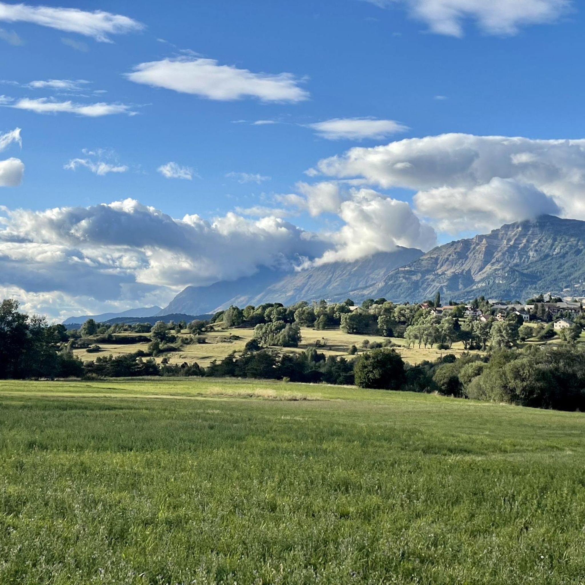

Tips from the Community

Very quiet but (http://rosetoy.cam/) extremely effective.
0
0

It is one of the highest bocages in Europe. These landscapes are typical in France, but this one is one of the best preserved. It has a superb network of beech hedges, crops, meadows and woods which attracts beautiful biodiversity and many birds.
0
0
The Col de Gleize car park is located next to a designated picnic area. It is the starting point for many hiking trails that intersect here.
0
0

Culminating at 2,354 meters, the Col de la Pisse offers beautiful panoramas of the Écrins massif.
0
0

This path borders the Gap canal. The Gap canal collects water from the Drac in Haut-Champsaur and brings it to the Gapençais basin, where it is mainly used to supply the town of Gap with drinking water. The walk along the water reveals beautiful views of the surrounding landscapes.
0
0

For a great picnic with a 360° view of breathtaking landscapes: meet at Pic Chaudun 🌟
0
0

It is accessible by car via a pretty narrow road and has parking as it is the starting point for many trails.
1
0

A pretty garden in the Charance estate with roses, a waterfall and beautiful paths.
0
0
Frequently Asked Questions
What is the general difficulty level of mountaineering routes around La Rochette?
The mountaineering routes in this region are primarily classified as moderate to difficult. There are no easy routes listed in this guide, so a good level of fitness and some mountaineering experience are recommended.
How long do mountaineering routes around La Rochette typically take to complete?
The duration of routes varies significantly. For example, the Summit without a cross loop from Col de Gleize can be completed in about 2 hours 12 minutes, while the more challenging Vieux Chaillol loop from Saint-Michel-de-Chaillol typically takes around 8 hours 46 minutes.
Are there any circular mountaineering routes available near La Rochette?
Yes, several routes are designed as loops, allowing you to start and finish at the same point. Examples include the Pic de Charance – La Brèche de Charance loop from Gap and the Pointe de Fleurendon loop from Canyon de Rouanette.
What kind of views can I expect on the mountaineering routes in La Rochette?
Mountaineering around La Rochette offers varied mountain terrain, including forested sections and open ridges. Many routes provide panoramic views of the surrounding mountainous landscape, often near prominent peaks or passes. For example, the Pic de Charance – La Brèche de Charance loop from Gap offers views near Gap.
Is parking generally available at the trailheads for mountaineering routes?
While specific parking information isn't detailed for every route, trails often start from accessible locations such as towns like Gap or Saint-Michel-de-Chaillol, or from mountain passes like Col de Gleize. It is generally advisable to check local parking options for your chosen starting point.
Are there any family-friendly mountaineering options around La Rochette?
The routes listed in this guide are generally moderate to difficult, involving significant elevation changes and longer durations. They are best suited for families with older children or teenagers who have prior mountaineering experience and a good level of fitness.
What do other mountaineers enjoy most about the routes in La Rochette?
The komoot community highly rates the mountaineering experience in La Rochette, with an average score of 5.0 stars from over 10 reviews. Mountaineers often praise the varied mountain terrain, which includes both forested sections and open ridges, offering a diverse range of challenges and scenic beauty.
What are some notable natural landmarks or attractions near the mountaineering routes?
The region is rich in natural beauty. You can explore various mountain passes such as Col de Moissière (1573 m) or Col de Gleize (1691 m). There are also beautiful lakes and viewpoints like the View of Lac de Serre-Ponçon from Mont Colombis.
Are there any particularly challenging mountaineering routes for experienced hikers?
Yes, for experienced mountaineers seeking a significant challenge, the Vieux Chaillol loop from Saint-Michel-de-Chaillol is a difficult route covering 17.4 km with substantial elevation gain. Another difficult option is the Summit without a cross loop from Col de Gleize.
What is the best season for mountaineering around La Rochette?
While specific seasonal recommendations are not provided, mountaineering in this region, characterized by varied elevations and mountain ridges, is generally best enjoyed during the warmer months from late spring to early autumn. Winter conditions can introduce snow and ice, requiring specialized equipment and experience.
Can I find routes that offer a balance of challenge and scenic beauty?
Absolutely. The Pic de Charance – La Brèche de Charance loop from Gap is a moderate 8.3 km path that offers a balanced challenge with notable elevation changes and scenic views near Gap, making it a popular choice for those seeking both exertion and beautiful surroundings.
Most popular routes around La Rochette
Most popular attractions around La Rochette

Get inspired with the komoot mobile app


Explore more
Browse the best Mountain Hikes & Routes in other regions.
