The best running trails around Montmotier
4.5
(4)
81
runners
24
runs
Jogging around Montmotier offers routes through a landscape characterized by its connection to the Canal des Vosges and the scenic La Voie Bleue. The area features largely flat, well-maintained paths along waterways, including the Coney River, which forms part of Montmotier's southern border. Runners can explore rural settings and forested surroundings, with routes often featuring gentle elevation changes. This environment provides tranquil jogging opportunities away from motorized traffic.
Best jogging routes around Montmotier
- The most popular jogging route is Beautiful…
Last updated: July 7, 2026
5.0
(1)
11
runners
17.2km
01:58
270m
270m
Hard run. Very good fitness required. Mostly paved surfaces. Suitable for all skill levels.
5
runners
6.48km
00:45
80m
80m
Moderate run. Good fitness required. Mostly paved surfaces. Suitable for all skill levels.

Sign up for free
5
runners
9.10km
01:00
120m
120m
Moderate run. Good fitness required. Mostly paved surfaces. Suitable for all skill levels.
4
runners
6.63km
00:44
90m
90m
Moderate run. Good fitness required. Mostly paved surfaces. Suitable for all skill levels.
3.0
(1)
4
runners
11.9km
01:24
150m
150m
Moderate run. Good fitness required. Mostly paved surfaces. Suitable for all skill levels.
Get access to more routes and recommendations from other explorers.
Sign up for free
Already have an account?
Our route recommendations are based on thousands of hikes, rides, and runs completed by other people on komoot.
Start today with a free account
Your next adventure awaits.
Login or Signup

Tips from the Community

Attigny is a pretty little village on the banks of the Saône.
3
0
Frequently Asked Questions
How many running routes are available around Montmotier?
There are currently 18 dedicated jogging routes around Montmotier listed on komoot. These routes primarily offer moderate difficulty levels, with some sections along the Canal des Vosges being suitable for easier runs.
What makes Montmotier a good place for jogging?
Montmotier is ideal for running due to its serene landscapes, accessible pathways, and connection to the Canal des Vosges and the scenic "La Voie Bleue". These routes are largely flat, well-maintained, and often paved, providing a tranquil environment free from motorized traffic. The Coney River also offers picturesque waterside running opportunities.
Are there any easy running routes for beginners in Montmotier?
While most routes are classified as moderate, the "La Voie Bleue" along the Canal des Vosges offers extensive, largely flat sections that are well-suited for beginners or those looking for an easier run. These paths provide a peaceful experience without significant elevation changes.
Can I find long-distance running trails in the Montmotier area?
Yes, the "La Voie Bleue" along the Canal des Vosges provides opportunities for longer runs. This itinerary is known for its extended, largely flat paths, allowing runners to cover significant distances in a tranquil setting. For example, the Beautiful valley loop from Camping Nature La Clairière du Verbamont is 7.8 miles (12.6 km) and offers a good moderate distance.
Are there circular running routes near Montmotier?
Many of the running routes in the Montmotier area are designed as loops. For instance, the Running loop from Betoncourt-Saint-Pancras is a 5.7 miles (9.1 km) trail that takes you through rural landscapes and returns to your starting point.
What do other runners say about the trails in Montmotier?
The running routes in Montmotier are highly rated by the komoot community, with an average score of 4.3 stars from a few reviews. Over 60 runners have used komoot to explore the varied terrain, often praising the quiet, natural environment and the well-maintained paths along the waterways.
What interesting sights can I see while jogging in Montmotier?
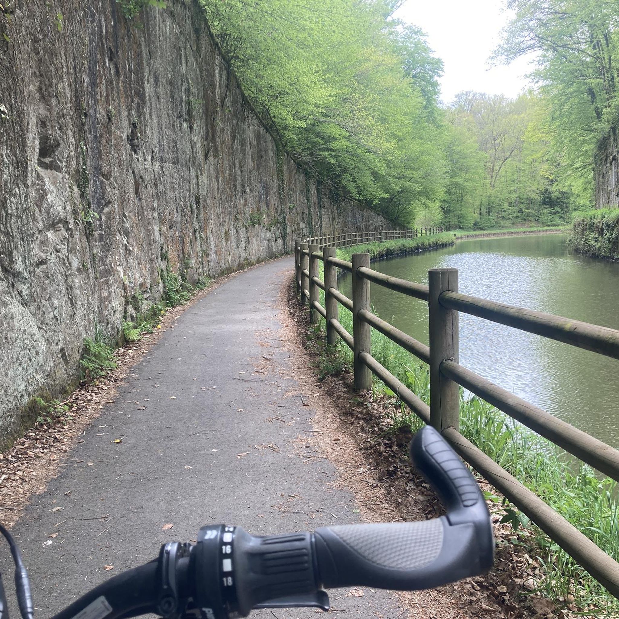
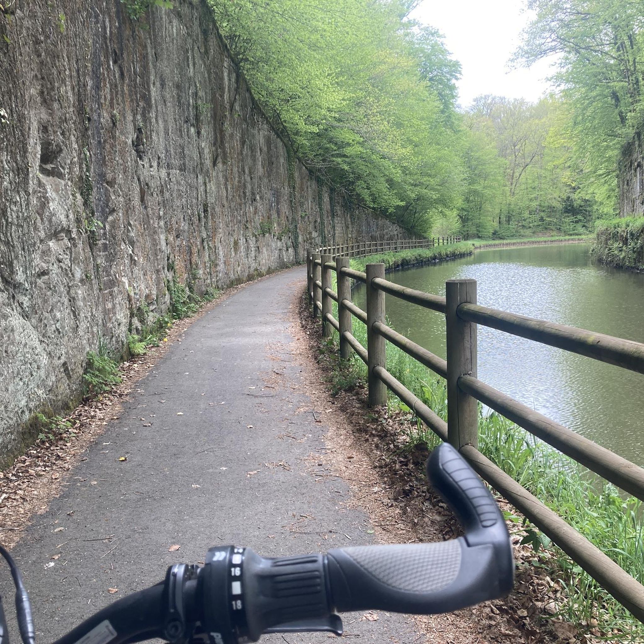
While running in Montmotier, you can enjoy the natural beauty of the Canal des Vosges and the Coney River. Notable points of interest include the Canal breakthrough in Montmotier, a particularly scenic section of the canal. You might also pass by the Selles Swing Bridge. The broader region also features the Royal Factory of Bains-les-Bains with its pleasant parks.
Are the jogging routes in Montmotier suitable for families?
Yes, many sections of the "La Voie Bleue" along the Canal des Vosges are largely flat and well-maintained, making them suitable for family jogging. The absence of motorized traffic ensures a safe and peaceful environment for all ages. The Étang Jacquin – Étang Lallemand loop from Bains-les-Bains offers varied terrain around two ponds that families might enjoy.
Are dogs allowed on the running trails around Montmotier?
Generally, dogs are welcome on most public trails in rural areas like Montmotier, especially on paths like the "La Voie Bleue" and along the Canal des Vosges. However, it's always advisable to keep dogs on a leash and ensure you clean up after them to respect other users and the natural environment.
Is there parking available near the jogging routes in Montmotier?
Given Montmotier's rural setting and its connection to the Canal des Vosges, parking is typically available in or near the commune, especially at access points to the canal paths or in nearby villages. Specific parking information for individual routes can often be found on their respective komoot tour pages.
How can I access the running trails in Montmotier using public transport?
Montmotier is a rural commune, and public transport options might be limited. Access to the running trails, particularly those along the Canal des Vosges and "La Voie Bleue", is primarily by car. It's recommended to check local bus schedules for the Vosges department if you plan to rely on public transport, though direct access to trailheads might require a short walk or cycle.
What is the best time of year to go running in Montmotier?
The spring and autumn months generally offer the most pleasant conditions for running in Montmotier, with mild temperatures and beautiful scenery as nature awakens or changes colors. Summer can also be enjoyable, especially in the mornings or evenings, though it can get warm. Winter running is possible, but paths might be damp or occasionally icy.
Are there any specific considerations for winter jogging in Montmotier?
During winter, the paths along the Canal des Vosges and "La Voie Bleue" can be damp, and in colder conditions, some sections might become icy. It's advisable to wear appropriate footwear with good grip and layered clothing. The tranquil environment remains, but be mindful of shorter daylight hours and potentially slippery surfaces.
Are there scenic running trails with viewpoints in Montmotier?
The primary scenic appeal of Montmotier's running routes comes from its waterside paths along the Canal des Vosges and the Coney River, offering tranquil views of the waterways and surrounding rural and forested landscapes. While not featuring dramatic mountain viewpoints, the "Canal breakthrough in Montmotier" is highlighted as a particularly scenic section of the canal, providing a peaceful and picturesque running experience.
Most popular attractions around Montmotier

Get inspired with the komoot mobile app


Explore more
Browse the best Running Trails & Routes in other regions.
