The best mountain hikes around Valbonnais
4.7
(3)
32
hikers
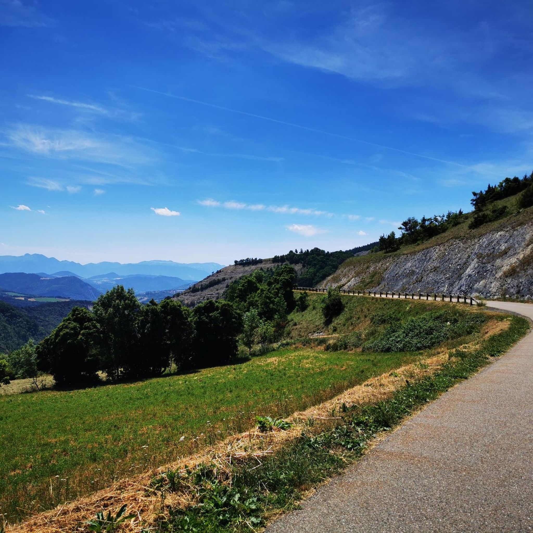
Mountaineering routes around Valbonnais traverse alpine landscapes characterized by high mountain passes, glacial lakes, and rugged peaks. The region features significant elevation changes, offering challenging ascents and descents through varied terrain. These routes often lead through forested valleys before opening up to exposed ridges and summits, providing a diverse mountaineering experience.
Best mountaineering routes around Valbonnais
- The most popular mountaineering route is Lac Charlet – L'Oreille du Loup loop from Villard-Saint-Christophe, a 5.7 miles (9.2 km) trail that takes…
Last updated: July 6, 2026
12
hikers
9.18km
04:16
790m
790m
Hard mountaineering route. Good fitness required. Sure-footedness, sturdy shoes and alpine experience required.
4.0
(1)
11
hikers
8.99km
04:04
830m
830m
Hard mountaineering route. Good fitness required. Sure-footedness, sturdy shoes and alpine experience required.

Sign up for free
5.0
(1)
1
hikers
10.7km
03:49
620m
620m
Moderate mountaineering route. Good fitness required. Mostly accessible paths. Sure-footedness required.
Our route recommendations are based on thousands of hikes, rides, and runs completed by other people on komoot.
Start today with a free account
Your next adventure awaits.
Login or Signup

Frequently Asked Questions
What is the typical difficulty level for mountaineering routes around Valbonnais?
Mountaineering routes in the Valbonnais region are generally challenging. The available routes are categorized as either moderate or difficult, featuring significant elevation changes and rugged alpine terrain. For example, the Lac Charlet – Col de l'Ollière 2024 m loop is a moderate option, while routes like the Lac Charlet – L'Oreille du Loup loop are considered difficult.
Are there any circular mountaineering routes in Valbonnais?
Yes, all the featured mountaineering routes around Valbonnais are designed as circular loops, allowing you to start and end at the same point. This includes popular options such as the Le Tabor loop from Villard-Saint-Christophe and the longer Lac Charlet – Le Tabor loop.
What is the best time of year for mountaineering in Valbonnais?
The optimal time for mountaineering in Valbonnais is typically from late spring to early autumn (June to September). During these months, the weather is generally more stable, snow has melted from higher elevations, and trails are more accessible. Always check local weather forecasts and trail conditions before heading out.
What kind of landscapes and natural features can I expect to see on these routes?
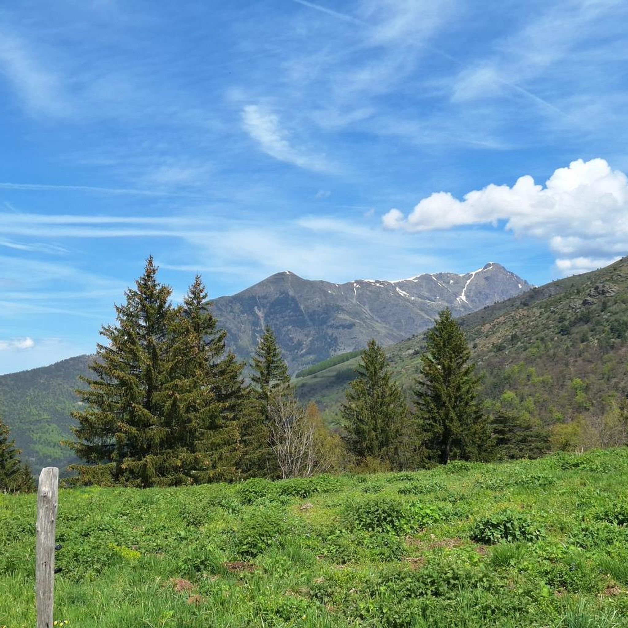
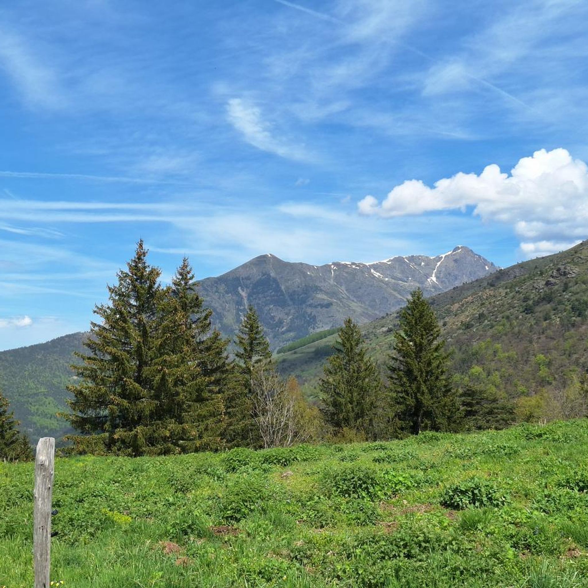
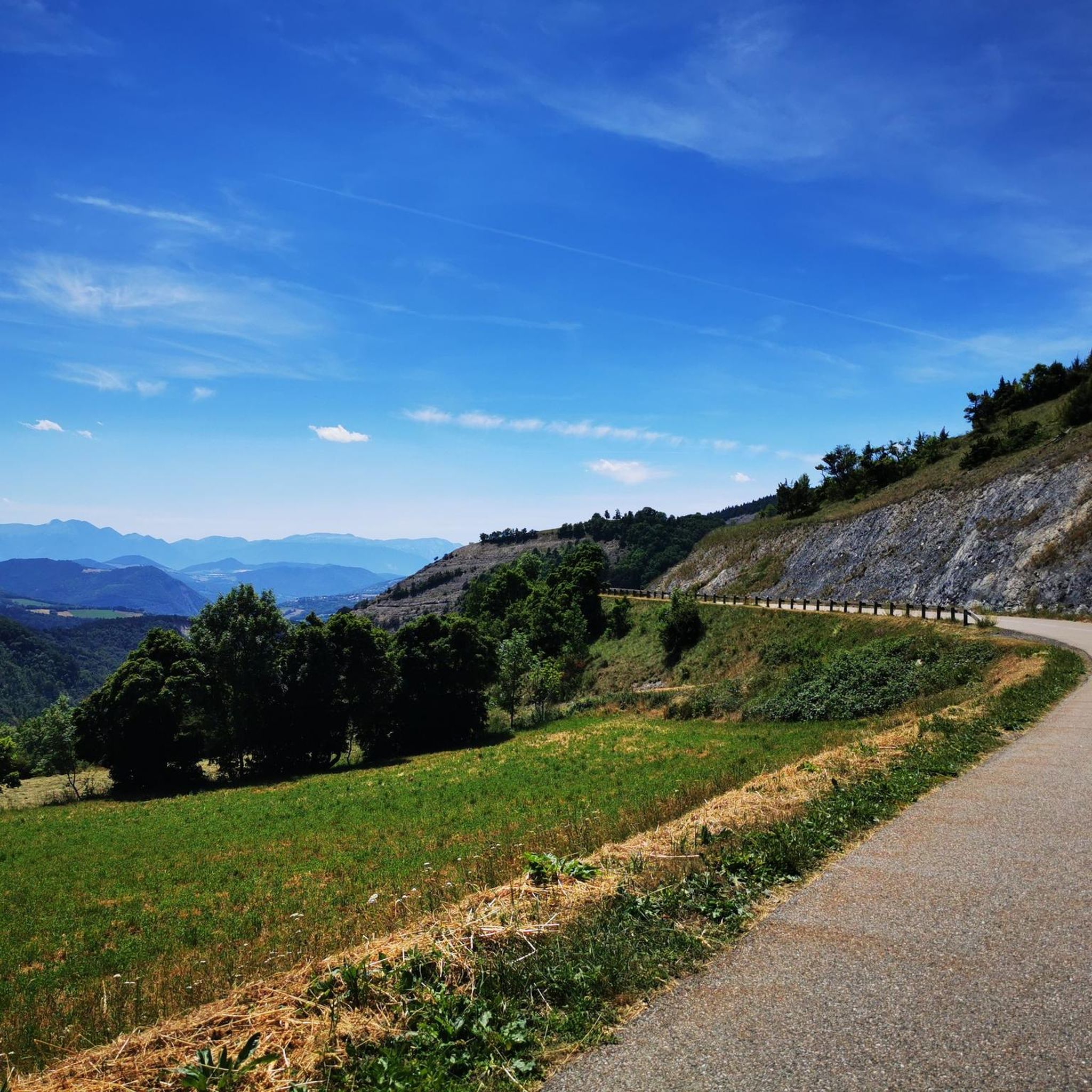
The mountaineering routes in Valbonnais traverse diverse alpine landscapes. You can expect to encounter high mountain passes, pristine glacial lakes, and rugged peaks. The trails often lead through forested valleys before opening up to exposed ridges and summits, offering panoramic views. For instance, the Lac Charlet – L'Oreille du Loup loop features stunning alpine lake views.
Are there any specific attractions or landmarks along the mountaineering routes?
While the routes themselves offer natural beauty, the Valbonnais area is rich in points of interest. You might encounter various mountain passes such as the Ornon Pass, Plan Collet Pass, and Parquetout Pass. These passes often provide elevated viewpoints and historical significance within the alpine landscape.
How long do the mountaineering routes in Valbonnais typically take to complete?
The duration of mountaineering routes in Valbonnais varies depending on the specific trail and your pace. For example, the Lac Charlet – L'Oreille du Loup loop is estimated to take around 4 hours 15 minutes, while the longer Lac Charlet – Le Tabor loop can take approximately 4 hours 48 minutes.
What do other mountaineers say about the routes in Valbonnais?
The mountaineering routes in Valbonnais are highly regarded by the komoot community, holding an average rating of 4.7 stars. Reviewers frequently praise the challenging ascents, the stunning alpine scenery, and the rewarding views from the elevated viewpoints over the Valbonnais area.
Is winter mountaineering possible in Valbonnais?
Winter mountaineering in Valbonnais presents significant challenges due to heavy snowfall, avalanche risks, and extreme cold. While possible for experienced and well-equipped mountaineers, it requires specialized knowledge, gear, and careful assessment of conditions. It is generally recommended to stick to the warmer months for most visitors.
Are there any less crowded mountaineering options in the Valbonnais area?
While the listed routes are popular, exploring during off-peak times (weekdays, early mornings) can offer a more solitary experience. Additionally, the vastness of the Valbonnais region means there are always opportunities to discover less frequented paths if you are prepared for more remote exploration.
What should I pack for a mountaineering trip in Valbonnais?
Given the challenging terrain and variable alpine weather, essential gear includes sturdy hiking boots, layered clothing (waterproof and windproof outer layers), a backpack with sufficient water and snacks, a map and compass or GPS device, sun protection, and a first-aid kit. Trekking poles are also highly recommended for stability on steep ascents and descents.
Are the mountaineering routes in Valbonnais suitable for families or beginners?
The mountaineering routes around Valbonnais are generally rated as moderate to difficult, involving significant elevation gain and rugged terrain. They are best suited for individuals with prior mountaineering or strenuous hiking experience. Families with young children or absolute beginners might find these routes too demanding and should consider easier hiking trails in the broader region.
Where can I find parking or trailheads for these routes?
The listed routes, such as the Lac Charlet – L'Oreille du Loup loop and the Le Tabor loop, typically start from Villard-Saint-Christophe. Parking is usually available near the village or designated trailheads. Always check specific route details on komoot for precise starting points and parking information.
Most popular attractions around Valbonnais

Get inspired with the komoot mobile app


Explore more
Browse the best Mountain Hikes & Routes in other regions.
