The best MTB trails around Frôlois
5.0
(2)
32
riders
12
rides
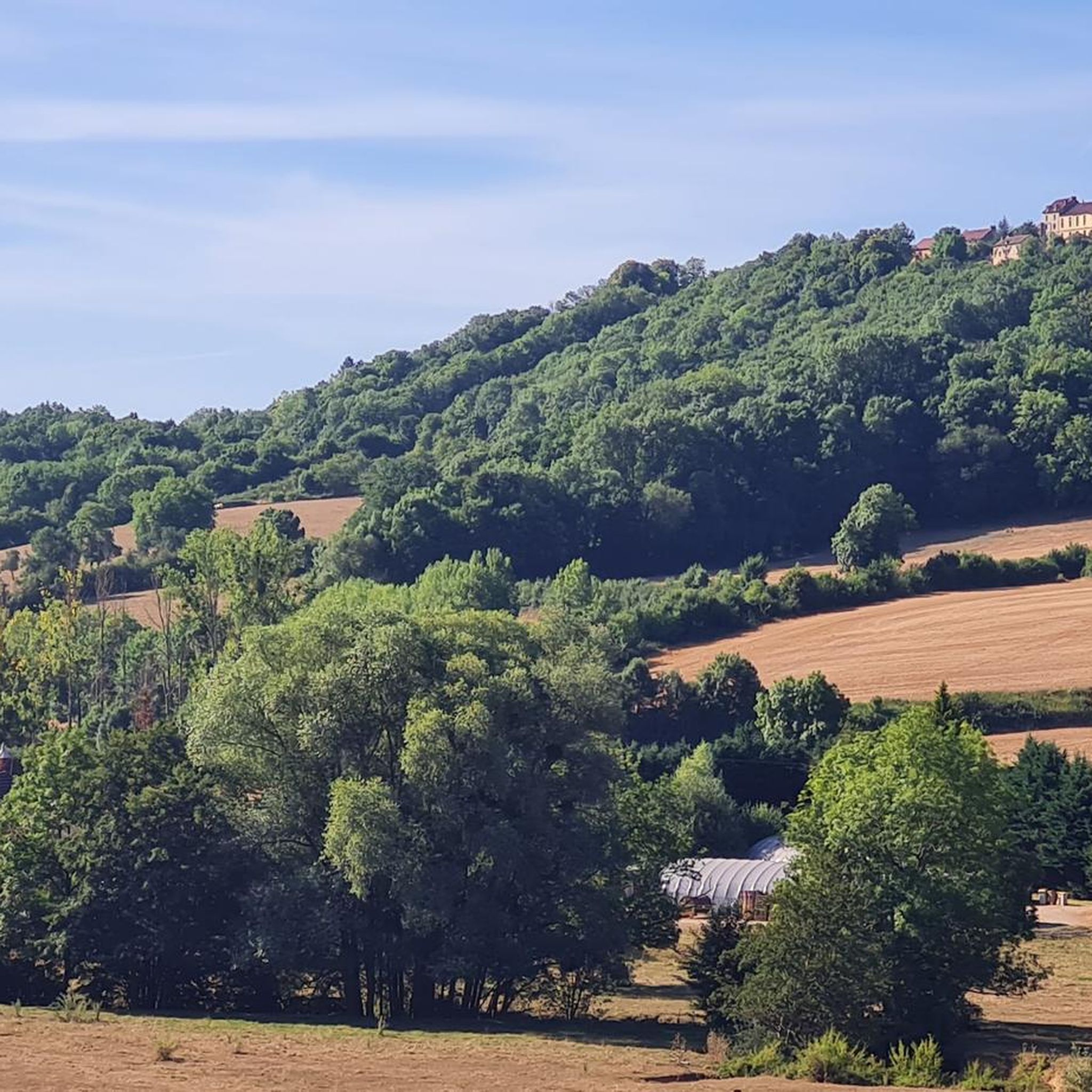
Mountain biking around Frôlois offers a diverse landscape characterized by rolling hills, dense woodlands, and river valleys, providing varied terrain for cyclists. The region features a mix of open countryside and shaded forest paths, with elevations that present both gentle climbs and more challenging ascents. Trails often follow historical routes or connect natural landmarks, making for engaging rides. This area is suitable for mountain bikers seeking routes through the French countryside.
Best mountain bike trails around Frôlois
- The most popular…
Last updated: July 6, 2026
5.0
(2)
18
riders
40.2km
03:23
550m
550m
Moderate mountain bike ride. Good fitness required. Advanced riding skills necessary.
3
riders
33.7km
02:27
470m
470m
Moderate mountain bike ride. Good fitness required. Suitable for all skill levels.

Sign up for free
7
riders
24.9km
02:03
250m
250m
Moderate mountain bike ride. Good fitness required. Suitable for all skill levels.
2
riders
26.6km
01:35
220m
220m
Easy mountain bike ride. Great for any fitness level. Suitable for all skill levels.
3
riders
20.5km
01:43
260m
260m
Moderate mountain bike ride. Great for any fitness level. Advanced riding skills necessary.
Get access to more routes and recommendations from other explorers.
Sign up for free
Already have an account?
Our route recommendations are based on thousands of hikes, rides, and runs completed by other people on komoot.
Start today with a free account
Your next adventure awaits.
Login or Signup
Tips from the Community

A bucolic, clean, well-maintained, and shaded spot, with tables and trash cans for picnicking. It's officially a Paris commune, but it looks nothing like Paris.
0
0

There's a signposted and very beautiful circular trail that includes the source of the Seine. Learn more on the official website here: https://www.cotedor-randonnee.com/
1
0

Wikipedia reports: "The source of the Seine is located on the plateau of Langres, 25 km north-west of Dijon in the Côte-d'Or department in the Bourgogne-Franche-Comté region, 470 m above sea level. A special feature is that the sources of the Seine were the property of the city of Paris from 1864 onwards. An artificial grotto was built a year later to protect the main source and a statue of a nymph was erected to symbolize the river. Paris has since returned the property to the region. Near the source are the remains of a Gallo-Roman temple in which a Dea Sequana (Latin goddess of the Seine) was worshipped. The archaeological finds from this are now in the archaeological department of the Musée des Beaux-Arts in Dijon."
2
1

The Seine is a river 777 km long and flows into the English Channel.
4
0

Here we find a clearing with a cave and a sculpture around the source of the Seine. The large lawn near the grotto is ideal for playing Frisbee or having a picnic. Wooden tables are also available.
0
0

This is where one of France's most famous rivers begins. With its meadows and picnic benches, it is a perfect stopover for your race.
2
0

This is where the source of the Seine rises in a stone grotto. Surrounded by a small but very well-kept outdoor area, with hiking trails, benches, statues and information boards.
3
2

Sources de la Seine, the Seine sources, that is a small area in which, because of its importance, the city of Paris has exercised property rights for more than 100 years. The signs can still be seen today, even though the capital city enclave was abandoned a few years ago; the city of Paris returned the site to the region. The place is signposted, but you can only find it if you have the geo-coordinates or if you can use the Google Plus code (FPP8 + CQ Source-Seine, France) to get there using a GPS; the street D103 in F-21690 Source-Seine is certainly not helpful. There is no parking space, by the way, you just stand at the roadside and walk over to the park. As rustic as the grotto, with which the spring is roofed, also comes across, it is artificial and was created in 1865 according to plans by the Parisian architect Haussmann. A marble nymph by the sculptor Jouffroy adorns this spring.
1
0
Frequently Asked Questions
How many mountain bike trails are available around Frôlois?
There are over a dozen mountain bike trails around Frôlois listed on komoot, offering a variety of experiences. The region features a total of 13 routes for mountain biking.
Are there easy mountain bike trails suitable for beginners in Frôlois?
Yes, Frôlois offers several easy mountain bike trails perfect for beginners or those looking for a relaxed ride. For example, the Source of the Seine loop from Bligny-le-Sec is an easy 11.8-mile (19 km) route that takes about 1 hour 33 minutes to complete.
What kind of terrain can I expect on mountain bike trails in Frôlois?
The mountain bike trails around Frôlois are characterized by rolling hills, dense woodlands, and scenic river valleys. You'll encounter a mix of open countryside and shaded forest paths, with elevations that include both gentle climbs and more challenging ascents, providing varied terrain for cyclists.
Are there any circular mountain bike routes in Frôlois?
Yes, many of the mountain bike routes in Frôlois are circular, allowing you to start and finish at the same point. An example is the Alise-Sainte-Reine Village – Washhouse at Flavigny sur Ozerain loop from Flavigny-sur-Ozerain, a moderate 27.2-mile (43.8 km) trail.
What is the best time of year for mountain biking in Frôlois?
The spring and summer months generally offer the most pleasant conditions for mountain biking in Frôlois, with warmer weather and lush scenery. Autumn can also be beautiful with changing foliage, though trails might be wetter.
Are there mountain bike trails that pass by historical sites or points of interest?
Yes, some trails in Frôlois lead past significant landmarks. For instance, the Statue of Vercingetorix – MuséoParc Alésia loop from Alise-Sainte-Reine offers views of historical sites. You can also explore highlights like the Source of the Seine or the charming village of Flavigny-sur-Ozerain.
What do other mountain bikers say about the trails in Frôlois?
The mountain bike routes in Frôlois are highly regarded by the komoot community, holding an average rating of 5.0 stars from over 2 reviews. More than 39 mountain bikers have used komoot to explore the varied terrain, often praising the scenic beauty and diverse landscapes.
Are there any long-distance mountain bike trails in Frôlois?
Yes, Frôlois offers several longer mountain bike trails for those seeking a more extensive ride. The Alise-Sainte-Reine Village – Washhouse at Flavigny sur Ozerain loop from Flavigny-sur-Ozerain is one of the longer options, covering 27.2 miles (43.8 km).
Can I find mountain bike trails that are suitable for families with children?
Families can enjoy mountain biking in Frôlois, especially on the easier routes. The region's gentle climbs and shaded forest paths on trails like the Source of the Seine loop from Bligny-le-Sec provide a pleasant experience for all skill levels.
Where can I find parking for mountain bike trails in Frôlois?
While specific parking areas for each trail are not detailed in the route descriptions, many trails start from or pass through villages like Alise-Sainte-Reine or Flavigny-sur-Ozerain, where public parking is generally available. It's advisable to check local signage upon arrival.
Are there any challenging mountain bike trails for experienced riders in Frôlois?
While there are no trails explicitly graded as 'difficult' in the immediate Frôlois area, many of the moderate routes feature significant elevation gains and longer distances that can provide a good challenge for experienced riders. For example, the Le Haut des Lavières – Source of the Seine loop from Côte-d'Or covers 22.9 miles (36.9 km) with over 1,600 feet (500 meters) of climbing.
Most popular attractions around Frôlois

Get inspired with the komoot mobile app


Explore more
Browse the best MTB trails in other regions.
