The best mountain hikes around Longchaumois
4.5
(2)
57
hikers
7
hikes
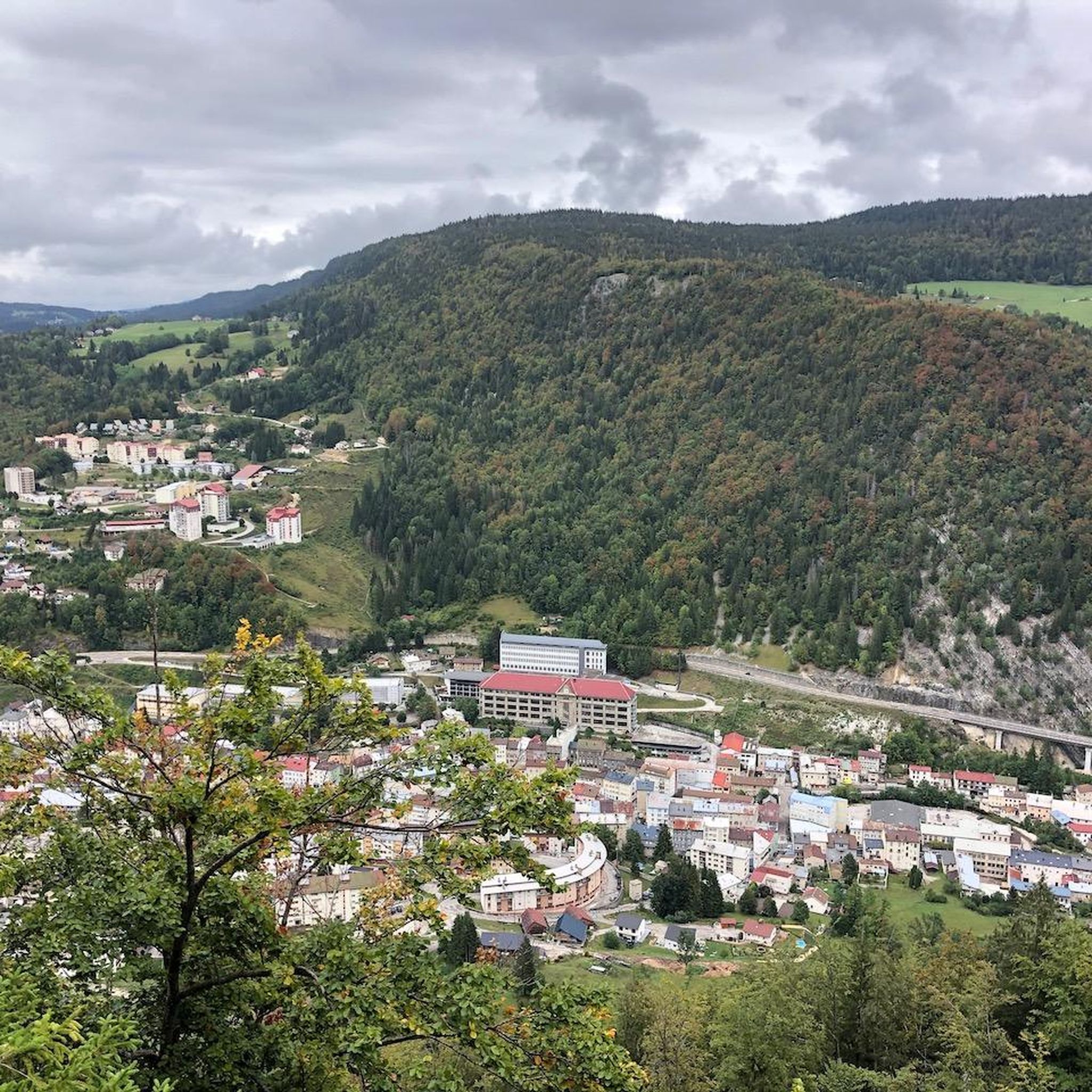
Mountaineering routes around Longchaumois are situated within the elevated terrain of the Jura Mountains, offering a diverse landscape for outdoor pursuits. The region is characterized by dense forests, open meadows, and rugged mountain features, with the village itself resting at altitudes between 880 and 1260 meters. This setting provides varied ascents and descents through valleys and towards prominent peaks, making it suitable for mountain-focused activities. The natural environment includes deep gorges and panoramic viewpoints, contributing to the area's appeal for mountaineers.
Best mountaineering routes around Longchaumois
- The most popular mountaineering route is La Dôle loop from Les Pralies, a difficult 9.3 miles (15.0 km) trail that takes 5 hours to complete. This route features significant elevation gain and expansive views of the surrounding Jura landscape.
- Another top favourite among local mountaineers is La Dôle – Chalet de La Pile-Dessus loop from Col de la Givrine, a moderate 7.6 miles (12.2 km) path. This trail traverses varied terrain, including forested sections and open mountain slopes.
- Local mountaineers also love the La Dôle loop from Col de la Givrine, a 3.5 miles (5.6 km) trail leading through mountain pastures and offering views of La Dôle, often completed in about 2 hours 14 minutes.
- Mountaineering around Longchaumois is defined by elevated mountain passes, dense forests, and panoramic viewpoints. The network offers options for different ability levels, from moderate ascents to more challenging routes.
- The routes in Longchaumois are highly rated by the komoot community with an average score of 4.5 stars from a few reviews. More than 50 mountaineers have used komoot to explore Longchaumois's varied terrain.
Last updated: July 6, 2026
10
hikers
15.4km
05:07
670m
670m
Hard mountaineering route. Very good fitness required. Mostly accessible paths. Sure-footedness required.
8
hikers
5.97km
02:20
430m
430m
Moderate mountaineering route. Good fitness required. Easily-accessible paths. Suitable for all skill levels.

Sign up for free
1
hikers
7.18km
02:36
430m
430m
Moderate mountaineering route. Good fitness required. Easily-accessible paths. Suitable for all skill levels.
3
hikers
6.46km
02:22
350m
350m
Moderate mountaineering route. Good fitness required. Mostly accessible paths. Sure-footedness required.
5
hikers
9.72km
03:17
410m
410m
Moderate mountaineering route. Good fitness required. Mostly accessible paths. Sure-footedness required.
Get access to more routes and recommendations from other explorers.
Sign up for free
Already have an account?
Our route recommendations are based on thousands of hikes, rides, and runs completed by other people on komoot.
Start today with a free account
Your next adventure awaits.
Login or Signup

Tips from the Community

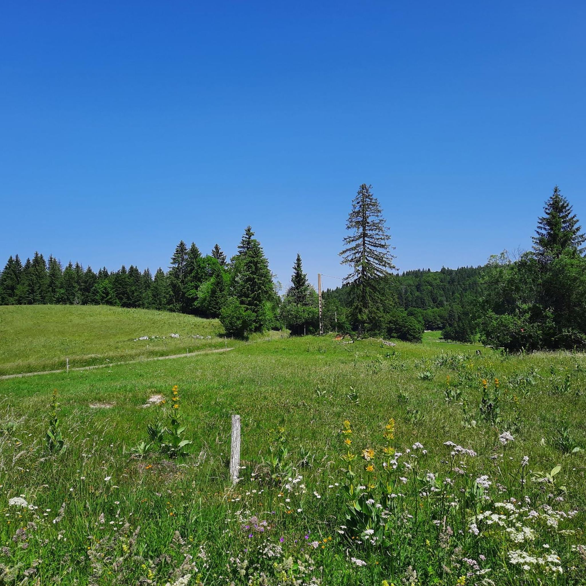
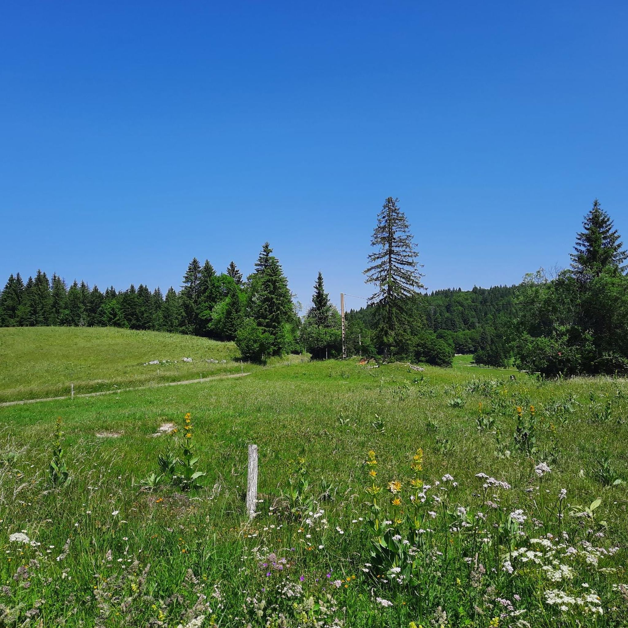
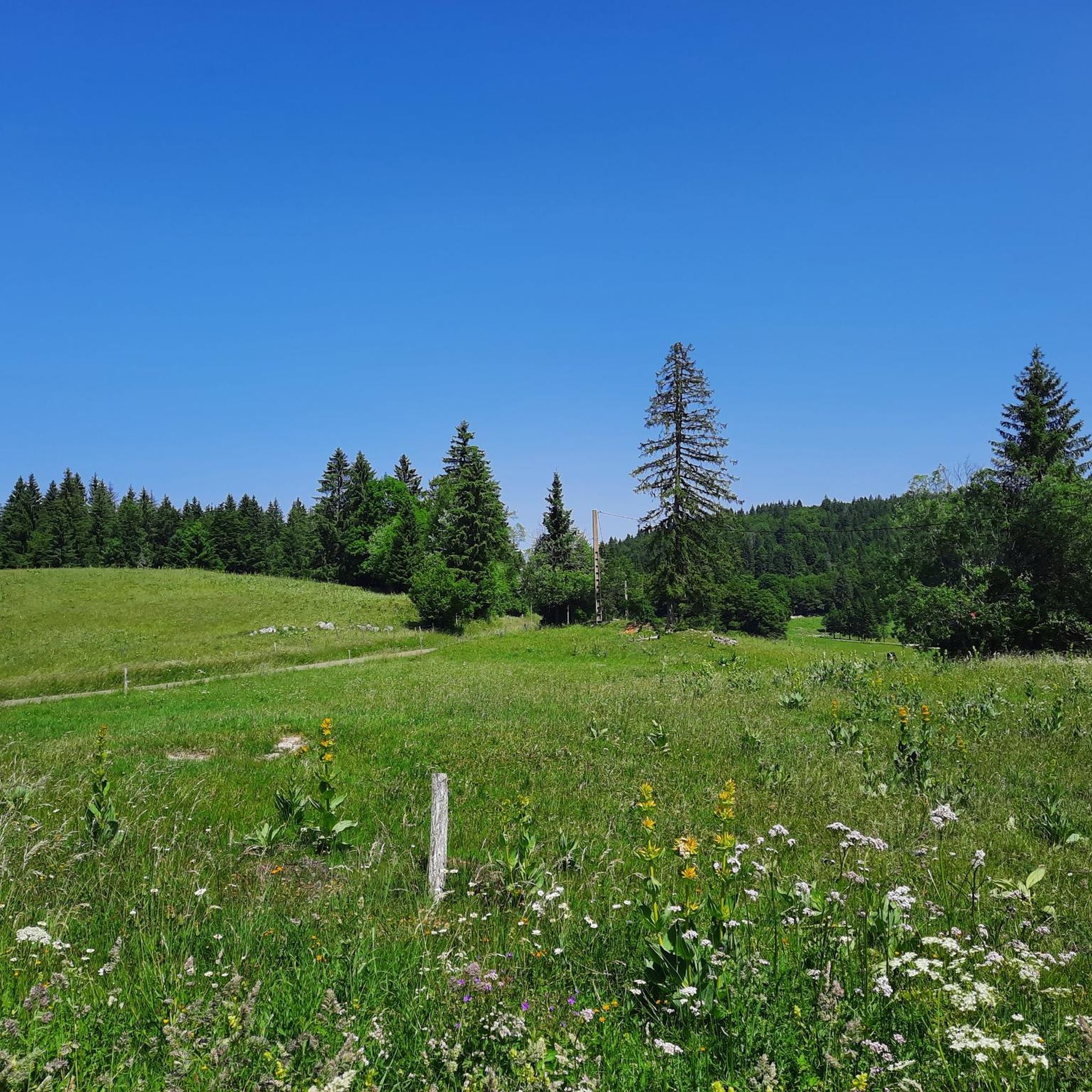
Greenery, small trail path, wild nature, everything is there to enjoy a breath of fresh air
1
0

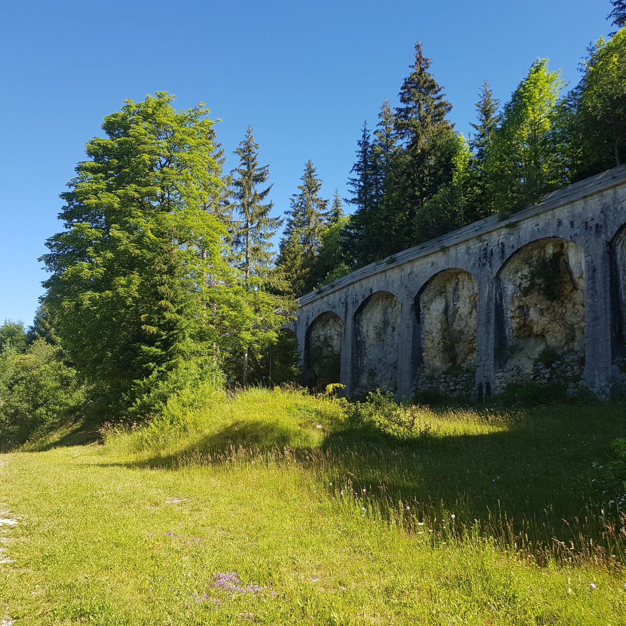
Beautiful section of the Jura Ridge Trail
5
0
Beautiful mountain range with a wonderful panorama
5
1

Wonderful place! Great view! The climb is tough and depending on the route you have to push your bike. I chose the climb via La Barillette and had to walk for about 30-45 minutes. There was also a bit of snow which meant a bit more walking.
1
0

Swiss air traffic control station
0
0
Breathtaking view of Lake Geneva from the air traffic control station
0
0
Breathtaking view of Lake Geneva from the air traffic control station
0
0
Frequently Asked Questions
How many mountaineering routes can I explore around Longchaumois?
There are 8 mountaineering routes available around Longchaumois, offering a diverse range of experiences within the Jura Mountains. These routes cater to various skill levels, from moderate ascents to more challenging expeditions.
What kind of difficulty levels can I expect on mountaineering routes in Longchaumois?
The mountaineering routes around Longchaumois primarily feature moderate to difficult terrain. You'll find 7 moderate routes and 1 difficult route, ensuring options for both experienced mountaineers and those looking for a significant challenge.
Are there any circular mountaineering routes in the Longchaumois area?
Yes, several routes around Longchaumois are circular, allowing you to start and end at the same point. For example, the difficult route La Dôle loop from Les Pralies offers expansive views, while the moderate La Dôle loop from Col de la Givrine takes you through mountain pastures.
What are some notable natural features or landmarks I might encounter on these routes?
The region is rich in natural beauty. You can encounter impressive peaks like La Dôle Summit, which offers magnificent views of Lake Geneva. The area also features deep gorges, such as the Gorges de l'Abîme, and panoramic viewpoints like the Col de la Faucille, providing stunning vistas of the Alps and Valserine Valley.
Are there any waterfalls to see near the mountaineering trails?
Yes, the Longchaumois area is home to several beautiful waterfalls. While not directly on the mountaineering routes, you can find nearby attractions like the Flumen Waterfall, Combes Waterfall, and Pissevieille Waterfall, which are worth exploring.
What do other mountaineers say about the routes in Longchaumois?
The mountaineering routes in Longchaumois are highly rated by the komoot community, with an average score of 4.5 stars. Over 50 mountaineers have used komoot to explore the varied terrain, often praising the diverse landscapes, from dense forests to open mountain slopes, and the rewarding panoramic views.
Can you recommend a moderate mountaineering route that traverses varied terrain?
Certainly. The route La Dôle – Chalet de La Pile-Dessus loop from Col de la Givrine is a moderate 7.6-mile (12.2 km) path that traverses varied terrain, including forested sections and open mountain slopes, offering a well-rounded mountaineering experience.
Are there any mountaineering routes that offer views of mountain passes?
Yes, the region is known for its elevated mountain passes. The route Nyon Ski Club Hut – Col de Porte (Jura) loop from La Givrine is a moderate option that will take you near the Col de Porte (Jura), offering insights into the area's mountainous landscape.
What is the best time of year for mountaineering in Longchaumois?
The Jura Mountains offer distinct experiences throughout the year. While specific mountaineering conditions vary, the region is generally suitable for hiking from spring through autumn. Winter transforms the landscape, making it ideal for snowshoeing and cross-country skiing, though some mountaineering routes may require specific winter gear and expertise.
Are there any family-friendly options for exploring the mountain environment around Longchaumois?
While the listed mountaineering routes are generally moderate to difficult, the broader Longchaumois area offers numerous marked hiking trails suitable for various difficulty levels, including family-friendly options. These trails allow visitors to explore the forests and meadows, providing a gentler introduction to the mountain environment.
Where can I find a mountaineering route that includes a mountain chalet?
You might enjoy the moderate route Chalet de la Combe Gelée loop from Saint-Cergue. This 6.1 km (3.8 miles) trail offers a pleasant journey through the mountain landscape, with the chalet providing a potential point of interest or rest.
Most popular routes around Longchaumois
Most popular attractions around Longchaumois

Get inspired with the komoot mobile app


Explore more
Browse the best Mountain Hikes & Routes in other regions.
