The best mountain hikes around Pougny
4.3
(7)
48
hikers
2
hikes
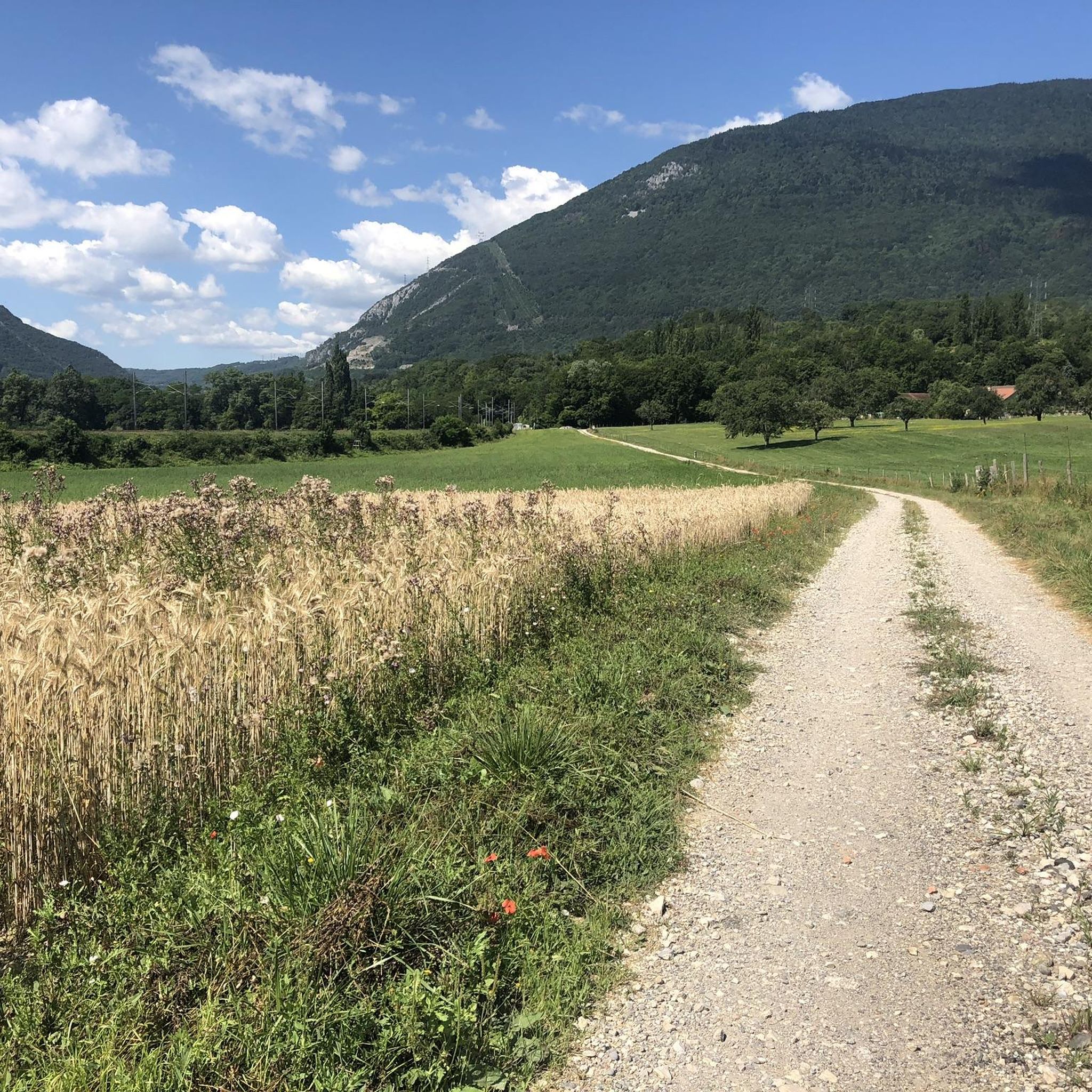
Mountaineering routes around Pougny are situated in the Ain department of France, close to the Swiss border and the Jura Mountains. The region is characterized by its proximity to significant peaks like Le Reculet and Crêt de la Neige, which offer substantial elevation gains. The landscape features a mix of forested slopes and open ridges, providing varied terrain for mountaineering activities. The Rhône River also flows through the area, adding to the natural features of the commune.
Best mountaineering routes…
Last updated: July 6, 2026
4.7
(6)
27
hikers
10.7km
05:29
1,100m
1,100m
Hard mountaineering route. Very good fitness required. Mostly accessible paths. Sure-footedness required.
4.0
(1)
16
hikers
13.4km
05:48
1,120m
1,120m
Hard mountaineering route. Very good fitness required. Mostly accessible paths. Sure-footedness required.

Sign up for free
3
hikers
Hard mountaineering route. Very good fitness required. Mostly accessible paths. Sure-footedness required.
2
hikers
7.91km
02:40
380m
380m
Moderate mountaineering route. Good fitness required. Easily-accessible paths. Suitable for all skill levels.
Our route recommendations are based on thousands of hikes, rides, and runs completed by other people on komoot.
Start today with a free account
Your next adventure awaits.
Login or Signup

Tips from the Community

Magnificent hike! So many beautiful landscapes as far as the eye can see
0
0

Summit in the forest, ideal for taking a break
0
0
Very beautiful 360° view with the added bonus of Mont Blanc when the weather permits
0
0

Super beautiful summit with a wonderful view! The climb is definitely worth it!
0
0

Highest peak in the Jura massif
0
0
Second highest peak in the Jura massif, magnificent viewpoint.
0
0

Very nice hike. Perfect with 2 children and a dog. However, there is no sign indicating that we are entering a nature reserve, just a sign when we leave.
0
0
Frequently Asked Questions
What kind of mountaineering routes can I expect around Pougny?
The mountaineering routes around Pougny are primarily situated in the Jura Mountains, offering a mix of forested slopes and open ridges. You'll find challenging ascents to peaks like Le Reculet and Crêt de la Neige, with significant elevation gains. The area provides options for both moderate and difficult ability levels.
Are there any easier mountaineering routes for beginners?
Yes, for those looking for a more moderate challenge, consider the Tiocan – Grottes de Chazuet loop from Thoiry. This route covers about 8 km with an elevation gain of around 388 meters, making it a good option to experience the region's mountain terrain without the extreme difficulty of other ascents.
What are some of the more challenging mountaineering routes in the area?
For experienced mountaineers, the region offers several demanding routes. The Le Reculet loop from Thoiry is a difficult 10.4 km trail with over 1,100 meters of ascent. Another challenging option is the Crêt der la Neige – Somewhere on the ridge loop from Thoiry, an 13.3 km path with over 1,120 meters of elevation gain, traversing a ridge towards Crêt de la Neige.
What do other mountaineers say about the routes in Pougny?
The mountaineering routes in Pougny are highly regarded by the komoot community, holding an average rating of 4.25 stars from 5 reviews. Over 40 mountaineers have explored these varied terrains, often praising the challenging ascents and the natural beauty of the Jura peaks.
Are there any circular mountaineering routes available?
Yes, many of the routes around Pougny are designed as loops. For example, the Le Reculet loop from Thoiry and the Crêt de la Goutte loop from Zone Quietude Faune Sauvage Col du Sac - Gralet - Poutouille both offer circular paths, allowing you to start and end at the same point.
What natural attractions can I see along the mountaineering routes?
While mountaineering, you might encounter several natural highlights. The Crêt de la Goutte is a summit you can reach, and the Valserine Gorges are also nearby. The region is also home to the Étang du Bois des Mouilles and the Teppes de Verbois Nature Reserve.
Are there any interesting landmarks or points of interest near Pougny?
Beyond the natural beauty, Pougny is notable as the first French village crossed by the Rhône River, offering views of the river and the Etournel Marshes. Historically, Border Marker No. 1, marking the westernmost point of Switzerland, is also located near Pougny.
Is it possible to reach the trailheads using public transport?
While specific public transport options directly to every trailhead might be limited, Pougny is served by the Pougny-Chancy train station. From there, you may find local bus services or need to arrange for a short taxi ride to reach certain starting points for mountaineering routes.
Are there any permits required for mountaineering in the area?
Generally, permits are not required for hiking or mountaineering on established trails in the Jura Mountains around Pougny. However, if you plan to venture into specific protected areas or engage in activities requiring special access, it's always advisable to check with the local authorities or the Haut-Jura Regional Natural Park for any specific regulations.
Are the mountaineering routes around Pougny dog-friendly?
Many trails in the Jura Mountains are dog-friendly, especially if your dog is well-behaved and kept on a leash. However, specific restrictions might apply in certain nature reserves or during wildlife breeding seasons. Always check local signage and respect protected areas.
What is the best time of year for mountaineering in Pougny?
The best time for mountaineering around Pougny is typically from late spring to early autumn (May to October) when the weather is more stable and the trails are clear of snow. During winter, some routes may require specialized equipment and experience due to snow and ice conditions.
Where can I find accommodation or places to eat in Pougny?
Pougny and its surrounding villages offer various amenities for visitors. You can find local cafes, pubs, and accommodation options ranging from guesthouses to small hotels. It's recommended to book in advance, especially during peak seasons.
Most popular attractions around Pougny

Get inspired with the komoot mobile app


Explore more
Browse the best Mountain Hikes & Routes in other regions.
