The best mountain hikes around Chézery-Forens
4.4
(13)
74
hikers
6
hikes
Mountaineering routes around Chézery-Forens traverse the rugged terrain of the Jura mountains, characterized by limestone ridges, dense forests, and significant elevation changes. The region offers a diverse landscape for mountaineers, with paths leading to prominent peaks and through varied alpine environments. These routes often feature open sections with panoramic views and challenging ascents.
Best mountaineering routes around Chézery-Forens
- The most popular mountaineering route is Le Reculet loop from Thoiry, a 6.5 miles (10.4 km) trail that takes 5 hours…
Last updated: July 6, 2026
4.7
(6)
27
hikers
10.7km
05:29
1,100m
1,100m
Hard mountaineering route. Very good fitness required. Mostly accessible paths. Sure-footedness required.
4.0
(1)
16
hikers
13.4km
05:48
1,120m
1,120m
Hard mountaineering route. Very good fitness required. Mostly accessible paths. Sure-footedness required.

Sign up for free
7
hikers
8.29km
04:08
830m
830m
Moderate mountaineering route. Good fitness required. Mostly accessible paths. Sure-footedness required.
3
hikers
Hard mountaineering route. Very good fitness required. Mostly accessible paths. Sure-footedness required.
2
hikers
7.91km
02:40
380m
380m
Moderate mountaineering route. Good fitness required. Easily-accessible paths. Suitable for all skill levels.
Our route recommendations are based on thousands of hikes, rides, and runs completed by other people on komoot.
Start today with a free account
Your next adventure awaits.
Login or Signup
Popular around Chézery-Forens
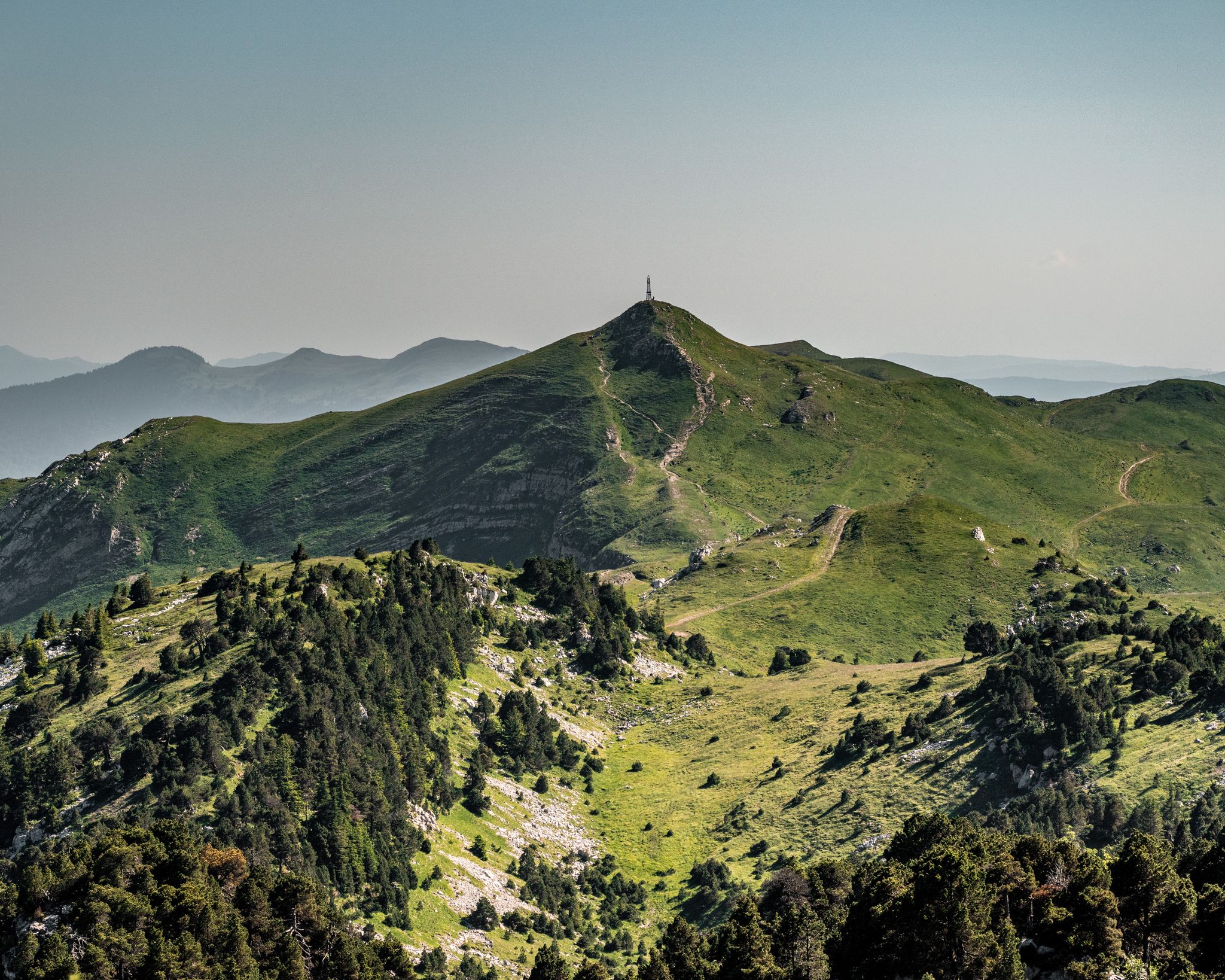
GRP Grand Tour de la Valserine
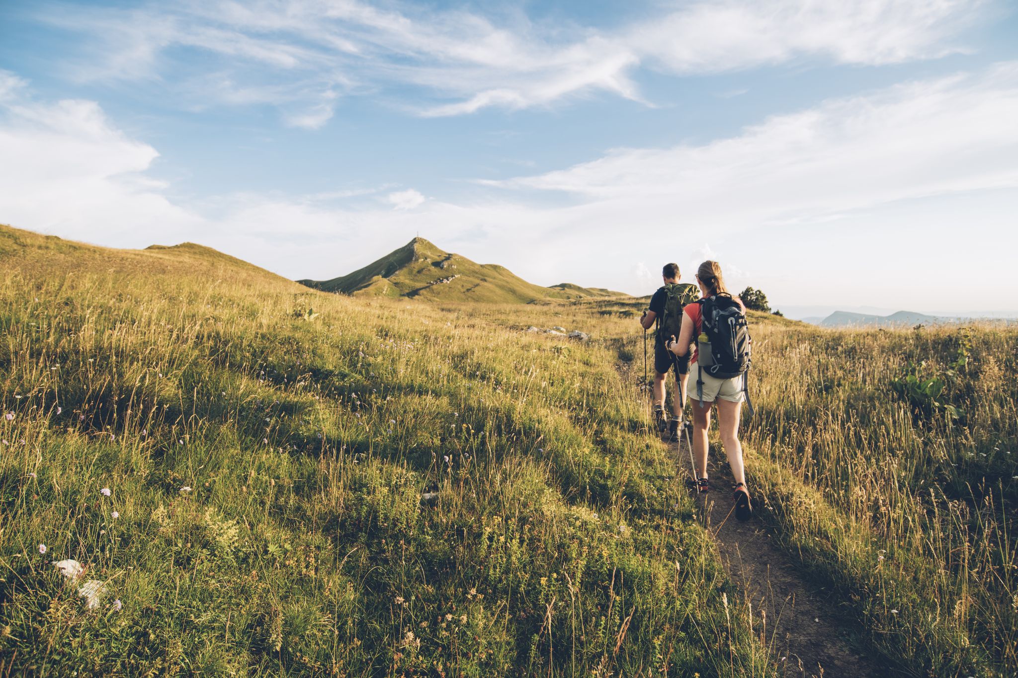
The thousand faces of the Jura Mountains – Grande Traversée du Jura on foot
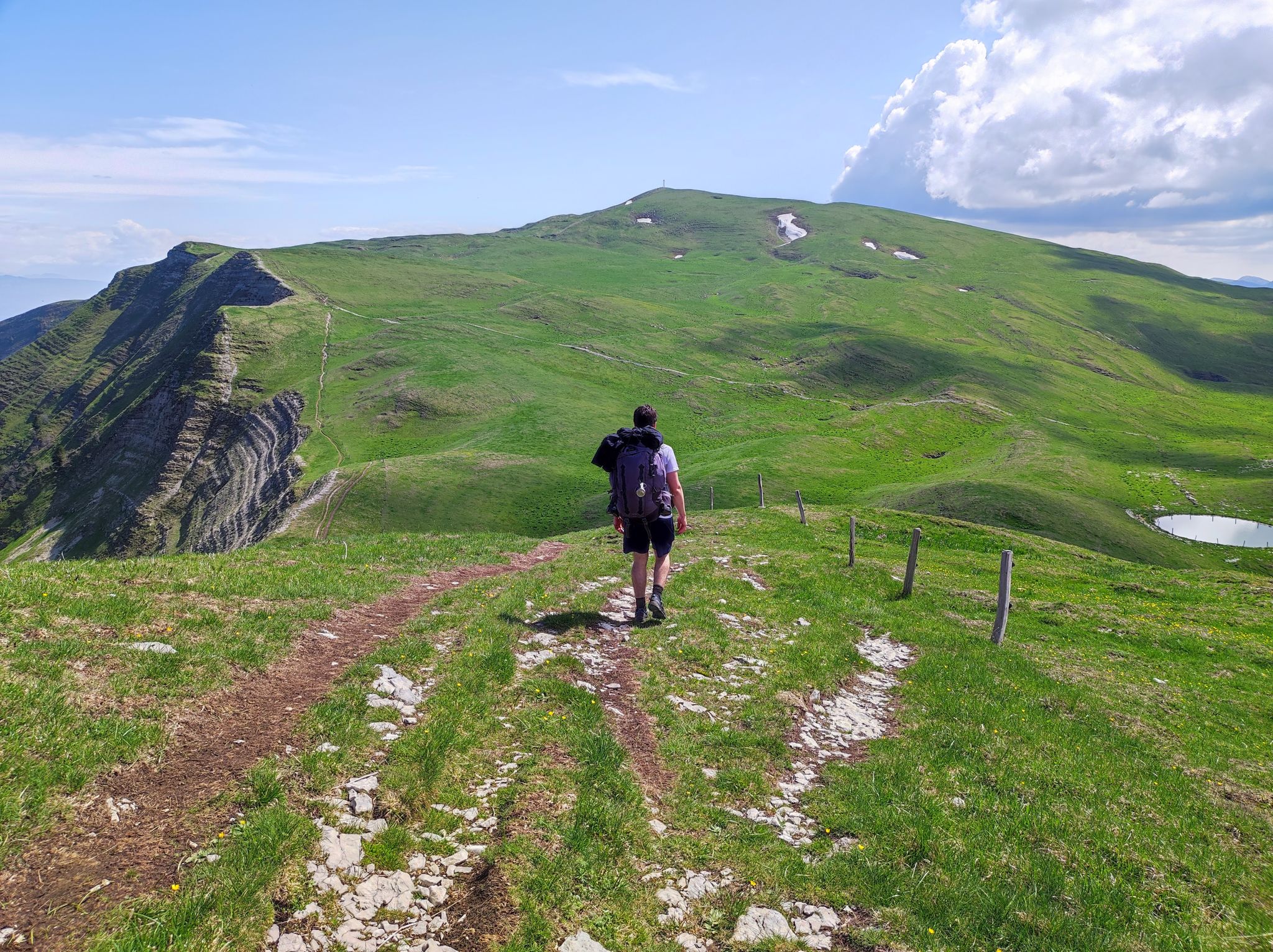
Pays de Gex - Monts Jura : Les randonnées officielles
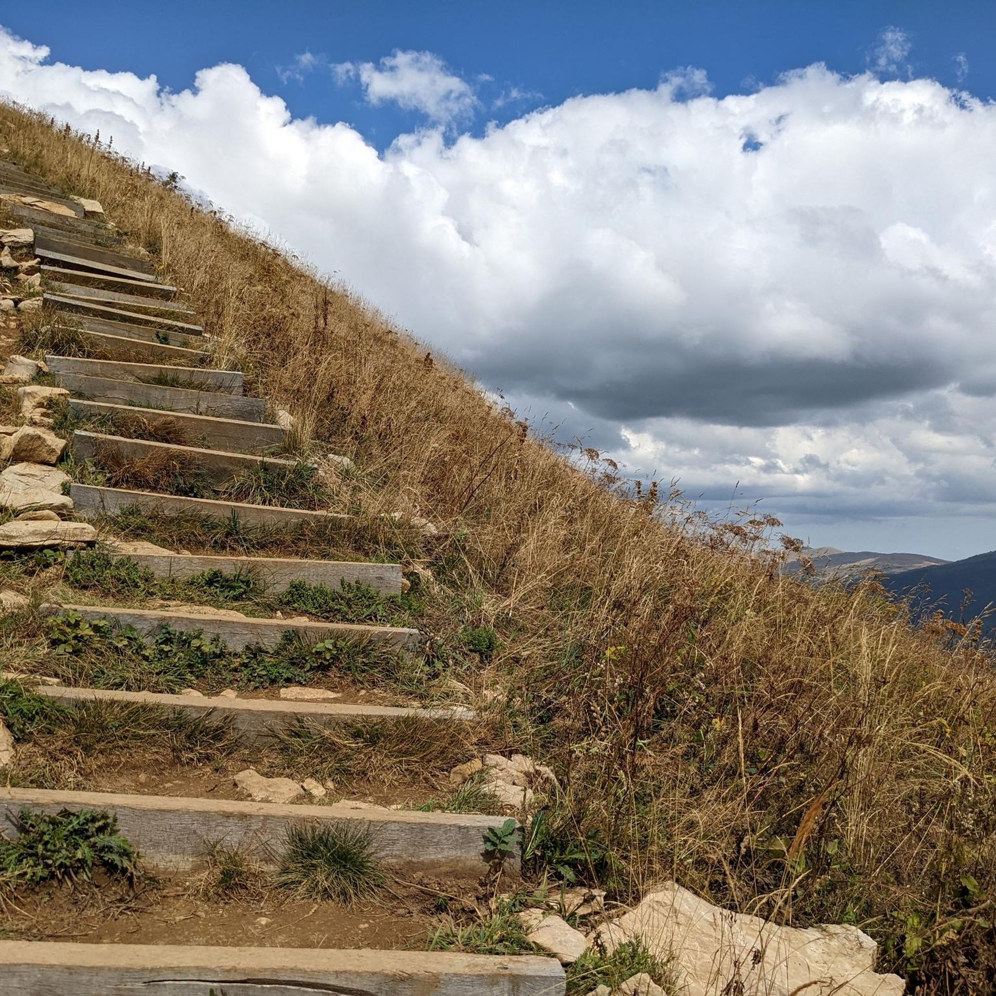
Hiking around Chézery-Forens
Road Cycling Routes around Chézery-Forens
Running Trails around Chézery-Forens
Cycling around Chézery-Forens
MTB Trails around Chézery-Forens

Gravel biking around Chézery-Forens
Other adventures around Chézery-Forens


Tips from the Community

Magnificent hike! So many beautiful landscapes as far as the eye can see
0
0

Summit in the forest, ideal for taking a break
0
0
Very beautiful 360° view with the added bonus of Mont Blanc when the weather permits
1
0

Super beautiful summit with a wonderful view! The climb is definitely worth it!
0
0

Highest peak in the Jura massif
0
0
Second highest peak in the Jura massif, magnificent viewpoint.
0
0

Very nice hike. Perfect with 2 children and a dog. However, there is no sign indicating that we are entering a nature reserve, just a sign when we leave.
0
0
Frequently Asked Questions
How many mountaineering routes are available around Chézery-Forens?
There are 6 mountaineering routes detailed in this guide for the Chézery-Forens area. These routes traverse the rugged terrain of the Jura mountains, offering diverse experiences for mountaineers.
What kind of terrain can I expect on mountaineering routes in Chézery-Forens?
Mountaineering routes around Chézery-Forens are characterized by the rugged terrain of the Jura mountains. You'll encounter limestone ridges, dense forests, and significant elevation changes, with paths leading to prominent peaks and through varied alpine environments. Expect open sections with panoramic views and challenging ascents.
Are there any beginner-friendly mountaineering routes in Chézery-Forens?
While there are no 'easy' routes, several moderate options are suitable for those with some mountaineering experience. For example, the Le Reculet – Somewhere on the ridge loop from Parking du Tiocan is a moderate 7.9 km path, and the Le Reculet loop from Parking du Tiocan is another moderate option covering 8.2 km.
Which routes offer a significant challenge for experienced mountaineers?
For experienced mountaineers seeking a challenge, consider routes like Le Reculet loop from Thoiry, a difficult 10.4 km trail with substantial elevation gain. Another demanding option is the Crêt der la Neige – Somewhere on the ridge loop from Thoiry, which is 13.3 km through high alpine terrain.
Are there any circular mountaineering routes in the area?
Yes, many of the mountaineering routes around Chézery-Forens are circular. Examples include the Le Reculet loop from Thoiry, the Le Reculet – Somewhere on the ridge loop from Parking du Tiocan, and the Crêt der la Neige – Somewhere on the ridge loop from Thoiry, all designed as loops.
What is the typical duration for mountaineering routes in Chézery-Forens?
Most mountaineering routes in Chézery-Forens typically range from 4 to 6 hours to complete. For instance, the Le Reculet – Somewhere on the ridge loop from Parking du Tiocan takes about 4 hours 10 minutes, while the Le Reculet loop from Thoiry is closer to 5 hours 24 minutes.
What interesting landmarks or attractions can I see along the mountaineering routes?
The routes often lead to prominent summits like Le Reculet Summit and Crêt de la Neige, offering spectacular views. You might also encounter the Border Marker No. 1 – Westernmost Point of Switzerland, a unique historical point.
Are there any less crowded mountaineering trails in Chézery-Forens?
While the popular routes can see more traffic, exploring trails like the Crêt de la Goutte loop from Zone Quietude Faune Sauvage Col du Sac - Gralet - Poutouille can offer a more secluded experience. This difficult 14.2 km route provides a challenging yet potentially quieter journey through the Jura mountains.
What do other mountaineers enjoy most about the routes in Chézery-Forens?
The mountaineering routes in Chézery-Forens are highly rated by the komoot community, with an average score of 4.4 stars. Reviewers often praise the challenging ascents, the expansive panoramic views from the ridges and summits, and the diverse alpine environments encountered along the trails.
Where can I find parking for these mountaineering routes?
Many routes start from designated parking areas. For example, the Le Reculet – Somewhere on the ridge loop and the Le Reculet loop both start from Parking du Tiocan. Other routes, like those from Thoiry, also have accessible starting points.
What is the best time of year for mountaineering in Chézery-Forens?
The best time for mountaineering in the Jura mountains around Chézery-Forens is typically from late spring through early autumn (May to October). During these months, the weather is generally more stable, and trails are free of snow, offering optimal conditions for exploring the high peaks and ridges.
Most popular routes around Chézery-Forens
Most popular attractions around Chézery-Forens

Get inspired with the komoot mobile app


Explore more
Browse the best Mountain Hikes & Routes in other regions.
