The best running trails around Mont-Saint-Jean
4.7
(3)
180
runners
41
runs
Jogging routes around Mont-Saint-Jean traverse diverse landscapes within the Parc Naturel Régional and Géoparc Normandie-Maine. The region features a variety of running paths, from easy routes on mostly paved surfaces to more challenging trails with notable elevation gain. Natural features such as ponds and forests contribute to the varied terrain. These running routes offer options for different fitness levels, including scenic loops and paths through the French countryside.
Best jogging routes around Mont-Saint-Jean
- The most popular jogging route is Château…
Last updated: July 6, 2026
14
runners
15.2km
01:47
300m
300m
Hard run. Very good fitness required. Mostly paved surfaces. Suitable for all skill levels.
25
runners
13.8km
01:41
310m
310m
Hard run. Very good fitness required. Mostly paved surfaces. Suitable for all skill levels.

Sign up for free
22
runners
8.02km
00:59
190m
190m
Moderate run. Good fitness required. Mostly paved surfaces. Suitable for all skill levels.
4.0
(1)
6
runners
6.52km
00:45
140m
140m
Moderate run. Good fitness required. Mostly paved surfaces. Suitable for all skill levels.
4
runners
9.87km
01:06
90m
90m
Moderate run. Good fitness required. Mostly paved surfaces. Suitable for all skill levels.
Get access to more routes and recommendations from other explorers.
Sign up for free
Already have an account?
Our route recommendations are based on thousands of hikes, rides, and runs completed by other people on komoot.
Start today with a free account
Your next adventure awaits.
Login or Signup
Tips from the Community

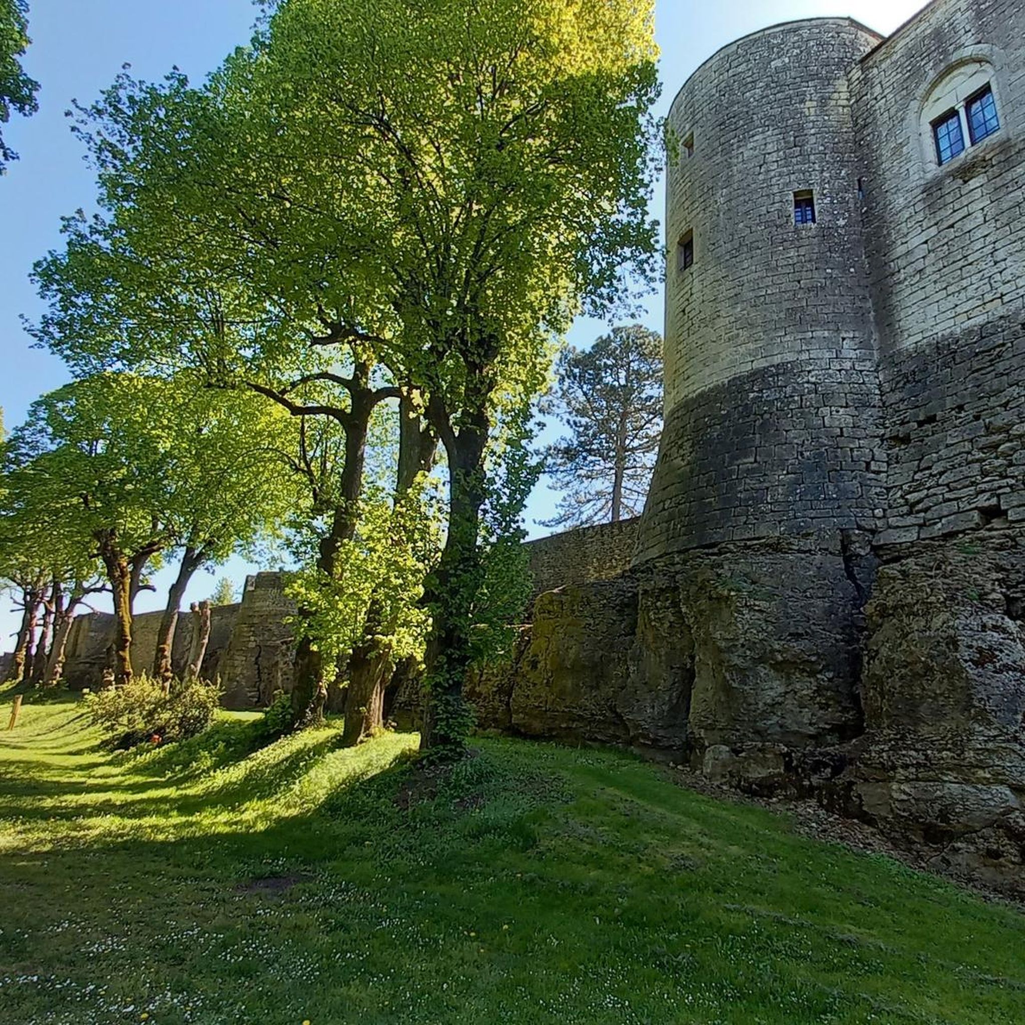
Stunning view of the Château de Chailly from this vantage point. Sometimes we are too close to something to appreciate its full beauty.
2
0
Frequently Asked Questions
How many running routes are available in Mont-Saint-Jean?
Mont-Saint-Jean offers a good selection of running routes, with over 35 tours available on komoot. These routes cater to various preferences, from moderate paths to more challenging trails.
Are there easy running routes suitable for beginners?
Yes, while most routes are classified as moderate, there are options suitable for beginners. The region features paths on mostly paved surfaces, ideal for an easier run. For example, the Running loop from Missery is a moderate 6.5 km route with minimal elevation gain, making it a good choice for those starting out.
What kind of terrain can I expect on the running trails?
The running trails around Mont-Saint-Jean traverse diverse landscapes, including forests, ponds, and rolling countryside. You'll find a mix of surfaces, from mostly paved sections to more natural paths within the Parc Naturel Régional and Géoparc Normandie-Maine.
Are there challenging running routes for experienced runners?
Yes, for experienced runners seeking a challenge, the region offers trails with significant elevation gain. The area is known for events like the 'Trail de Mont-Saint-Jean,' which features courses with notable positive elevation, indicating the presence of more demanding routes.
Can I find circular running routes in Mont-Saint-Jean?
Absolutely. Many of the running routes in Mont-Saint-Jean are circular, offering convenient starting and ending points. Examples include the popular View of Château de Chailly loop from Chailly-sur-Armançon and the Château de Mont-Saint-Jean loop from Thorey-sous-Charny.
What attractions or landmarks can I see while jogging?
While jogging, you can encounter various points of interest. Some routes offer views of historical sites like the Éguilly Castle. The region also features natural beauty, including ponds and forests, which are integral to the running experience. You might also pass by the Entrance to the Tunnel of the Burgundy Canal (Pouilly-en-Auxois) or the Maison du Canal de Bourgogne.
Is there parking available near the running trails?
Yes, many running routes in the Mont-Saint-Jean area have convenient parking options nearby, especially those starting from villages or popular trailheads. It's always a good idea to check the specific route details on komoot for parking information.
What do other runners say about the trails in Mont-Saint-Jean?
The running routes in Mont-Saint-Jean are highly rated by the komoot community, with an average score of 4.5 stars from over 4 reviews. More than 130 runners have used komoot to explore the varied terrain, often praising the diverse landscapes and well-maintained paths.
Are there any routes with significant elevation gain?
Yes, some routes in the Mont-Saint-Jean area feature significant elevation gain, particularly those within the Parc Naturel Régional. For example, the Château de Mont-Saint-Jean loop from Fleurey includes moderate elevation changes, making it a good option for those looking for a more strenuous workout.
What is the best time of year to go running in Mont-Saint-Jean?
The diverse landscapes of Mont-Saint-Jean make it suitable for running throughout much of the year. Spring and autumn offer pleasant temperatures and beautiful scenery, while summer can be enjoyable, especially in forested areas. Winter running is also possible, though conditions may vary.
Can I find routes that pass by water features like ponds?
Yes, the region's natural features include several ponds. You can find scenic loops around bodies of water such as the Grand étang de Sillé-le-Guillaume and the New Pond – Jouteau Pond loop, offering picturesque views during your run.
Are the running routes in Mont-Saint-Jean dog-friendly?
Many natural trails and paths in the Parc Naturel Régional and Géoparc Normandie-Maine are generally dog-friendly, especially if your dog is on a leash. However, it's always recommended to check local regulations and specific route details for any restrictions before heading out with your canine companion.
Are there family-friendly running trails?
Yes, Mont-Saint-Jean offers routes suitable for families. The easier paths, particularly those on mostly paved surfaces or with minimal elevation, are great for a family outing. Look for shorter, less challenging loops that allow everyone to enjoy the French countryside.
Most popular attractions around Mont-Saint-Jean

Get inspired with the komoot mobile app


Explore more
Browse the best Running Trails & Routes in other regions.
