The best mountain hikes around Hermillon
5.0
(1)
10
hikers
3
hikes
Mountaineering routes around Hermillon are set within the Savoie department of the Auvergne-Rhône-Alpes region, offering a diverse range of challenging landscapes. The area is characterized by significant elevation changes, with terrain ranging from 486 meters to 2,768 meters. Hermillon provides access to the Maurienne valley, known for its rugged beauty, and is within proximity to the Vanoise National Park, Ecrins National Park, and the Aiguilles d'Arves mountain group. This mountainous environment features alpine peaks and mountain rivers, providing varied terrain…
Last updated: May 25, 2026
5.0
(1)
3
hikers
Hard mountaineering route. Very good fitness required. Mostly accessible paths. Sure-footedness required.
5
hikers
12.2km
04:19
720m
720m
Moderate mountaineering route. Good fitness required. Easily-accessible paths. Suitable for all skill levels.

Sign up for free
1
hikers
9.01km
03:11
500m
500m
Moderate mountaineering route. Good fitness required. Easily-accessible paths. Suitable for all skill levels.
1
hikers
2.82km
00:56
140m
130m
Easy mountaineering route. Great for any fitness level. Easily-accessible paths. Suitable for all skill levels.
Our route recommendations are based on thousands of hikes, rides, and runs completed by other people on komoot.
Start today with a free account
Your next adventure awaits.
Login or Signup

Tips from the Community

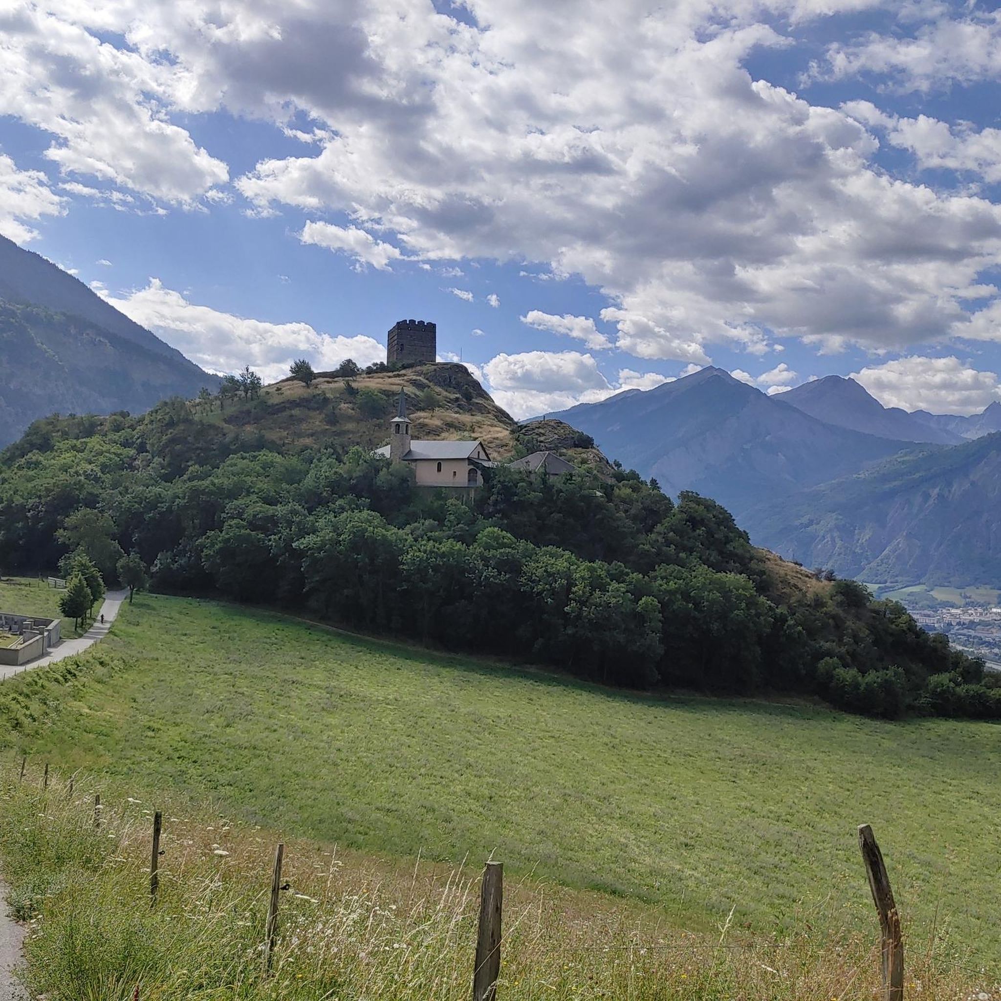
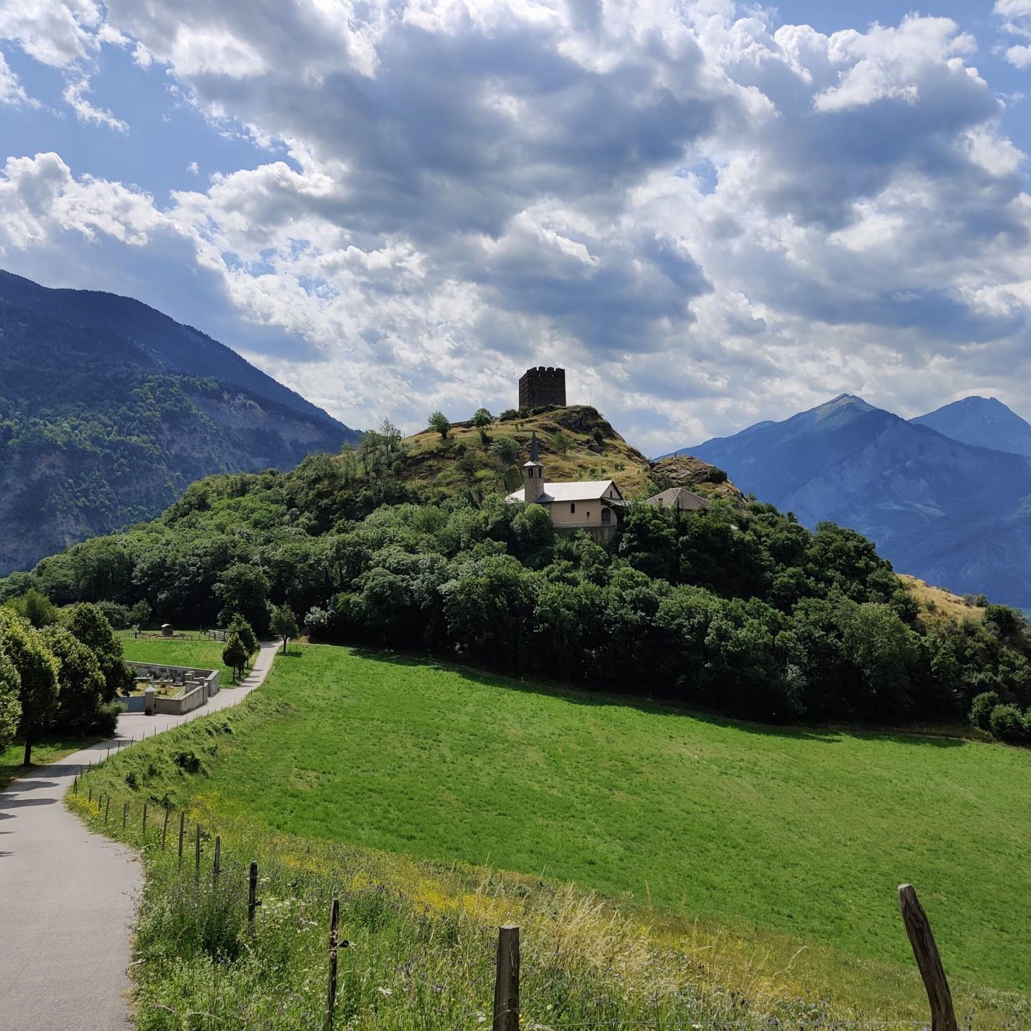
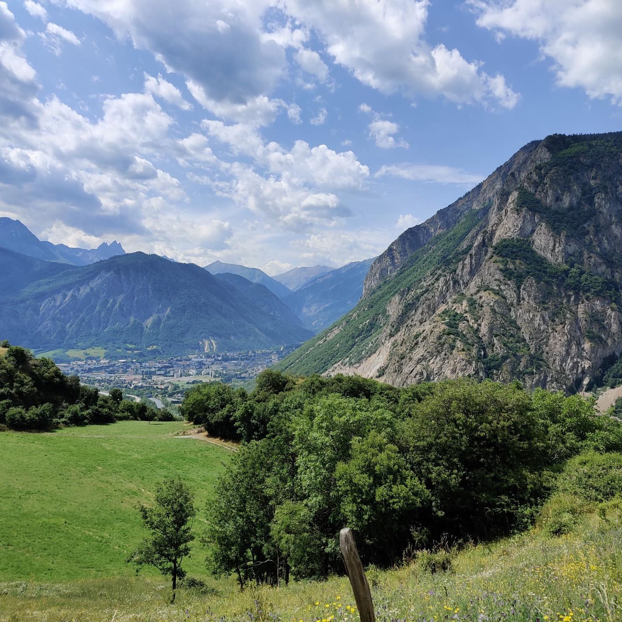
The climb is easy and worth the effort. Magnificent view. There's a picnic table...
0
0

Cross-country ski trail in winter, in summer this place turns into easy forest trails for safe bike rides. Mainly in the shade, pleasant in summer during heatwaves ;)
0
0

The summit of La Toussuire, an hors catégorie climb famous as the climb on which Chris Froome attacked Bradley Wiggins on stage 11 of the 2012 Tour de France.
2
0

Small hamlet near the Col de la Fenetre and the valley of encumbers. Accessible by car in summer.
0
0
Small, fairly flat dome to the NW of Lachat with a panoramic view.
0
0
Frequently Asked Questions
What types of mountaineering routes can I find around Hermillon?
Hermillon offers a diverse range of mountaineering routes, from easy paths to challenging ascents. You'll find routes suitable for various skill levels, characterized by significant elevation changes, alpine peaks, and mountain rivers. The area provides access to the rugged beauty of the Maurienne valley and is close to major natural attractions like the Vanoise and Ecrins National Parks.
Are there any easy mountaineering routes for beginners or families?
Yes, there is an easy mountaineering route available. The Les 3 Croix loop from Fontcouverte-la-Toussuire is a shorter, less strenuous option, covering about 2.8 miles (4.5 km) with an elevation gain of around 135 meters, typically taking about an hour to complete. This route is a good choice for those looking for a more relaxed experience.
Which routes offer the most challenging mountaineering experience?
For experienced mountaineers seeking a challenge, the Petit Dôme Above Lachat – Lachat Hamlet loop from Saint-Martin-de-Belleville is a difficult route. It spans 8.2 miles (13.1 km) and involves a significant elevation gain of over 900 meters, typically requiring around 5 hours to complete. This route provides a demanding alpine experience.
What are some moderate mountaineering options in the Hermillon area?
If you're looking for a moderate challenge, consider the La Grande Verdette – Pointe de l'Ouillon loop from Poste de Secours. This 7.6-mile (12.2 km) path features varied terrain and an ascent of over 700 meters. Another moderate option is the La Toussuire Summit – Chaput Pass loop from Villarembert, which is 5.6 miles (9.0 km) long with an elevation gain of over 500 meters, usually taking about 3 hours and 11 minutes.
What kind of natural features and viewpoints can I expect on these routes?
The mountaineering routes around Hermillon offer stunning alpine landscapes, including panoramic views of the Maurienne valley and surrounding peaks. You can expect to encounter mountain rivers and rugged terrain. Some routes lead to summits like La Toussuire Summit, offering expansive vistas. The broader region is known for its dramatic scenery, including the Aiguilles d'Arves.
Are there any notable landmarks or attractions near the mountaineering trails?
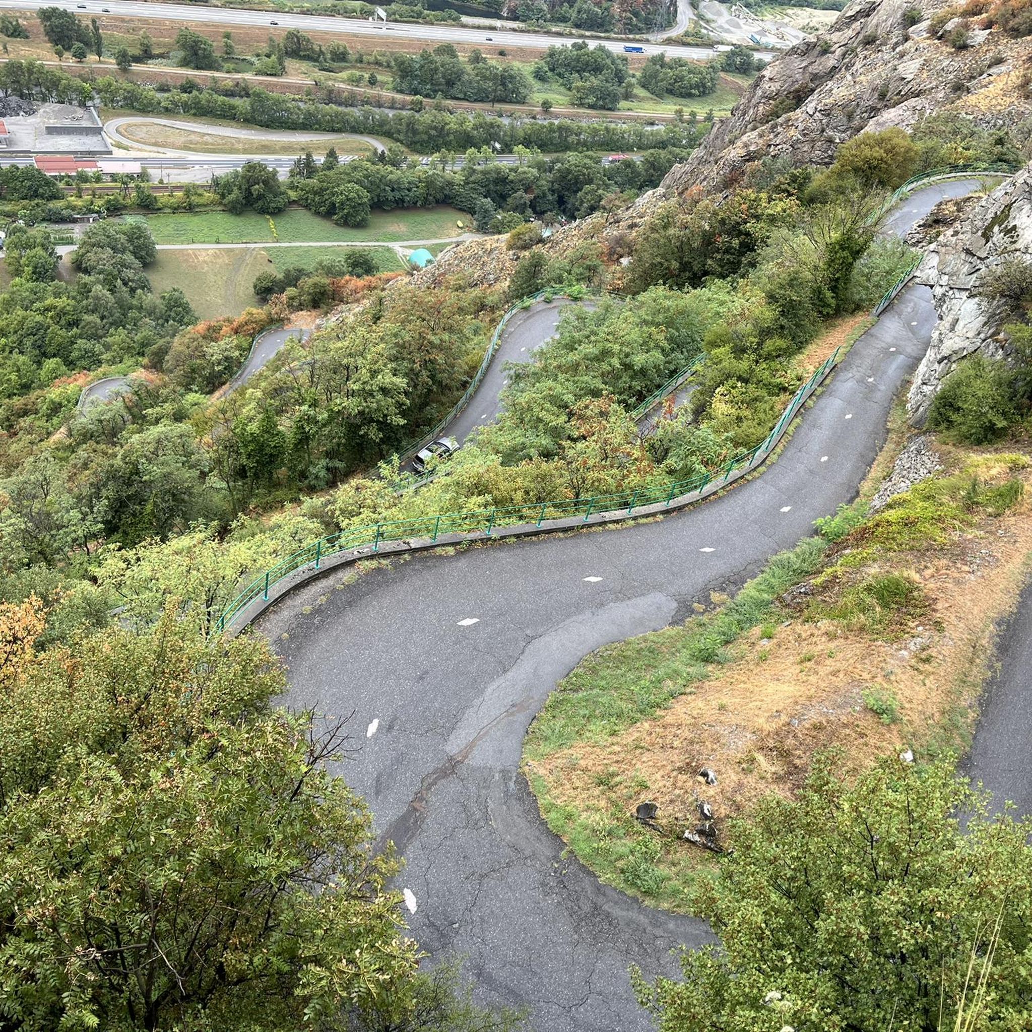
Beyond the trails themselves, the Hermillon area is rich with natural and cultural landmarks. You can find impressive mountain passes like Col du Télégraphe and Col du Chaussy, which are popular with cyclists but also offer scenic views. The unique Montvernier Hairpins are also nearby. For natural beauty, the Lac du Lou is a beautiful lake worth visiting.
What do other mountaineers say about the routes in Hermillon?
The mountaineering routes in Hermillon are highly regarded by the komoot community, holding an average rating of 5.0 stars. Users appreciate the varied terrain and the opportunities for challenging ascents within the beautiful alpine environment.
What is the best time of year for mountaineering in Hermillon?
Given Hermillon's mountainous environment with elevations up to 2,768 meters, the best time for mountaineering is typically during the warmer months, from late spring through early autumn. This period generally offers more stable weather conditions and less snow cover at higher altitudes, making routes more accessible and safer. Always check local weather forecasts and trail conditions before heading out.
Is Hermillon a good destination for circular mountaineering routes?
Yes, Hermillon features several excellent circular mountaineering routes. Examples include the difficult Petit Dôme Above Lachat – Lachat Hamlet loop, the moderate La Grande Verdette – Pointe de l'Ouillon loop, and the easy Les 3 Croix loop. These loops allow you to start and end at the same point, offering convenient exploration of the region's diverse landscapes.
Are there options for parking near the trailheads in Hermillon?
While specific parking details for each trailhead are not provided, Hermillon is a village within a region popular for outdoor activities. It is generally advisable to look for designated parking areas in or near the starting points of routes, such as Saint-Martin-de-Belleville, Poste de Secours, Villarembert, or Fontcouverte-la-Toussuire, which are mentioned as starting locations for various tours.
What is the typical duration for mountaineering routes in this area?
The duration of mountaineering routes around Hermillon varies significantly based on difficulty and length. Easy routes, like the Les 3 Croix loop, can take around an hour. Moderate routes, such as the La Toussuire Summit – Chaput Pass loop, typically require about 3 hours and 11 minutes. More difficult and longer routes, like the Petit Dôme Above Lachat – Lachat Hamlet loop, can take over 5 hours to complete.
Most popular routes around Hermillon
Most popular attractions around Hermillon

Get inspired with the komoot mobile app


Explore more
Browse the best Mountain Hikes & Routes in other regions.
