The best mountain hikes around Montaimont
4.8
(5)
14
hikers
2
hikes
Mountaineering around Montaimont, situated in the Maurienne Valley of the French Alps, offers diverse terrain for high-altitude exploration. The village lies at 1300 meters, with the commune extending up to 2870 meters, characterized by a dramatic natural cirque. Notable peaks include Mont du Fût (2824 meters) and Crêt Lognan (2770 meters), providing expansive panoramic views. The region features rugged peaks, serene alpine environments, and serves as a gateway to the Vanoise National Park.
Best mountaineering routes around Montaimont
- The most…
Last updated: June 22, 2026
5.0
(1)
7
hikers
14.4km
06:23
1,180m
1,180m
Hard mountaineering route. Very good fitness required. Mostly accessible paths. Sure-footedness required.
4.3
(3)
4
hikers
10.8km
03:58
620m
620m
Moderate mountaineering route. Good fitness required. Mostly accessible paths. Sure-footedness required.

Sign up for free
5.0
(1)
3
hikers
Hard mountaineering route. Very good fitness required. Mostly accessible paths. Sure-footedness required.
Our route recommendations are based on thousands of hikes, rides, and runs completed by other people on komoot.
Start today with a free account
Your next adventure awaits.
Login or Signup

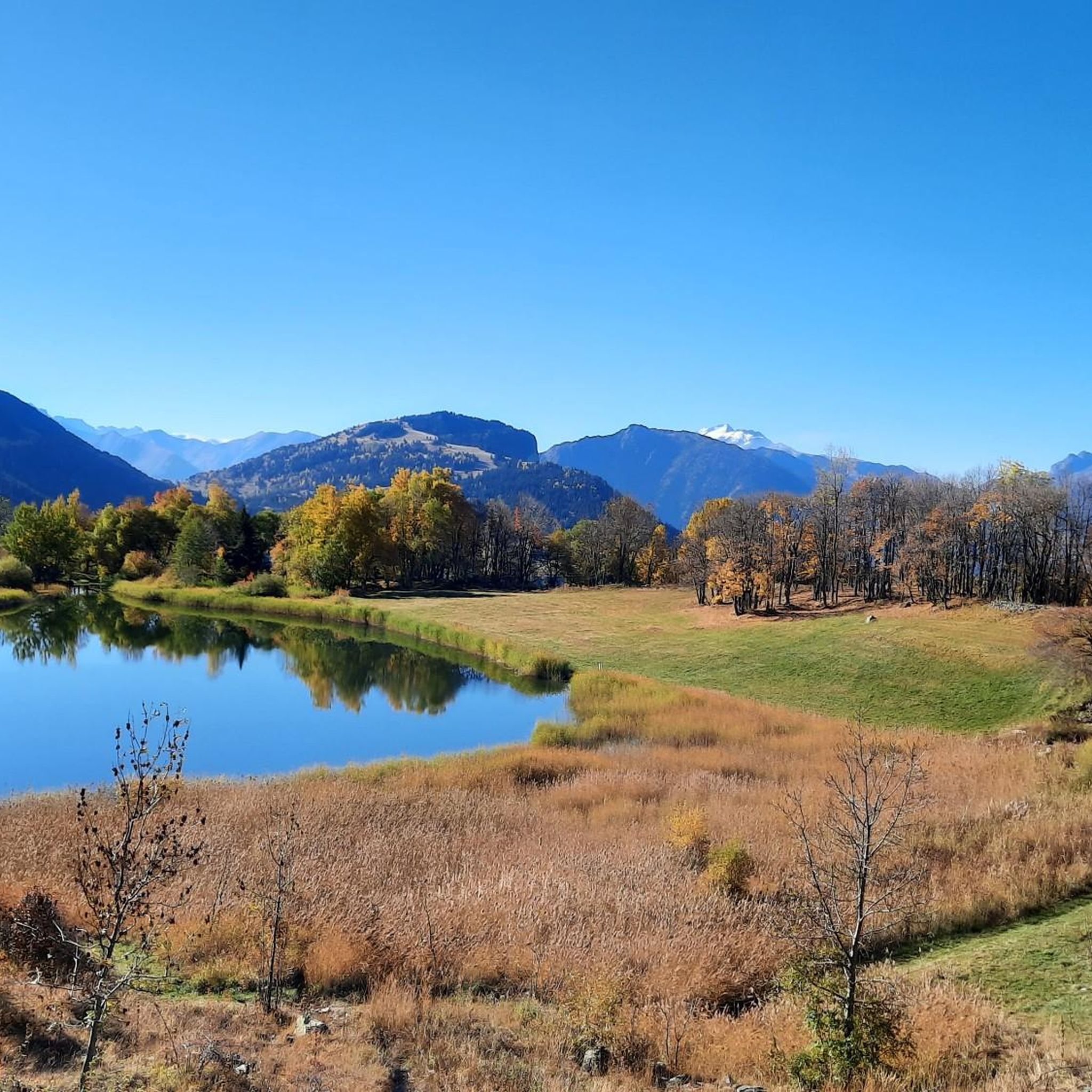
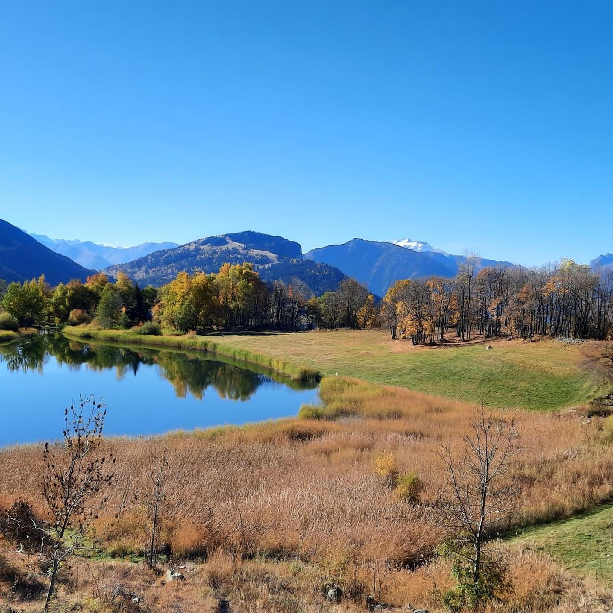
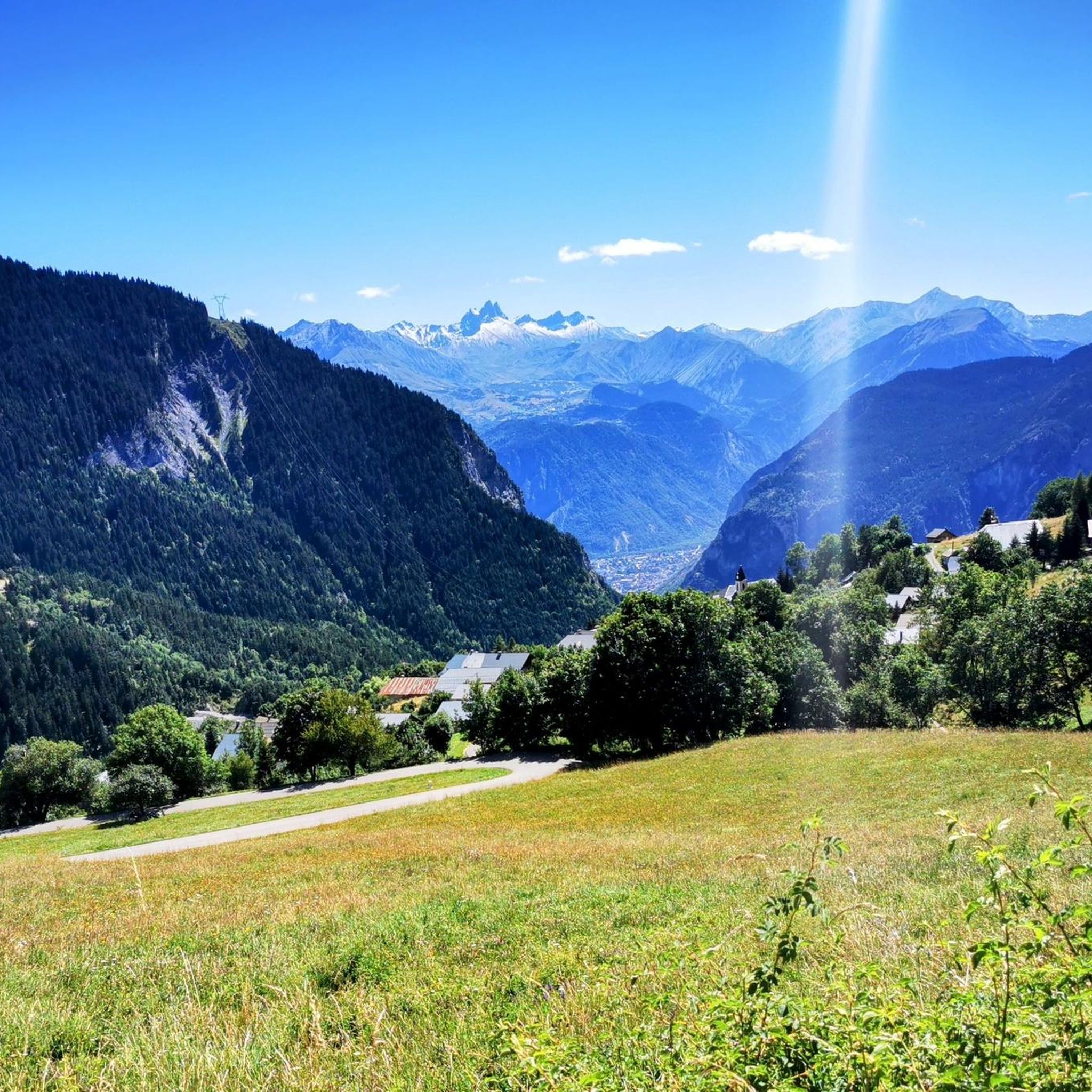
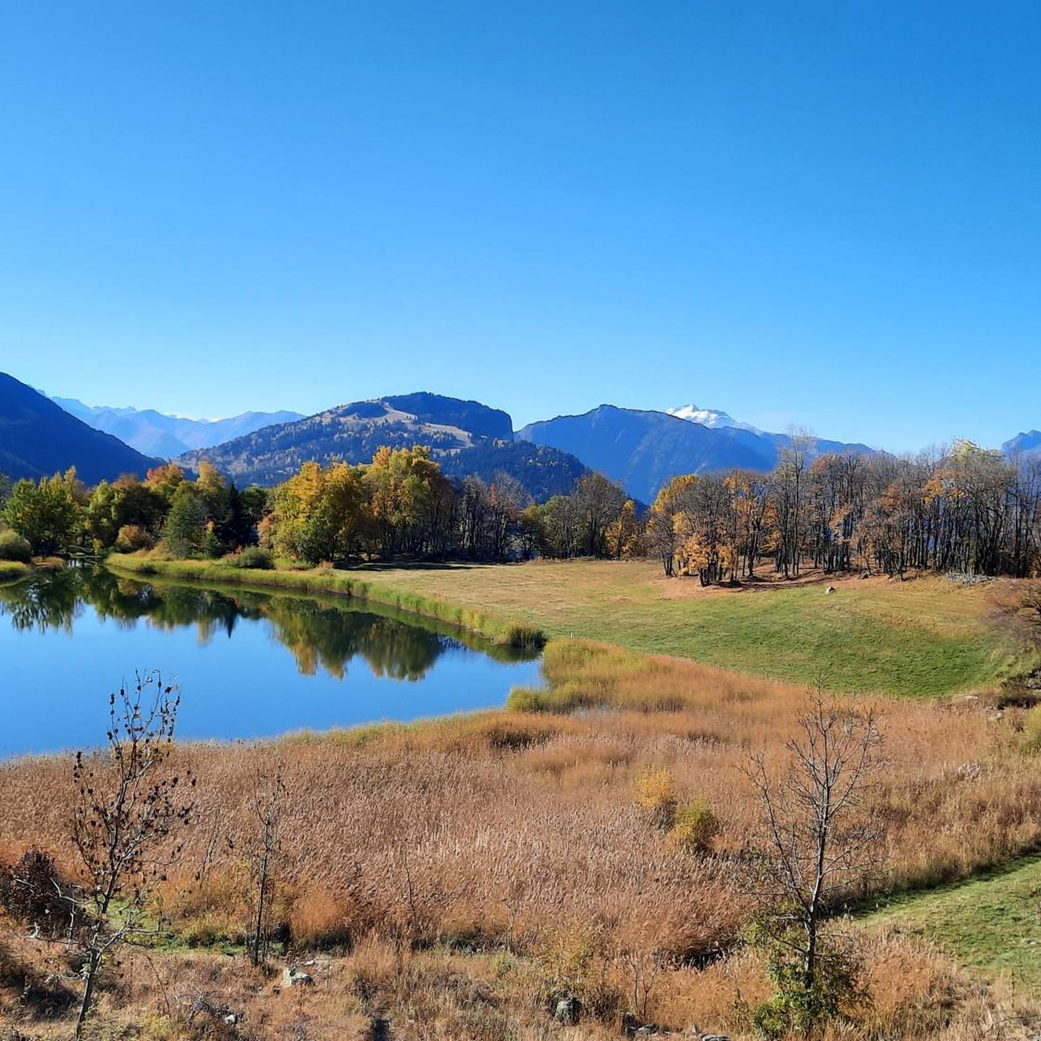

Other adventures around Montaimont

Tips from the Community

Cross-country ski trail in winter, in summer this place turns into easy forest trails for safe bike rides. Mainly in the shade, pleasant in summer during heatwaves ;)
0
0

Very charming lake that you will like no matter the weather 👀👍🏾
0
0

Incredible views of the mountains and the lake from the ridge just below the top of the Cheval Noir.
0
0
At 2,832 meters, this summit, still little known, offers a 360° panorama at the top. Incredible views.
0
0
At 2,139 meters, this lake is located near a rocky outcrop. It turns blue-black after the avalanches melt.
0
0
A small lake at 2,137 meters. The color of the water is amazing!
0
0

superb landscapes, well marked walks
0
1

Bring walking sticks. Plenty of water. Good shoes.
0
0
Frequently Asked Questions
What kind of terrain can I expect on mountaineering routes around Montaimont?
Montaimont, nestled in the Maurienne Valley, offers a diverse range of high-altitude terrain. You'll find rugged peaks, serene alpine environments, and dramatic natural cirques. The commune extends from 1000m up to 2870m, with notable peaks like Mont du Fût (2824 meters) and Crêt Lognan (2770 meters) providing expansive panoramic views. Routes can range from challenging high-altitude excursions to more moderate mountain paths.
Are there any circular mountaineering routes in the Montaimont area?
Yes, Montaimont offers several excellent circular routes for mountaineering. For a challenging high-alpine experience with lake views, consider the White Lake – Blue Lake loop from Saint-François-Longchamp 1650. If you prefer extensive valley vistas, the moderate Col du Galot – View of the Valley loop from Parking Cheval Blanc is a great option. Another difficult loop that takes you through high-altitude terrain and past alpine hamlets is the Petit Dôme Above Lachat – Lachat Hamlet loop from Saint-Martin-de-Belleville.
What are some notable landmarks or viewpoints I can see while mountaineering in Montaimont?
The Montaimont region is rich with stunning natural features and panoramic viewpoints. From the higher elevations, you can often enjoy vistas of Belledonne, Cheval Noir, the Col de la Madeleine, the Maurienne Massif, and the distant Aiguilles d'Arves. Specific highlights in the broader area include the Col du Chaussy and the famous Col de la Madeleine, both offering spectacular mountain scenery.
What is the best time of year for mountaineering in Montaimont?
While the guide focuses on mountaineering, Montaimont is a year-round destination for outdoor activities. For mountaineering, the warmer months typically offer the most accessible conditions, avoiding heavy snow. However, the region transforms in winter, becoming a haven for snow sports like snowshoeing and cross-country skiing, with dedicated trails leading to scenic spots. Always check local weather and trail conditions before heading out, especially at higher altitudes.
Are there any family-friendly mountaineering options or easier trails around Montaimont?
Montaimont offers trails catering to various skill levels. While some routes are difficult, there are also moderate paths suitable for families or those seeking a less strenuous experience. The region provides opportunities for easy strolls in the pastures as well as more challenging mountain excursions. For a moderate mountaineering experience with extensive valley views, consider the Col du Galot – View of the Valley loop from Parking Cheval Blanc.
What do other mountaineers say about the routes in Montaimont?
The mountaineering routes around Montaimont are highly regarded by the komoot community, with an average score of 4.8 stars from several reviews. Users often praise the varied terrain, from rugged peaks to serene alpine environments, and the dramatic natural cirques that define the region. Many appreciate the extensive panoramic views available from the trails.
How difficult are the mountaineering routes in Montaimont?
The mountaineering routes around Montaimont offer a range of difficulties. You'll find challenging high-altitude excursions, such as the White Lake – Blue Lake loop from Saint-François-Longchamp 1650 and the Petit Dôme Above Lachat – Lachat Hamlet loop from Saint-Martin-de-Belleville, both rated as difficult. There are also moderate options available, like the Col du Galot – View of the Valley loop from Parking Cheval Blanc, which provides extensive valley vistas.
Are there any specific permits or requirements for mountaineering in Montaimont?
The provided information does not specify any particular permits required for general mountaineering in the immediate Montaimont area. However, Montaimont serves as a gateway to the larger Vanoise National Park, which may have specific regulations or permits for certain activities or zones. It's always advisable to check with local tourism offices or park authorities for the latest requirements before venturing into protected areas.
What are the typical durations for mountaineering routes in Montaimont?
The duration of mountaineering routes in Montaimont varies depending on the distance and difficulty. For example, the difficult White Lake – Blue Lake loop, covering 14.1 km, typically takes about 6 hours and 17 minutes. A moderate route like the Col du Galot – View of the Valley loop, at 10.8 km, can be completed in approximately 3 hours and 58 minutes. The difficult Petit Dôme Above Lachat – Lachat Hamlet loop, which is 13.1 km, usually takes around 5 hours and 2 minutes.
Is Montaimont accessible by public transport for reaching trailheads?
Montaimont is situated in the Maurienne Valley, a region known for its outdoor activities. While specific public transport schedules to individual trailheads are not detailed, the village itself is accessible. For detailed information on local bus schedules and transport options to reach various trailheads, it's best to consult local tourism resources or public transport providers in the Savoie department.
Are there places to eat or stay near the mountaineering routes in Montaimont?
Montaimont is a charming mountain village, and the broader Maurienne Valley offers amenities for visitors. While specific cafes or pubs directly at trailheads are not listed, the village and surrounding areas would typically provide options for accommodation, dining, and supplies. For more detailed information on local services, you might find resources on the local tourism website for Montaimont.
Can I bring my dog on the mountaineering trails in Montaimont?
The general Montaimont area, with its extensive network of trails and natural landscapes, is often welcoming to dogs. However, specific regulations can vary, especially if trails enter protected areas like the Vanoise National Park, where dogs might be restricted or required to be on a leash. It's always recommended to check local signage or contact the regional tourism office for specific rules regarding dogs on trails you plan to explore.
What are the highest peaks I can reach or see from Montaimont?
Montaimont is nestled within a dramatic natural cirque, offering views of significant peaks. The commune itself spans up to 2870 meters, with prominent peaks like Mont du Fût (2824 meters) and Crêt Lognan (2770 meters) dominating the landscape. From various points, you can also catch glimpses of the distant Aiguilles d'Arves, which are about 28km away.
Most popular routes around Montaimont
Most popular attractions around Montaimont

Get inspired with the komoot mobile app


Explore more
Browse the best Mountain Hikes & Routes in other regions.
