The best mountain hikes around Villarembert
5.0
(4)
22
hikers
5
hikes
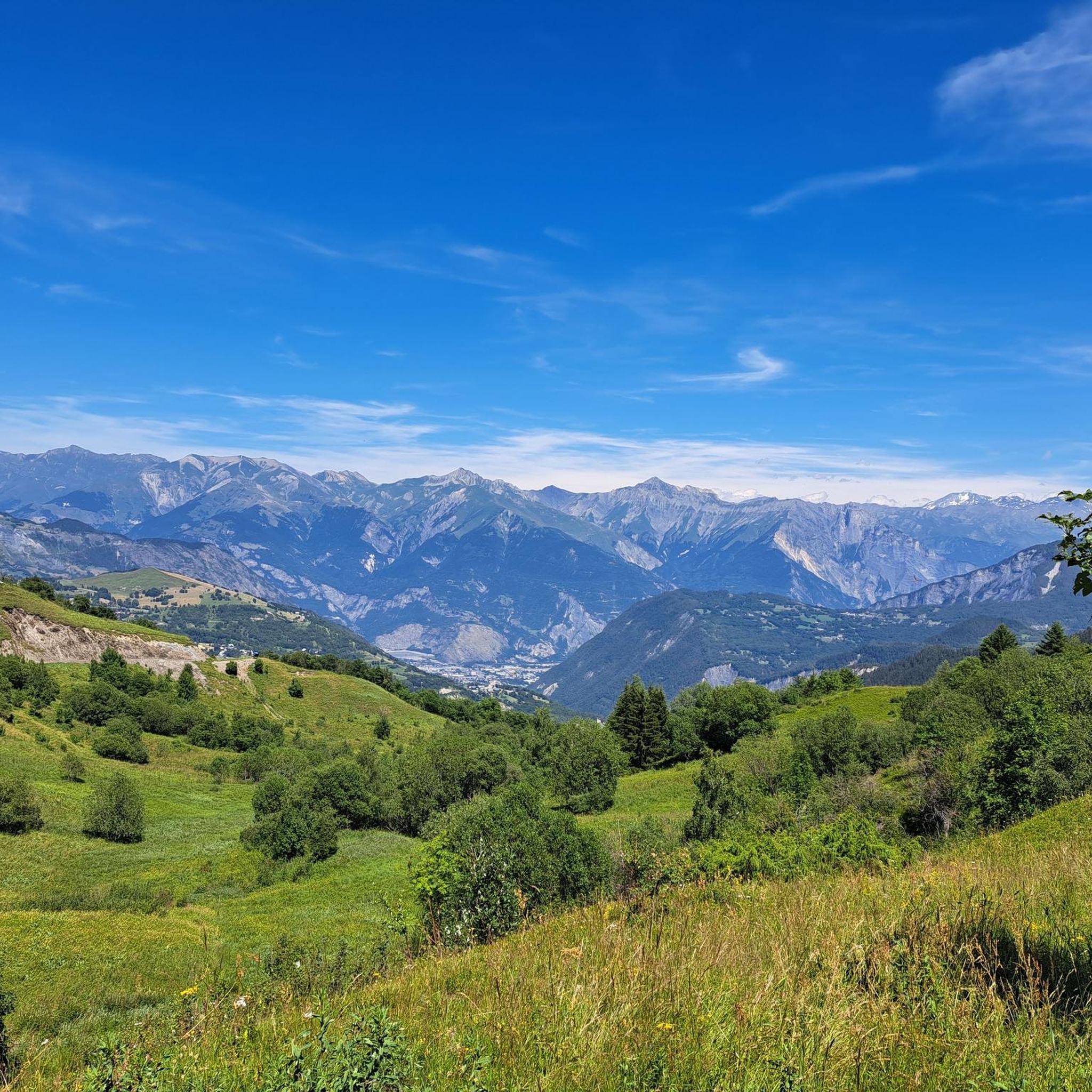
Mountaineering routes around Villarembert, located in the Auvergne-Rhône-Alpes region of Savoie, offer access to a diverse alpine environment. The area is characterized by majestic peaks, including views of the Aiguilles d'Arves, and challenging mountain passes such as Col de la Croix de Fer, Col du Glandon, and Col d'Arves. These features create a landscape ideal for demanding ascents and extensive mountain trails. The region provides a range of terrain from high alpine passes to lush valleys, catering to various mountaineering…
Last updated: July 6, 2026
5.0
(2)
5
hikers
8.91km
04:21
590m
590m
Hard mountaineering route. Good fitness required. Sure-footedness, sturdy shoes and alpine experience required.
5.0
(1)
13
hikers
Hard mountaineering route. Very good fitness required. Mostly accessible paths. Sure-footedness required.

Sign up for free
5.0
(1)
2
hikers
8.33km
03:35
610m
610m
Moderate mountaineering route. Good fitness required. Mostly accessible paths. Sure-footedness required.
1
hikers
9.01km
03:11
500m
500m
Moderate mountaineering route. Good fitness required. Easily-accessible paths. Suitable for all skill levels.
1
hikers
2.82km
00:56
140m
130m
Easy mountaineering route. Great for any fitness level. Easily-accessible paths. Suitable for all skill levels.
Our route recommendations are based on thousands of hikes, rides, and runs completed by other people on komoot.
Start today with a free account
Your next adventure awaits.
Login or Signup
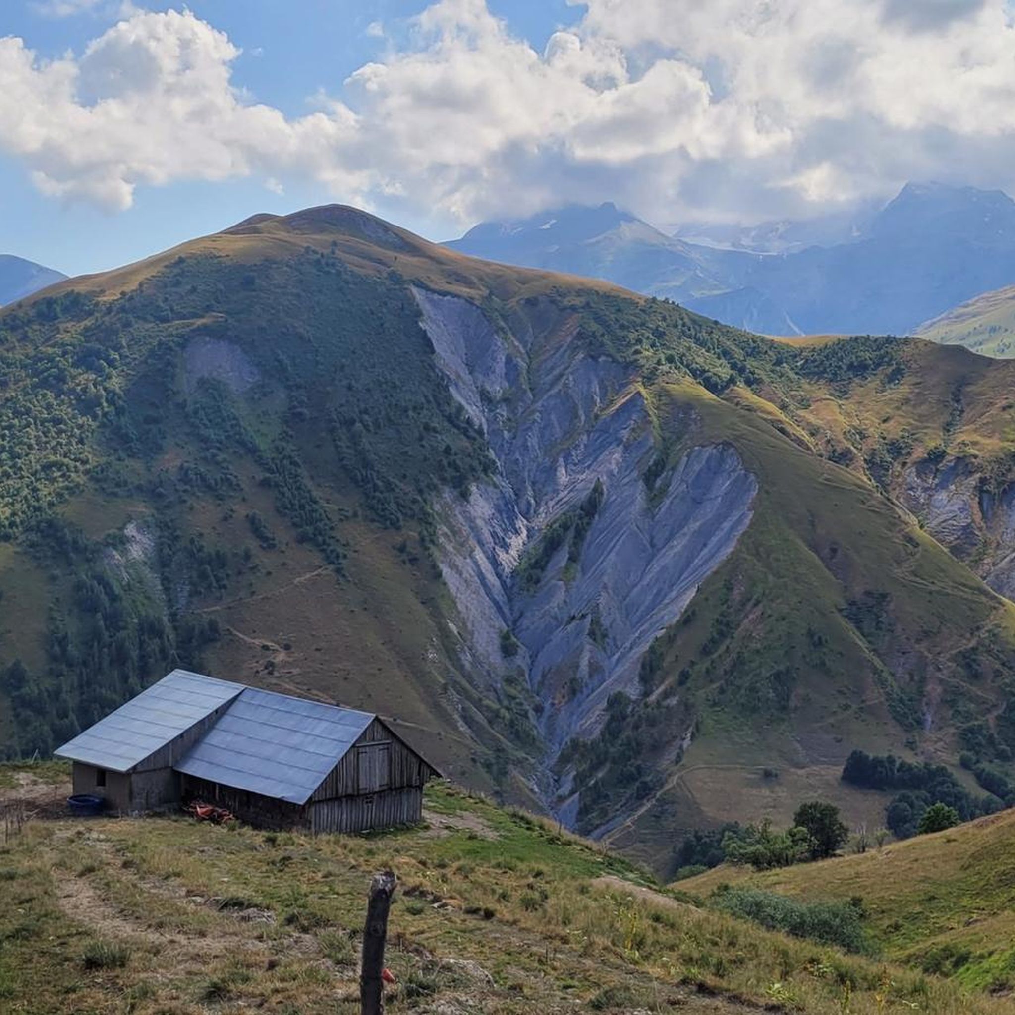
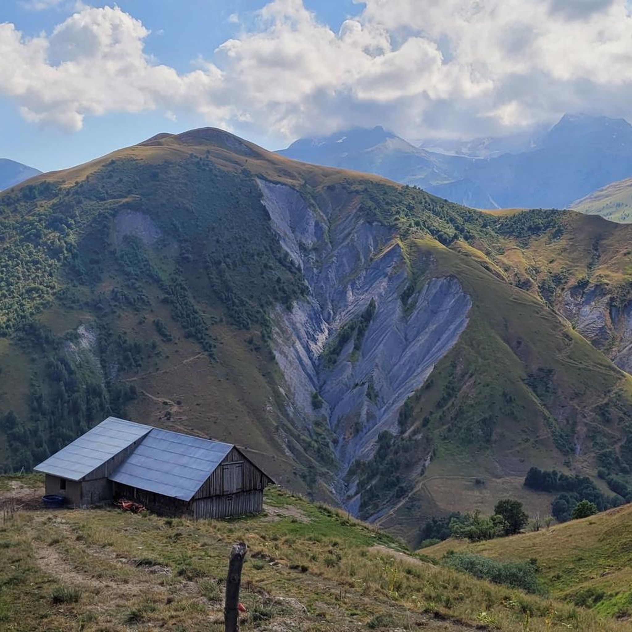
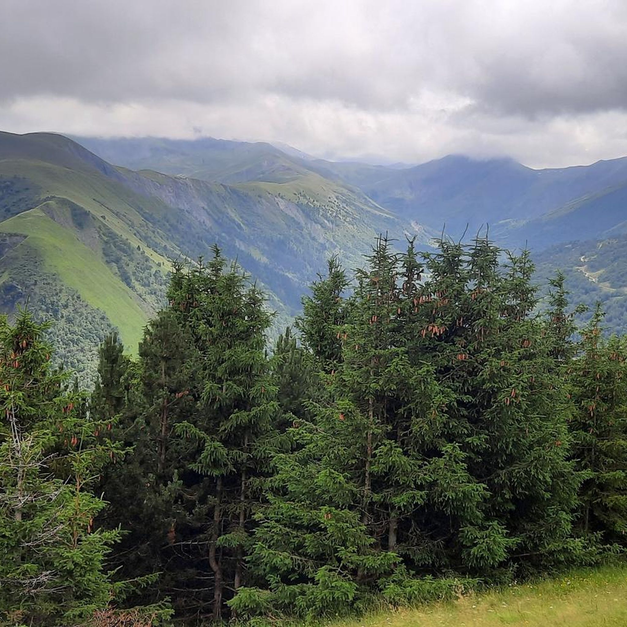
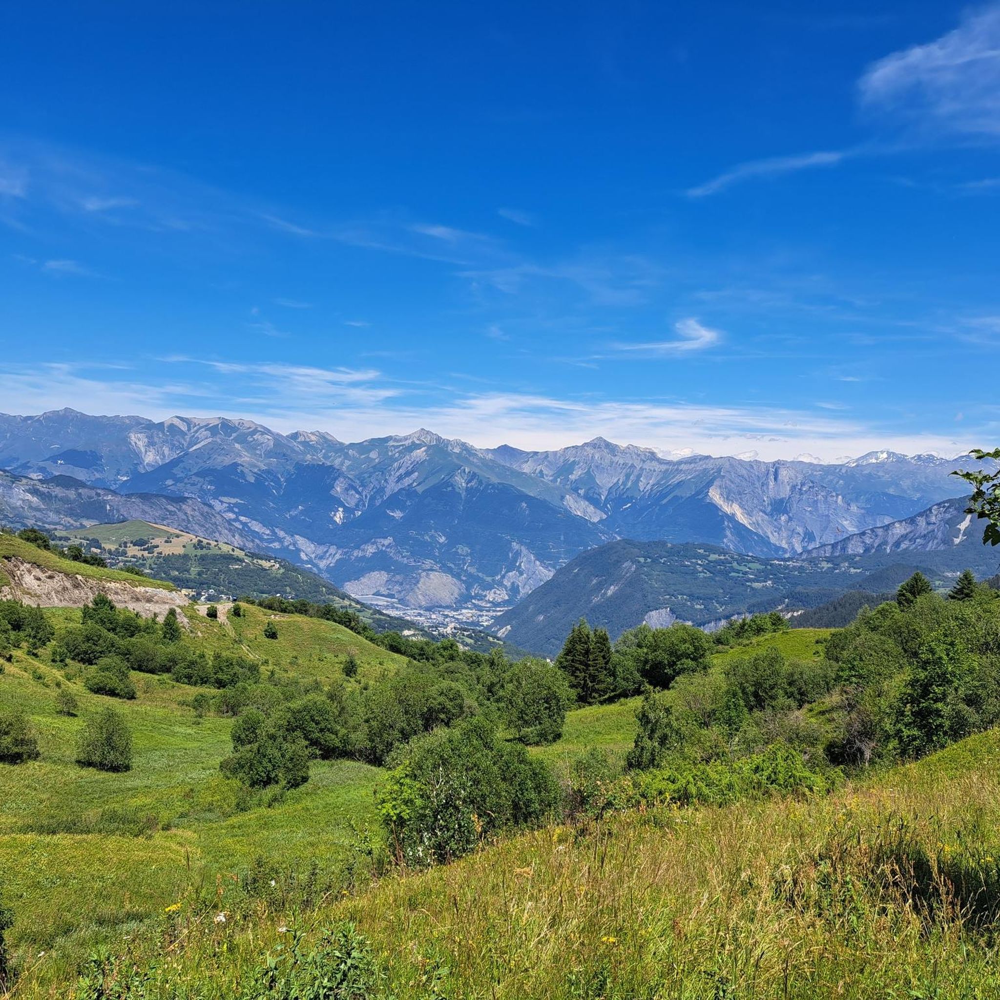

Tips from the Community

The road is long but it's worth it.
0
0

The descent from the Col du Glandon towards the north offers a striking view towards the valley, the Col de la Madeleine and the Mont Blanc massif.
0
0
The climb is easy and worth the effort. Magnificent view. There's a picnic table...
0
0

At the pass, we find engraved markers indicating the border between France and the House of Savoy
0
0

The Col d’Arves, perched at an altitude of 2,100 metres, offers a breathtaking panorama of the majestic Aiguilles d'Arves and the surrounding Alpine peaks. This Alpine pass, accessible by hiking trails, is a privileged place for mountain lovers in search of tranquility and grandiose landscapes. The alpine meadows and green valleys that stretch as far as the eye can see contrast with the snow-capped peaks.
1
0


From here you can enjoy the view of Mont Blanc and be happy that you made it this far.
0
0

Frequently Asked Questions
How many mountaineering routes are available around Villarembert?
There are 10 mountaineering routes around Villarembert, offering a diverse alpine environment for various skill levels.
What are the different difficulty levels for mountaineering routes in Villarembert?
Villarembert offers a range of mountaineering experiences. You'll find 1 easy route, 8 moderate routes, and 1 difficult route, ensuring options for both those new to mountaineering and seasoned adventurers.
Are there any circular mountaineering routes in Villarembert?
Yes, several routes are circular. For instance, you can explore the Col de la Croix de Fer (Iron Cross Pass) loop from Col de la Croix-de-Fer, or the Col de la Croix de Fer (Iron Cross Pass) loop from Saint-Jean-d'Arves. Another option is the Lac de la Croix loop from Col du Glandon, which takes you through high alpine landscapes.
What notable landmarks or natural features can I see along the mountaineering routes?
The region is rich in breathtaking sights. You'll encounter majestic peaks, including unmissable panoramas of the Aiguilles d'Arves from passes like the Col d'Arves. Other notable features include the challenging Col de la Croix de Fer and Col du Glandon. The Mollard Pass also offers impressive views of the Aiguilles d'Arves.
Are there any routes that lead to lakes or water features?
Yes, the Lac de la Croix loop from Col du Glandon is a challenging route that leads through high alpine landscapes to a tranquil lake. The region research also mentions the St. Sorlin Waterfalls and Lac des Gargouilles as natural wonders for nature immersion.
What is the average duration for mountaineering routes in Villarembert?
The duration of mountaineering routes varies depending on the specific trail and your pace. For example, the Col de la Croix de Fer (Iron Cross Pass) loop from Col de la Croix-de-Fer typically takes around 4 hours 30 minutes, while the Lac de la Croix loop from Col du Glandon is often completed in about 4 hours 18 minutes.
What do other mountaineers enjoy most about the routes in Villarembert?
The routes in Villarembert are highly rated by the komoot community, with an average score of 4.9 stars from over 10 reviews. Mountaineers often praise the majestic peaks, challenging mountain passes, and the diverse alpine environment that defines the area.
Are there any particularly challenging mountaineering routes for experienced climbers?
For those seeking a more demanding experience, the Lac de la Croix loop from Col du Glandon is classified as a difficult route, offering a significant challenge through high alpine landscapes.
What are some of the higher elevation routes or passes I can explore?
Villarembert provides access to several high-altitude passes. The Col de la Croix de Fer is a renowned and demanding ascent, and the Col du Glandon also leads to significant elevations. The Col d'Arves is highlighted for its unmissable panorama of the Aiguilles d'Arves.
Are there any amenities or places to relax near the mountaineering trails?
The nearby Le Corbier resort, part of Villarembert, is a pedestrian-friendly destination offering various amenities. After a day of mountaineering, you can find places to relax, including a heated outdoor swimming pool. The Chalet at Col du Glandon also provides a spot for a break.
What is the longest mountaineering route available in Villarembert?
The longest mountaineering route is the Col de la Croix de Fer (Iron Cross Pass) loop from Col de la Croix-de-Fer, covering 8.2 miles (13.2 km) with extensive views from the renowned mountain pass.
Are there any routes that offer views of the Aiguilles d'Arves?
Yes, the region around Villarembert is known for its stunning views of the Aiguilles d'Arves. The Col d'Arves is highlighted for its 'unmissable panorama' of these jagged peaks, and they are also visible from the Mollard Pass.
Most popular routes around Villarembert
Most popular attractions around Villarembert

Get inspired with the komoot mobile app


Explore more
Browse the best Mountain Hikes & Routes in other regions.
