The best mountain hikes around Contamine-Sur-Arve
4.9
(5)
39
hikers
3
hikes
Mountaineering routes around Contamine-Sur-Arve are situated in the Haute-Savoie department, offering access to the Mont Blanc massif and prominent peaks. The region is characterized by its majestic granite rock faces, diverse ecosystems, and deep forests. Notable summits like Le Môle and Signal des Voirons provide extensive views of the Alps, including Mont Blanc. This area features varied terrain, from forests and peat bogs to high-alpine environments and glaciers, making it a significant destination for mountain sports.
Best mountaineering routes around…
Last updated: July 6, 2026
4.8
(4)
29
hikers
8.59km
04:12
670m
670m
Hard mountaineering route. Good fitness required. Sure-footedness, sturdy shoes and alpine experience required.
5.0
(1)
8
hikers
16.6km
07:30
1,340m
1,340m
Hard mountaineering route. Very good fitness required. Sure-footedness, sturdy shoes and alpine experience required.

Sign up for free
2
hikers
10.0km
03:16
440m
440m
Moderate mountaineering route. Good fitness required. Mostly accessible paths. Sure-footedness required.
Our route recommendations are based on thousands of hikes, rides, and runs completed by other people on komoot.
Start today with a free account
Your next adventure awaits.
Login or Signup

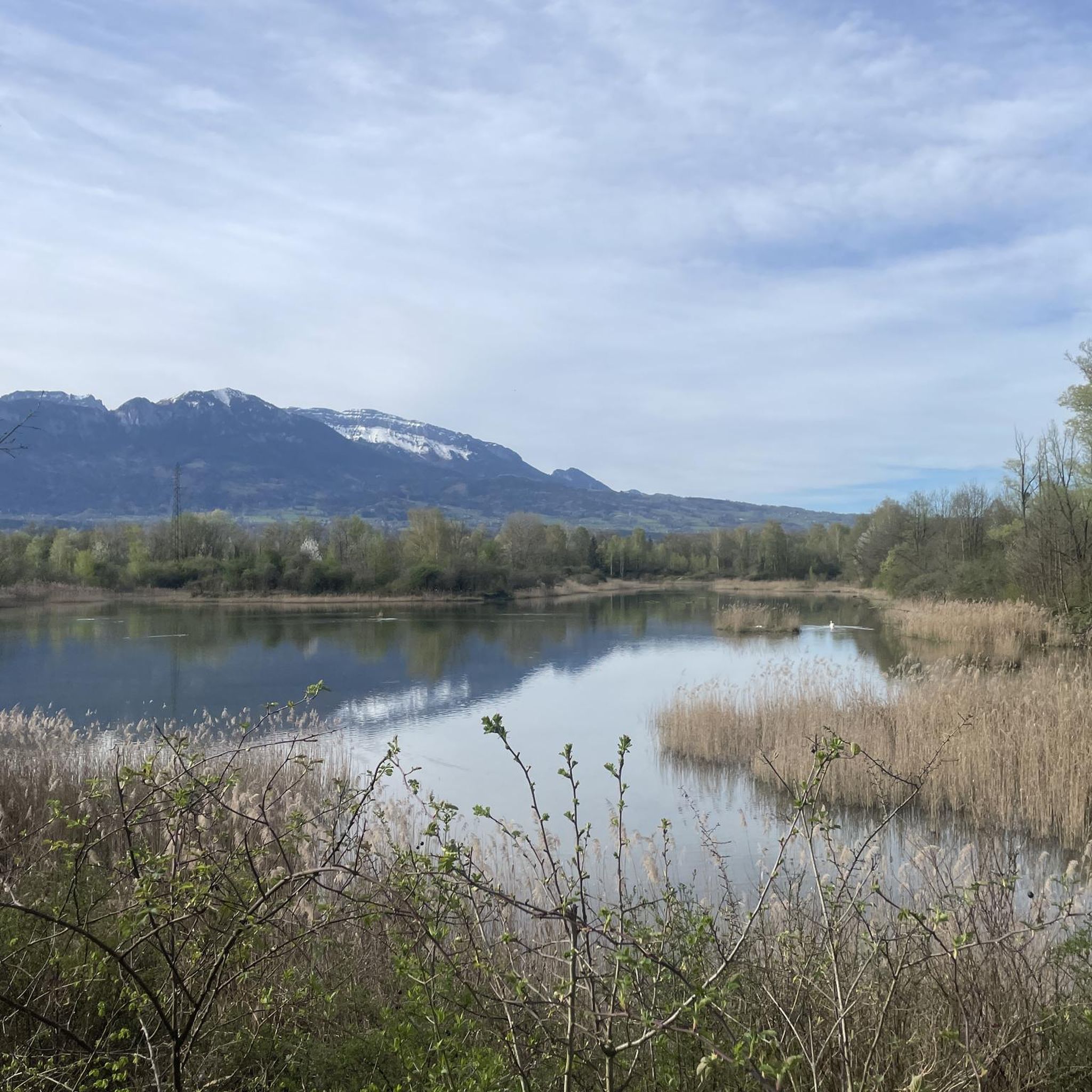
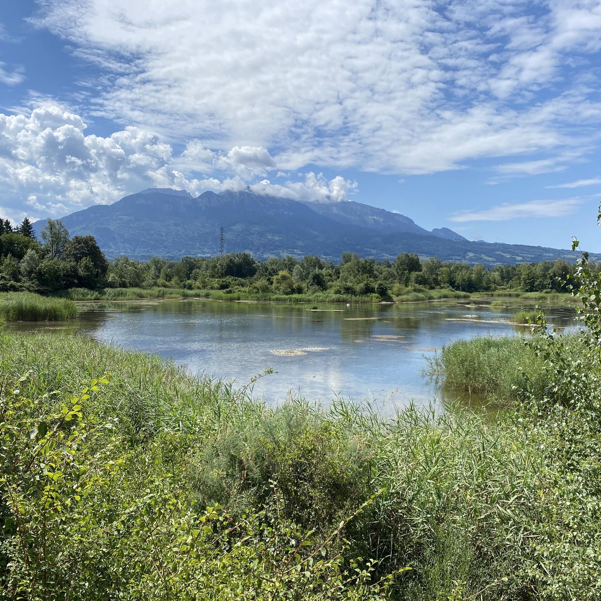
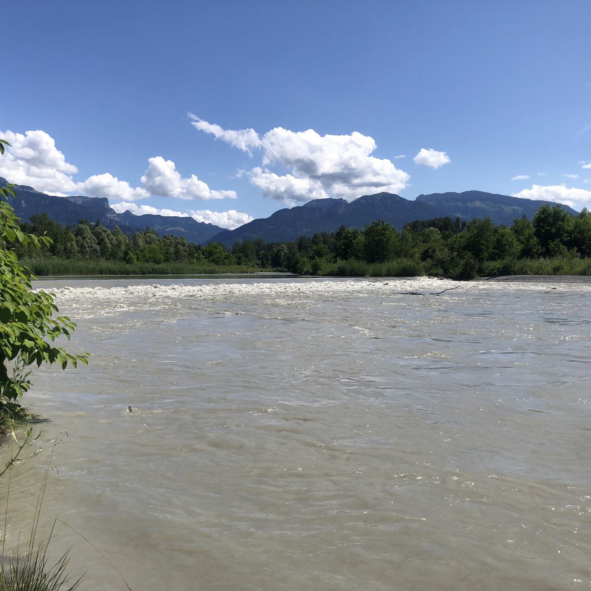

Tips from the Community

360° view of Mont-Blanc, Dents du Midi, Swiss Alps, the Jura, the Salève, Lake Geneva etc... Absolutely beautiful and with today's cloudless sky it was magnificent.
0
0

Very nice hike. It was quite crowded today. Contrary to what’s written in the description, I didn’t see any particularly risky passages
0
0


Intersection point Les Gallinons Altitude 710m
0
0


The Pointe de Brantaz offers a magnificent view, if you go up the short slope from the indication panel located directly on the GR.
2
1
Frequently Asked Questions
How many mountaineering routes are available around Contamine-Sur-Arve?
There are several mountaineering routes around Contamine-Sur-Arve, with four detailed tours available on komoot. These routes offer a range of challenges, from moderate to difficult, allowing you to explore the diverse mountain terrain of the Haute-Savoie region.
What kind of terrain can I expect on mountaineering routes near Contamine-Sur-Arve?
The terrain around Contamine-Sur-Arve is incredibly varied, reflecting its proximity to the Mont Blanc massif. You can expect majestic granite rock faces, deep forests, peat bogs, and high-alpine environments. Trails often wind through fir and beech trees, offering glimpses of the Geneva Valley and Lake Geneva.
Are there any moderate mountaineering routes for those looking for a less strenuous challenge?
Yes, for a moderate mountaineering experience, consider the Brantaz Peak loop from Lucinges. This 10.0 km (6.2 miles) trail typically takes around 3 hours 15 minutes to complete, offering varied mountain terrain without the extreme difficulty of some other ascents.
What are some notable peaks or viewpoints I can reach on these routes?
Many routes offer exceptional views. The area provides access to significant summits like Le Môle, which offers clear sights of Mont Blanc. The Petit Môle – Le Môle loop from Ayse is a great option for Mont Blanc views. Additionally, the Signal of the Voirons, culminating at 1,485 meters, provides a breathtaking panorama of the Alps, the Jura, and on clear days, Mont Blanc.
What do other mountaineers say about the routes in Contamine-Sur-Arve?
The mountaineering routes around Contamine-Sur-Arve are highly regarded by the komoot community, with an impressive average score of 4.9 stars from nearly 10 reviews. More than 40 mountaineers have already explored this varied terrain, often praising the challenging ascents and panoramic vistas.
Are there any natural landmarks or attractions to see near the mountaineering trails?
Yes, the region boasts several natural landmarks. You might encounter features like La Gouille aux Morts, a serene lake, or unique geological formations such as the Copacou Stone and the Fairies' Stone. Many routes also lead to prominent summits like Le Môle summit cross, offering stunning views.
What is the longest mountaineering route available in this guide?
The longest mountaineering route featured in this guide is the Le Môle – Petit Môle loop from Ayse. This difficult path spans 16.4 km (10.2 miles) and typically takes around 7 hours 27 minutes to complete, offering a challenging ascent with extensive panoramic vistas.
Are there any shorter, yet still challenging, mountaineering options?
For a shorter but still difficult mountaineering experience, consider the Petit Môle loop from Ayse. This route is 5.1 km (3.2 miles) long and can be completed in about 2 hours 25 minutes, providing a good workout with significant elevation gain.
What is the best time of year for mountaineering around Contamine-Sur-Arve?
The Haute-Savoie region, including Contamine-Sur-Arve, is generally best for mountaineering during the warmer months, typically from late spring to early autumn (May to October), when trails are clear of snow and weather conditions are more stable. However, always check local weather forecasts and trail conditions before heading out, especially at higher altitudes.
Are there any circular routes for mountaineering in the area?
Yes, all the mountaineering routes highlighted in this guide are circular, allowing you to start and finish at the same point. Examples include the Petit Môle – Le Môle loop from Ayse and the Brantaz Peak loop from Lucinges, providing convenient options for your adventure.
What makes Contamine-Sur-Arve a good base for mountaineering?
Contamine-Sur-Arve's strategic location in the Haute-Savoie department makes it an excellent base. It offers direct access to prominent peaks and is close to the majestic Mont Blanc massif, renowned for its granite rock faces. The region's diverse natural environments, from forests to high-alpine areas, provide a wide array of challenges and scenic beauty for mountaineers.
Most popular routes around Contamine-Sur-Arve
Most popular attractions around Contamine-Sur-Arve

Get inspired with the komoot mobile app


Explore more
Browse the best Mountain Hikes & Routes in other regions.
