The best mountain hikes around La Côte-D'Arbroz
4.6
(24)
168
hikers
24
hikes
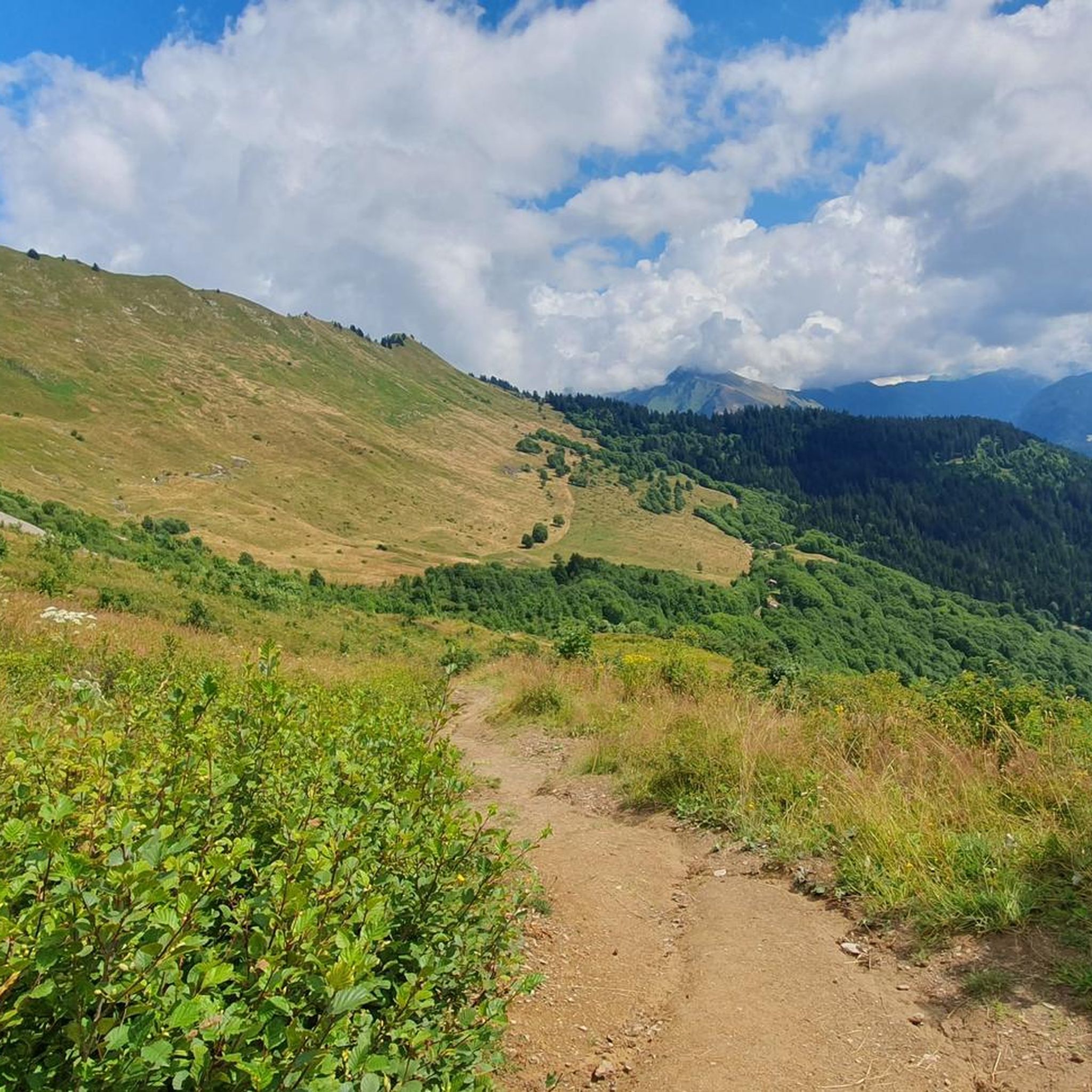
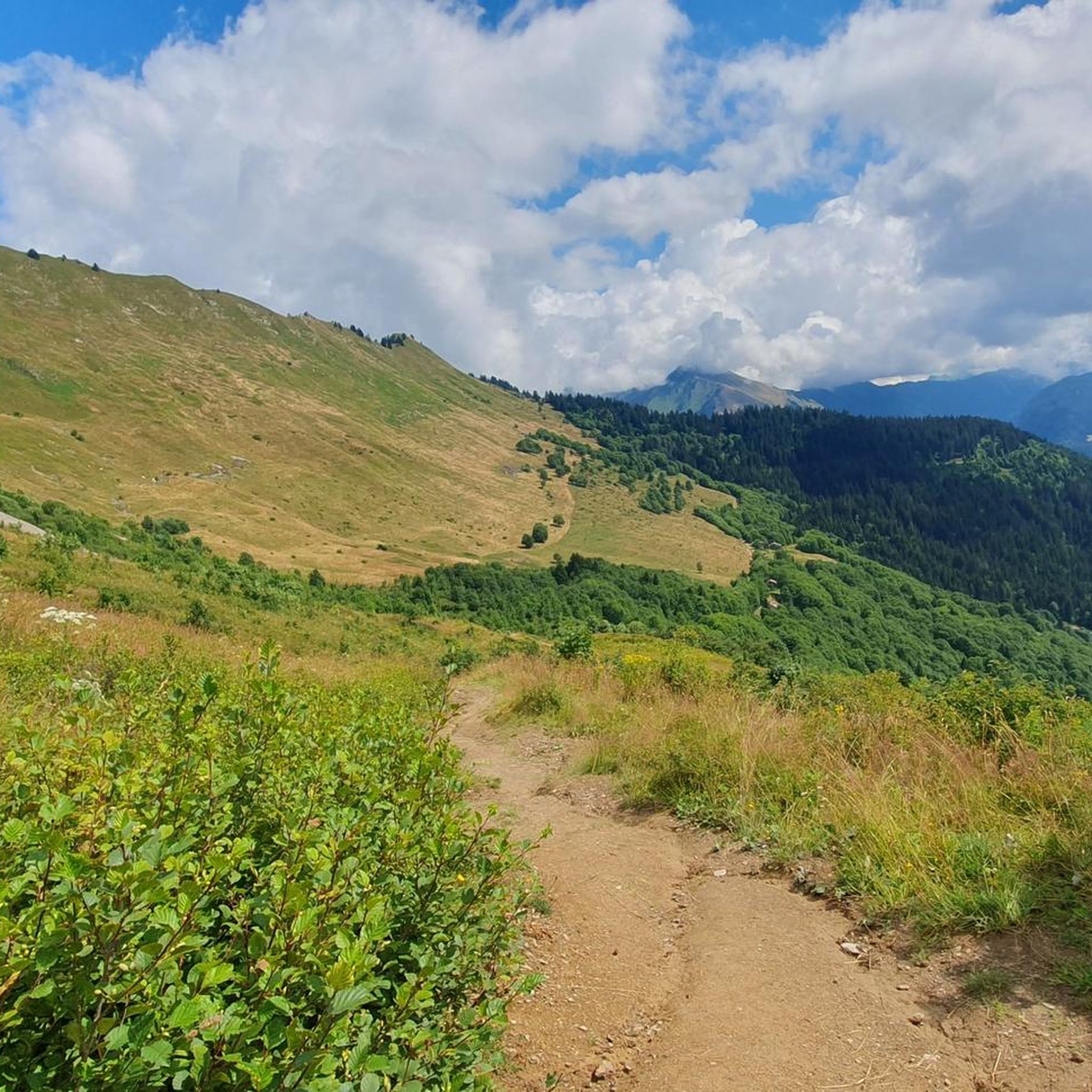
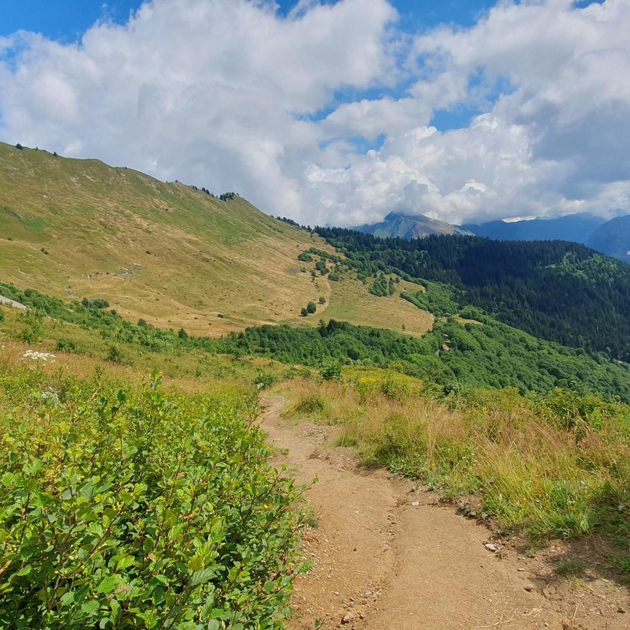
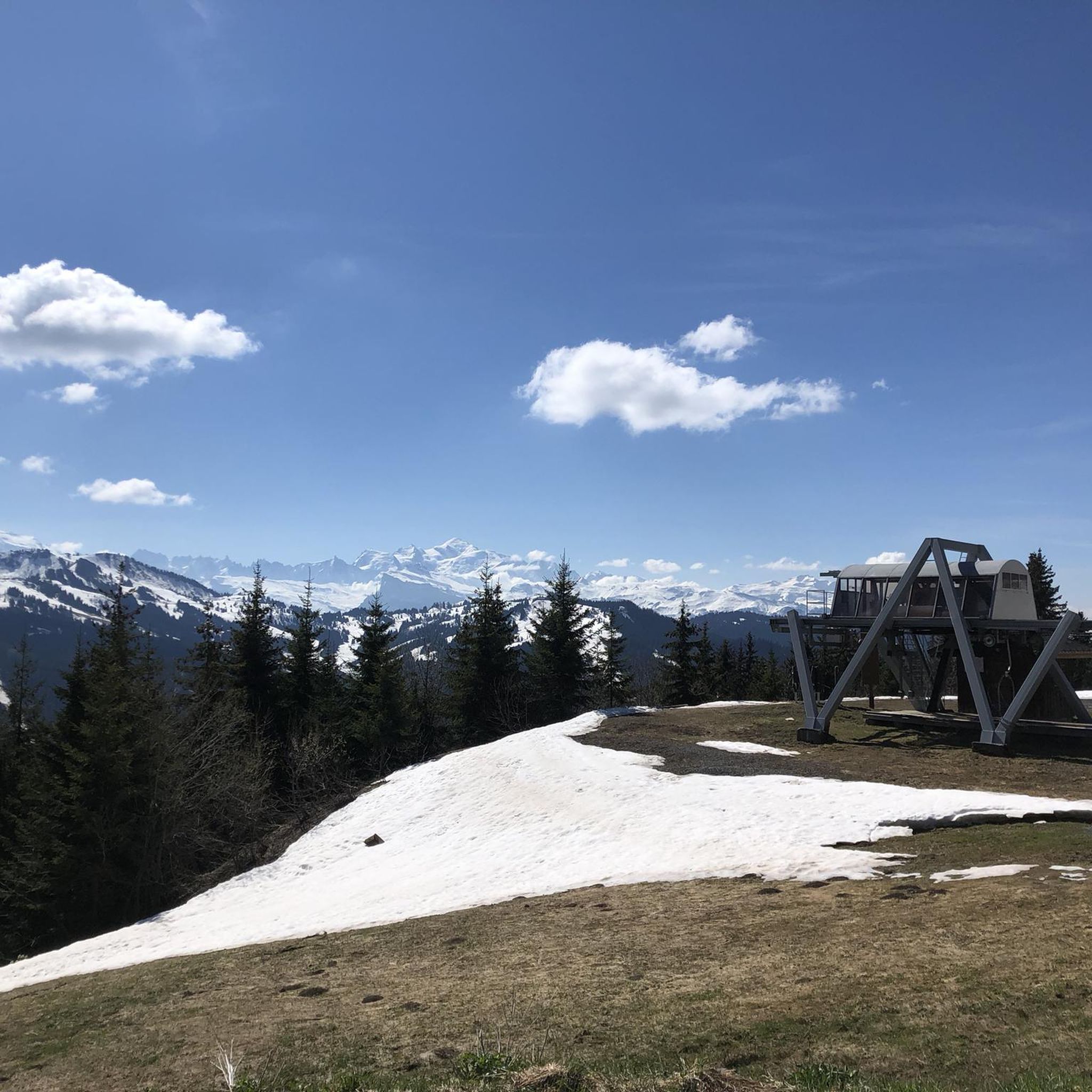
Mountaineering routes around La Côte-D'Arbroz are set within the high-mountain environment of the Haute-Savoie, with altitudes ranging from 932 to 2240 meters. The region is characterized by diverse alpine landscapes, including the prominent Roc d'Enfer massif, which forms the highest point of the commune. Mountaineers can expect a mix of challenging ascents, alpine pastures, and dense forests, often providing panoramic views of the Mont Blanc and Aravis mountains.
Best mountaineering routes around La Côte-D'Arbroz
- The most popular mountaineering route is…
Last updated: October 9, 2026
14
hikers
7.56km
02:58
530m
530m
Moderate mountaineering route. Good fitness required. Easily-accessible paths. Suitable for all skill levels.
5.0
(1)
10
hikers
12.5km
05:03
860m
860m
Hard mountaineering route. Very good fitness required. Mostly accessible paths. Sure-footedness required.

4.3
(3)
15
hikers
12.9km
04:39
740m
740m
Moderate mountaineering route. Good fitness required. Easily-accessible paths. Suitable for all skill levels.
5.0
(2)
8
hikers
7.65km
03:13
490m
490m
Moderate mountaineering route. Good fitness required. Mostly accessible paths. Sure-footedness required.
6
hikers
8.52km
03:13
470m
470m
Moderate mountaineering route. Good fitness required. Mostly accessible paths. Sure-footedness required.
Get access to more routes and recommendations from other explorers.
Already have an account?
Our route recommendations are based on thousands of hikes, rides, and runs completed by other people on komoot.
Start today with a free account
Your next adventure awaits.

Tips from the Community

When you descend from Col de la Ramaz to Munes you will find yourself in a wonderfully beautiful hilly alpine meadow.
0
0
Lac de Roy is a small mountain lake with crystal clear water, wedged between green alpine meadows and limestone cliffs. From the shore you have a wide view over the valley of the Giffre, the meadows of Sommand–Praz de Lys and the peaks of the Môle and the Aravis.
0
0

One of the most beautiful views of the valley, with a rather unusual view overlooking the mole. It is then possible to cross the ridges to Pointe du Haut Fleury but be careful at Pas de l'Ane which is quite exposed despite the handrail. Strictly not recommended in case of dizziness.
0
0


A summit with some of the best views of the surrounding alps.
0
0
Frequently Asked Questions
How many mountaineering routes are available around La Côte-D'Arbroz?
There are over 30 mountaineering routes around La Côte-D'Arbroz listed on komoot, offering a wide range of options for exploring the high-mountain environment of Haute-Savoie.
Are there mountaineering routes suitable for beginners or families in La Côte-D'Arbroz?
Yes, La Côte-D'Arbroz offers routes for various skill levels, including some easier options. For example, the region has 1 easy route and 15 moderate routes. While specific 'family-friendly' designations aren't always explicit for mountaineering, routes with lower elevation gain and shorter distances, such as the Pointe de Chalune – Col de Vésinaz loop from Praz de Lys Sommand, might be more approachable.
What kind of views can I expect on mountaineering routes in La Côte-D'Arbroz?
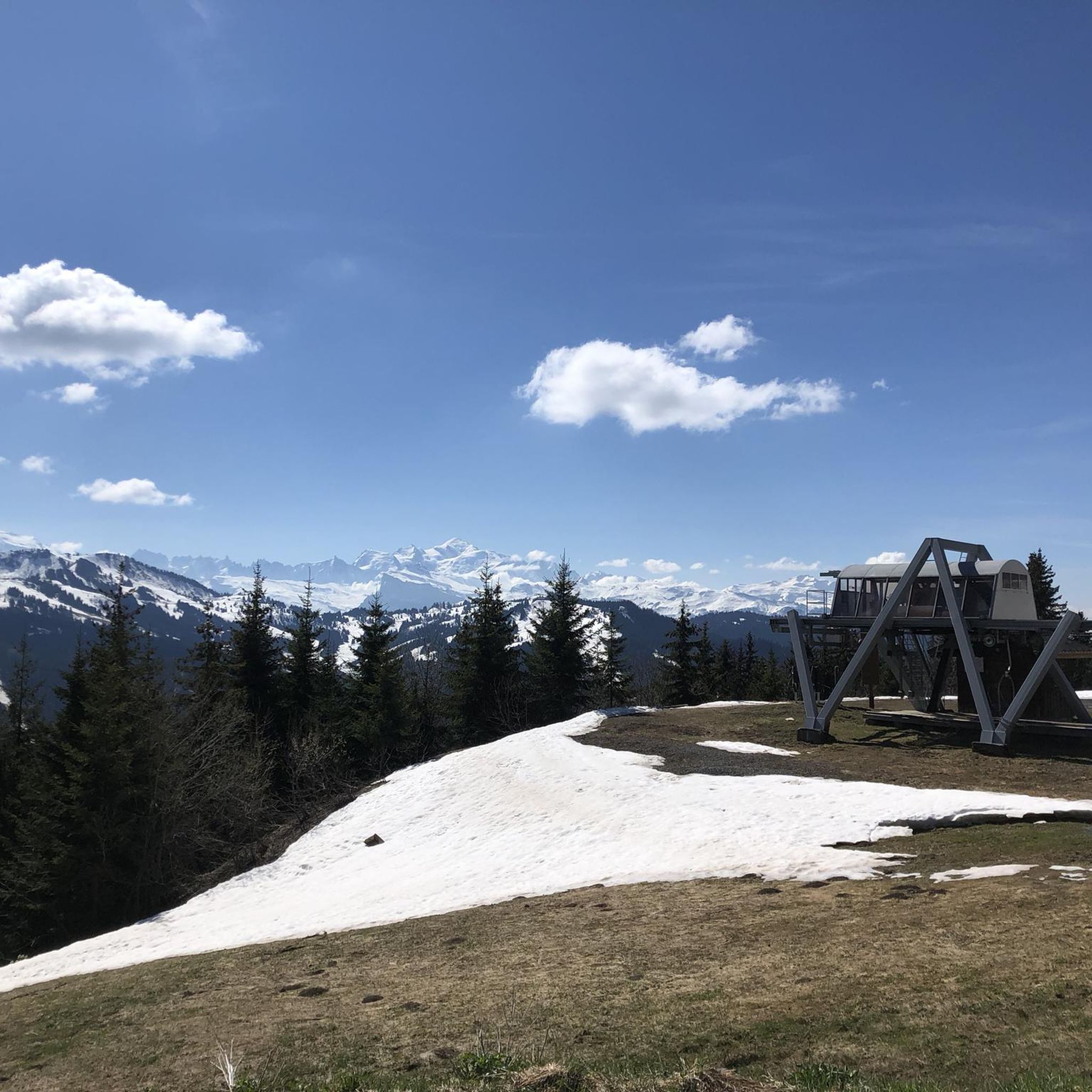
Mountaineering routes in La Côte-D'Arbroz often provide breathtaking panoramic views of the majestic Mont Blanc massif and the Aravis mountains. Many trails ascend to high points and mountain passes like Col de l'Encrenaz, Col Ratti, and Col de la Basse, which are known for their exceptional vistas. The La Bourgeoise lookout is particularly noted as an ideal spot to witness the sunset and the alpenglow on Mont Blanc.
Are there challenging mountaineering routes for experienced individuals?
Absolutely. La Côte-D'Arbroz is home to 16 difficult mountaineering routes, designed for experienced individuals seeking a challenge. These routes often involve significant elevation gain and varied terrain, such as the Pointe de Chalune – Col de Foron loop from Les truites, which covers 7.8 miles (12.6 km) with substantial ascent.
When is the best time of year to go mountaineering in La Côte-D'Arbroz?
The best time for mountaineering in La Côte-D'Arbroz is typically during the warmer months, from late spring to early autumn, when trails are clear of snow and weather conditions are more stable. This allows for full access to the diverse terrain, alpine pastures, and high mountain passes. In winter, the area transforms into a destination for ski touring and snowshoeing, with the Col de l'Encrenaz serving as a starting point for these activities.
Can I find circular mountaineering routes in the area?
Yes, many of the mountaineering routes around La Côte-D'Arbroz are designed as loops, allowing you to start and end at the same point. Examples include the Pointe de Chalune – Col de Vésinaz loop from Praz de Lys Sommand, the Pointe de Chalune – Col de Foron loop from Les truites, and the Col de Chalune loop from Praz de Lys Sommand.
What natural attractions can I see along the mountaineering routes?
The region is rich in natural beauty. You might encounter features like the prominent Roc d'Enfer massif, which is a Natura 2000 reserve. Nearby attractions include the magnificent Lac de Montriond, and cascades such as Cascade d'Ardent. Many routes traverse alpine pastures and dense forests, offering a chance to experience the diverse flora.
Is it possible to spot wildlife while mountaineering in La Côte-D'Arbroz?
Yes, the alpine environment and Natura 2000 reserve status of areas like the Roc d'Enfer massif provide opportunities for wildlife spotting. Hikers exploring trails at the foot of Roc d'Enfer might encounter chamois herds, and the diverse terrain supports various mountain flora and fauna.
What do other mountaineers say about the routes in La Côte-D'Arbroz?
The mountaineering routes in La Côte-D'Arbroz are highly regarded by the komoot community, holding an average rating of 4.7 stars from over 20 reviews. Mountaineers often praise the varied terrain, the stunning panoramic views of Mont Blanc and the Aravis mountains, and the well-maintained trails that lead through forests and alpine pastures.
Are there any specific mountain passes that are popular for mountaineering?
Yes, several mountain passes are key features of the mountaineering landscape. The Col de l'Encrenaz (1433 m) is a significant access point and starting point for various routes, offering connections to peaks and exceptional vistas. Other notable passes include Col Ratti and Col de la Basse, which are often incorporated into scenic loops like the Pointe de Ratti – Col de la Basse loop from Col de l'Encrenaz.
What is the typical elevation gain on mountaineering routes in this region?
The elevation gain on mountaineering routes in La Côte-D'Arbroz varies significantly depending on the route's difficulty. Moderate routes, such as the Pointe de Chalune – Col de Vésinaz loop, can have around 525 meters of ascent. More difficult routes, like the Pointe de Chalune – Col de Foron loop, feature higher gains, reaching approximately 860 meters.
Most popular routes around La Côte-D'Arbroz
Most popular attractions around La Côte-D'Arbroz

Get inspired with the komoot mobile app


Explore more
Browse the best Mountain Hikes & Routes in other regions.
