The best mountain hikes around Bonne
5.0
(1)
35
hikers
3
hikes
Mountaineering routes around Bonne are characterized by varied terrain, including significant elevation changes and forested sections. The region features a network of trails that ascend through woodlands, offering views of the surrounding peaks and valleys. These routes often involve sustained climbs and descents, providing a challenging experience for mountaineers. The landscape is defined by its mountainous topography, with paths winding through natural features.
Best mountaineering routes around Bonne
- The most popular mountaineering route is Chalet de Pré-Berger loop from Veyrier…
Last updated: July 6, 2026
5.0
(1)
19
hikers
11.9km
05:04
820m
820m
Hard mountaineering route. Very good fitness required. Mostly accessible paths. Sure-footedness required.
2
hikers
10.0km
03:16
440m
440m
Moderate mountaineering route. Good fitness required. Mostly accessible paths. Sure-footedness required.

Sign up for free
1
hikers
8.25km
02:52
390m
390m
Hard mountaineering route. Good fitness required. Sure-footedness, sturdy shoes and alpine experience required.
Our route recommendations are based on thousands of hikes, rides, and runs completed by other people on komoot.
Start today with a free account
Your next adventure awaits.
Login or Signup
Tips from the Community

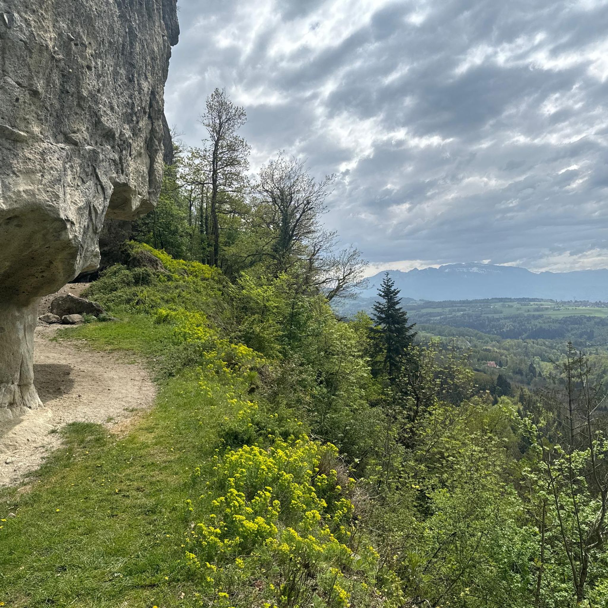
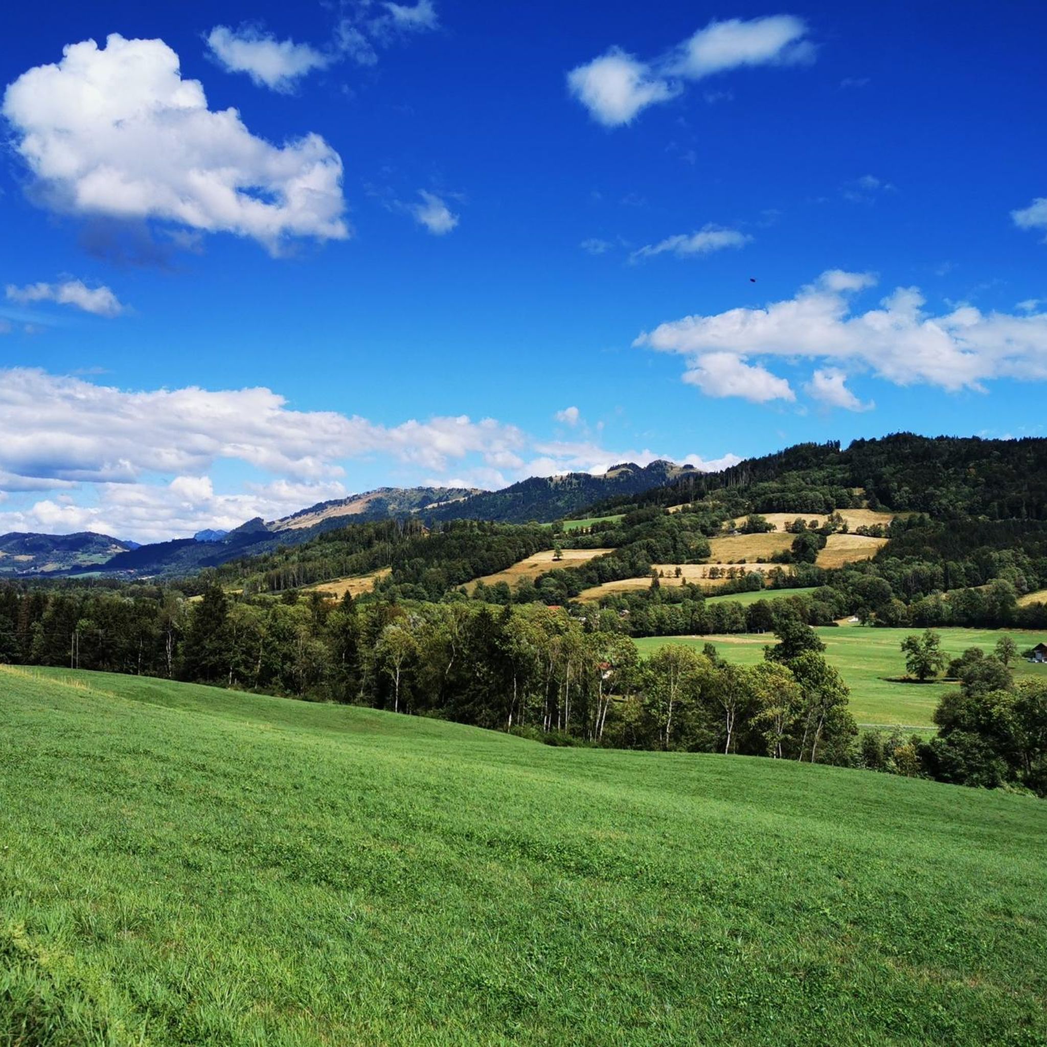
Only open to go in a few days if the week - I think Wed, Sat and Sun. View is still good from outside!
0
0

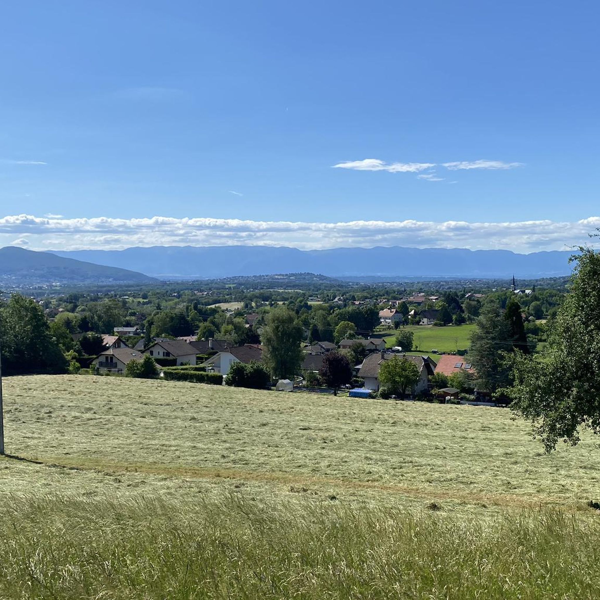
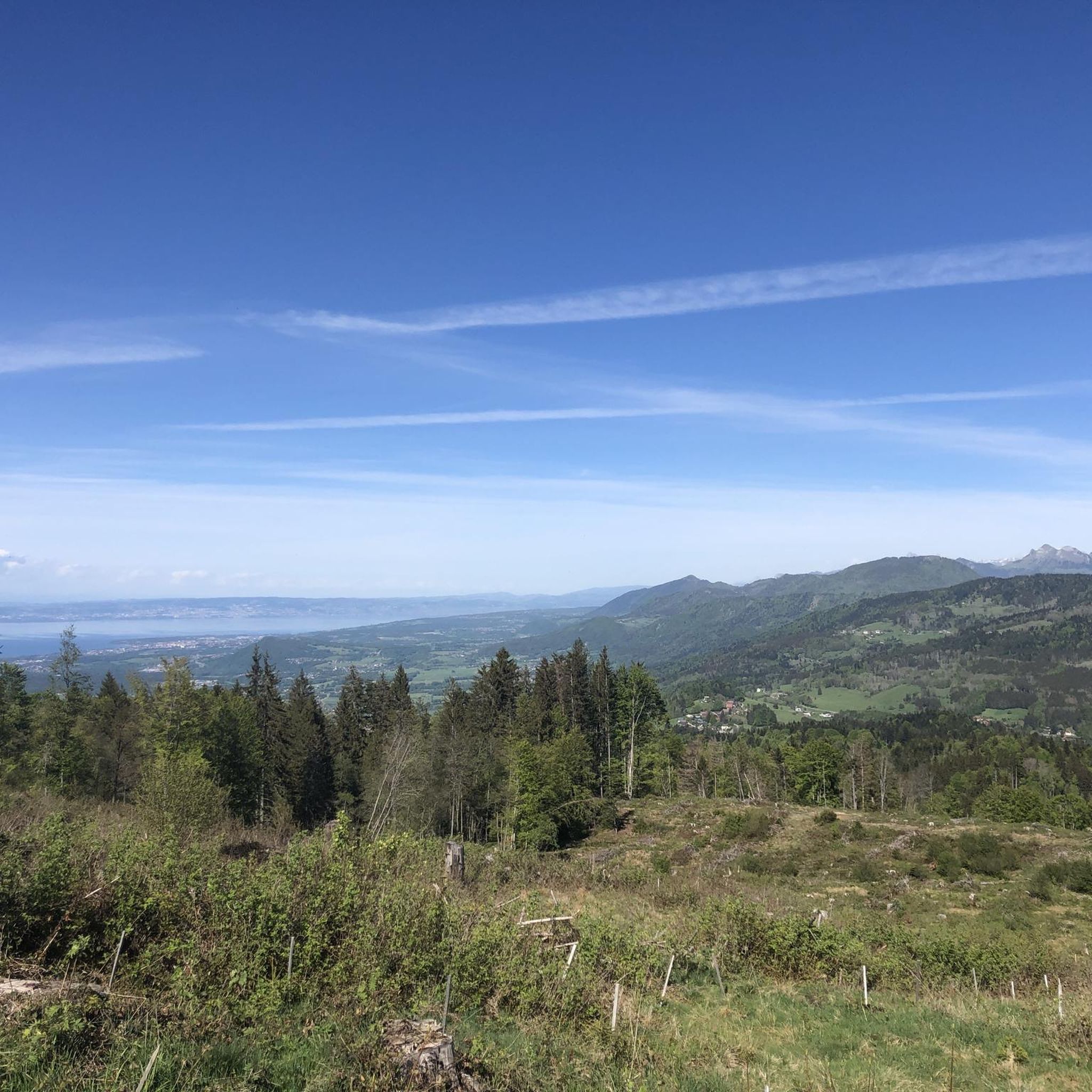
A beautiful view of Geneva, or rather, its clouds.
0
0


Cycling down from Salève, this breathtaking view of the Geneva region and the lake is the final reward of this demanding climb. You can dream for a long time in front of this landscape, or have a drink, stretch out on the lawn, and watch the paragliders fly just above. SUMMER SEASON | FROM APRIL 1, 2025 TO NOVEMBER 2, 2025 Open daily. Last ascent at 6:30 p.m. | Last descent at 6:45 p.m. Late openings on Thursdays, Fridays, and Saturdays: Last ascent at 10:30 p.m. | Last descent at 10:45 p.m. The 360° terrace closes at 6:30 p.m. Prices: €18 (adult) / €13 (reduced) / €6.50 (children)
0
0


The Ajon climb is signposted from Villard. It is 7.3 kilometres long and has an average gradient of 8.3% with a passage at over 15%. At the top, the view at an altitude of 1,406 metres is delightful.
1
0

Steep ascent, many parts are steeper than 10%. In 2023, this climb was included in the Tour.
0
1
Frequently Asked Questions
What is the general difficulty level of mountaineering routes in Bonne?
The mountaineering routes around Bonne offer a mix of challenges. You'll find both moderate and difficult routes, characterized by significant elevation changes and varied terrain. For example, the Chalet de Pré-Berger loop from Veyrier is a difficult route with over 800 meters of elevation gain, while the Brantaz Peak loop from Lucinges is considered moderate.
Are there any circular mountaineering routes in Bonne?
Yes, several mountaineering routes in Bonne are designed as loops, allowing you to start and finish at the same point. Examples include the challenging Chalet de Pré-Berger loop from Veyrier and the moderate Brantaz Peak loop from Lucinges. These circular paths are great for experiencing the diverse landscapes without retracing your steps.
What kind of natural features or landmarks can I expect to see along the mountaineering routes?
The mountaineering routes in Bonne often lead through forested sections and offer panoramic views of surrounding peaks and valleys. You can also explore nearby natural attractions such as the Orjobet Cave and The Trou de la Tine. For stunning vistas, consider routes that offer views of the Salève mountain range, which is known for its impressive viewpoints.
What do other mountaineers enjoy most about the routes in Bonne?
The mountaineering routes in Bonne are highly rated by the komoot community, with an average score of 5.0 stars. Mountaineers often praise the varied terrain, significant elevation gains, and the rewarding panoramic viewpoints encountered along the trails. The network offers a challenging yet fulfilling experience for those seeking mountain adventures.
Are there any routes suitable for beginners looking to try mountaineering?
While all routes involve significant elevation, the Brantaz Peak loop from Lucinges is a moderate option that could be suitable for beginners with a good level of fitness. It covers 10 km with over 430 meters of ascent. Another moderate choice is the Chalet de Pré-Berger loop from Veyrier, which is 9.4 km with over 680 meters of ascent.
Are there any particularly challenging mountaineering routes for experienced climbers?
For experienced mountaineers seeking a significant challenge, the Chalet de Pré-Berger loop from Veyrier is a difficult route spanning nearly 12 km with an elevation gain of over 800 meters. Another demanding option is the Ascent to Plaine-Joux – Pointe de Miribel loop from Pointe de Miribel, which is also rated difficult.
What are some notable viewpoints or summits accessible via mountaineering routes?
Many routes offer excellent viewpoints. The region features several summits and viewpoints such as Téléphérique du Salève, Signal of the Voirons, and View of Mont Blanc and Lake Annecy from Mont Salève. These spots provide breathtaking panoramic vistas of the surrounding mountains and valleys.
How long do the mountaineering routes typically take to complete?
The duration of mountaineering routes in Bonne varies depending on the length and difficulty. For instance, the difficult Chalet de Pré-Berger loop from Veyrier typically takes around 5 hours, while the moderate Brantaz Peak loop from Lucinges can be completed in about 3 hours and 16 minutes.
Are there any highlights or attractions near the starting points of these routes?
Yes, several attractions are located near the mountaineering routes. For example, the Balcony Trail on the Salève is a notable highlight. You might also find interesting mountain passes like Col de Saxel, which can be part of a broader exploration of the area.
What is the total number of mountaineering routes available in Bonne?
There are at least 5 distinct mountaineering routes documented around Bonne, offering a range of distances and elevation gains for different skill levels.
Are there any routes that offer views of Mont Blanc or Lake Annecy?
Yes, some viewpoints in the broader Bonne area, particularly from the Salève mountain, offer spectacular views. For example, the View of Mont Blanc and Lake Annecy from Mont Salève is a highly recommended highlight for those seeking these iconic vistas.
Most popular attractions around Bonne

Get inspired with the komoot mobile app


Explore more
Browse the best Mountain Hikes & Routes in other regions.
