The best mountain hikes around Chapelle-Des-Bois
4.5
(2)
8
hikers
2
hikes
Mountaineering around Chapelle-Des-Bois offers routes through the Jura mountains, characterized by forested slopes, high-altitude pastures, and panoramic summits. The region features varied terrain, from challenging ascents to moderate loops, often traversing cols and ridges. These routes provide opportunities to explore the natural landscapes of the Jura Vaudois Nature Park and surrounding areas. The elevation gains on these trails can be significant, leading to expansive views across the Franco-Swiss border.
Best mountaineering routes around Chapelle-Des-Bois
- The most popular mountaineering route is…
Last updated: July 6, 2026
4.0
(1)
4
hikers
17.3km
05:57
740m
740m
Hard mountaineering route. Very good fitness required. Mostly accessible paths. Sure-footedness required.
3
hikers
Moderate mountaineering route. Good fitness required. Easily-accessible paths. Suitable for all skill levels.

Sign up for free
5.0
(1)
1
hikers
8.61km
03:06
480m
490m
Moderate mountaineering route. Good fitness required. Easily-accessible paths. Suitable for all skill levels.
Our route recommendations are based on thousands of hikes, rides, and runs completed by other people on komoot.
Start today with a free account
Your next adventure awaits.
Login or Signup
Popular around Chapelle-Des-Bois
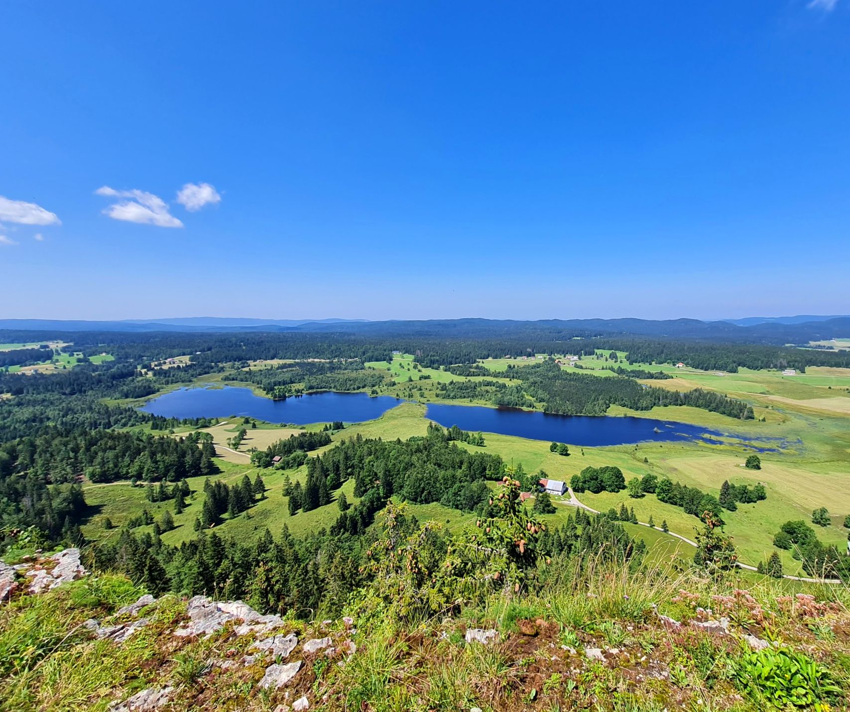
The Europe Trail – GR 5 from Nyon to Montbéliard
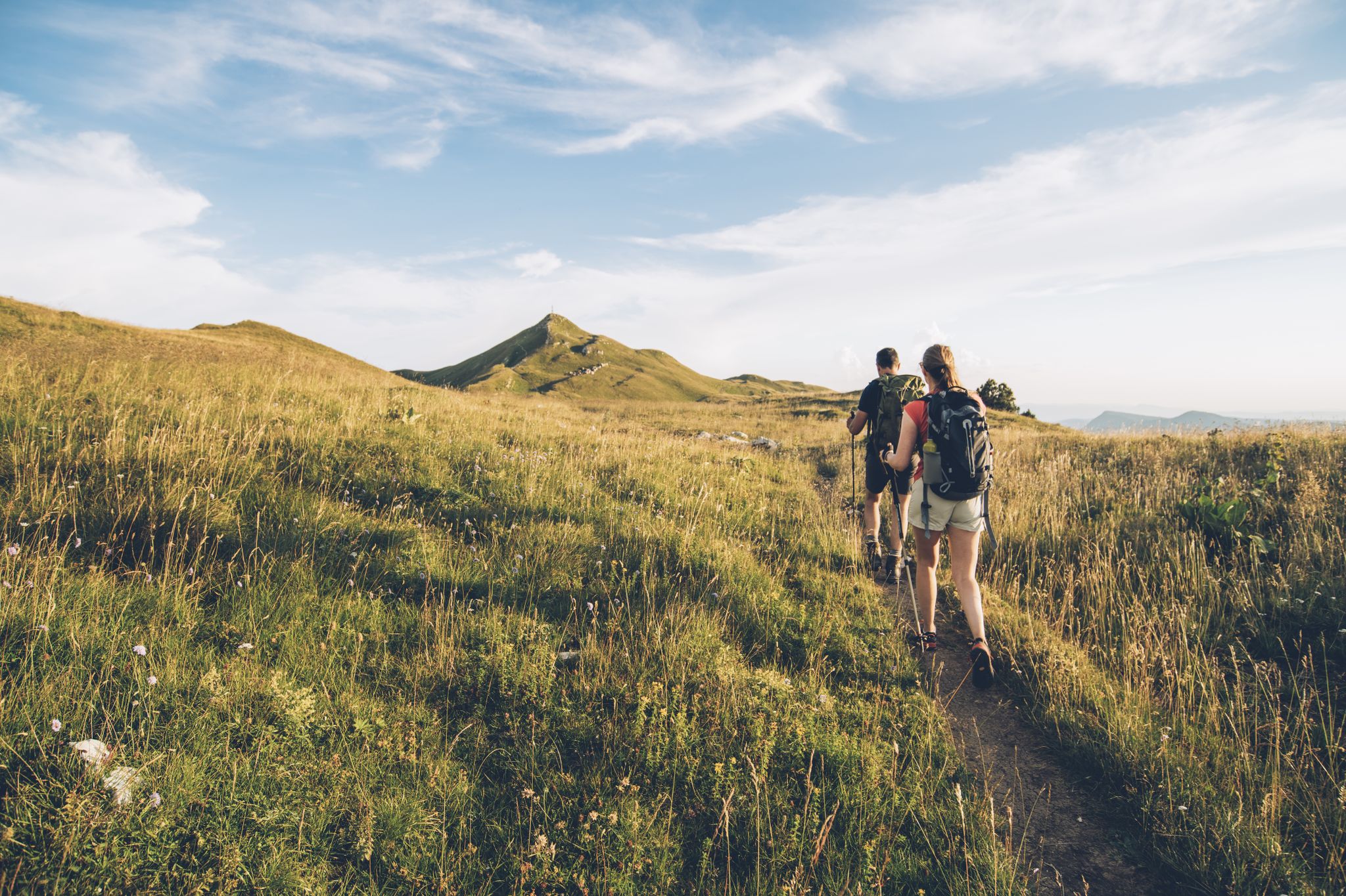
The thousand faces of the Jura Mountains – Grande Traversée du Jura on foot
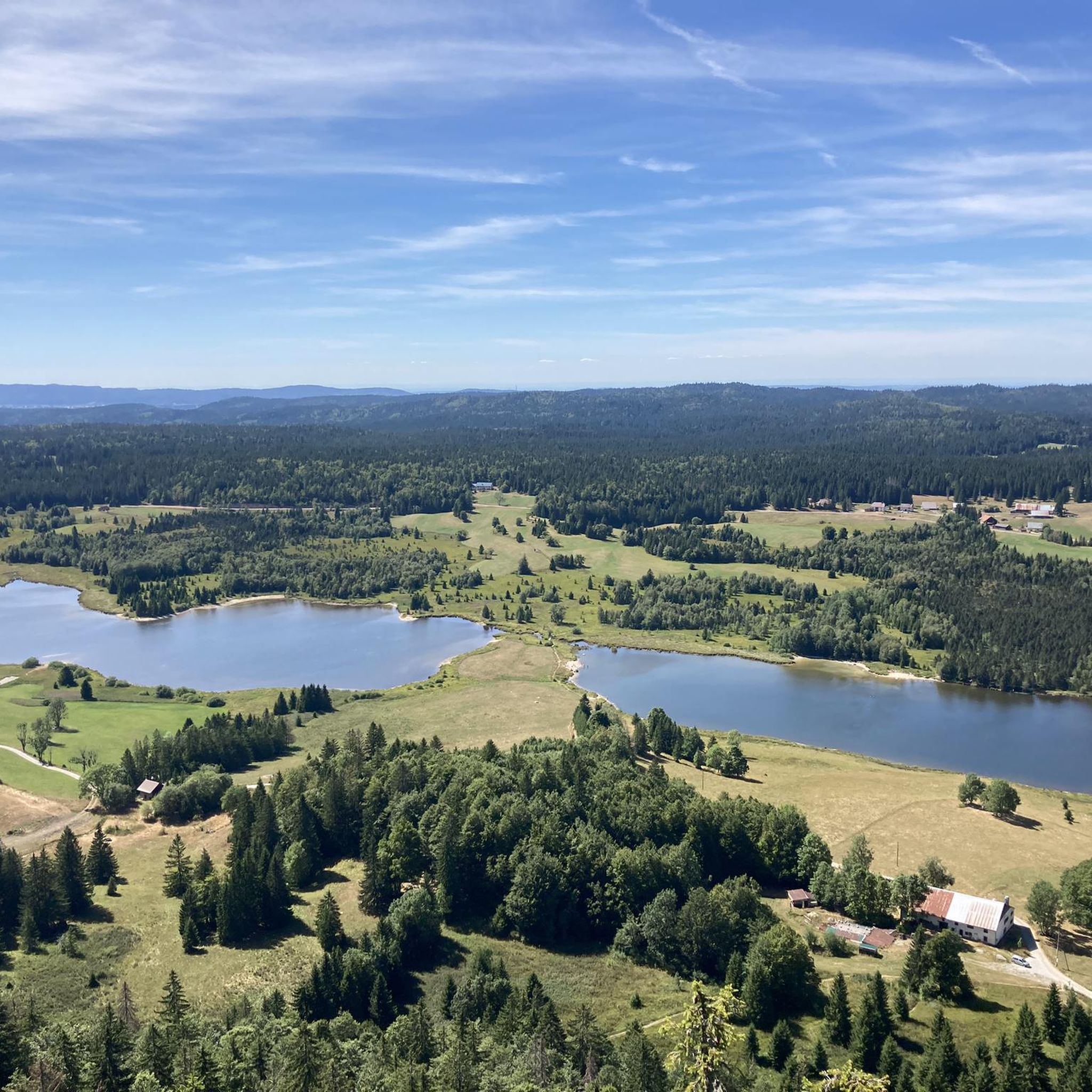
Road Cycling Routes around Chapelle-Des-Bois
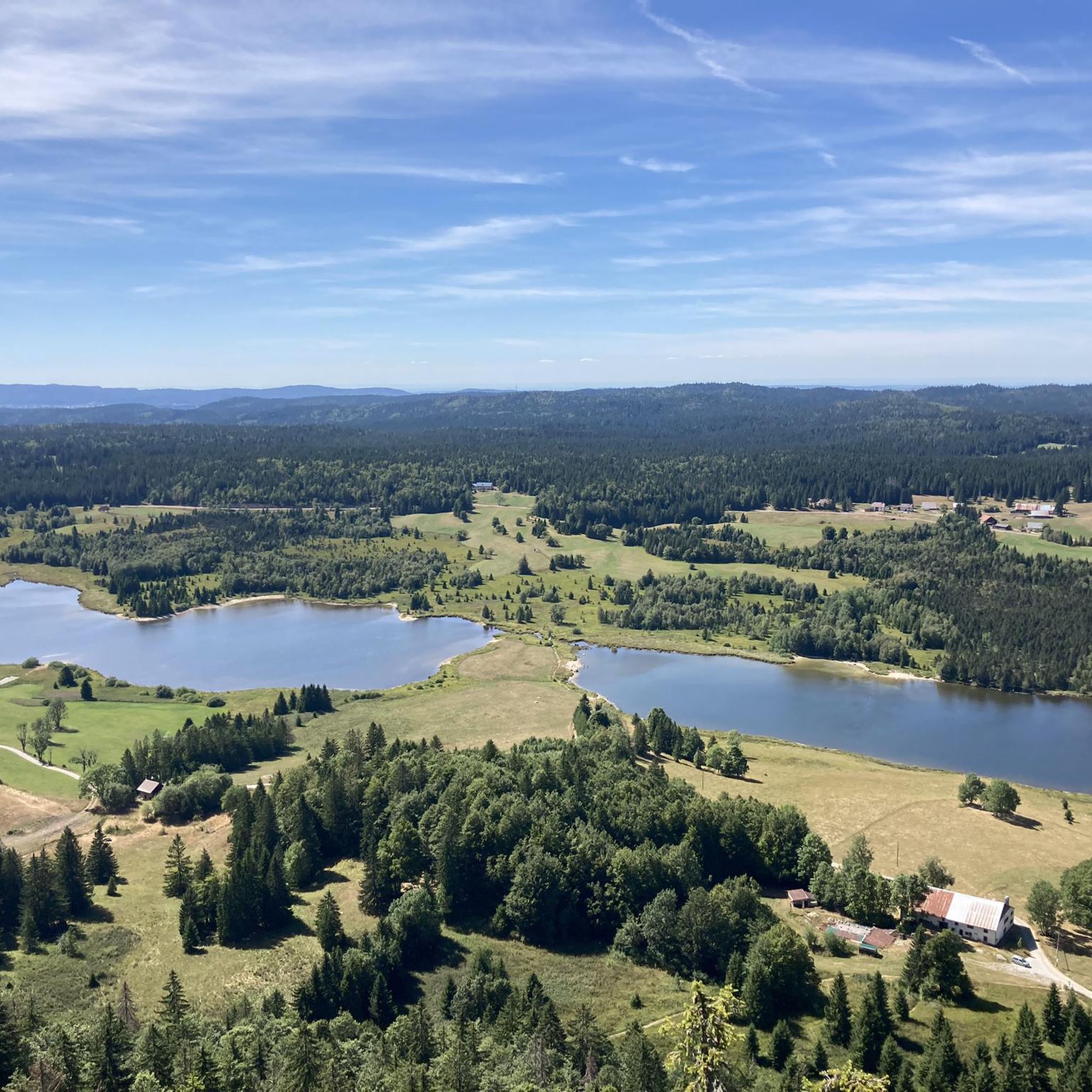
Hiking around Chapelle-Des-Bois
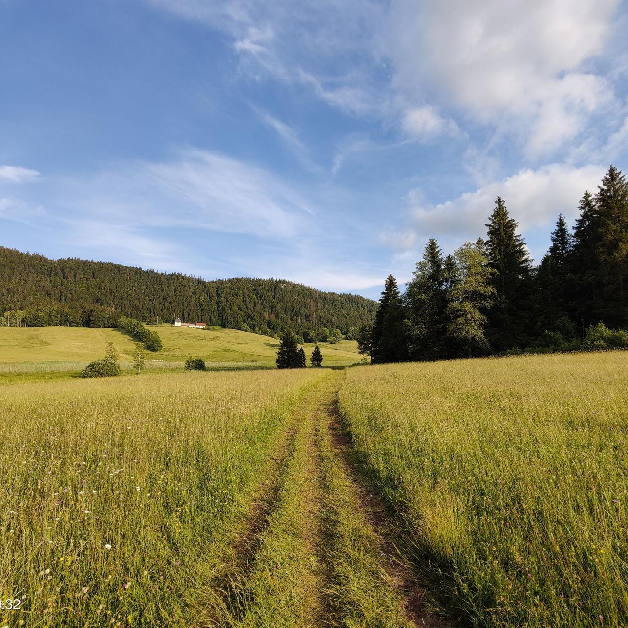
Running Trails around Chapelle-Des-Bois
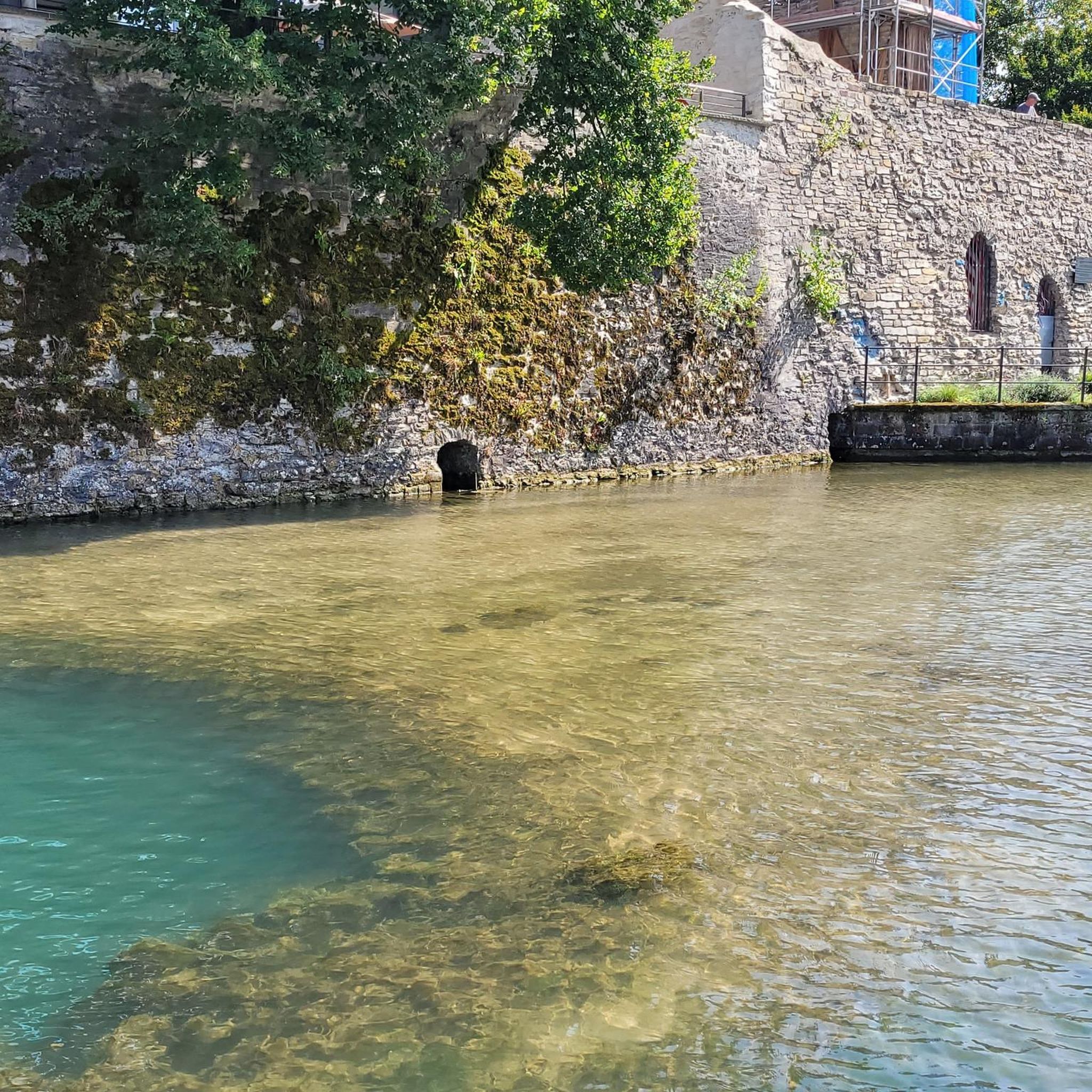
Gravel biking around Chapelle-Des-Bois
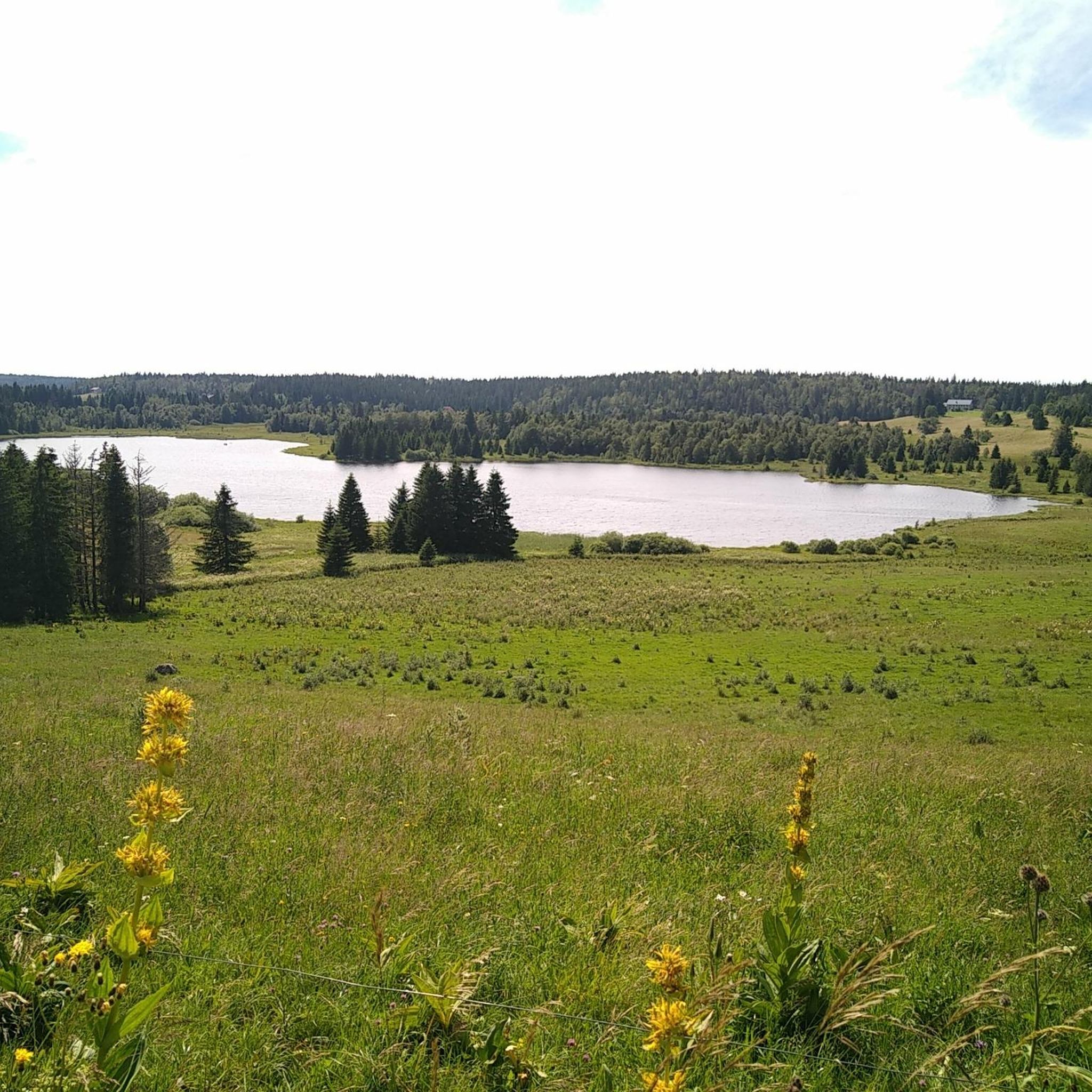
Cycling around Chapelle-Des-Bois
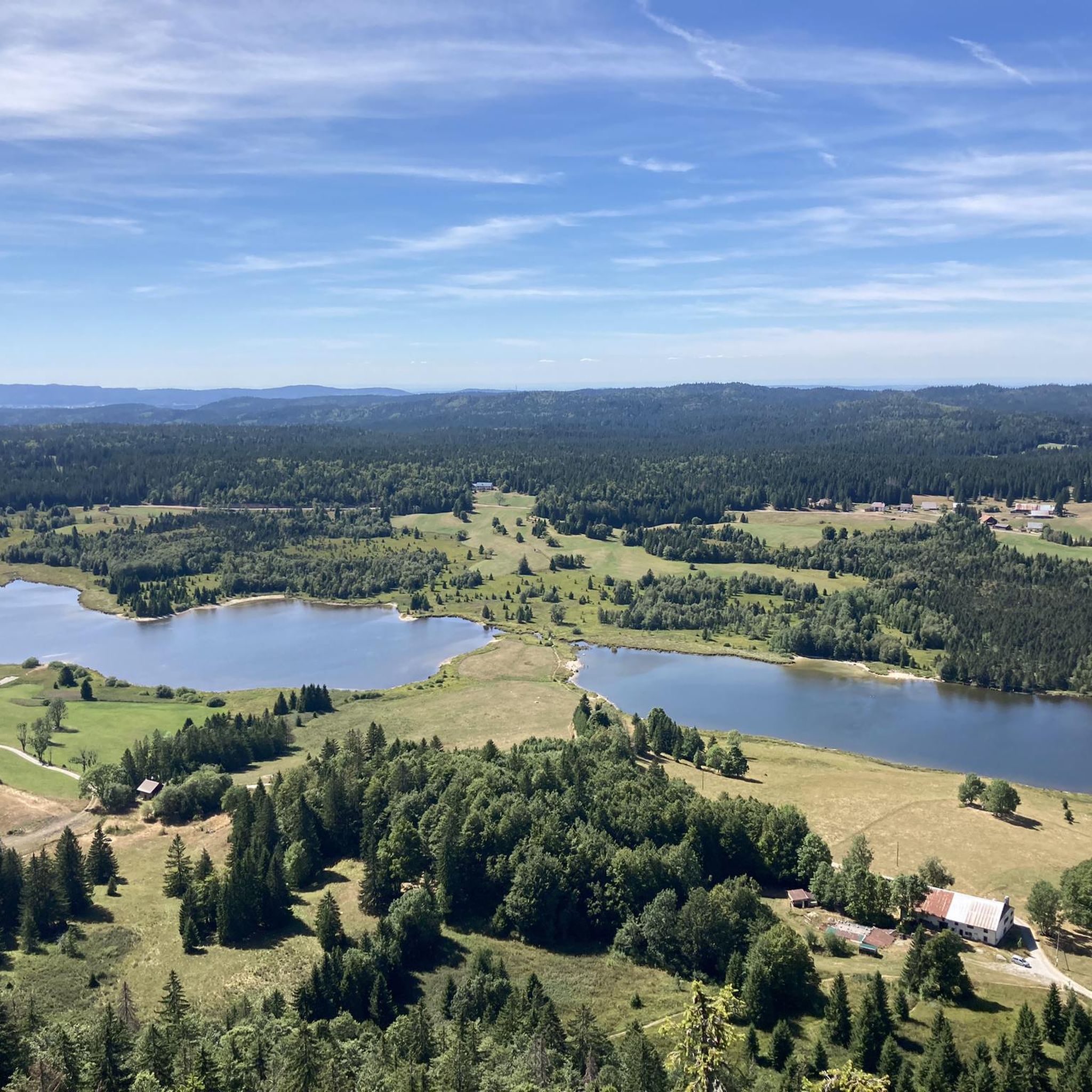
MTB Trails around Chapelle-Des-Bois


Tips from the Community

Wonderful small summit with the best view of Lake Geneva and the Alps
0
0

Summit in the Swiss Jura at 1546m Beautiful view of Lac des Rousses. On a clear day, view of Lake Geneva and the Alps.
0
0

The route up from Biere on the Swiss side is a solid steady climb with a few 12% and 13% sections. Traffic is quite light and the road is excellent. The trees give some nice protection from the sun and wind. Crossing the col northwards takes you down to the Vallé de Joux on a pretty steep decent with great corners and some short straights. My brakes made sounds I have never heard before! I did this and Col de Mollendrux together for a great 80k / 1,500 m ride. Recommended.
2
0

Wonderful view of the lake
1
0


Magnificent view of the Alps on a clear day. Sometimes a sea of clouds spreads across the valley
0
0
Magnificent hike. Doable in winter (snowshoes if powder, or even hiking shoes with crampons if the snow is hard)
0
0

Great winter hike with a lot of snow. Snowshoes very recommended at times. 11km 5h of pure sporty pleasure
0
0
Frequently Asked Questions
What kind of terrain can I expect on mountaineering routes around Chapelle-Des-Bois?
Mountaineering routes in the Chapelle-Des-Bois region traverse the Jura mountains, offering a diverse landscape. You'll encounter forested slopes, high-altitude pastures, and panoramic summits. The terrain varies from challenging ascents to moderate loops, often crossing cols and ridges, with significant elevation gains leading to expansive views across the Franco-Swiss border.
Are there any easy or moderate mountaineering routes suitable for beginners in Chapelle-Des-Bois?
While many routes feature significant elevation, there are options for varying skill levels. For a moderate experience, consider the Col du Marchairuz (1,449 m) – Crêt de la Neuve Summit loop from Jura Vaudois Nature Park. This 6.8-mile (10.9 km) path offers a mix of forest and open mountain scenery within a natural park setting.
What is the best time of year for mountaineering in Chapelle-Des-Bois?
The Jura mountains around Chapelle-Des-Bois are generally best explored for mountaineering from late spring through early autumn (May to October) when trails are clear of snow and weather conditions are more stable. During winter, routes can become challenging due to snow and ice, requiring specialized gear and experience.
Are there any circular mountaineering routes in the area?
Yes, several routes are designed as loops. For example, the popular Mont Sâla Summit – Creux du Croue loop from Bois-d'Amont is a difficult 10.8-mile (17.3 km) trail that offers summit views. Another option is the Le Noirmont – Le Noirmont-des-Français loop from Le Noirmont, a 5.3-mile (8.6 km) trail through varied mountain terrain.
What kind of wildlife might I encounter on the trails around Chapelle-Des-Bois?
The Jura Vaudois Nature Park and surrounding areas are home to diverse wildlife. Keep an eye out for chamois and ibex on higher rocky sections, various bird species, and potentially deer or marmots in alpine meadows. Respect their habitat by keeping a safe distance and not disturbing them.
Are there any waterfalls or gorges to see along the mountaineering routes?
Yes, the region features several natural attractions. You might encounter the dramatic Langouette Gorges or the scenic Bief de la Ruine Waterfalls. The Creux du Croue is another notable gorge in the area.
What do other mountaineers enjoy most about Chapelle-Des-Bois?
The komoot community highly rates the mountaineering routes around Chapelle-Des-Bois, with an average score of 4.5 stars. Reviewers often praise the varied terrain, from challenging ascents to scenic loops, and the expansive views across the Jura mountains.
Are there any places to eat or find refreshments near the trails?
Yes, you can find options for refreshments. For example, the Chalet du Pré-aux-Veaux and Les Pralets are establishments where you can stop for a meal or a drink. There are also several huts like the Cabane des Électriciens and Clamagasin Hut that might offer basic provisions or shelter.
How long do mountaineering routes typically take in Chapelle-Des-Bois?
The duration of mountaineering routes varies significantly based on distance, elevation gain, and your pace. For instance, a difficult route like the Mont Sâla Summit – Creux du Croue loop, which is 10.8 miles (17.3 km) long, typically takes around 5 hours 56 minutes. Shorter, moderate routes, such as the 5.3-mile (8.6 km) Le Noirmont – Le Noirmont-des-Français loop, can be completed in about 3 hours 5 minutes.
What should I wear or bring for mountaineering in this region?
Given the varied terrain and significant elevation changes, it's essential to be prepared. Wear sturdy hiking boots with good ankle support, layer your clothing to adapt to changing temperatures, and bring waterproof outer layers. Always carry sufficient water, snacks, a map or GPS device, and a first-aid kit. Depending on the season, trekking poles can also be very helpful.
Are the mountaineering trails around Chapelle-Des-Bois dog-friendly?
Many trails in the Jura mountains are generally dog-friendly, but it's always best to check specific regulations for the Jura Vaudois Nature Park or any protected areas you plan to enter. Keep your dog on a leash, especially in areas with livestock or wildlife, and ensure you carry out all waste.
Most popular routes around Chapelle-Des-Bois
Most popular attractions around Chapelle-Des-Bois

Get inspired with the komoot mobile app


Explore more
Browse the best Mountain Hikes & Routes in other regions.
