The best mountain hikes around Ponet-Et-Saint-Auban
5.0
(5)
26
hikers
6
hikes
Mountaineering routes around Ponet-Et-Saint-Auban traverse the foothills of the Vercors Massif, characterized by varied terrain including forested slopes, rocky outcrops, and mountain passes. The region offers a mix of challenging ascents and more moderate trails, often leading to panoramic viewpoints. Limestone formations and deep valleys are common features, providing diverse landscapes for mountaineering.
Best mountaineering routes around Ponet-Et-Saint-Auban
- The most popular mountaineering route is Mountaineering loop from Point de Vue du Col du Rousset, a 1.3 miles (2.1 km)…
Last updated: July 5, 2026
8
hikers
2.07km
01:07
170m
170m
Hard mountaineering route. Great for any fitness level. Sure-footedness, sturdy shoes and alpine experience required.
5.0
(1)
4
hikers
11.5km
03:55
560m
560m
Moderate mountaineering route. Good fitness required. Easily-accessible paths. Suitable for all skill levels.

Sign up for free
3
hikers
Moderate mountaineering route. Good fitness required. Mostly accessible paths. Sure-footedness required.
5.0
(2)
3
hikers
8.84km
03:06
500m
500m
Moderate mountaineering route. Good fitness required. Easily-accessible paths. Suitable for all skill levels.
5.0
(2)
4
hikers
12.6km
04:16
610m
610m
Moderate mountaineering route. Good fitness required. Easily-accessible paths. Suitable for all skill levels.
Our route recommendations are based on thousands of hikes, rides, and runs completed by other people on komoot.
Start today with a free account
Your next adventure awaits.
Login or Signup
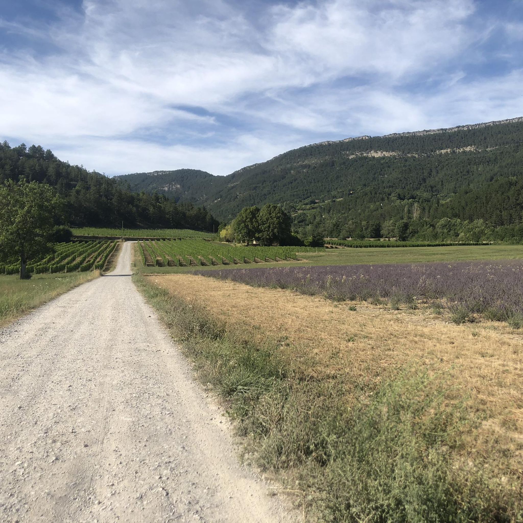
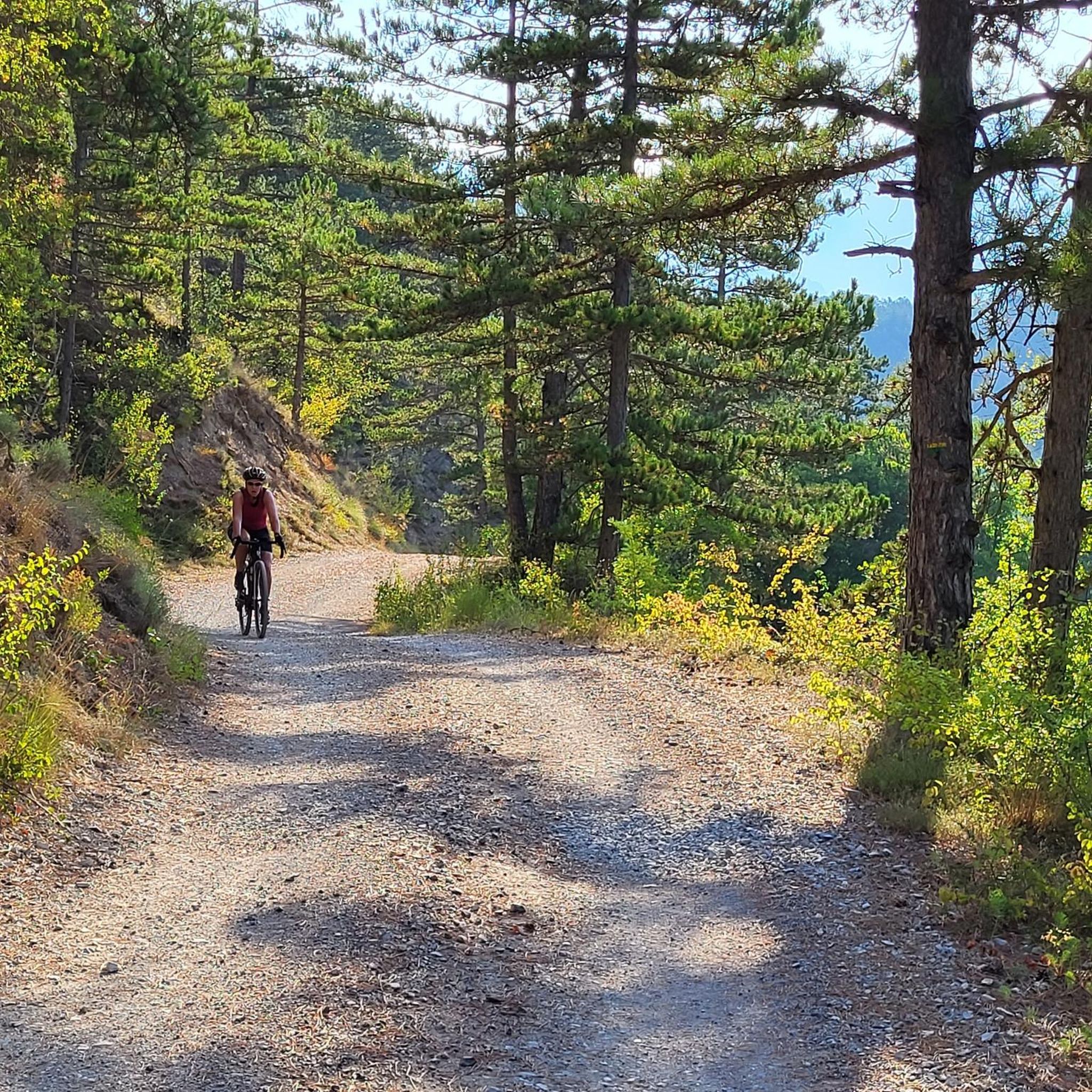

Tips from the Community

The museum is installed on the site of a late Neolithic flintknapping workshop abandoned 4,500 years ago by artisan knappers. Discovered in 1970, this exceptionally well-preserved workshop is the origin of the museum's creation. Through various themes, the different phases of occupation of the Vercors by prehistoric humans are highlighted.
0
0


A great place! From here you have an excellent view of the surrounding mountains, especially the ridge of the Grand Veymont and (it feels like) the entire Vercor plateau When I climbed in September 2023, the access from the south (as here in the Komoot tour suggestions) was closed due to construction work. I therefore had to start from the east, see my tour.
0
0

Path is 30 cm wide. Next to it an abyss. Stay away if you suffer from vertigo.
0
0

The old town of Die is worth a visit, it is full of artisan shops and good products to eat (restaurants, bakery, etc.) In the town center you will find the Vélodrome store to help you with your bikes or to rent.
0
0


Le Glacier, best place to have an ice cream 🍨 after a long ride or walk. They have 80 tastes!
0
0
Frequently Asked Questions
What is the general difficulty level of mountaineering routes around Ponet-Et-Saint-Auban?
The routes in this area primarily range from moderate to difficult. You'll find 5 moderate routes and 1 difficult route, offering a good challenge for experienced mountaineers and those looking to push their limits. For example, the Mountaineering loop from Point de Vue du Col du Rousset is classified as difficult due to its significant elevation gain over a short distance.
Are there any family-friendly mountaineering options near Ponet-Et-Saint-Auban?
While most routes are moderate to difficult, active families with some mountaineering experience might enjoy the moderate trails. These routes, such as the Die – Pas de Gralatte loop from Die, offer varied terrain and scenic views without the extreme challenges of the most difficult ascents. Always assess the specific route details and your family's fitness level before setting out.
What kind of terrain can I expect on mountaineering routes in the Ponet-Et-Saint-Auban area?
Mountaineering routes here traverse the foothills of the Vercors Massif, featuring a diverse landscape. You'll encounter forested slopes, rocky outcrops, and mountain passes. Limestone formations and deep valleys are common, providing a mix of challenging ascents and scenic viewpoints.
What are some notable natural attractions or landmarks along these routes?
The region is rich in natural beauty and historical sites. You might encounter the impressive Druise Waterfall, or explore the historic town of Die and its Old Town. Many routes also pass through significant mountain passes like Col de Rousset, offering panoramic views.
Are there any circular mountaineering routes available?
Yes, several routes are designed as loops, allowing you to start and end at the same point. Examples include the Die – Pas de Gralatte loop from Die, which explores a mountain pass, and the But Saint-Genix – Col de la Chau (1,447 m) loop, leading through mountain cols and towards a summit.
What is the best season for mountaineering in Ponet-Et-Saint-Auban?
The most favorable seasons for mountaineering in the Vercors Massif are generally late spring, summer, and early autumn (May to October). During these months, the weather is typically more stable, and trails are clear of snow, offering the best conditions for exploring the diverse landscapes.
Can I bring my dog on the mountaineering trails?
The Vercors Regional Natural Park, where Ponet-Et-Saint-Auban is located, generally permits dogs on trails, but they must be kept on a leash to protect wildlife and ensure the safety of other hikers. Always check specific trail regulations, especially if a route enters a nature reserve, as rules can vary.
What are the typical durations for mountaineering routes in this area?
The duration of routes varies significantly based on distance and difficulty. For instance, the challenging Mountaineering loop from Point de Vue du Col du Rousset can be completed in just over an hour, while longer moderate routes like the La Croix de Justin loop from Die might take around 4 hours 10 minutes.
Are there any hidden gems or less-trafficked routes to explore?
While all routes offer unique experiences, the But de Nève loop from Col de Rousset is a moderate trail that provides stunning views and a sense of solitude, leading you through beautiful mountain scenery away from the most popular spots.
What do other mountaineers say about the routes in Ponet-Et-Saint-Auban?
The mountaineering routes around Ponet-Et-Saint-Auban are highly regarded by the komoot community, boasting an average rating of 5.0 stars from over 5 reviews. Users frequently praise the varied terrain, the stunning panoramic viewpoints, and the well-maintained paths that make for rewarding ascents.
Where can I find parking for mountaineering trails?
Many routes start from accessible points where parking is typically available. For example, routes often begin near the Col de Rousset, the town of Die, or the Musée de la Préhistoire de Vassieux-en-Vercors. It's advisable to check the specific starting point of your chosen route for detailed parking information.
Most popular routes around Ponet-Et-Saint-Auban
Most popular attractions around Ponet-Et-Saint-Auban

Get inspired with the komoot mobile app


Explore more
Browse the best Mountain Hikes & Routes in other regions.
