The best mountain hikes around Saint-Franc
4.3
(5)
26
hikers
1
hike
Mountaineering routes around Saint-Franc are situated within the Savoie department of the Auvergne-Rhône-Alpes region, offering diverse natural landscapes. The area is characterized by the rugged limestone cliffs and dense forests of the Chartreuse Massif, providing a varied terrain for mountaineering. Elevations within the commune range from 320m to 725m, serving as a base for exploring higher peaks and numerous mountain passes like Col de l'Épine. This region is ideal for those seeking challenging ascents and expansive views across the surrounding…
Last updated: June 22, 2026
5.0
(2)
9
hikers
9.43km
03:39
480m
480m
Hard mountaineering route. Good fitness required. Sure-footedness, sturdy shoes and alpine experience required.
6
hikers
20.1km
08:01
1,210m
1,210m
Hard mountaineering route. Very good fitness required. Sure-footedness, sturdy shoes and alpine experience required.

Sign up for free
3.0
(2)
6
hikers
14.0km
06:15
1,020m
1,020m
Hard mountaineering route. Very good fitness required. Sure-footedness, sturdy shoes and alpine experience required.
5.0
(1)
3
hikers
9.00km
03:36
610m
610m
Hard mountaineering route. Good fitness required. Sure-footedness, sturdy shoes and alpine experience required.
2
hikers
6.84km
02:17
330m
340m
Moderate mountaineering route. Good fitness required. Easily-accessible paths. Suitable for all skill levels.
Our route recommendations are based on thousands of hikes, rides, and runs completed by other people on komoot.
Start today with a free account
Your next adventure awaits.
Login or Signup
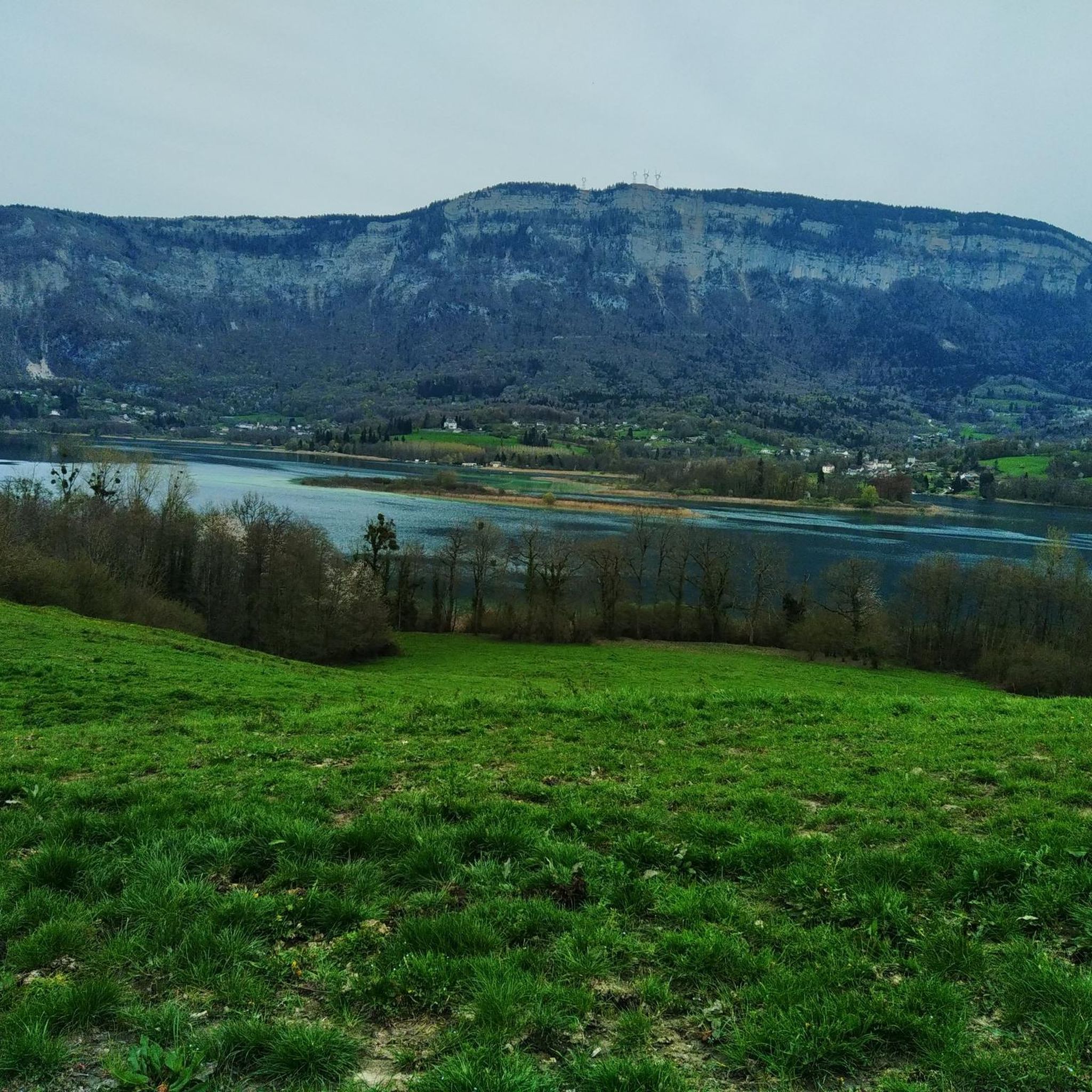
Tips from the Community

Caution: This section involves a semi-stop and traverse along a cliff face without a handrail. Not recommended for people prone to vertigo or for children.
0
0

Very beautiful view of the 2 lakes 👌
0
0


Done today, lots of snow at the top, the climbing sections are dry and the descent too
0
0

Be careful, if in summer it is a fairly easy passage, in winter, as the surrounding slopes are steep, it is more prudent to have crampons
0
0

Magnificent summit above the Col de la Ruchère, offering you one of the most beautiful panoramas of the Chartreuse.
0
0

One of the most beautiful views I have ever seen, breathtaking view of Lake Aiguebelette, MAGNIFICENT.
2
0

Ascent accessible to all but requiring sure steps in the mountains. May be a little more difficult for people prone to vertigo. It may be necessary to secure the little ones with a lanyard (ledges). Some passages require help with your hands (semi-climbing) but the holds are beautiful and accessible to all. The descent by the same path is undoubtedly less easy and should be reserved for those in the know.
0
0
Frequently Asked Questions
How many mountaineering routes are available around Saint-Franc?
There are 5 distinct mountaineering routes available around Saint-Franc. Most of these are considered difficult, offering a significant challenge, while one route is rated as moderate.
What are some of the notable natural attractions I can explore while mountaineering near Saint-Franc?
The region around Saint-Franc, nestled in the Chartreuse Massif, offers several stunning natural features. You can find routes that take you near the panoramic views of Épine Pass or the serene waters of Lac d'Aiguebelette. Another prominent landmark is La Cochette Cross, offering expansive vistas.
Are there any circular mountaineering routes in the Saint-Franc area?
Yes, several routes offer a circular experience. For example, the challenging Mount Outheran – The Entremont Desert loop from Le Désert d'Entremont is a great option. Another demanding circular route is the Mont Grêle Viewpoint – Saint-Michel Pass loop from Lépin-le-Lac. For a slightly shorter, but still difficult, loop, consider the Ruchère Pass – Petit Som loop from Chartreuse Regional Nature Park.
What is the best time of year for mountaineering around Saint-Franc?
The Chartreuse Massif, where Saint-Franc is located, is excellent for mountaineering during the warmer months, typically from late spring to early autumn, when trails are clear of snow and weather conditions are more stable. However, the region also offers opportunities for winter mountaineering, though these require specific equipment and experience due to snow and ice conditions.
Are there any less crowded mountaineering routes near Saint-Franc?
While the Chartreuse Massif is popular, you can often find quieter experiences by exploring routes that start from smaller hamlets or by choosing longer, more challenging tours. The Mount Outheran – The Entremont Desert loop from Le Désert d'Entremont offers a substantial journey that can provide a sense of solitude away from more frequented paths.
What do other mountaineers enjoy most about the routes around Saint-Franc?
The komoot community rates the mountaineering routes around Saint-Franc highly, with an average score of 4.3 stars. Reviewers often praise the diverse natural scenery, from rugged limestone cliffs to dense forests, and the rewarding panoramic views from mountain passes like Col de l'Épine.
Are there any moderate difficulty mountaineering routes suitable for those with less experience?
Yes, for those looking for a less strenuous but still rewarding experience, the Tracol loop from Chartreuse Regional Nature Park is rated as moderate. This route offers a good introduction to the region's terrain without the extreme demands of the more difficult ascents.
What kind of terrain can I expect on mountaineering routes in the Chartreuse Massif?
The Chartreuse Massif is characterized by rugged limestone cliffs, dense forests, and varied natural scenery. You can expect a mix of steep ascents, rocky paths, and forest trails, often leading to high mountain passes and lookout points. The terrain can be challenging, requiring good physical condition and appropriate gear.
Can I find parking easily near the starting points of these mountaineering routes?
Starting points for routes like the Mount Outheran – The Entremont Desert loop from Le Désert d'Entremont or the Mont Grêle Viewpoint – Saint-Michel Pass loop from Lépin-le-Lac typically have designated parking areas. It's always advisable to check specific route details on komoot for parking information at the trailhead.
Are there any historical landmarks or castles to visit near the mountaineering areas?
Beyond the natural beauty, the region also has historical sites. You can find several castles and ruins nearby, such as the Ruins of Château de Montbel or Château de La Bauge. While not directly on the mountaineering routes, they offer interesting detours for cultural exploration.
What is the elevation gain like on the more challenging routes?
The more challenging routes in the Saint-Franc area feature significant elevation gains. For instance, the Mont Grêle Viewpoint – Saint-Michel Pass loop from Lépin-le-Lac involves over 1200 meters of ascent, providing a strenuous workout and rewarding views. Even the Ruchère Pass – Petit Som loop has over 1000 meters of elevation gain.
Most popular routes around Saint-Franc
Most popular attractions around Saint-Franc

Get inspired with the komoot mobile app


Explore more
Browse the best Mountain Hikes & Routes in other regions.
