The best mountain hikes around Saint-Martin-En-Vercors
5.0
(7)
48
hikers
8
hikes
Mountaineering around Saint-Martin-En-Vercors offers diverse and dramatic natural features within the Vercors Regional Natural Park. The region is characterized by the majestic Vercors Massif, featuring towering limestone cliffs, verdant forests, and vast grassy plateaus. Deep valleys and mountain passes also define the varied terrain, providing extensive opportunities for mountain activities.
Best mountaineering routes around Saint-Martin-En-Vercors
- The most popular mountaineering route is Col Vert loop from Piste olympique de luge de Villard-de-Lans, a 7.4 miles (11.9 km) moderate trail that…
Last updated: August 29, 2026
5.0
(3)
13
hikers
Hard mountaineering route. Very good fitness required. Mostly accessible paths. Sure-footedness required.
11
hikers
10.3km
04:18
830m
830m
Moderate mountaineering route. Good fitness required. Mostly accessible paths. Sure-footedness required.

Sign up for free
5.0
(2)
5
hikers
15.9km
08:03
1,270m
1,270m
Hard mountaineering route. Very good fitness required. Sure-footedness, sturdy shoes and alpine experience required.
5.0
(1)
7
hikers
Hard mountaineering route. Very good fitness required. Mostly accessible paths. Sure-footedness required.
5.0
(1)
4
hikers
18.0km
07:57
1,010m
1,010m
Hard mountaineering route. Very good fitness required. Sure-footedness, sturdy shoes and alpine experience required.
Get access to more routes and recommendations from other explorers.
Sign up for free
Already have an account?
Our route recommendations are based on thousands of hikes, rides, and runs completed by other people on komoot.
Start today with a free account
Your next adventure awaits.
Login or Signup


Tips from the Community

Attention closed on weekdays in September
0
0

Technical passage, stay focused and careful on the supports. Magnificent!
0
0

Pleasant lunch break spot - swimming prohibited
0
0

This waterfall is very melodious and it is worth stopping there to enjoy its melodies.
0
0

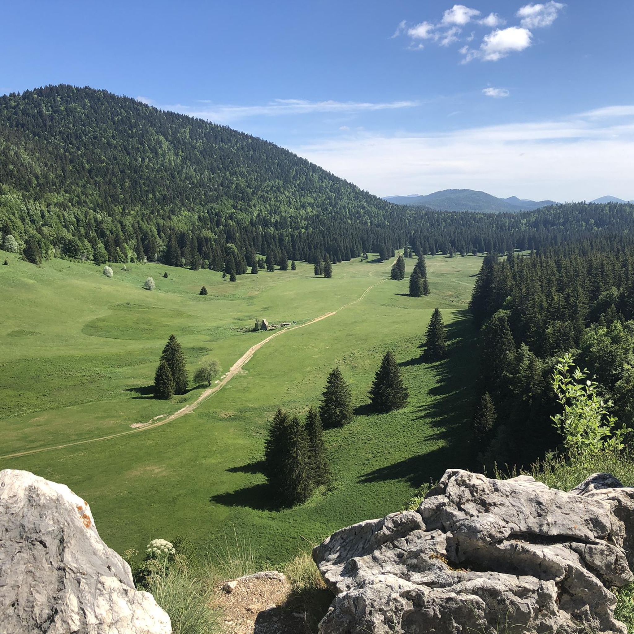
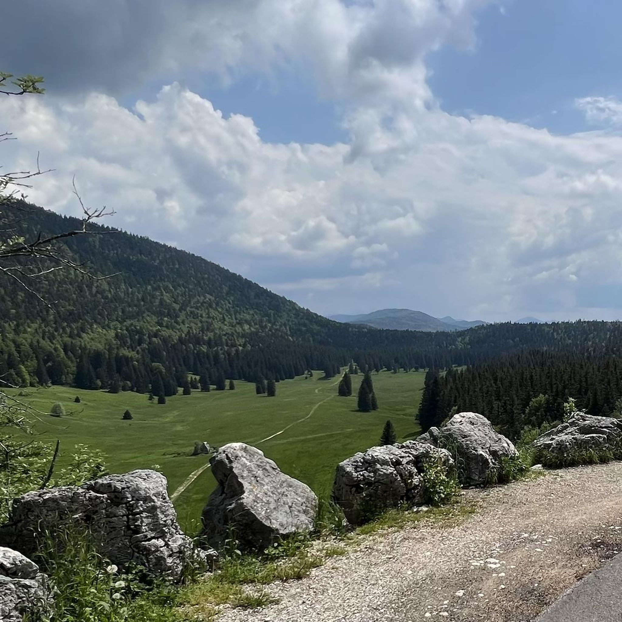
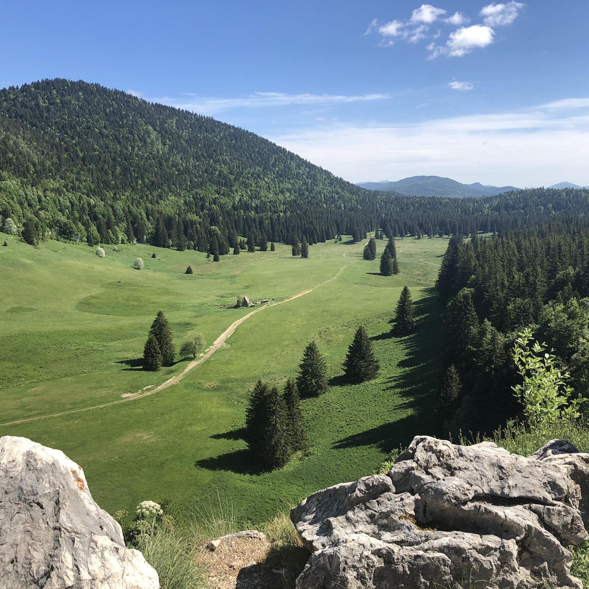
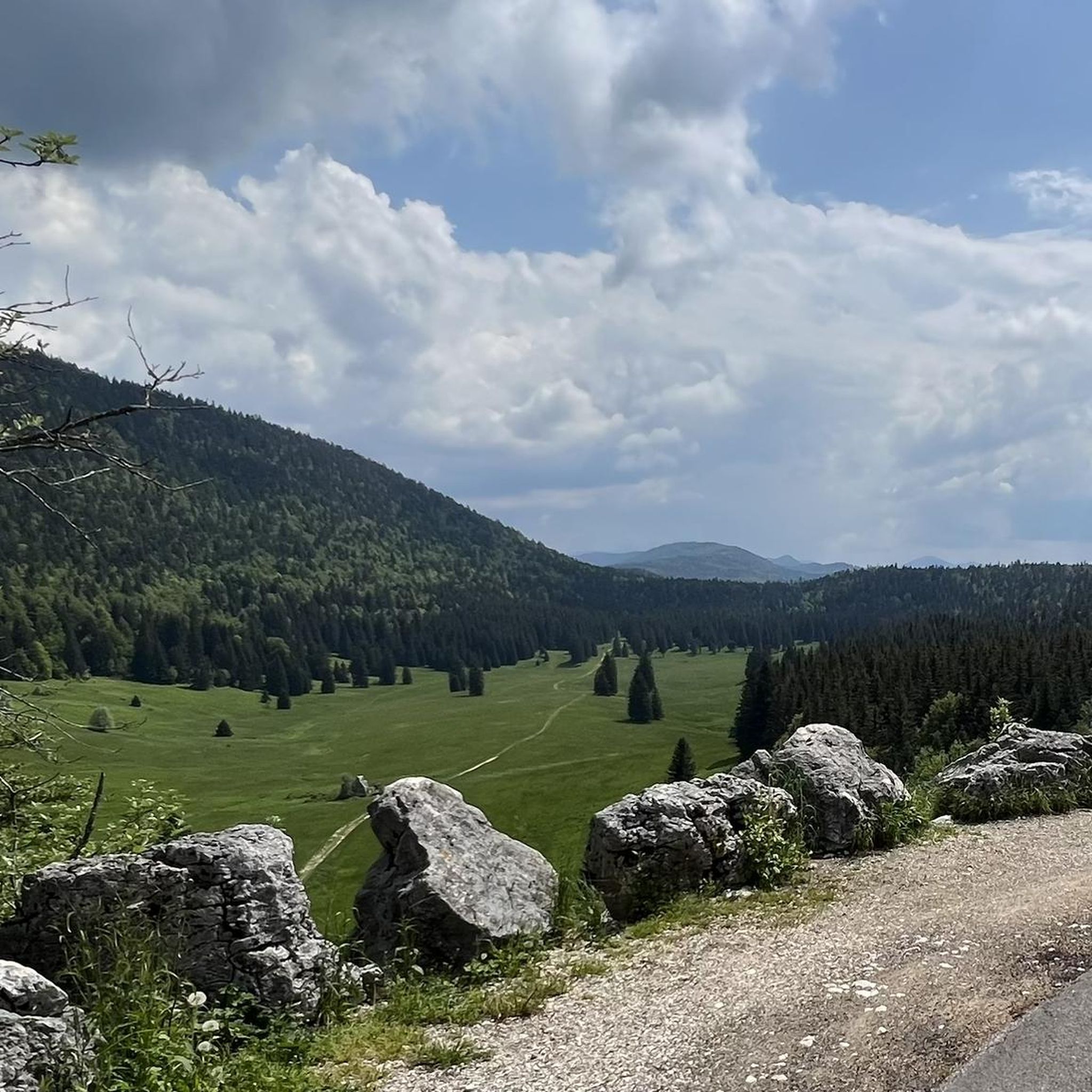
From the top of the Col Vert you can enjoy an exceptional view of the Vercors massif and Grenoble.
0
0

here you can take a breather before climbing
0
0
Very beautiful site for bivouac. But a few unserious people who swim and light fires even though it’s forbidden
0
0

Second highest peak in the Vercors - and as usual with "second summits" 😆 harder to climb than the Grand Veymont. But, as I did on my tour, it can be crossed from both sides, T4+ to T5 (according to the SAC scale) or climbing sections 1+. I recommend going from northeast to south. More in my tour and in the second waypoint listed here, these are often marked multiple times on Komoot...
1
1
Frequently Asked Questions
What kind of terrain can I expect on mountaineering routes around Saint-Martin-En-Vercors?
The Vercors Massif, where Saint-Martin-En-Vercors is located, is characterized by diverse terrain. You'll encounter towering limestone cliffs, dense forests, and vast grassy plateaus. The region also features deep valleys and mountain passes, offering a varied and engaging experience for mountaineers.
Are there any circular mountaineering routes in the area?
Yes, several routes are designed as loops. For instance, the Col Vert loop from Piste olympique de luge de Villard-de-Lans is a moderate 7.4-mile (11.9 km) route offering panoramic views. Another option is the Scialet des Pullis loop from Corrençon-en-Vercors, a moderate 5.9-mile (9.6 km) path traversing varied terrain.
What are the difficulty levels of mountaineering routes near Saint-Martin-En-Vercors?
The routes cater to various skill levels. You'll find both moderate and difficult options. For example, the Highly technical passage loop from Château-Bernard is considered difficult, covering 9.8 miles (15.8 km) through challenging terrain. There are 5 moderate and 5 difficult routes listed in the area.
What natural landmarks or viewpoints can I discover on these routes?
The Vercors region is rich in natural features. You can explore spectacular areas like the Combe Laval Cirque, known for its road carved into the rock and stunning valley views. Other notable points include the Machine Pass and the Ascent to the Col de la Machine. The Col Vert loop offers exceptional panoramas of the Vercors massif.
Are there any caves or geological formations to see near the mountaineering trails?
Yes, the Vercors is famous for its extensive underground cavities. You can find highlights like the Corrençon Natural Icehouse, the Gournier Cave, and the Moulin Marquis Spring. The Moulin-Marquis Waterfall and Bournillon Cave is another interesting spot combining a waterfall with a cave.
What is the best time of year for mountaineering in Saint-Martin-En-Vercors?
The Vercors offers outdoor activities year-round. While summer and autumn provide ideal conditions for mountaineering with generally stable weather and clear trails, the snow-covered mountains transform into a Nordic environment in winter, suitable for snowshoeing and Nordic skiing. Always check local weather conditions before heading out.
Are there any family-friendly mountaineering options?
While mountaineering routes generally require a good level of fitness, some moderate trails might be suitable for active families. The Vercors Regional Natural Park offers a wide range of trails, so looking for shorter, less strenuous routes with minimal elevation gain would be advisable for families with children. Always assess the specific route details and your family's capabilities.
What do other mountaineers say about the routes in Saint-Martin-En-Vercors?
The mountaineering routes around Saint-Martin-En-Vercors are highly rated by the komoot community, with an average score of 5.0 stars from 7 reviews. Users often praise the diverse terrain, from limestone cliffs to forests and plateaus, and the extensive opportunities for mountain activities within the Vercors Massif.
Are there any routes that pass by lakes?
Yes, the La Moucherolle Lake – Lac des Prés loop from Piste olympique de luge de Villard-de-Lans is a difficult 9.1-mile (14.6 km) mountaineering route that takes you past these scenic lakes, offering beautiful waterside views amidst the mountain landscape.
Are permits required for mountaineering in the Vercors Regional Natural Park?
The Vercors Regional Natural Park, including the 'Hauts-Plateaux' nature reserve, is a protected wilderness. While many trails are freely accessible, it's always prudent to check with local park authorities for any specific regulations or permit requirements, especially for certain sensitive areas or overnight stays within the reserve.
Where can I find parking for mountaineering trailheads?
Many mountaineering routes start from villages or designated parking areas. For example, routes like the Col Vert loop begin from Piste olympique de luge de Villard-de-Lans, and the Scialet des Pullis loop starts from Corrençon-en-Vercors. These locations typically offer parking facilities for hikers and mountaineers.
What is the longest mountaineering route available in this guide?
The longest route featured in this guide is the Highly technical passage loop from Château-Bernard, which spans 9.8 miles (15.8 km) and is considered a difficult trail, typically taking around 7 hours and 49 minutes to complete.
Most popular routes around Saint-Martin-En-Vercors
Most popular attractions around Saint-Martin-En-Vercors

Get inspired with the komoot mobile app


Explore more
Browse the best Mountain Hikes & Routes in other regions.
