The best mountain hikes around Choranche
5.0
(1)
24
hikers
1
hike
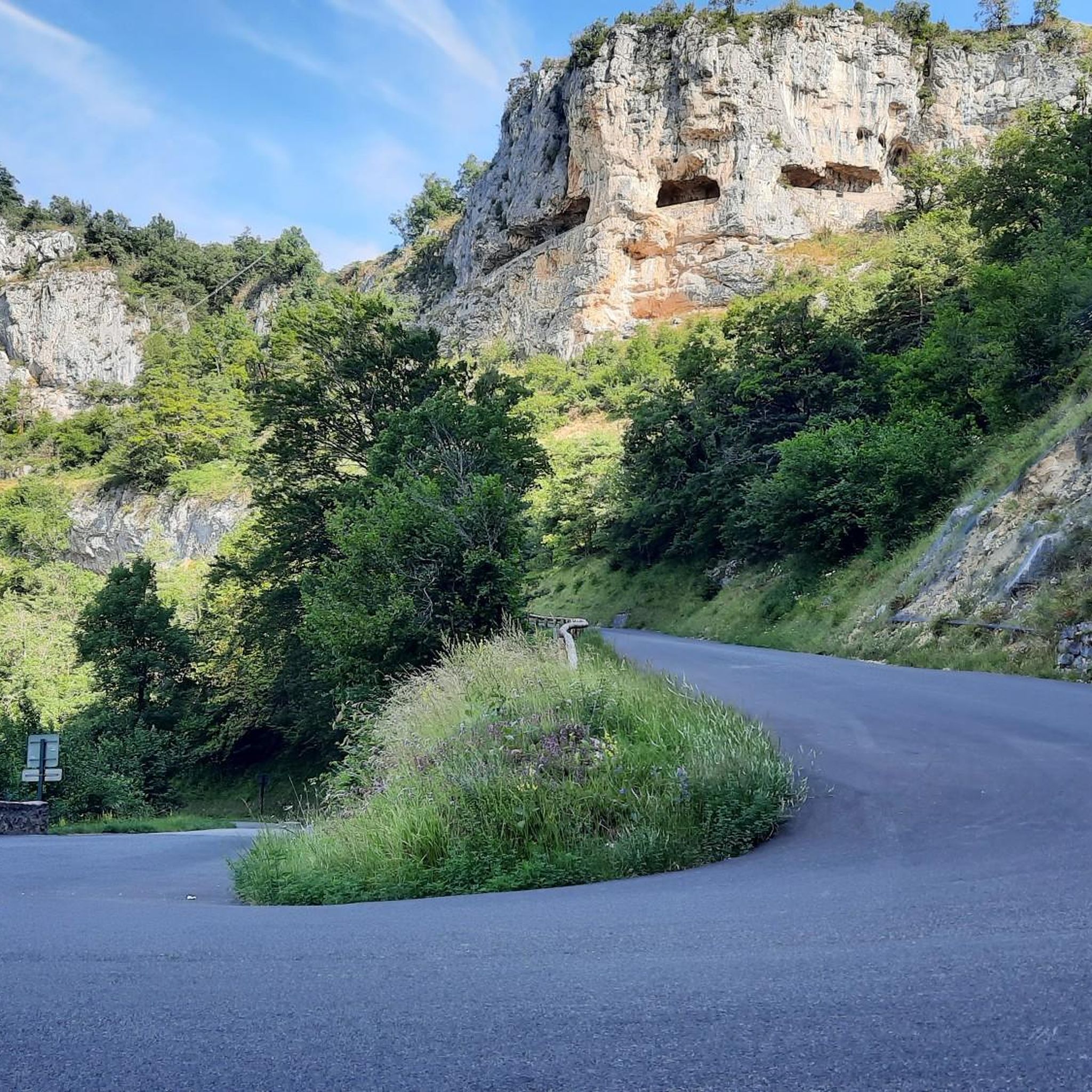
Mountaineering routes around Choranche are situated within the Vercors Regional Natural Park, characterized by its dramatic limestone cliffs and rugged terrain. The region features the Vercors Massif and the renowned Presles cliffs, offering significant elevation gains and challenging vertical experiences. Deep gorges and varied geological formations define the landscape, providing a diverse environment for mountaineering. This area is known for its extensive network of trails, catering to various skill levels.
Best mountaineering routes around Choranche
- The most popular mountaineering route…
Last updated: August 29, 2026
11
hikers
10.3km
04:18
830m
830m
Moderate mountaineering route. Good fitness required. Mostly accessible paths. Sure-footedness required.
5.0
(1)
7
hikers
Hard mountaineering route. Very good fitness required. Mostly accessible paths. Sure-footedness required.

Sign up for free
5
hikers
Moderate mountaineering route. Good fitness required. Mostly accessible paths. Sure-footedness required.
1
hikers
12.3km
04:01
530m
530m
Moderate mountaineering route. Good fitness required. Easily-accessible paths. Suitable for all skill levels.
Our route recommendations are based on thousands of hikes, rides, and runs completed by other people on komoot.
Start today with a free account
Your next adventure awaits.
Login or Signup
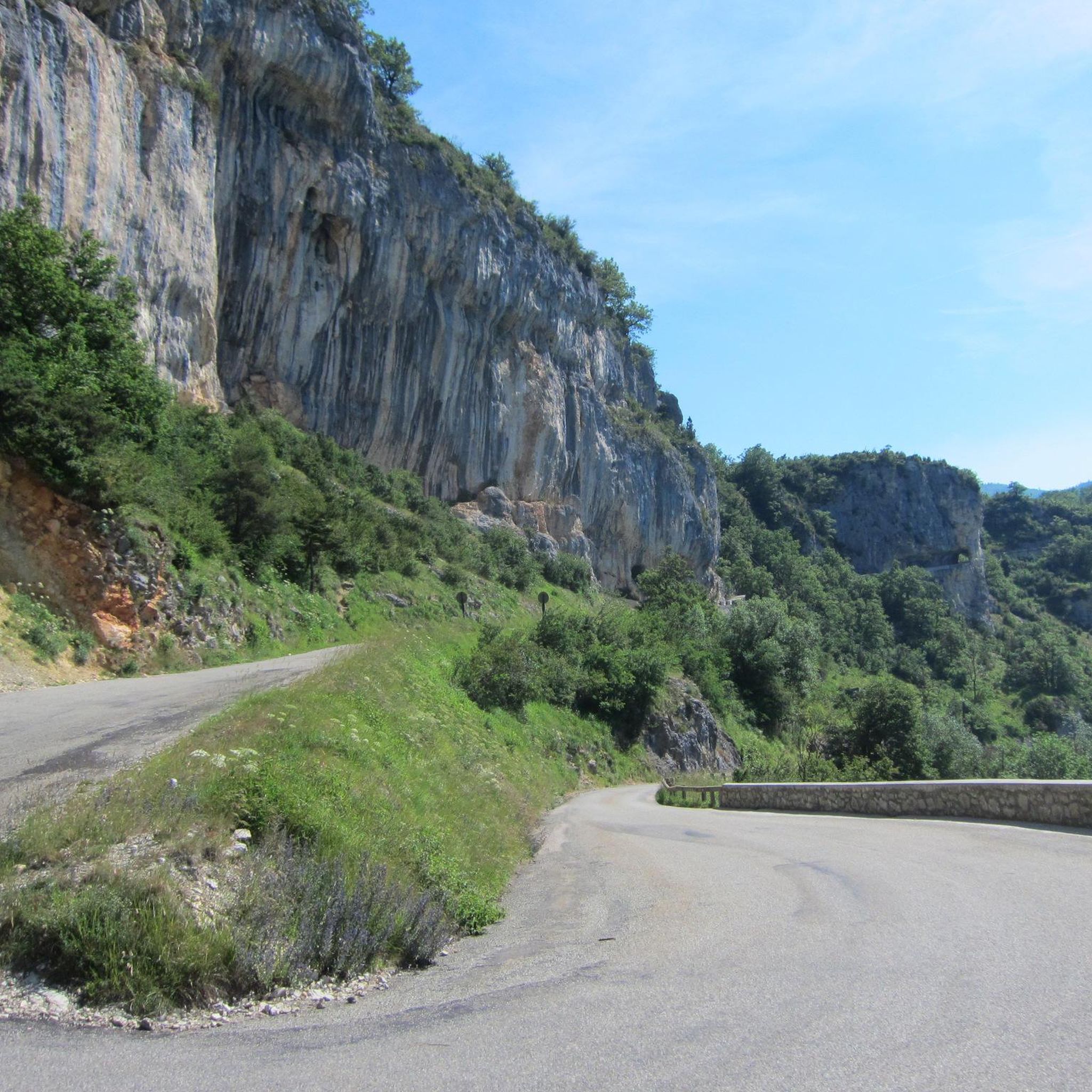
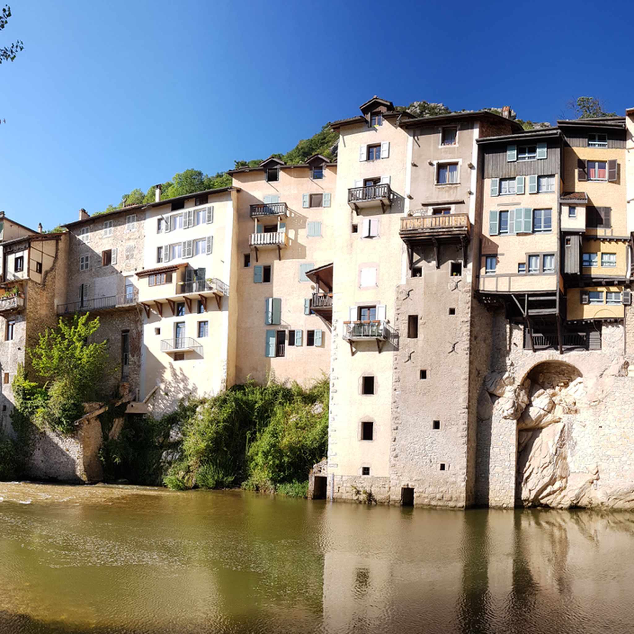
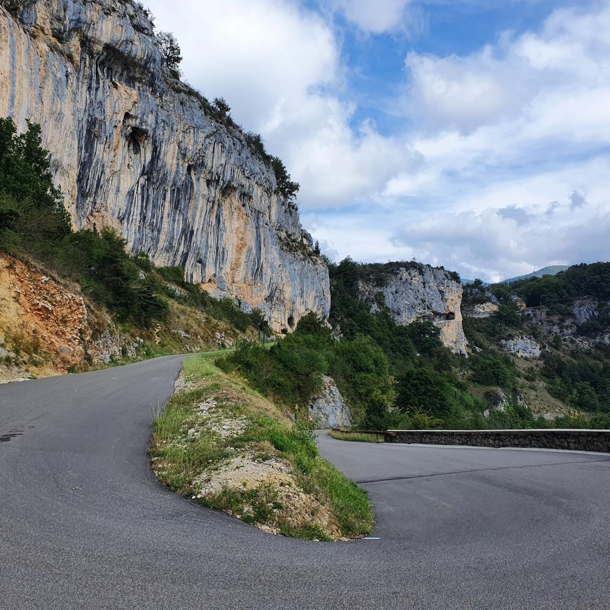
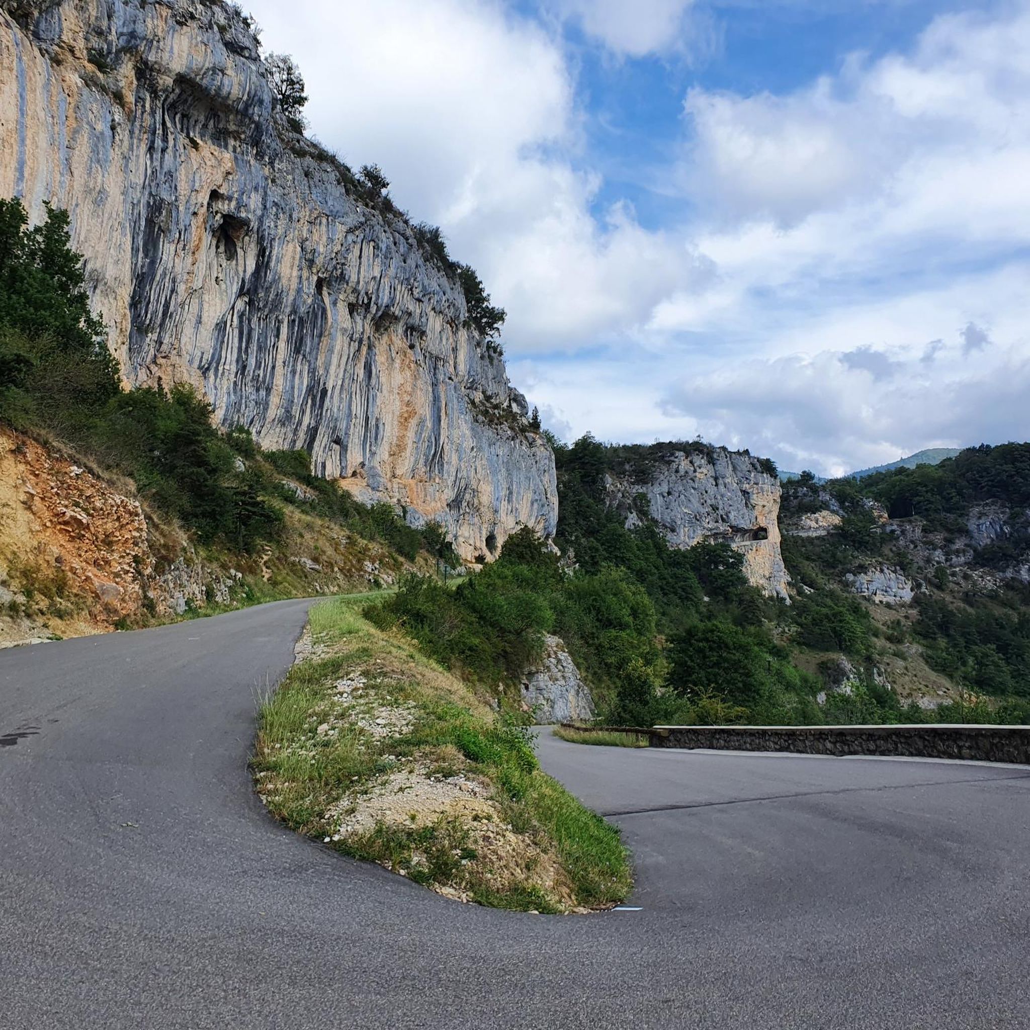

Tips from the Community

Attention closed on weekdays in September
0
0

Pleasant lunch break spot - swimming prohibited
0
0

Very beautiful site for bivouac. But a few unserious people who swim and light fires even though it’s forbidden
0
0

Very beautiful view of the lake and the Alps
1
0

Mountain ridge with pastel shades
0
0

The gondola is a great way to gain altitude quickly. It is open all year round but it is best to check the opening hours before leaving to be sure.
3
0

Artificial lake, water reservoir created for the needs of the snow cannons below.
0
0

Artificial lake (probably as a water reservoir for the snowmaking systems), but a photogenic splash of color in a rocky landscape.
0
0
Frequently Asked Questions
How many mountaineering routes are available around Choranche?
The Choranche area, nestled within the Vercors Regional Natural Park, offers a diverse range of mountaineering routes. While the guide highlights 6 top routes, there are many more to explore within the Vercors Massif, catering to various skill levels.
Are there routes suitable for beginners or those looking for an easier mountaineering experience?
Yes, there are moderate options available. For instance, the Scialet des Pullis loop from Corrençon-en-Vercors is a moderate 5.9-mile (9.6 km) route that offers beautiful views of the Vercors landscape without extreme difficulty.
What are some more challenging mountaineering routes in the Choranche area?
For those seeking a greater challenge, routes like the Tête des Chaudières – Pas de la Balme loop from Corrençon-en-Vercors present difficult terrain and significant elevation changes. Another demanding option is the La Moucherolle Lake – Lac des Prés loop from Piste olympique de luge de Villard-de-Lans, which is a 9.1-mile (14.6 km) trail leading through alpine landscapes.
What kind of terrain can I expect on mountaineering routes in Choranche?
Mountaineering in Choranche is defined by its dramatic limestone cliffs, deep gorges, and rugged terrain within the Vercors Massif. You'll encounter significant elevation gains, varied geological formations, and breathtaking panoramic views, especially around the renowned Presles cliffs and the Bourne gorges.
Are there any notable natural landmarks or viewpoints along the mountaineering routes?
Absolutely. The region is rich in natural beauty. Many routes offer views of the Vercors Massif and the Bourne gorges. You might also encounter highlights such as the Combe Laval Cirque or the impressive White Waterfall. The Presles cliffs themselves are a spectacular backdrop and a landmark for climbers.
Can I combine mountaineering with a visit to the Choranche Caves?
While the Choranche Caves are a major natural attraction known for their thin stalactites and underground rivers, they are not directly part of the mountaineering routes. However, hiking to the caves themselves offers picturesque routes through a green environment with impressive limestone cliffs, making it a great complementary activity to your mountaineering adventure.
What do other mountaineers enjoy the most about mountaineering in Choranche?
The area is highly rated by the komoot community, with an average score of 5.0 stars from 3 reviews. Mountaineers often praise the dramatic limestone cliffs, the challenging vertical experiences, and the stunning natural beauty of the Vercors Regional Natural Park.
Are there any circular mountaineering routes in the area?
Yes, many of the mountaineering routes around Choranche are designed as loops. For example, the Beautiful view of the mountains – Lac des Prés loop from Piste olympique de luge de Villard-de-Lans is a moderate circular route offering scenic vistas.
What is the best time of year for mountaineering in Choranche?
The Vercors region is generally best explored during the warmer months, from late spring to early autumn, when trails are clear of snow and weather conditions are more stable. This allows for optimal enjoyment of the high-altitude trails and dramatic landscapes.
Are there any long-duration mountaineering trails for extended adventures?
For longer excursions, consider routes like the Tête des Chaudières – Rocher de la Balme loop from Corrençon-en-Vercors. This difficult route spans over 8.5 miles (13.6 km) and can take over 5 hours to complete, offering a sustained challenge through varied terrain.
Are the mountaineering routes around Choranche suitable for families?
While many mountaineering routes in Choranche involve significant elevation gains and challenging terrain, the region also offers accessible options like the Via Corda de Choranche, which combines easy climbing and alpine hiking. For younger families, shorter, easier hikes with impressive views of the Bourne valley are also available, though these might not be classified as mountaineering.
Most popular routes around Choranche
Most popular attractions around Choranche

Get inspired with the komoot mobile app


Explore more
Browse the best Mountain Hikes & Routes in other regions.
